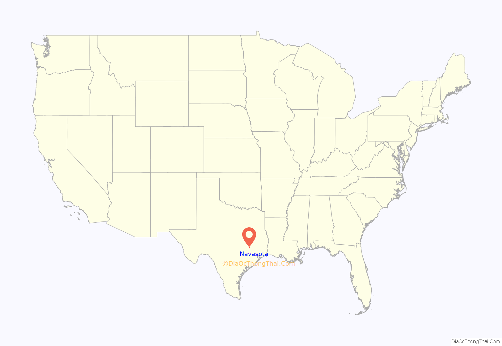
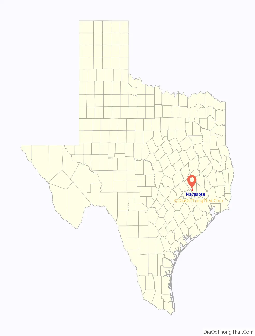
Navasota is a city in Grimes County, Texas, United States. The population was 7,643 at the 2020 census. In 2005, the Texas Legislature designated Navasota as the “Blues Capital of Texas” in honor of the late Mance Lipscomb, a Navasota native and blues musician.
| Name: | Navasota city |
|---|---|
| LSAD Code: | 25 |
| LSAD Description: | city (suffix) |
| State: | Texas |
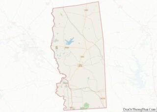
| County: | Grimes County |
| Elevation: | 213 ft (65 m) |
| Total Area: | 8.37 sq mi (21.67 km²) |
| Land Area: | 8.33 sq mi (21.57 km²) |
| Water Area: | 0.04 sq mi (0.10 km²) |
| Total Population: | 7,643 |
| Population Density: | 960.49/sq mi (370.85/km²) |
| ZIP code: | 77868, 77869 |
| FIPS code: | 4850472 |
| GNISfeature ID: | 2411217 |
| Website: | www.navasotatx.gov |
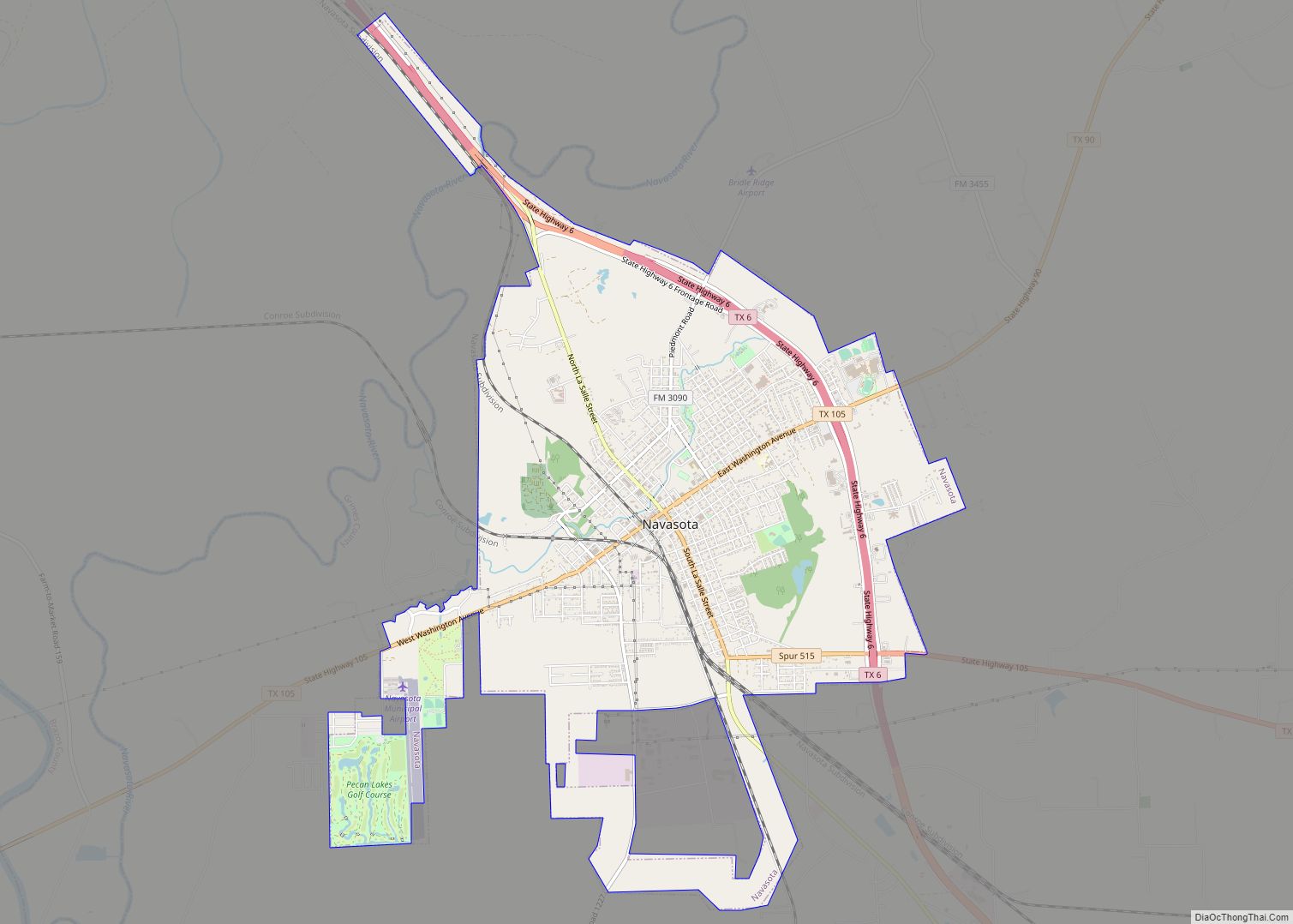
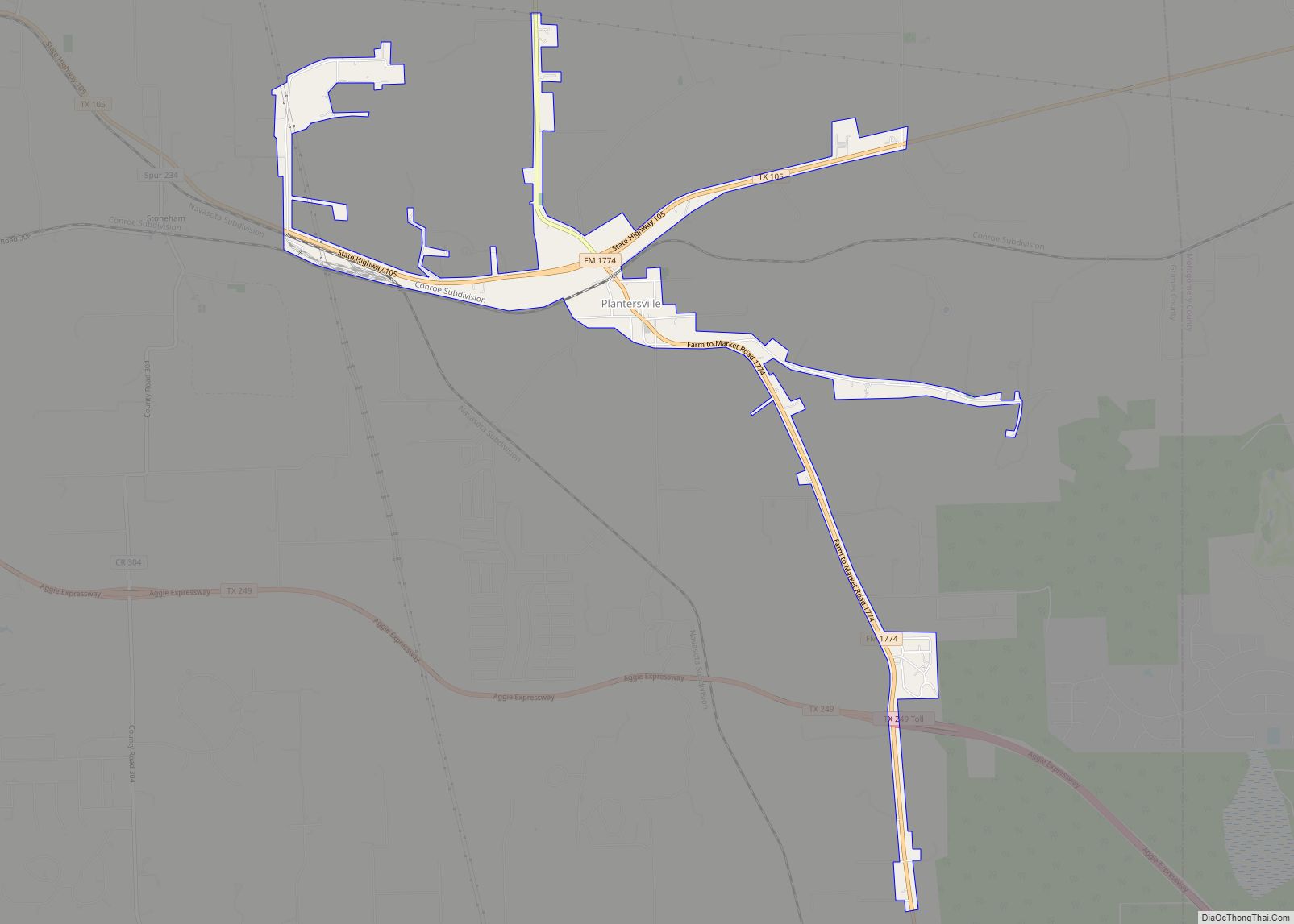
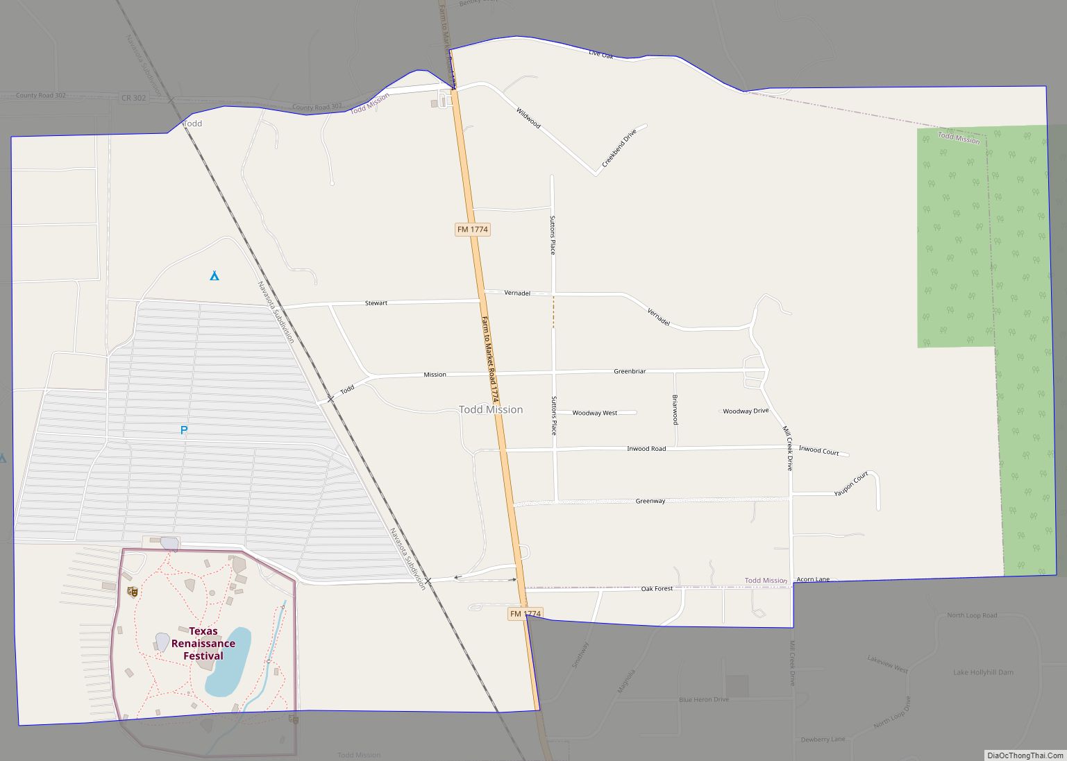
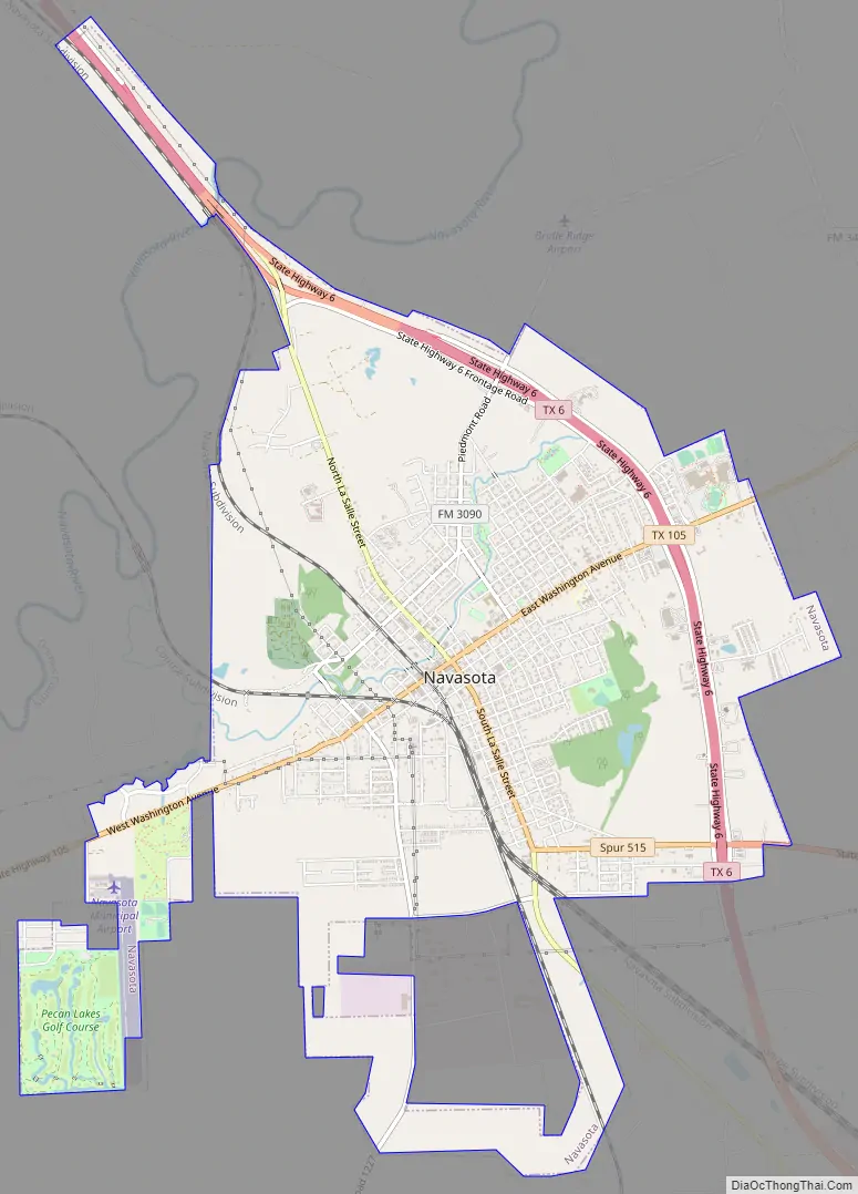
Online Interactive Map
Click on ![]() to view map in "full screen" mode.
to view map in "full screen" mode.
History
The French explorer René-Robert Cavelier, Sieur de La Salle, who was misguided in his 1687 attempt to locate the Mississippi River and trying to find his way back to French-held lands near the Great Lakes, came through the area that would become Navasota, where he was murdered by one of his men. After numerous voyages, explorations of the Mississippi River valley, and trading ventures and several mutinies, La Salle’s bones are believed to have found their resting place in the Navasota Valley.
Navasota was founded by European-Americans in 1831 as a stagecoach stop named “Nolansville.” Its name was changed in 1858 to Navasota, a name perhaps derived from the Native American word nabatoto (“muddy water”).
After September 1859, when the Houston and Texas Central Railway built rails through the town, Navasota became an important shipping and marketing center for the surrounding area. When the nearby historic town of Washington-on-the-Brazos resisted railways, it forfeited its geographic advantage and began to decline after many of its businesses and residents began to migrate to the new railhead 7 miles (11 km) to the northeast across the Brazos River at Navasota.
Slavery was integral to the local economy. Planters depended on enslaved African Americans to provide labor for their large cotton plantations. The slaves were brought to the city and sold in the domestic slave trade. They worked primarily in the cotton fields, which were a major commodity crop in the area. Guns were made in nearby Anderson. Cotton, gunpowder, and shoes were made, processed, and stored in Anderson for the Confederacy during the American Civil War.
By 1865, the population of Navasota was about 2,700. Throughout the Civil War, all the marketable goods produced in the region were brought to Navasota, which at the time was the furthest inland railhead in Texas. Such goods were shipped south by rail to Galveston, where they could be transported by steamboat along the Texas coast and up the Mississippi River to the war effort or exported to Mexico or overseas to Europe.
Geography
Navasota is located in southwestern Grimes County, Texas, east of the Navasota River (a tributary of the Brazos River). It is 71 miles (114 km) northwest of Houston. Texas State Highway 105 is the main east–west route that passes through the center of Navasota, leading southwest 25 miles (40 km) to Brenham and east 41 miles (66 km) to Conroe. Texas State Highway 6 passes north–south through the eastern side of the city as a four-lane bypass, leading northwest 22 miles (35 km) to College Station and south 21 miles (34 km) to Hempstead.
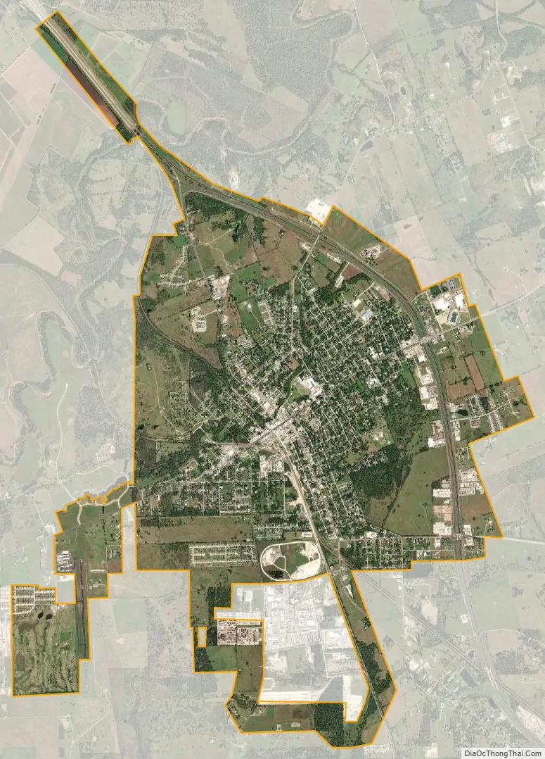
According to the United States Census Bureau, the city has a total area of 7.4 square miles (19.1 km), of which 0.04 square miles (0.1 km), or 0.47%, is water.
See also
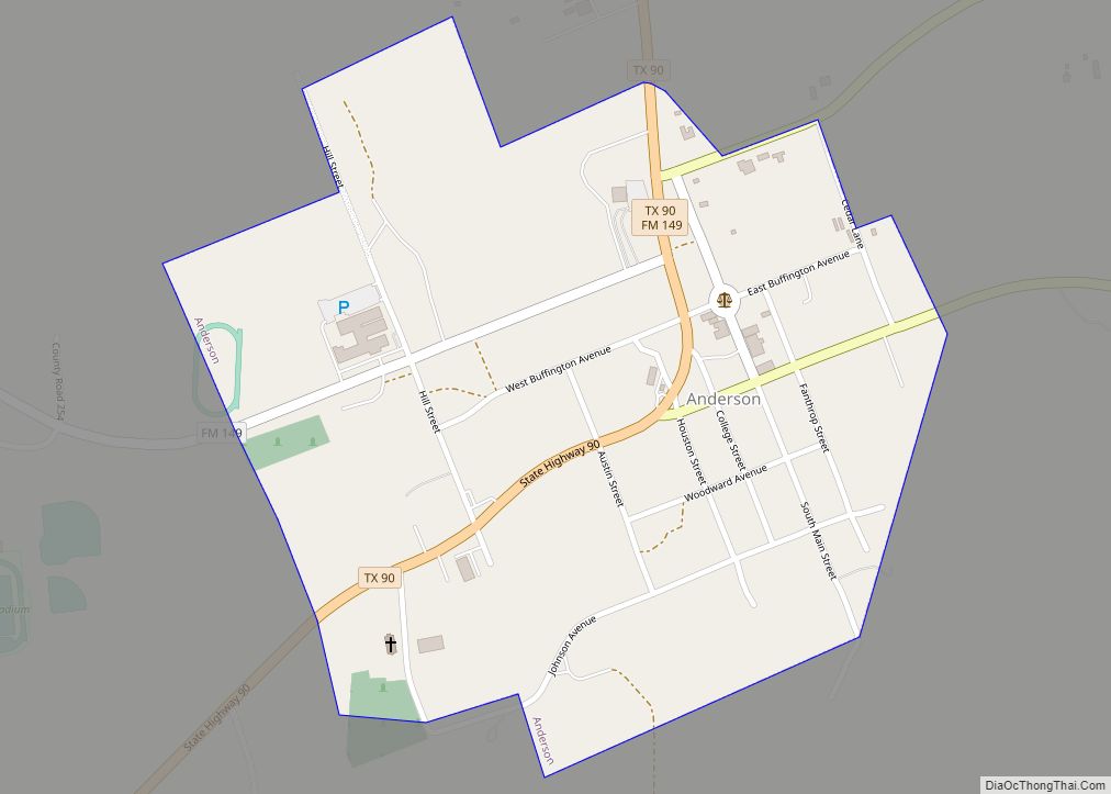
Map of Texas State and its subdivision:- Anderson
- Andrews
- Angelina
- Aransas
- Archer
- Armstrong
- Atascosa
- Austin
- Bailey
- Bandera
- Bastrop
- Baylor
- Bee
- Bell
- Bexar
- Blanco
- Borden
- Bosque
- Bowie
- Brazoria
- Brazos
- Brewster
- Briscoe
- Brooks
- Brown
- Burleson
- Burnet
- Caldwell
- Calhoun
- Callahan
- Cameron
- Camp
- Carson
- Cass
- Castro
- Chambers
- Cherokee
- Childress
- Clay
- Cochran
- Coke
- Coleman
- Collin
- Collingsworth
- Colorado
- Comal
- Comanche
- Concho
- Cooke
- Coryell
- Cottle
- Crane
- Crockett
- Crosby
- Culberson
- Dallam
- Dallas
- Dawson
- Deaf Smith
- Delta
- Denton
- Dewitt
- Dickens
- Dimmit
- Donley
- Duval
- Eastland
- Ector
- Edwards
- El Paso
- Ellis
- Erath
- Falls
- Fannin
- Fayette
- Fisher
- Floyd
- Foard
- Fort Bend
- Franklin
- Freestone
- Frio
- Gaines
- Galveston
- Garza
- Gillespie
- Glasscock
- Goliad
- Gonzales
- Gray
- Grayson
- Gregg
- Grimes
- Guadalupe
- Hale
- Hall
- Hamilton
- Hansford
- Hardeman
- Hardin
- Harris
- Harrison
- Hartley
- Haskell
- Hays
- Hemphill
- Henderson
- Hidalgo
- Hill
- Hockley
- Hood
- Hopkins
- Houston
- Howard
- Hudspeth
- Hunt
- Hutchinson
- Irion
- Jack
- Jackson
- Jasper
- Jeff Davis
- Jefferson
- Jim Hogg
- Jim Wells
- Johnson
- Jones
- Karnes
- Kaufman
- Kendall
- Kenedy
- Kent
- Kerr
- Kimble
- King
- Kinney
- Kleberg
- Knox
- La Salle
- Lamar
- Lamb
- Lampasas
- Lavaca
- Lee
- Leon
- Liberty
- Limestone
- Lipscomb
- Live Oak
- Llano
- Loving
- Lubbock
- Lynn
- Madison
- Marion
- Martin
- Mason
- Matagorda
- Maverick
- McCulloch
- McLennan
- McMullen
- Medina
- Menard
- Midland
- Milam
- Mills
- Mitchell
- Montague
- Montgomery
- Moore
- Morris
- Motley
- Nacogdoches
- Navarro
- Newton
- Nolan
- Nueces
- Ochiltree
- Oldham
- Orange
- Palo Pinto
- Panola
- Parker
- Parmer
- Pecos
- Polk
- Potter
- Presidio
- Rains
- Randall
- Reagan
- Real
- Red River
- Reeves
- Refugio
- Roberts
- Robertson
- Rockwall
- Runnels
- Rusk
- Sabine
- San Augustine
- San Jacinto
- San Patricio
- San Saba
- Schleicher
- Scurry
- Shackelford
- Shelby
- Sherman
- Smith
- Somervell
- Starr
- Stephens
- Sterling
- Stonewall
- Sutton
- Swisher
- Tarrant
- Taylor
- Terrell
- Terry
- Throckmorton
- Titus
- Tom Green
- Travis
- Trinity
- Tyler
- Upshur
- Upton
- Uvalde
- Val Verde
- Van Zandt
- Victoria
- Walker
- Waller
- Ward
- Washington
- Webb
- Wharton
- Wheeler
- Wichita
- Wilbarger
- Willacy
- Williamson
- Wilson
- Winkler
- Wise
- Wood
- Yoakum
- Young
- Zapata
- Zavala
- Alabama
- Alaska
- Arizona
- Arkansas
- California
- Colorado
- Connecticut
- Delaware
- District of Columbia
- Florida
- Georgia
- Hawaii
- Idaho
- Illinois
- Indiana
- Iowa
- Kansas
- Kentucky
- Louisiana
- Maine
- Maryland
- Massachusetts
- Michigan
- Minnesota
- Mississippi
- Missouri
- Montana
- Nebraska
- Nevada
- New Hampshire
- New Jersey
- New Mexico
- New York
- North Carolina
- North Dakota
- Ohio
- Oklahoma
- Oregon
- Pennsylvania
- Rhode Island
- South Carolina
- South Dakota
- Tennessee
- Texas
- Utah
- Vermont
- Virginia
- Washington
- West Virginia
- Wisconsin
- Wyoming