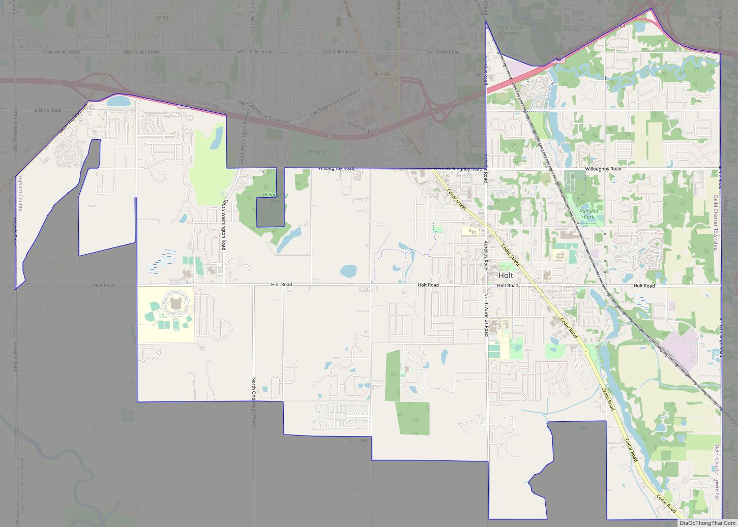
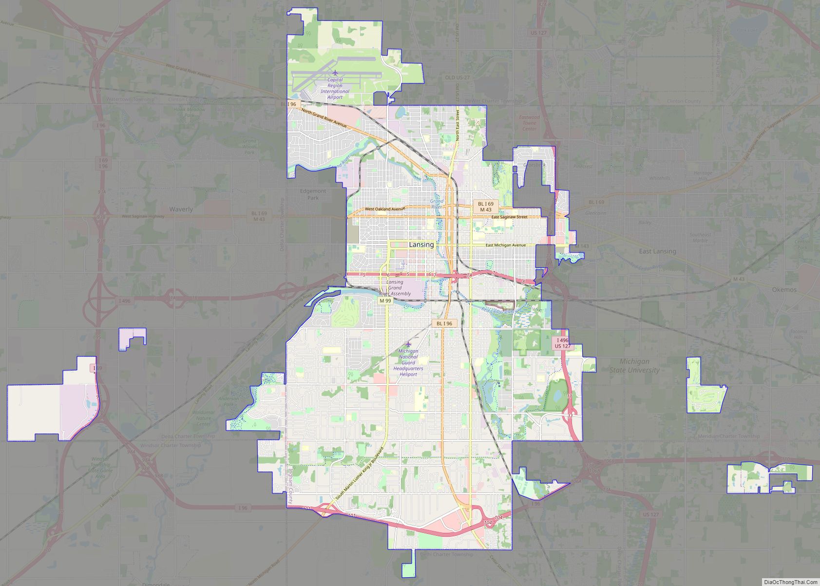
Ingham County (/ˈɪŋəm/ ING-əm) is a county located in the U.S. state of Michigan. As of the 2020 Census, the population was 284,900. The county seat is Mason. Lansing, the state capital of Michigan, is largely located within the county. (Lansing is the only state capital in the United States located in a county of which it is not also the seat of government.) The county is home to Michigan State University, Lansing Community College, and the Class A minor league baseball team Lansing Lugnuts. Ingham County is included in the Lansing–East Lansing, MI Metropolitan Statistical Area. It is considered to be a part of Mid Michigan.
| Name: | Ingham County |
|---|---|
| FIPS code: | 26-065 |
| State: | Michigan |
| Founded: | October 29, 1829 (created) 1838 (organized) |
| Named for: | Samuel D. Ingham |
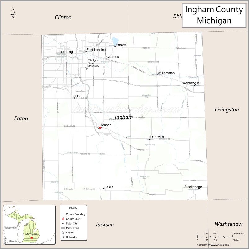
| Seat: | Mason |
| Largest city: | Lansing |
| Total Area: | 561 sq mi (1,450 km²) |
| Land Area: | 556 sq mi (1,440 km²) |
| Total Population: | 284,900 |
| Population Density: | 505/sq mi (195/km²) |
| Time zone: | UTC−5 (Eastern) |
| Summer Time Zone (DST): | UTC−4 (EDT) |
| Website: | www.ingham.org |
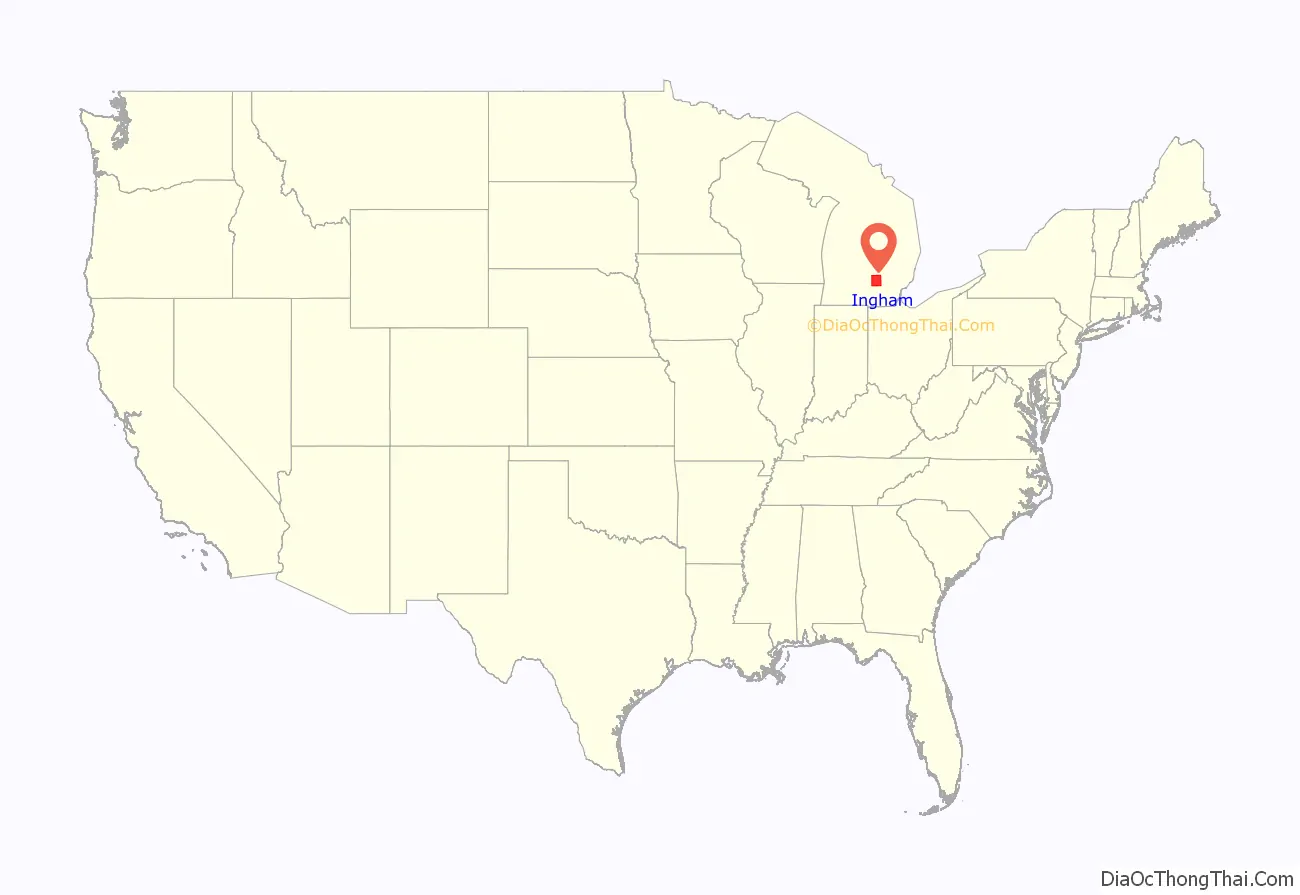
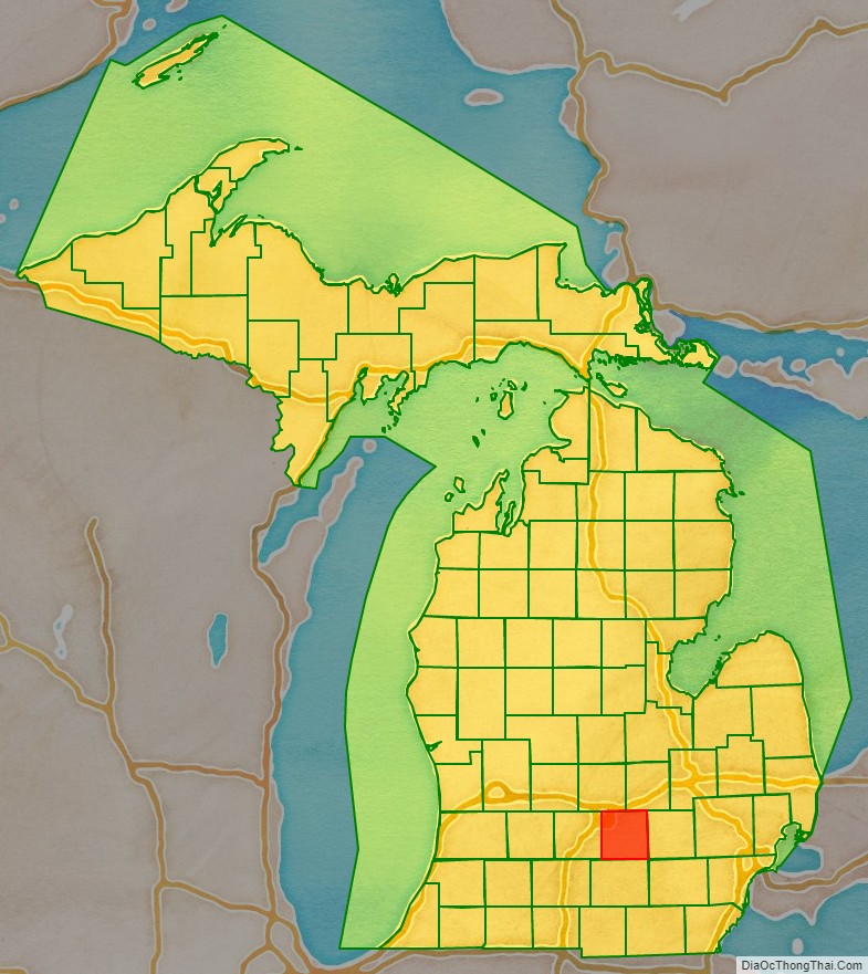
Ingham County location map. Where is Ingham County?
History
Ingham County was established by an act of the Michigan Territorial Legislature on October 29, 1829, from portions of Shiawassee County, Washtenaw County and unorganized territory. It was attached for administrative purposes to Washtenaw County until 1838 when county government was established for Ingham.
The county was named for Samuel D. Ingham, the U.S. Secretary of the Treasury under President Andrew Jackson, making Ingham one of Michigan’s so-called Cabinet counties.
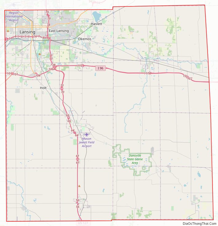
Ingham County Road Map
Geography
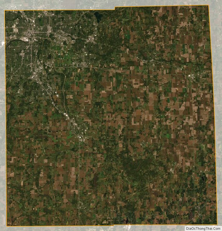
According to the U.S. Census Bureau, the county has a total area of 561 square miles (1,450 km), of which 556 square miles (1,440 km) is land and 4.6 square miles (12 km) (0.8%) is water.
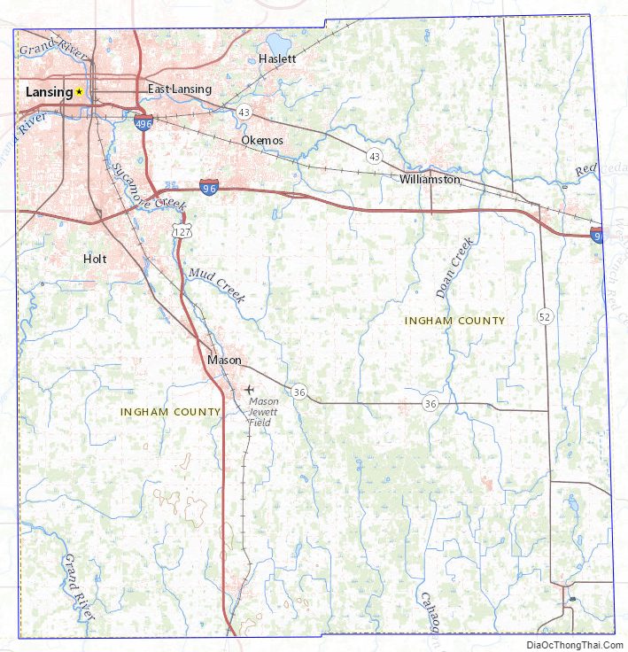
The county consists of gently rolling hills with an elevation ranging between 800 and 1,000 feet above sea level. The highest point in the county is the top of Teaspoon Hill rising to a height of 1,056 feet above sea level 1.5 miles north of Leslie.
The Grand River winds northward along the western boundary of the county and the Red Cedar River flows west across the northern section into the Grand River in Lansing. Most of the midsection of the county drains to the north into the Red Cedar River and the northern tier of townships drain to the south into the Cedar. The Sycamore Creek, flowing northwest into the Red Cedar in Lansing, drains much of the midsection of the county. Most of the southern portion of the county drains south or west into the Grand River. The southeastern corner drains to the southeast into the Huron River via the Portage Creek and Portage River and a series of small lakes.
Adjacent counties
- Shiawassee County (northeast)
- Livingston County (east)
- Washtenaw County (southeast)
- Jackson County (south)
- Eaton County (west)
- Clinton County (north)
Ingham County Topographic Map
Ingham County Satellite Map
Ingham County Outline Map