Leslie is a city in Ingham County in the U.S. state of Michigan. The population was 1,851 at the 2010 census. The city is surrounded by Leslie Township, but the two are administered autonomously.
| Name: | Leslie city |
|---|---|
| LSAD Code: | 25 |
| LSAD Description: | city (suffix) |
| State: | Michigan |
| County: | Ingham County |
| Incorporated: | 1869 (village) 1968 (city) |
| Elevation: | 935 ft (285 m) |
| Total Area: | 1.28 sq mi (3.33 km²) |
| Land Area: | 1.28 sq mi (3.32 km²) |
| Water Area: | 0.00 sq mi (0.00 km²) |
| Total Population: | 1,927 |
| Population Density: | 1,501.95/sq mi (579.76/km²) |
| Area code: | 517 |
| FIPS code: | 2647180 |
| GNISfeature ID: | 1626610 |
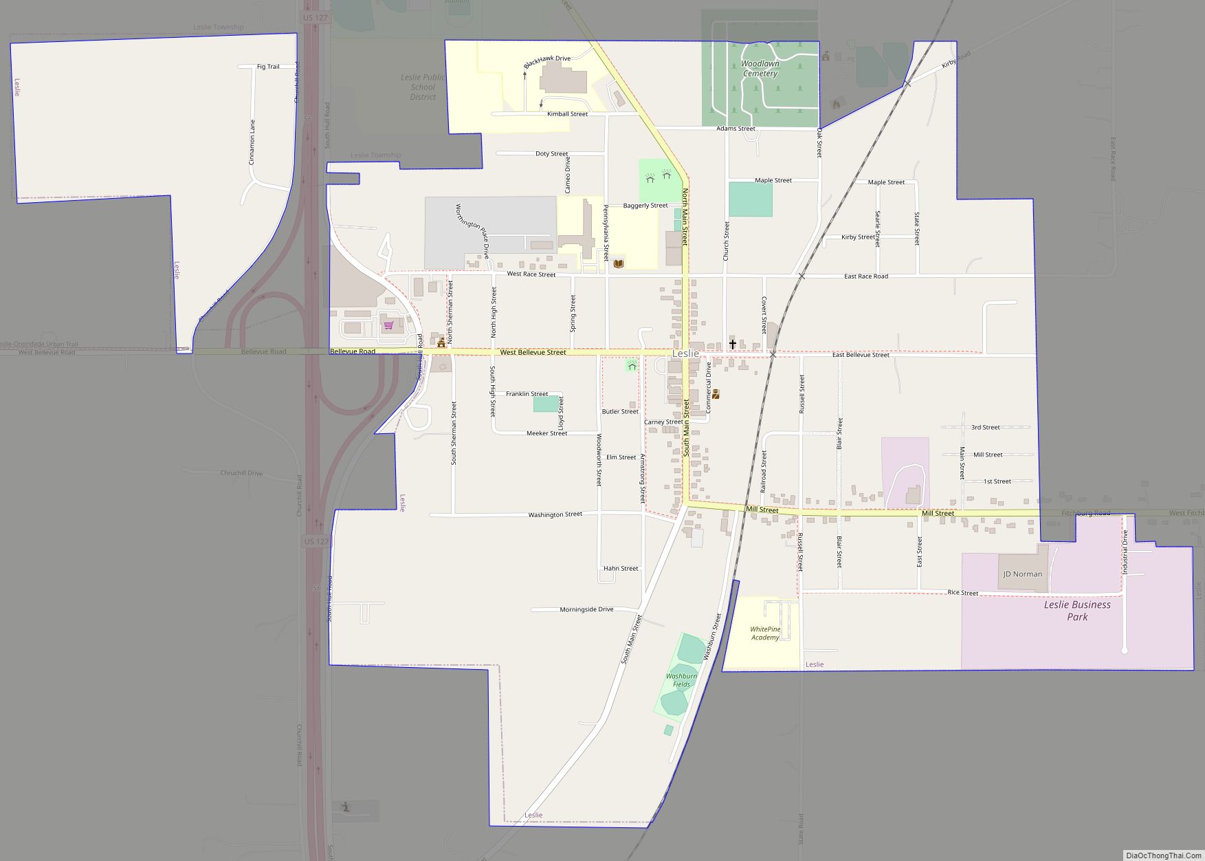
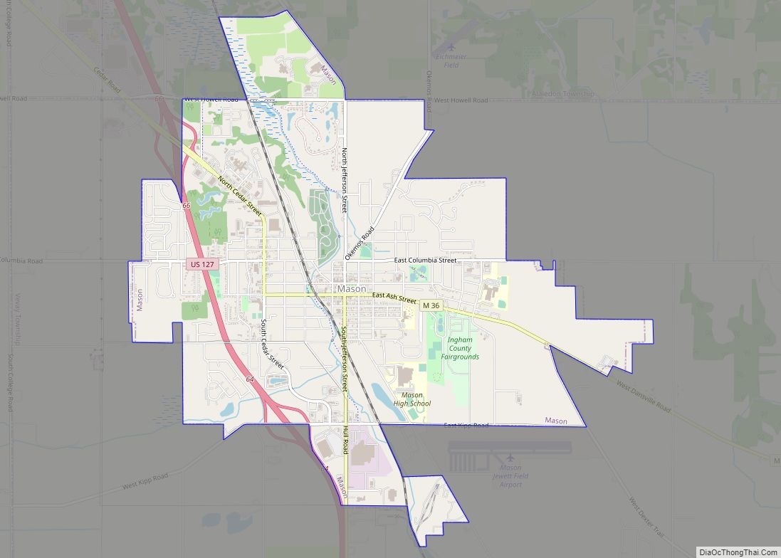
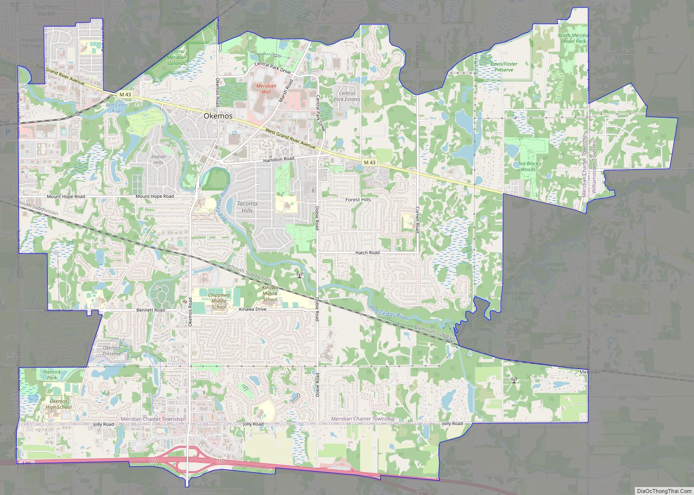
Online Interactive Map
Click on ![]() to view map in "full screen" mode.
to view map in "full screen" mode.
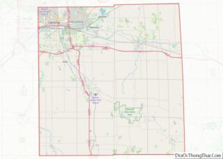
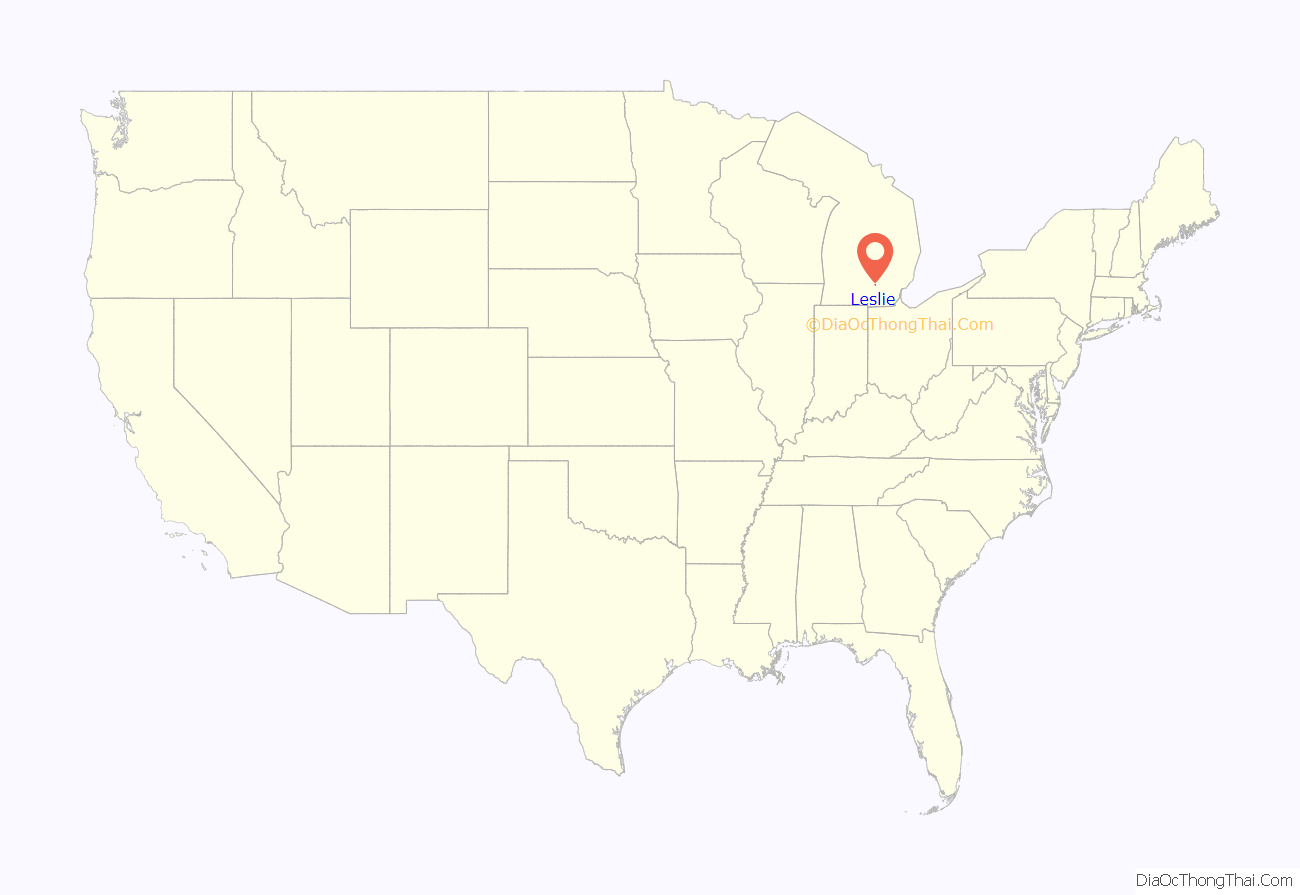
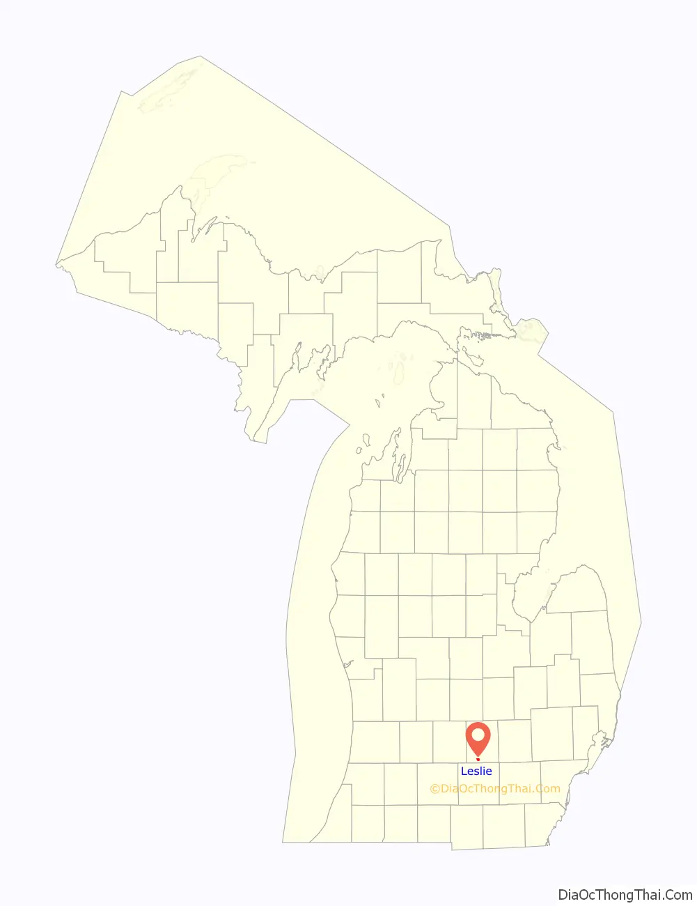
Leslie location map. Where is Leslie city?
History
Leslie was first settled by Elijah Woodworth in 1836, who built the first log cabin in the city. It was originally named Meekerville after a pioneer to the area, Benjamin Meeker. Jerry G. Cornell named the town after a prominent Leslie family in eastern New York, his home state. The name Leslie was adopted officially when a post office was assigned to the area in 1841. Leslie was later incorporated as a village in 1869, and as a city nearly 100 years later in 1968.
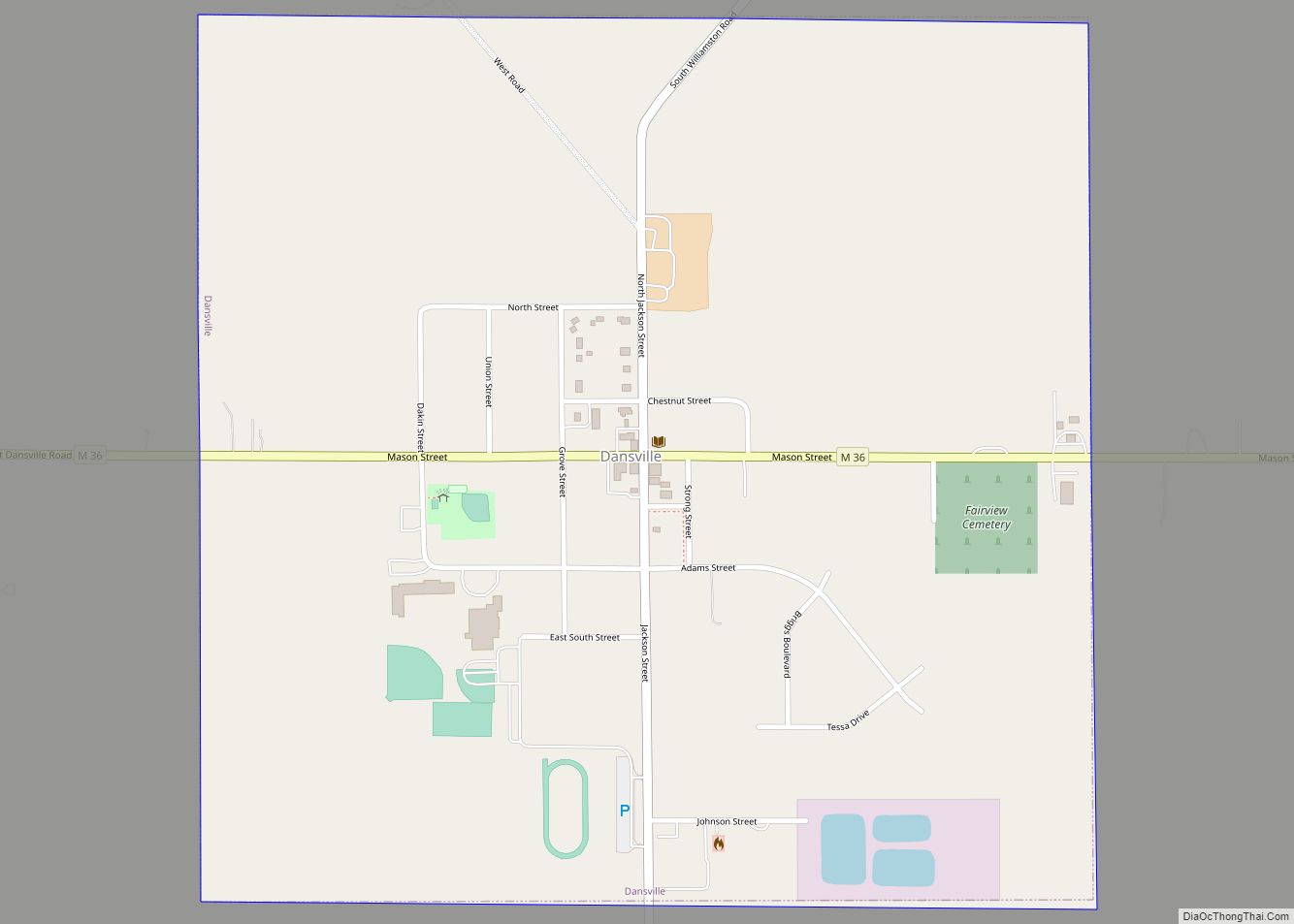
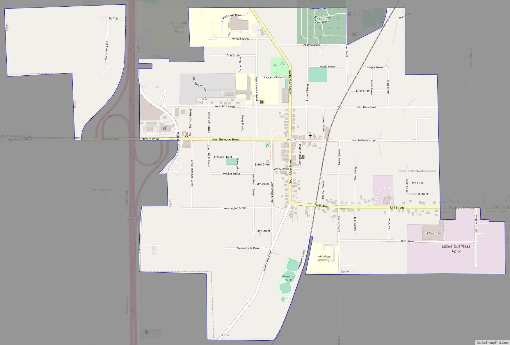
Leslie Road Map
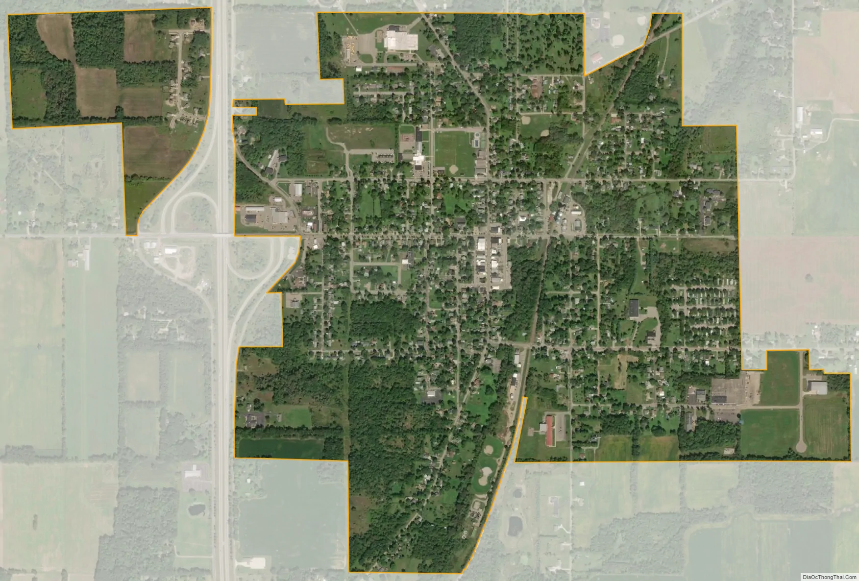
Leslie city Satellite Map
Geography
The city of Leslie lies just east of US 127 in Ingham County on gently rolling hills. The city is located 28 miles (45 km) directly south of Lansing, and 17 miles (27 km) directly north of Jackson. Leslie is also near Meridian-Baseline State Park.
Numerous creeks flow through the city. Huntoon Creek, draining out from Huntoon Lake off of East Kinneville carves its way through downtown Leslie and by the City Little League Baseball fields.
According to the United States Census Bureau, the city has a total area of 1.29 square miles (3.34 km), all land.
See also
Map of Michigan State and its subdivision:- Alcona
- Alger
- Allegan
- Alpena
- Antrim
- Arenac
- Baraga
- Barry
- Bay
- Benzie
- Berrien
- Branch
- Calhoun
- Cass
- Charlevoix
- Cheboygan
- Chippewa
- Clare
- Clinton
- Crawford
- Delta
- Dickinson
- Eaton
- Emmet
- Genesee
- Gladwin
- Gogebic
- Grand Traverse
- Gratiot
- Hillsdale
- Houghton
- Huron
- Ingham
- Ionia
- Iosco
- Iron
- Isabella
- Jackson
- Kalamazoo
- Kalkaska
- Kent
- Keweenaw
- Lake
- Lake Hurron
- Lake Michigan
- Lake St. Clair
- Lake Superior
- Lapeer
- Leelanau
- Lenawee
- Livingston
- Luce
- Mackinac
- Macomb
- Manistee
- Marquette
- Mason
- Mecosta
- Menominee
- Midland
- Missaukee
- Monroe
- Montcalm
- Montmorency
- Muskegon
- Newaygo
- Oakland
- Oceana
- Ogemaw
- Ontonagon
- Osceola
- Oscoda
- Otsego
- Ottawa
- Presque Isle
- Roscommon
- Saginaw
- Saint Clair
- Saint Joseph
- Sanilac
- Schoolcraft
- Shiawassee
- Tuscola
- Van Buren
- Washtenaw
- Wayne
- Wexford
- Alabama
- Alaska
- Arizona
- Arkansas
- California
- Colorado
- Connecticut
- Delaware
- District of Columbia
- Florida
- Georgia
- Hawaii
- Idaho
- Illinois
- Indiana
- Iowa
- Kansas
- Kentucky
- Louisiana
- Maine
- Maryland
- Massachusetts
- Michigan
- Minnesota
- Mississippi
- Missouri
- Montana
- Nebraska
- Nevada
- New Hampshire
- New Jersey
- New Mexico
- New York
- North Carolina
- North Dakota
- Ohio
- Oklahoma
- Oregon
- Pennsylvania
- Rhode Island
- South Carolina
- South Dakota
- Tennessee
- Texas
- Utah
- Vermont
- Virginia
- Washington
- West Virginia
- Wisconsin
- Wyoming