Mason is a city and the county seat of Ingham County in the U.S. state of Michigan. The population was 8,252 at the 2010 census. Mason is the only city in the United States that serves as a county seat ahead of a state capital, as the nearby capital of Lansing is also largely located within Ingham County. Mason was named after Stevens T. Mason, the state’s first governor.
| Name: | Mason city |
|---|---|
| LSAD Code: | 25 |
| LSAD Description: | city (suffix) |
| State: | Michigan |
| County: | Ingham County |
| Incorporated: | 1865 (village) 1875 (city) |
| Elevation: | 915 ft (279 m) |
| Total Area: | 5.13 sq mi (13.29 km²) |
| Land Area: | 5.11 sq mi (13.24 km²) |
| Water Area: | 0.02 sq mi (0.05 km²) |
| Total Population: | 8,283 |
| Population Density: | 1,620.94/sq mi (625.81/km²) |
| Area code: | 517 |
| FIPS code: | 2652180 |
| GNISfeature ID: | 1626706 |
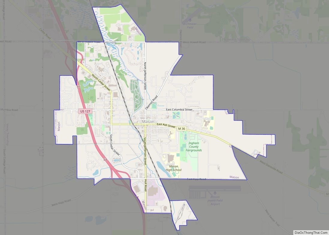
Online Interactive Map
Click on ![]() to view map in "full screen" mode.
to view map in "full screen" mode.
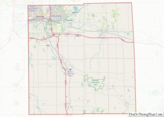
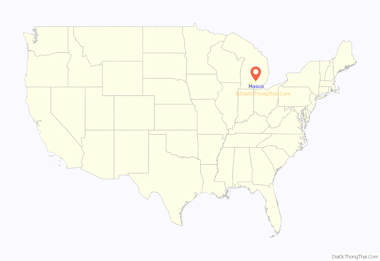
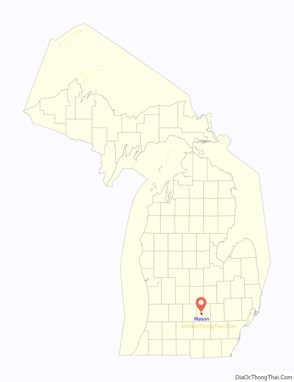
Mason location map. Where is Mason city?
History
In 1836 Charles Noble knew that Michigan would be seeking a central location for a new capital when it became a state. He purchased an area of forest, cleared 20 acres (81,000 m), and founded Mason Center. The “Center” was soon dropped. In 1847, however, the state chose Lansing Township 12 miles (19 km) northward to be its capital due to its potential for water power. Noble managed to make Mason the county seat instead. Ingham County’s first downtown courthouse was built in 1843, and was replaced in 1858, and then again in 1905.
In 1865, Mason was incorporated as a village; in 1875 the town became a city. In the 1800s, Mason was the center of Ingham County activity, even more than was Lansing, the state capital. In 1877, Lansing attempted to take the status of county seat for itself, but the two cities made an agreement that moved some county offices and courts to Lansing in exchange for Mason remaining the county seat. As a result, Michigan is the only state in the country with a capital city that is not also a county seat.
Up into the early 1900s, the local Ojibwa tribe had a visible presence in the town. In the 1900s, The Wyeth Corporation began producing baby formula in Mason, but that was discontinued in the 1990s. Today, it is home to the headquarters of Dart Container Corporation. Michigan Packaging Company, Gestamp Hardtech, and Ingham Intermediate School District also have facilities in the Mason area. Cattle can still be seen grazing within the city limits.
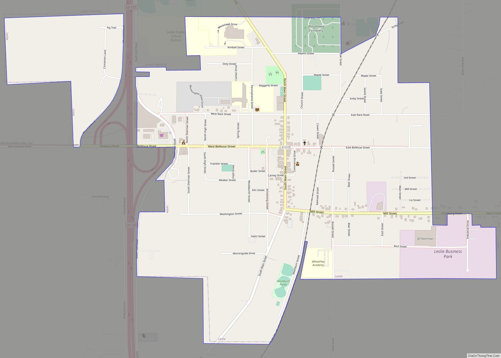
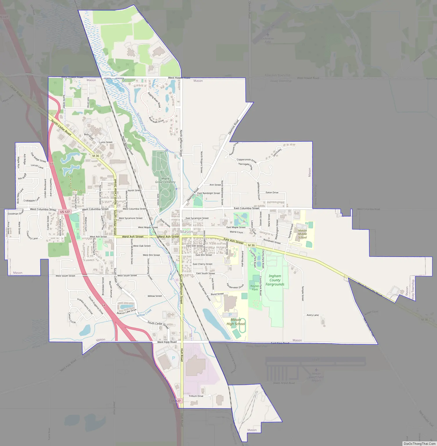
Mason Road Map
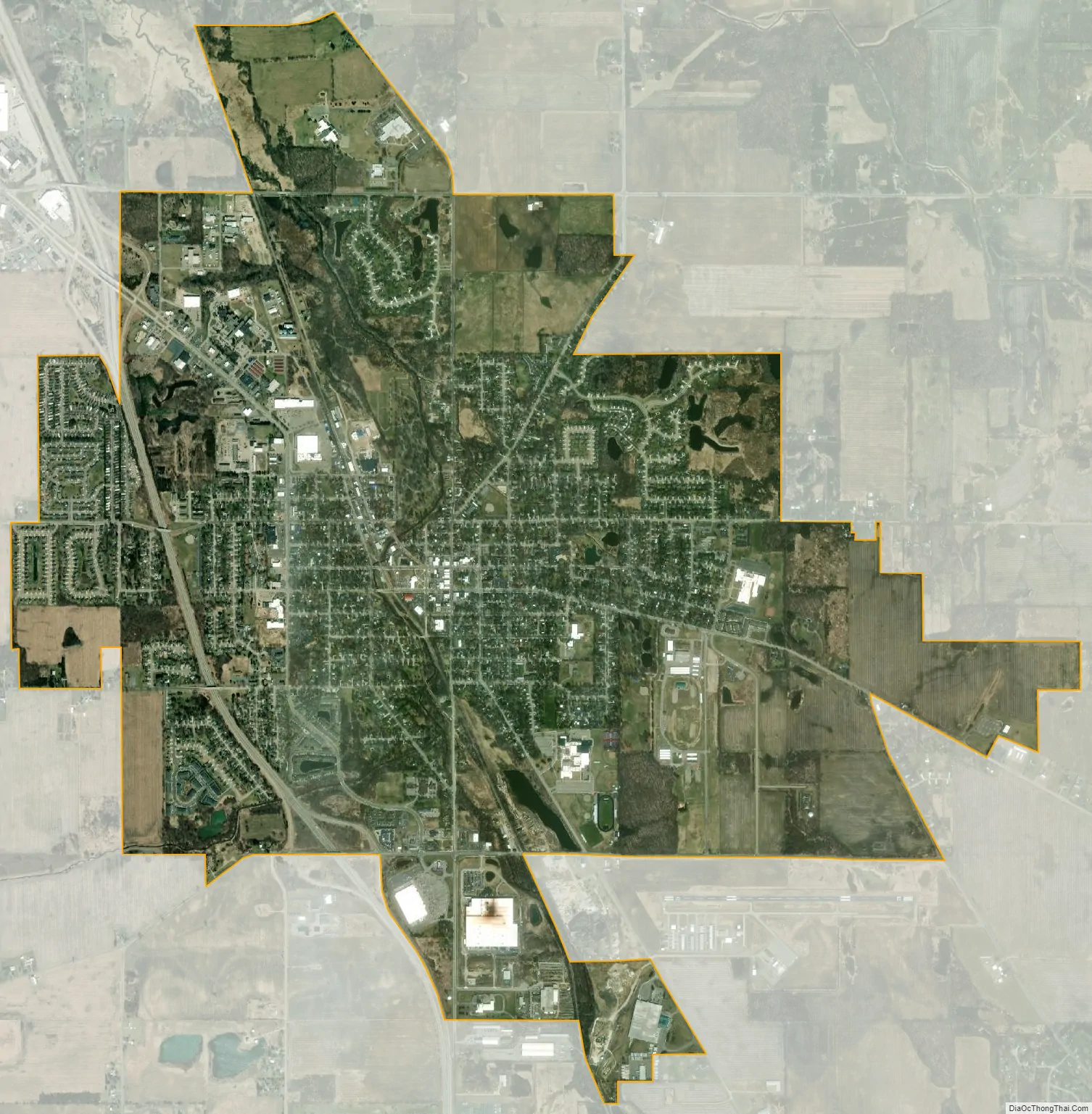
Mason city Satellite Map
Geography
According to the United States Census Bureau, the city has a total area of 5.13 square miles (13.29 km), of which 5.10 square miles (13.21 km) is land and 0.03 square miles (0.08 km) is water. Sycamore Creek flows through the city.
Mason sits upon the Mason Esker, which is one of the longest eskers in the western hemisphere.
See also
Map of Michigan State and its subdivision:- Alcona
- Alger
- Allegan
- Alpena
- Antrim
- Arenac
- Baraga
- Barry
- Bay
- Benzie
- Berrien
- Branch
- Calhoun
- Cass
- Charlevoix
- Cheboygan
- Chippewa
- Clare
- Clinton
- Crawford
- Delta
- Dickinson
- Eaton
- Emmet
- Genesee
- Gladwin
- Gogebic
- Grand Traverse
- Gratiot
- Hillsdale
- Houghton
- Huron
- Ingham
- Ionia
- Iosco
- Iron
- Isabella
- Jackson
- Kalamazoo
- Kalkaska
- Kent
- Keweenaw
- Lake
- Lake Hurron
- Lake Michigan
- Lake St. Clair
- Lake Superior
- Lapeer
- Leelanau
- Lenawee
- Livingston
- Luce
- Mackinac
- Macomb
- Manistee
- Marquette
- Mason
- Mecosta
- Menominee
- Midland
- Missaukee
- Monroe
- Montcalm
- Montmorency
- Muskegon
- Newaygo
- Oakland
- Oceana
- Ogemaw
- Ontonagon
- Osceola
- Oscoda
- Otsego
- Ottawa
- Presque Isle
- Roscommon
- Saginaw
- Saint Clair
- Saint Joseph
- Sanilac
- Schoolcraft
- Shiawassee
- Tuscola
- Van Buren
- Washtenaw
- Wayne
- Wexford
- Alabama
- Alaska
- Arizona
- Arkansas
- California
- Colorado
- Connecticut
- Delaware
- District of Columbia
- Florida
- Georgia
- Hawaii
- Idaho
- Illinois
- Indiana
- Iowa
- Kansas
- Kentucky
- Louisiana
- Maine
- Maryland
- Massachusetts
- Michigan
- Minnesota
- Mississippi
- Missouri
- Montana
- Nebraska
- Nevada
- New Hampshire
- New Jersey
- New Mexico
- New York
- North Carolina
- North Dakota
- Ohio
- Oklahoma
- Oregon
- Pennsylvania
- Rhode Island
- South Carolina
- South Dakota
- Tennessee
- Texas
- Utah
- Vermont
- Virginia
- Washington
- West Virginia
- Wisconsin
- Wyoming