Livingston County (/lɪvɪŋstən/ LIV-ing-stən) is a county in the U.S. state of Michigan. As of the 2020 Census, the population was 193,866. It is part of the Detroit-Warren–Dearborn, MI Metropolitan Statistical Area. The county seat and most populous city is Howell. The county was platted in 1833, but for three years remained assigned to Shiawassee and Washtenaw counties for revenue, taxation and judicial matters. It was formally organized in 1836. As one of Michigan’s “Cabinet counties”, a group of ten counties whose names honor members of President Andrew Jackson’s Cabinet, it is named after former US Secretary of State Edward Livingston. Livingston County’s location in Southeast Michigan offers residents relatively convenient access to the metropolitan centers of Detroit, Lansing, Ann Arbor, and Flint. Livingston County residents regularly commute to those centers, using the three major expressways which pass through the county: I-96, US 23, and M-59. Although continuing to be composed largely of bedroom communities, the county is experiencing and maintaining significant growth in both the service and industrial economic sectors. Major employers include Tribar, PepsiCo, Citizens Insurance, and ThaiSummit. The Brighton Recreation Area is in the county.
| Name: | Livingston County |
|---|---|
| FIPS code: | 26-093 |
| State: | Michigan |
| Founded: | 1833 (authorized) 1836 (organized) |
| Named for: | Edward Livingston |
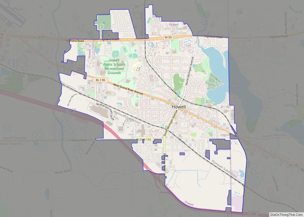
| Seat: | Howell |
| Largest city: | Howell |
| Total Area: | 585 sq mi (1,520 km²) |
| Land Area: | 565 sq mi (1,460 km²) |
| Total Population: | 193,866 |
| Population Density: | 320/sq mi (120/km²) |
| Time zone: | UTC−5 (Eastern) |
| Summer Time Zone (DST): | UTC−4 (EDT) |
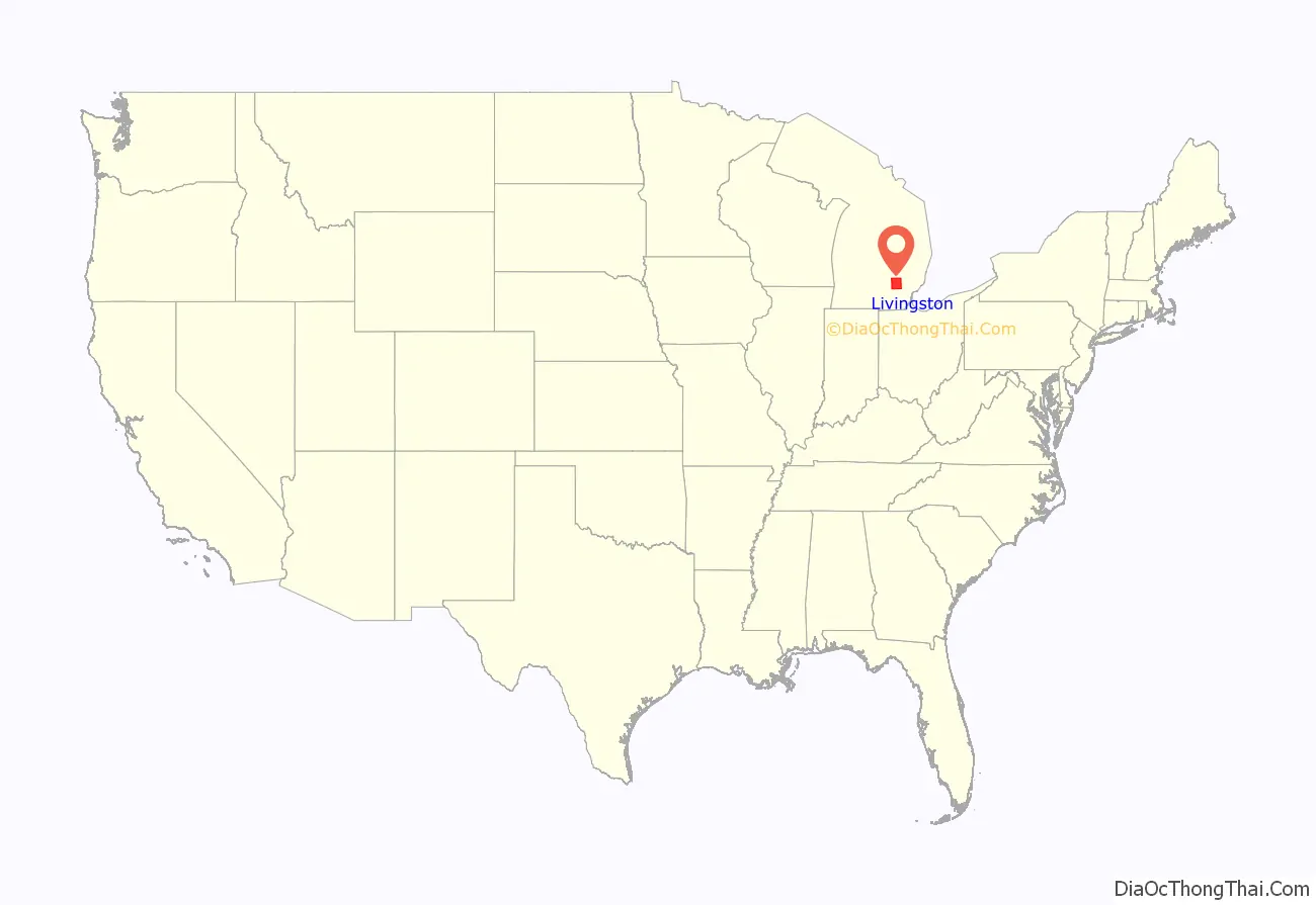
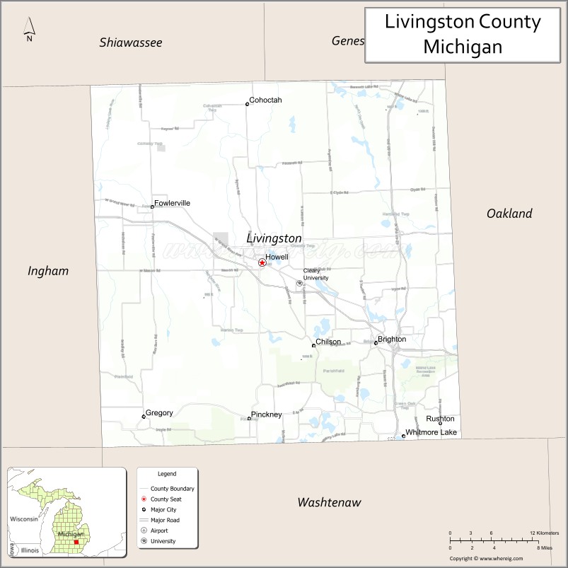
Livingston County location map. Where is Livingston County?
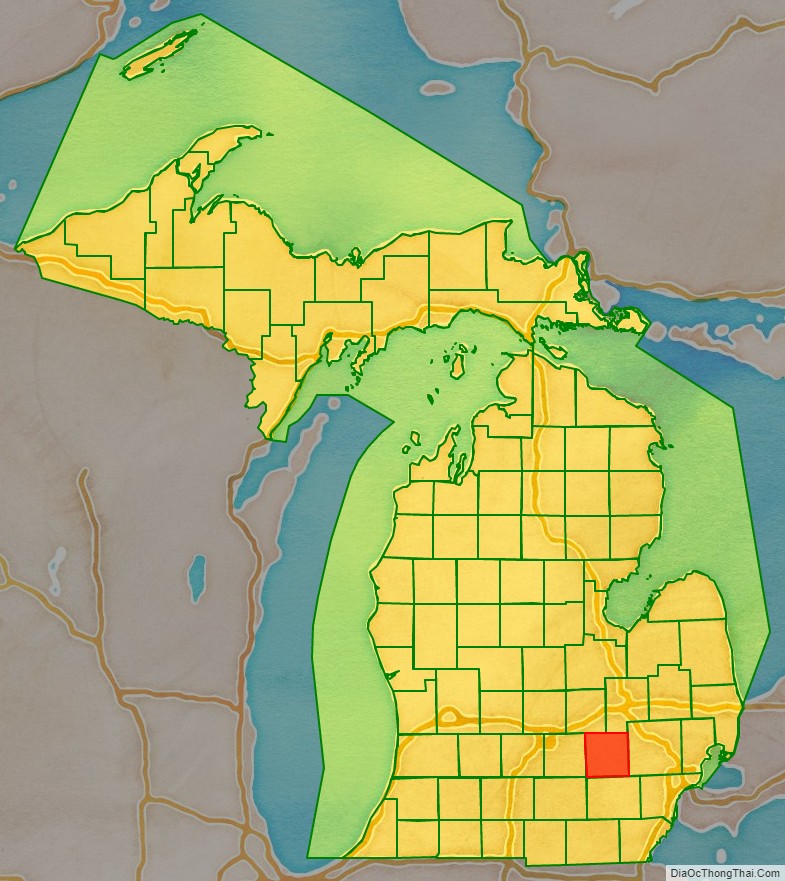
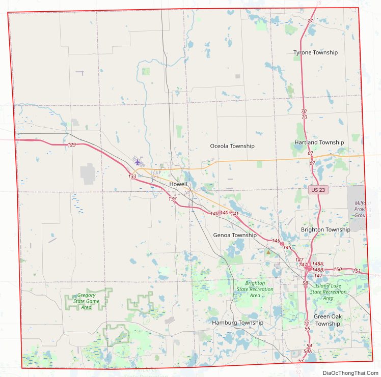
Livingston County Road Map
Geography
According to the US Census Bureau, the county has an area of 585 square miles (1,520 km), of which 565 square miles (1,460 km) is land and 20 square miles (52 km) (3.4%) is water.
Adjacent counties
- Shiawassee County – northwest
- Genesee County – northeast
- Oakland County – east
- Washtenaw County – south
- Jackson County – southwest
- Ingham County – west
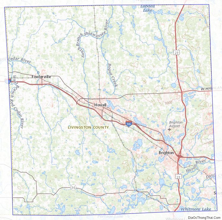
Livingston County Topographic Map
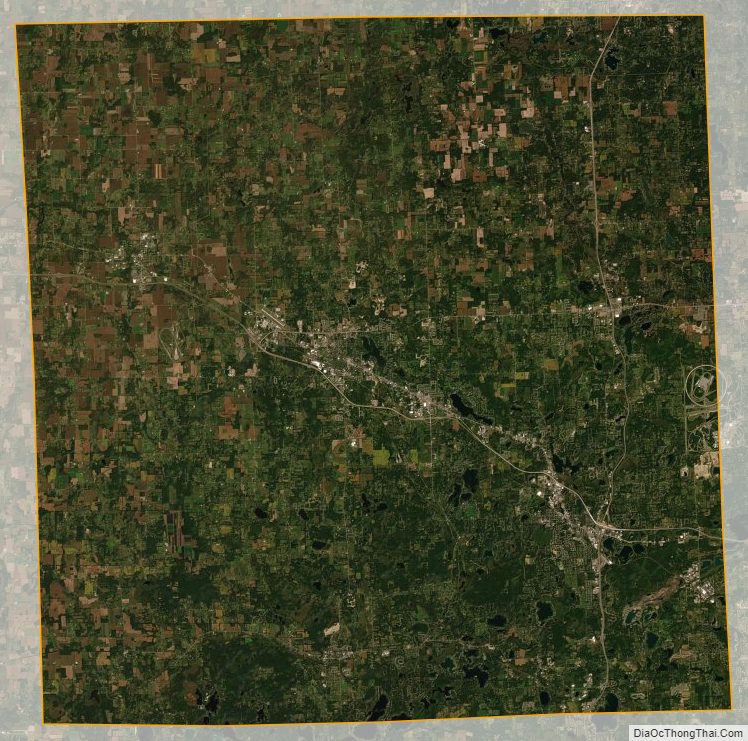
Livingston County Satellite Map
Livingston County Outline Map