East Lansing is a city in the U.S. state of Michigan. Most of the city lies within Ingham County with a smaller portion extending north into Clinton County. At the 2020 Census the population was 47,741. Located directly east of the state capital of Lansing, East Lansing is well-known as the home of Michigan State University. The city is part of the Lansing–East Lansing metropolitan area.
| Name: | East Lansing city |
|---|---|
| LSAD Code: | 25 |
| LSAD Description: | city (suffix) |
| State: | Michigan |
| County: | Clinton County, Ingham County |
| Incorporated: | 1907 |
| Elevation: | 856 ft (261 m) |
| Total Area: | 13.51 sq mi (35.00 km²) |
| Land Area: | 13.43 sq mi (34.79 km²) |
| Water Area: | 0.08 sq mi (0.21 km²) |
| Total Population: | 47,741 |
| Population Density: | 3,554.54/sq mi (1,372.37/km²) |
| Area code: | 517 |
| FIPS code: | 2624120 |
| GNISfeature ID: | 1626207 |
| Website: | www.cityofeastlansing.com |
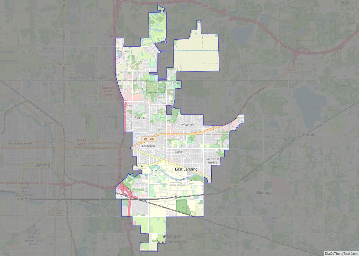
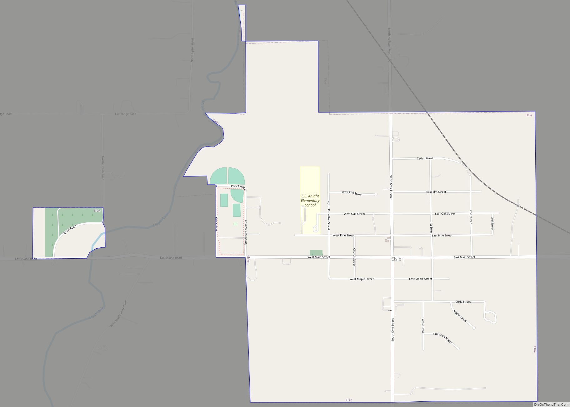
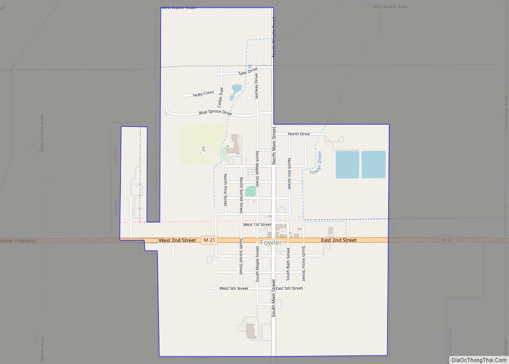
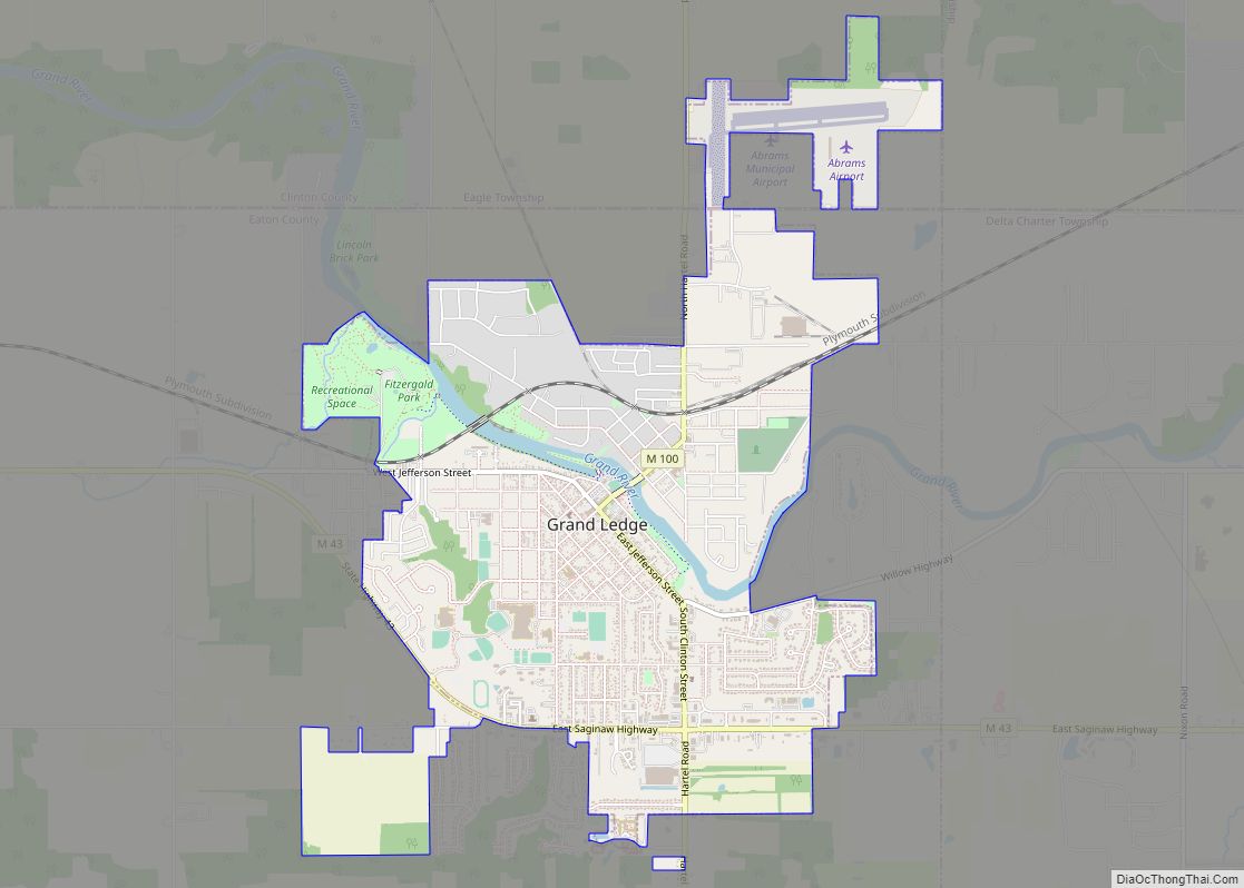
Online Interactive Map
Click on ![]() to view map in "full screen" mode.
to view map in "full screen" mode.
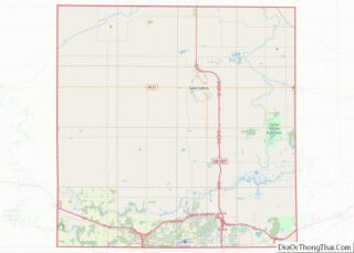
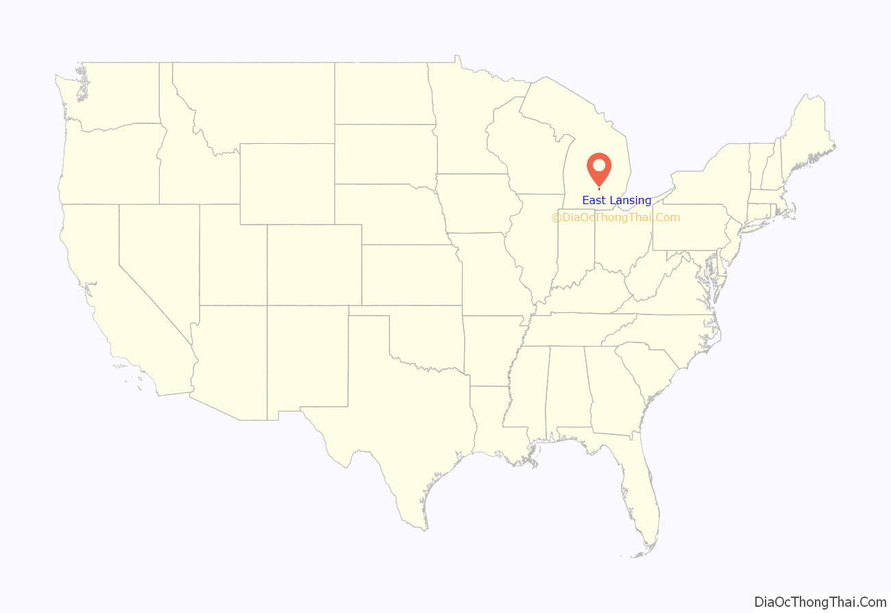
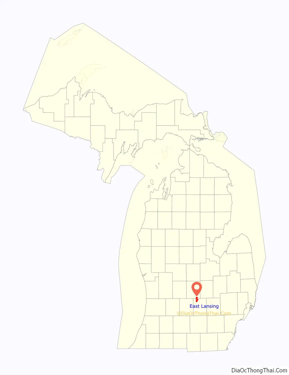
East Lansing location map. Where is East Lansing city?
History
East Lansing is located on land that was an important junction of two major Native American groups: the Potawatomi and the Fox. By 1850, the Lansing and Howell Plank Road Company was established to connect a toll road to the Detroit and Howell Plank Road, improving travel between Detroit and Lansing, which cut right through what is now East Lansing. The toll road was finished in 1853, and included seven toll houses between Lansing and Howell.
Michigan State University was founded in 1855 and established in what is now East Lansing in 1857. For the first four decades, the students and faculty lived almost entirely on the college campus. A few commuted from Lansing, and that number increased when a streetcar line was built in the 1890s, but there were few places to live in the then-rural area surrounding the campus.
That started to change in 1887, when professors William J. Beal and Rolla C. Carpenter created Collegeville, along what is now Harrison Road and Center and Beal Streets, north of Michigan Avenue. Few faculty were attracted to the location, and the first residents were “teamsters and laborers”. In 1898, the College Delta subdivision (including what is now Delta Street) had the support of the college itself, which provided utilities, and several professors built homes there (one of which survives today at 243 W. Grand River Ave.). Other subdivisions followed.
At that time, the post office address was “Agricultural College, Michigan”. A school district encompassing the nascent community was created in 1900. In 1907, incorporation as a city was proposed under the name “College Park”; the legislature approved the charter but changed the name to “East Lansing”. The first seven mayors, starting with Clinton D. Smith in 1907 and Warren Babcock in 1908, were professors or employees of the college.
The city charter in 1907 prohibited the possession, sale, or consumption of alcoholic beverages, and East Lansing was a “dry” city until voters modified the charter provision in 1968. In the 21st Century, downtown East Lansing has enjoyed a construction boom. Multiple city center complexes have resulted in the redevelopment of large parts of the historic downtown area, at a greatly increased population density.
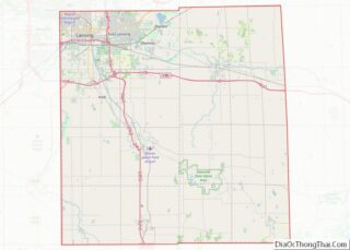
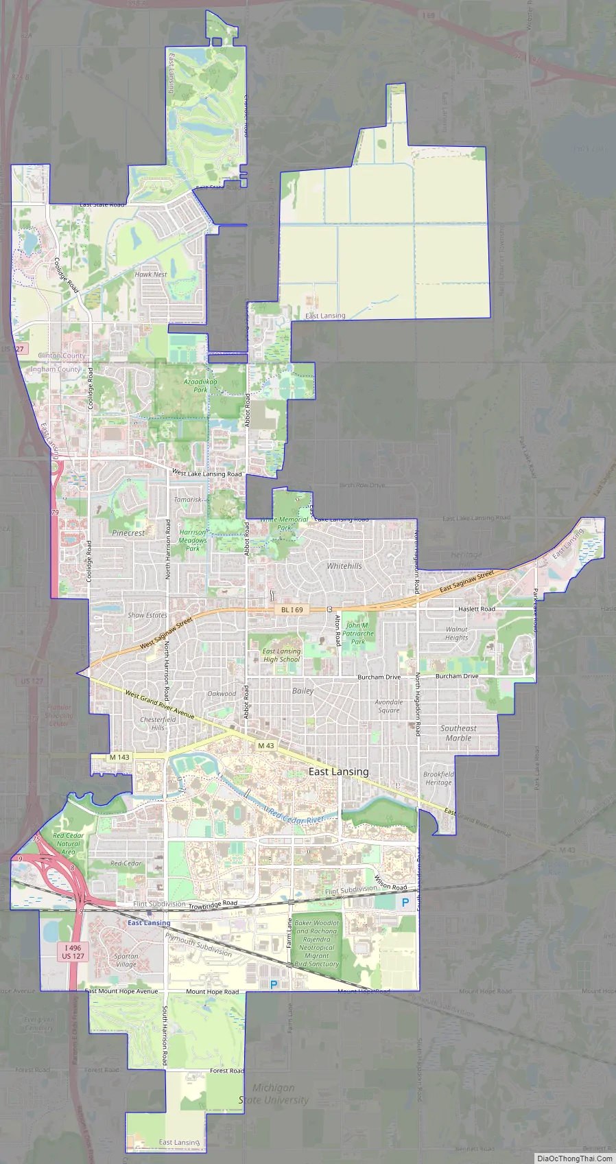
East Lansing Road Map
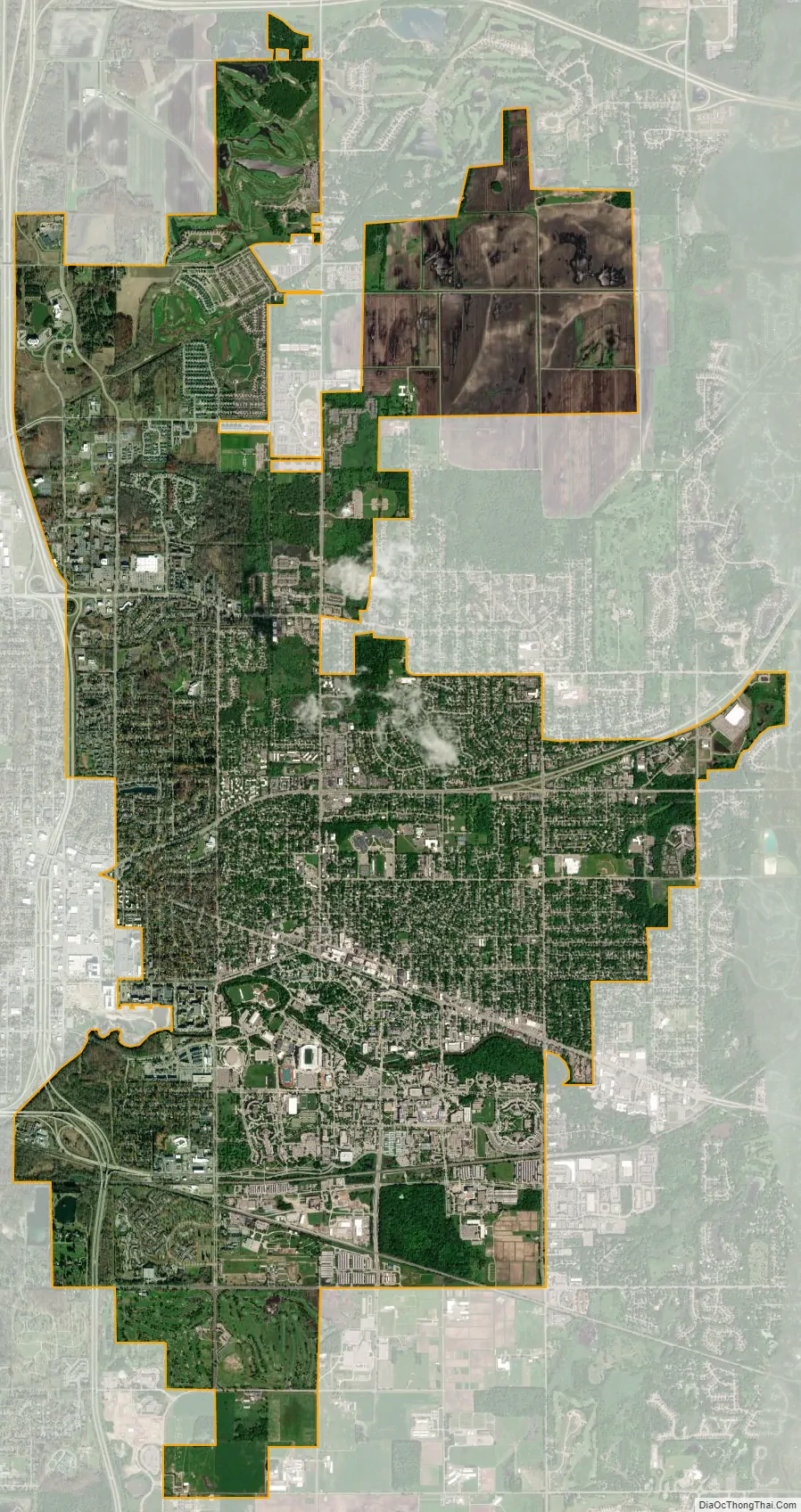
East Lansing city Satellite Map
Geography
According to the United States Census Bureau, the city has a total area of 13.67 square miles (35.41 km), of which 13.59 square miles (35.20 km) is land and 0.08 square miles (0.21 km) is water.
Since 1998, East Lansing has expanded its borders through the use of 425 Agreements. The city is currently in three 425 Agreements with Bath Township, DeWitt Township, and Meridian Township, and has effectively added thousands of acres of land to its border.
- East Lansing and DeWitt Township entered into two 425s in 1998 and 2001, which involved nearly 1,200 acres (4.9 km) of land. The agreement stipulates that East Lansing gains full control of the land after 33 years.
- East Lansing and Bath Township entered into a 425 Agreement in June 2002 involving 1,056 acres (4.27 km) of land. The agreement stipulates that East Lansing gains full control of the land after 100 years.
- East Lansing and Meridian Township entered into a 425 in November 2002 involving 101 acres (0.41 km) of land. The agreement stipulates that the Meridian Township residents get to decide the fate of the land after 100 years.
The city has also made use of annexation of surrounding township lands in recent years. It annexed the 66.5 acres (26.9 ha) of the Four Winds Golf Course in Meridian Township in 2001, and another 6 acres (2.4 ha) of the township in 2006. The city also annexed from DeWitt Township the land that is currently the East Lansing Soccer Complex.
Description
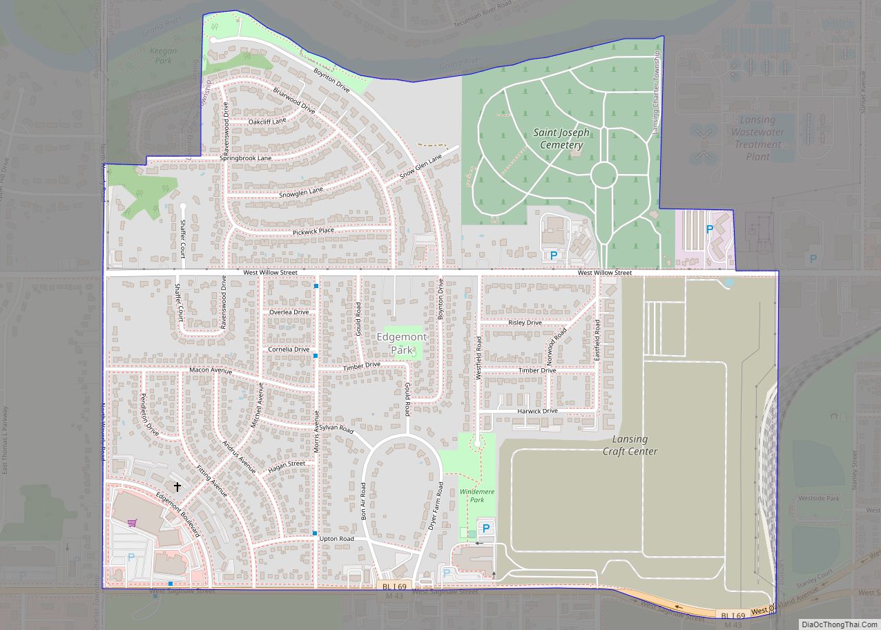
The city’s downtown area is centered around Grand River Avenue, a wide, tree-lined boulevard that evolved out of the 19th-century plank road that connected Lansing to Detroit. Grand River Avenue and Michigan Avenue serve as a dividing line between the Michigan State University campus and the rest of the city. Immediately north of downtown are college town neighborhoods, where students and year-round residents can live close to the city’s downtown and MSU’s campus.
Neighborhoods
East Lansing has more than 25 neighborhoods, many of which have neighborhood associations that sponsor social events, attend to neighborhood issues, and often advocate for neighborhood interests in meetings of the City Council and city commissions.
A section of the city has been designated a Historic District, and a Historic District Commission has been established by the City Council. In addition, many landmark structures in the older neighborhoods have been identified within a Landmark Structures Historic District of the Historic Preservation Code.
See also
Map of Michigan State and its subdivision:- Alcona
- Alger
- Allegan
- Alpena
- Antrim
- Arenac
- Baraga
- Barry
- Bay
- Benzie
- Berrien
- Branch
- Calhoun
- Cass
- Charlevoix
- Cheboygan
- Chippewa
- Clare
- Clinton
- Crawford
- Delta
- Dickinson
- Eaton
- Emmet
- Genesee
- Gladwin
- Gogebic
- Grand Traverse
- Gratiot
- Hillsdale
- Houghton
- Huron
- Ingham
- Ionia
- Iosco
- Iron
- Isabella
- Jackson
- Kalamazoo
- Kalkaska
- Kent
- Keweenaw
- Lake
- Lake Hurron
- Lake Michigan
- Lake St. Clair
- Lake Superior
- Lapeer
- Leelanau
- Lenawee
- Livingston
- Luce
- Mackinac
- Macomb
- Manistee
- Marquette
- Mason
- Mecosta
- Menominee
- Midland
- Missaukee
- Monroe
- Montcalm
- Montmorency
- Muskegon
- Newaygo
- Oakland
- Oceana
- Ogemaw
- Ontonagon
- Osceola
- Oscoda
- Otsego
- Ottawa
- Presque Isle
- Roscommon
- Saginaw
- Saint Clair
- Saint Joseph
- Sanilac
- Schoolcraft
- Shiawassee
- Tuscola
- Van Buren
- Washtenaw
- Wayne
- Wexford
- Alabama
- Alaska
- Arizona
- Arkansas
- California
- Colorado
- Connecticut
- Delaware
- District of Columbia
- Florida
- Georgia
- Hawaii
- Idaho
- Illinois
- Indiana
- Iowa
- Kansas
- Kentucky
- Louisiana
- Maine
- Maryland
- Massachusetts
- Michigan
- Minnesota
- Mississippi
- Missouri
- Montana
- Nebraska
- Nevada
- New Hampshire
- New Jersey
- New Mexico
- New York
- North Carolina
- North Dakota
- Ohio
- Oklahoma
- Oregon
- Pennsylvania
- Rhode Island
- South Carolina
- South Dakota
- Tennessee
- Texas
- Utah
- Vermont
- Virginia
- Washington
- West Virginia
- Wisconsin
- Wyoming