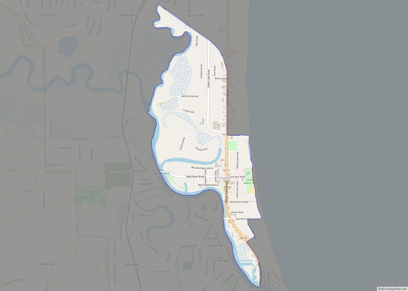
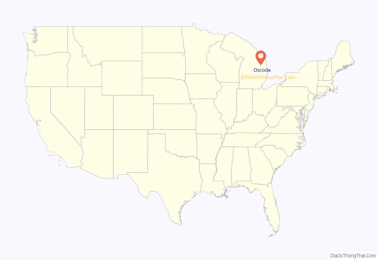
Oscoda (/ɒˈskoʊdə/ ah-SKOH-də) is an unincorporated community and census-designated place (CDP) in Iosco County in the U.S. state of Michigan. The CDP had a population of 916 at the 2020 census. The community is located within Au Sable Township and Oscoda Township at the mouth of the Au Sable River along Lake Huron.
| Name: | Oscoda CDP |
|---|---|
| LSAD Code: | 57 |
| LSAD Description: | CDP (suffix) |
| State: | Michigan |
| County: | Iosco County |
| Incorporated: | 1885 |
| Elevation: | 590 ft (180 m) |
| Total Area: | 0.95 sq mi (2.46 km²) |
| Land Area: | 0.87 sq mi (2.25 km²) |
| Water Area: | 0.08 sq mi (0.21 km²) |
| Total Population: | 916 |
| Population Density: | 1,052.87/sq mi (406.30/km²) |
| Area code: | 989 |
| FIPS code: | 2661320 |
| GNISfeature ID: | 634132 |
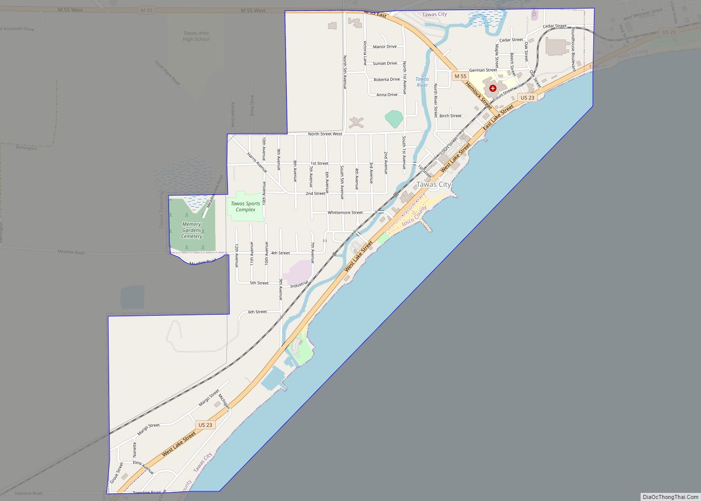
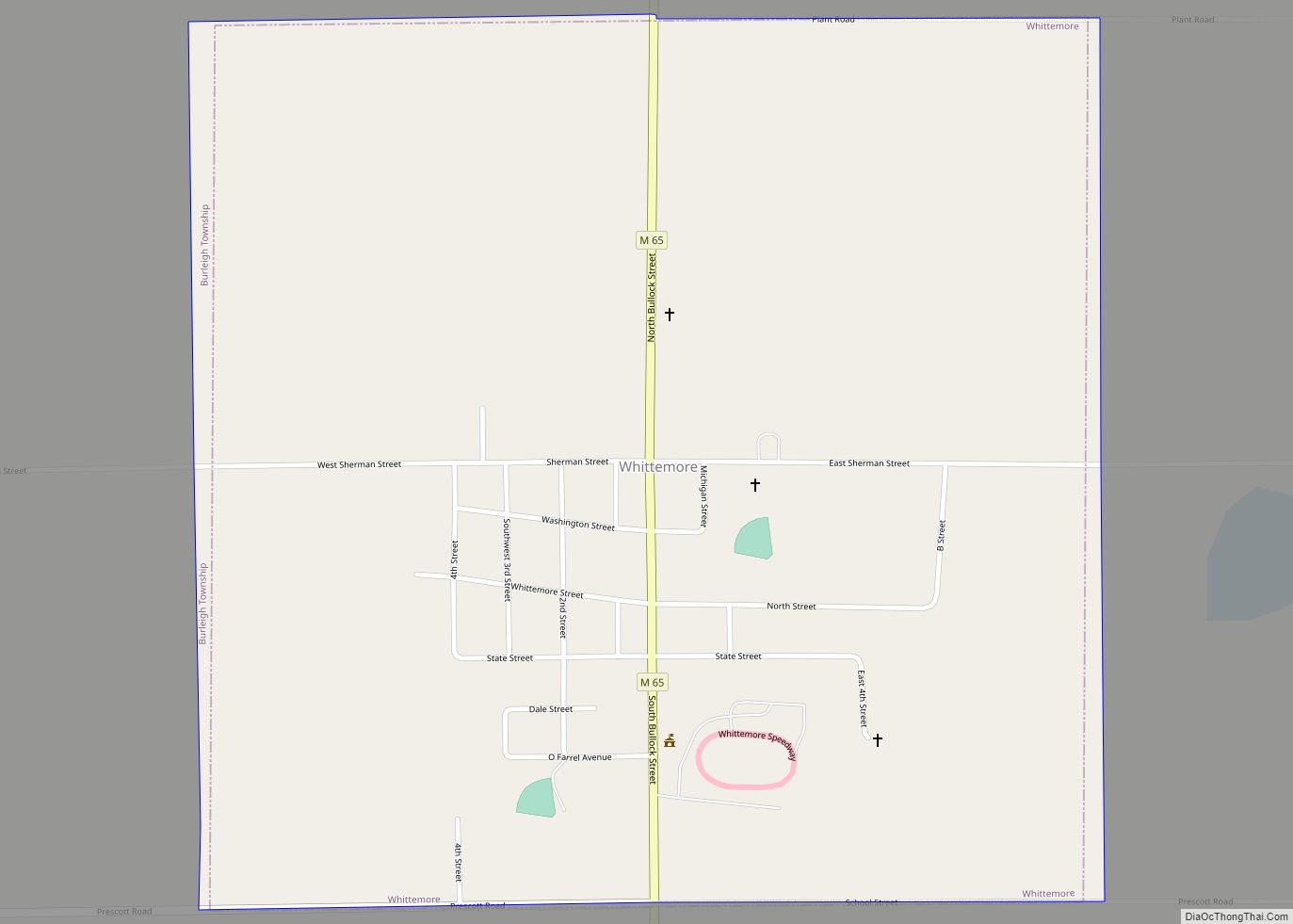
Online Interactive Map
Click on ![]() to view map in "full screen" mode.
to view map in "full screen" mode.
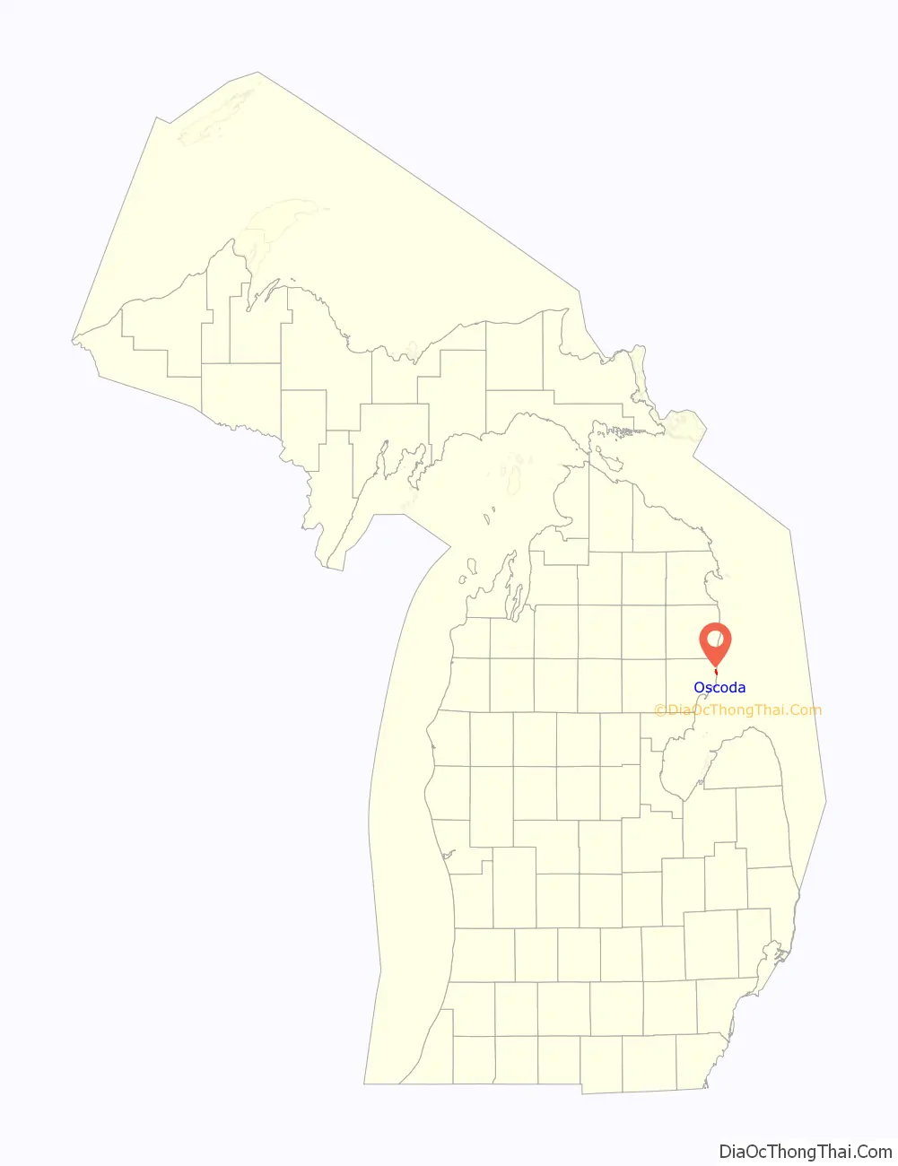
Oscoda location map. Where is Oscoda CDP?
History
The area was first settled as early as 1867 when the firm of Smith, Kelley, & Dwight purchased land here and platted the community. A post office under the name Au Sable served the area until the Oscoda post office was established on July 1, 1875. The name Oscoda is believed to come from Henry Schoolcraft, who used a shortened form of ossin and muscoda, which means a pebbly prairie.
The Lumberman’s Monument is located nearby and was dedicated in 1932 in honor of the early lumberjacks that first populated the area. The state of Michigan designated Oscoda as the official home of Paul Bunyan due to early documented publications in the Oscoda Press on August 10, 1906, by James MacGillivray. The article was later revised and published in The Detroit News in 1910.
Wurtsmith Air Force Base was a United States Air Force commissioned in 1923 in Oscoda. During the Cold War, it was one of the state’s three Strategic Air Command bases that housed Boeing B-52 Stratofortress jets. The air base was decommissioned in 1993. The area is now an ongoing Superfund site due to extensive groundwater contamination. Parts of the defunct air base now serve as the Oscoda–Wurtsmith Airport with no future plans for the rest of the facility.
Oscoda was featured in the 2002 documentary film Bowling for Columbine, in which director Michael Moore interviewed two young residents. Eric Harris, one of the perpetrators of the Columbine High School massacre, spent some of his early years in Oscoda while his father served in the U.S. Air Force.
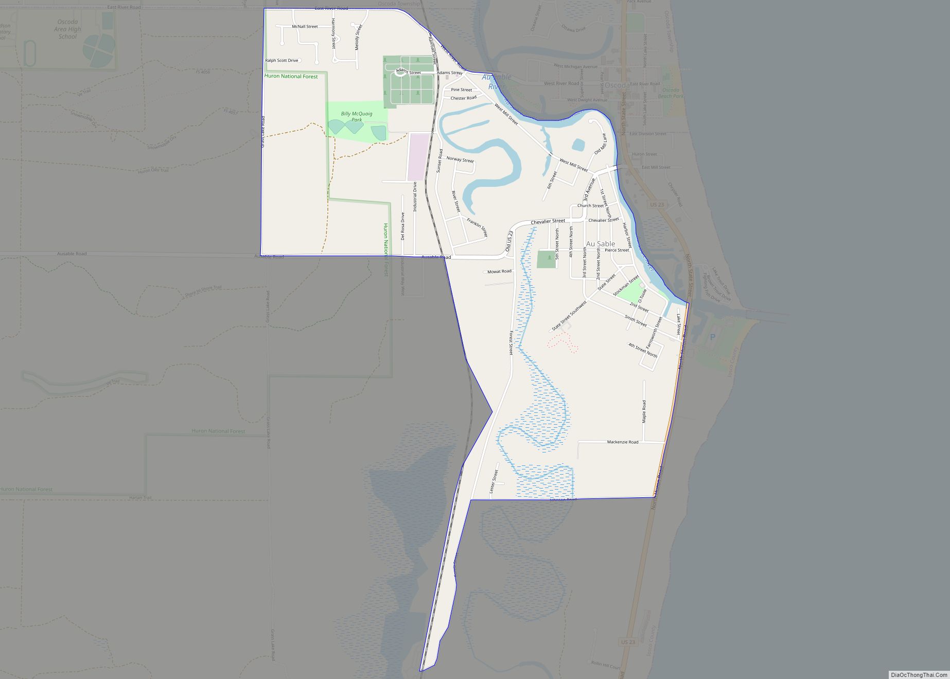
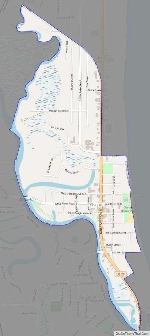
Oscoda Road Map
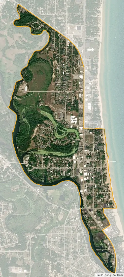
Oscoda city Satellite Map
Geography
According to the U.S. Census Bureau, the CDP has a total area of 0.95 square miles (2.46 km), of which 0.87 square miles (2.25 km) is land and 0.08 square miles (0.21 km) (8.42%) is water.
The community is located on the northside of the Au Sable River at its river mouth at Lake Huron. The community of Au Sable is on the southside of the river, and the surrounding areas are part of the Huron National Forest. Au Sable is served by Oscoda Area Schools.
The Shore to Shore Riding & Hiking Trail, which is a 220-mile-long (350 km) network of trails, has its eastern terminus in Oscoda.
Climate
This climatic region is typified by large seasonal temperature differences, with warm to hot (and often humid) summers and cold (sometimes severely cold) winters. According to the Köppen Climate Classification system, Oscoda has a humid continental climate, abbreviated “Dfb” on climate maps.
See also
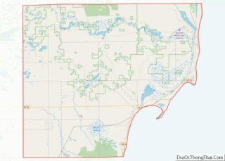
Map of Michigan State and its subdivision:- Alcona
- Alger
- Allegan
- Alpena
- Antrim
- Arenac
- Baraga
- Barry
- Bay
- Benzie
- Berrien
- Branch
- Calhoun
- Cass
- Charlevoix
- Cheboygan
- Chippewa
- Clare
- Clinton
- Crawford
- Delta
- Dickinson
- Eaton
- Emmet
- Genesee
- Gladwin
- Gogebic
- Grand Traverse
- Gratiot
- Hillsdale
- Houghton
- Huron
- Ingham
- Ionia
- Iosco
- Iron
- Isabella
- Jackson
- Kalamazoo
- Kalkaska
- Kent
- Keweenaw
- Lake
- Lake Hurron
- Lake Michigan
- Lake St. Clair
- Lake Superior
- Lapeer
- Leelanau
- Lenawee
- Livingston
- Luce
- Mackinac
- Macomb
- Manistee
- Marquette
- Mason
- Mecosta
- Menominee
- Midland
- Missaukee
- Monroe
- Montcalm
- Montmorency
- Muskegon
- Newaygo
- Oakland
- Oceana
- Ogemaw
- Ontonagon
- Osceola
- Oscoda
- Otsego
- Ottawa
- Presque Isle
- Roscommon
- Saginaw
- Saint Clair
- Saint Joseph
- Sanilac
- Schoolcraft
- Shiawassee
- Tuscola
- Van Buren
- Washtenaw
- Wayne
- Wexford
- Alabama
- Alaska
- Arizona
- Arkansas
- California
- Colorado
- Connecticut
- Delaware
- District of Columbia
- Florida
- Georgia
- Hawaii
- Idaho
- Illinois
- Indiana
- Iowa
- Kansas
- Kentucky
- Louisiana
- Maine
- Maryland
- Massachusetts
- Michigan
- Minnesota
- Mississippi
- Missouri
- Montana
- Nebraska
- Nevada
- New Hampshire
- New Jersey
- New Mexico
- New York
- North Carolina
- North Dakota
- Ohio
- Oklahoma
- Oregon
- Pennsylvania
- Rhode Island
- South Carolina
- South Dakota
- Tennessee
- Texas
- Utah
- Vermont
- Virginia
- Washington
- West Virginia
- Wisconsin
- Wyoming