East Tawas is a city in Iosco County in the U.S. state of Michigan. The population was 2,663 at the 2020 census.
| Name: | East Tawas city |
|---|---|
| LSAD Code: | 25 |
| LSAD Description: | city (suffix) |
| State: | Michigan |
| County: | Iosco County |
| Incorporated: | 1887 (village) 1895 (city) |
| Elevation: | 584 ft (178 m) |
| Total Area: | 3.27 sq mi (8.47 km²) |
| Land Area: | 2.81 sq mi (7.28 km²) |
| Water Area: | 0.46 sq mi (1.19 km²) |
| Total Population: | 2,663 |
| Population Density: | 946.68/sq mi (365.50/km²) |
| Area code: | 989 |
| FIPS code: | 2624420 |
| GNISfeature ID: | 0625264 |
Online Interactive Map
Click on ![]() to view map in "full screen" mode.
to view map in "full screen" mode.
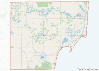
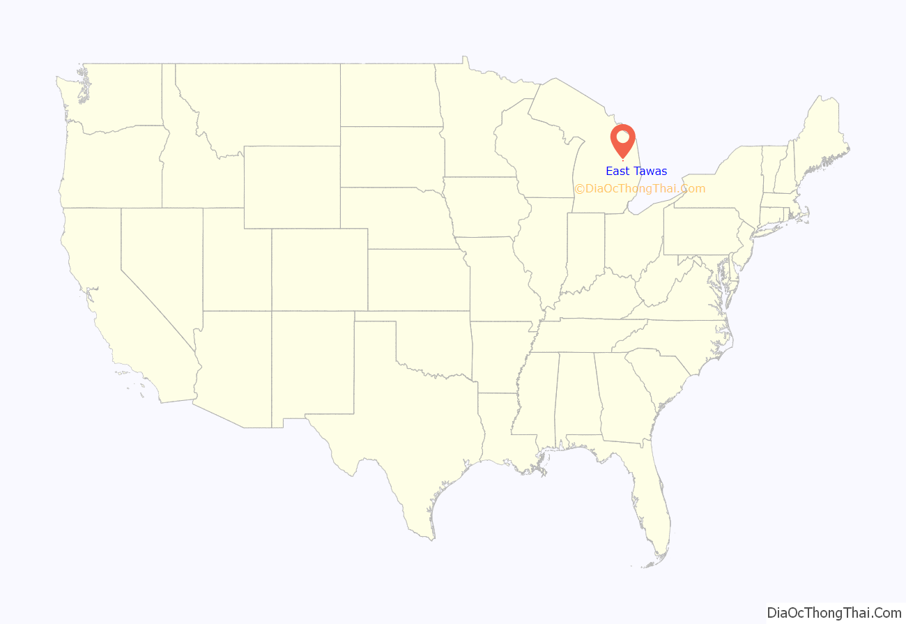
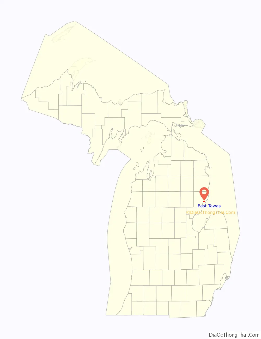
East Tawas location map. Where is East Tawas city?
History
The western New York firm Smith, Van Valkenburg, & Company bought land in the area in order to exploit the area’s lumber resources. George Smith settled in the area in 1862 and founded the community. The East Tawas post office opened on April 15, 1867. A predecessor of the Detroit and Mackinac Railway built a station here, and the community incorporated as a village in 1887 and later as a city in 1895. Tawas Beach was established nearby in 1903 along the railway line in Baldwin Township. A post office opened here on June 12, 1903, until the community was annexed into the city of East Tawas in 1922.
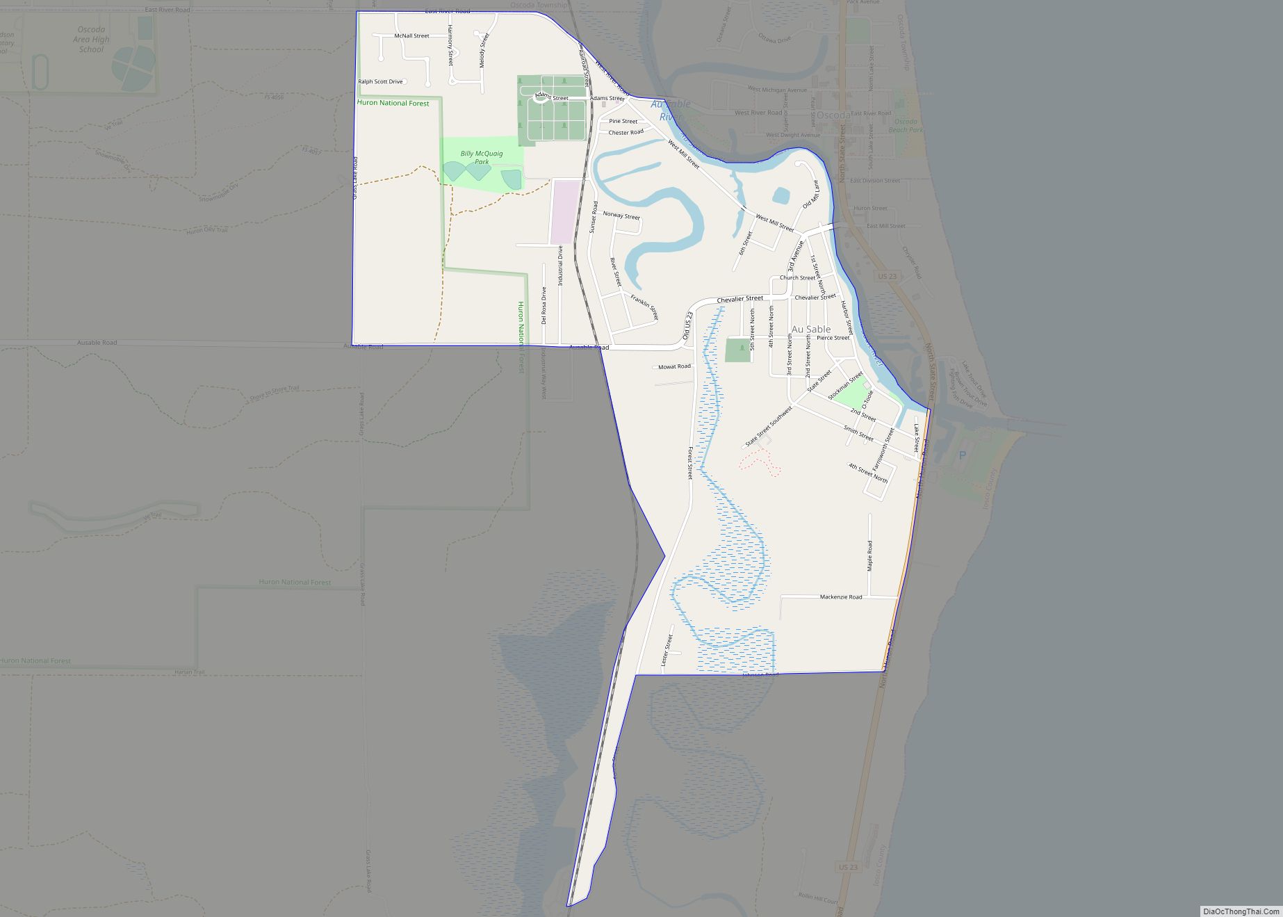
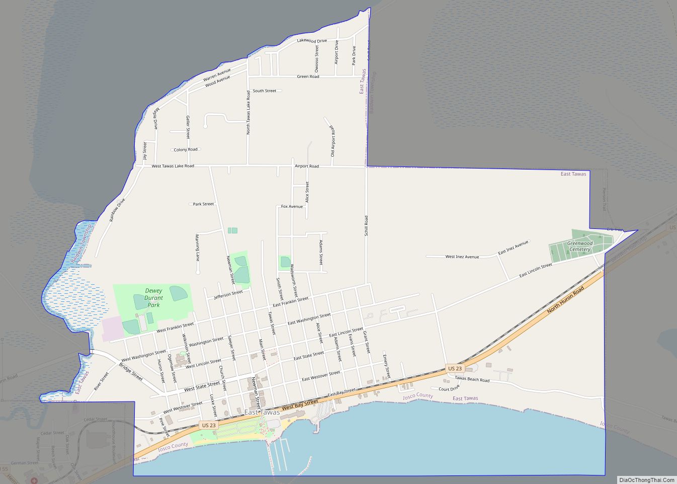
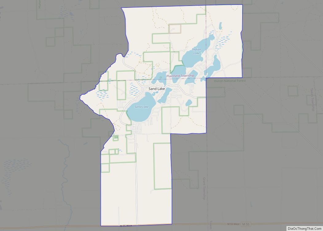
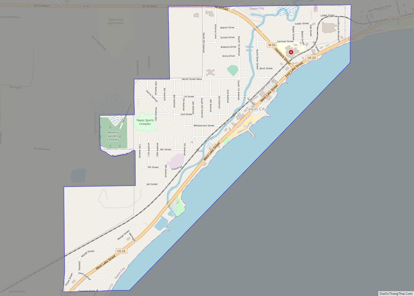
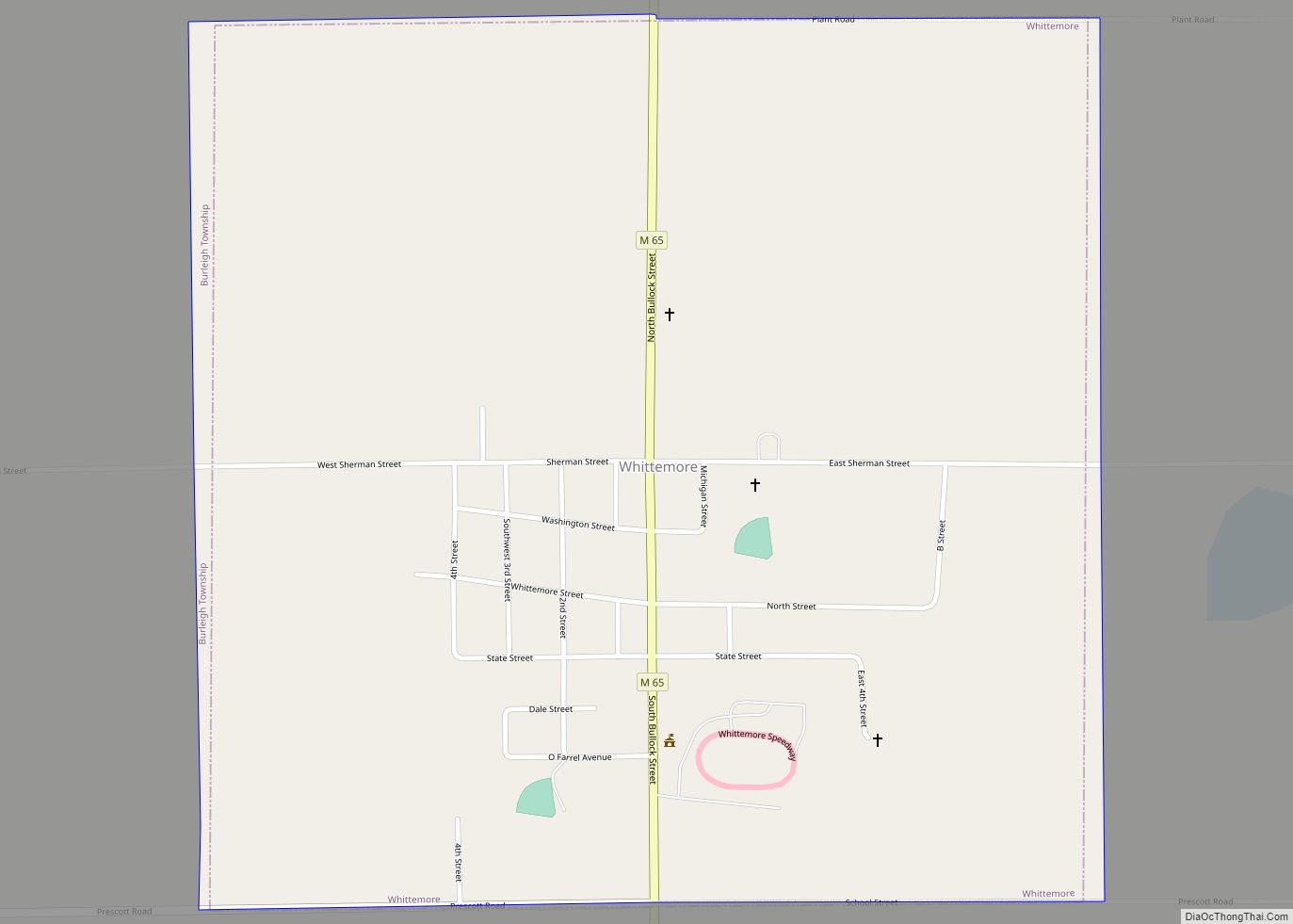
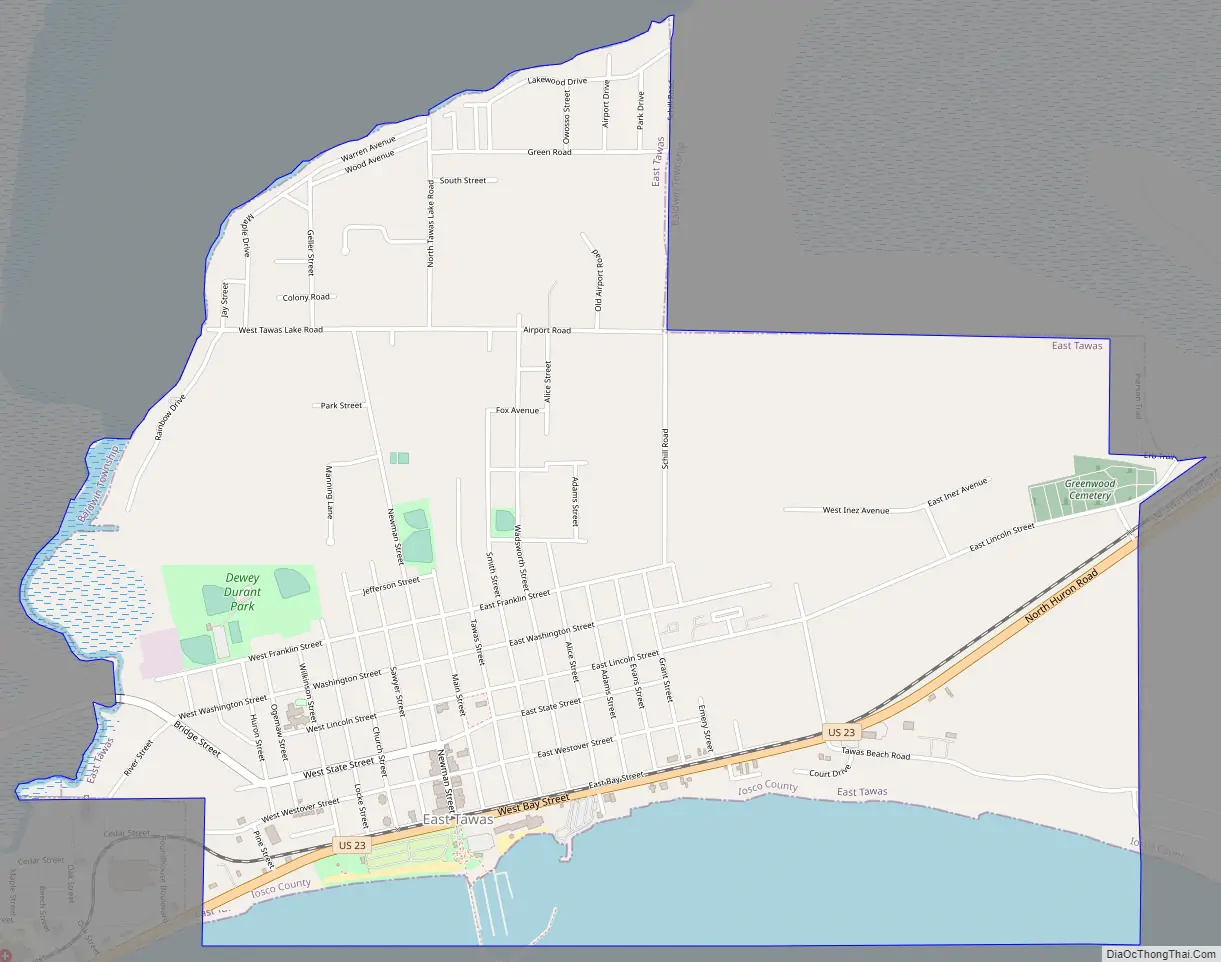
East Tawas Road Map
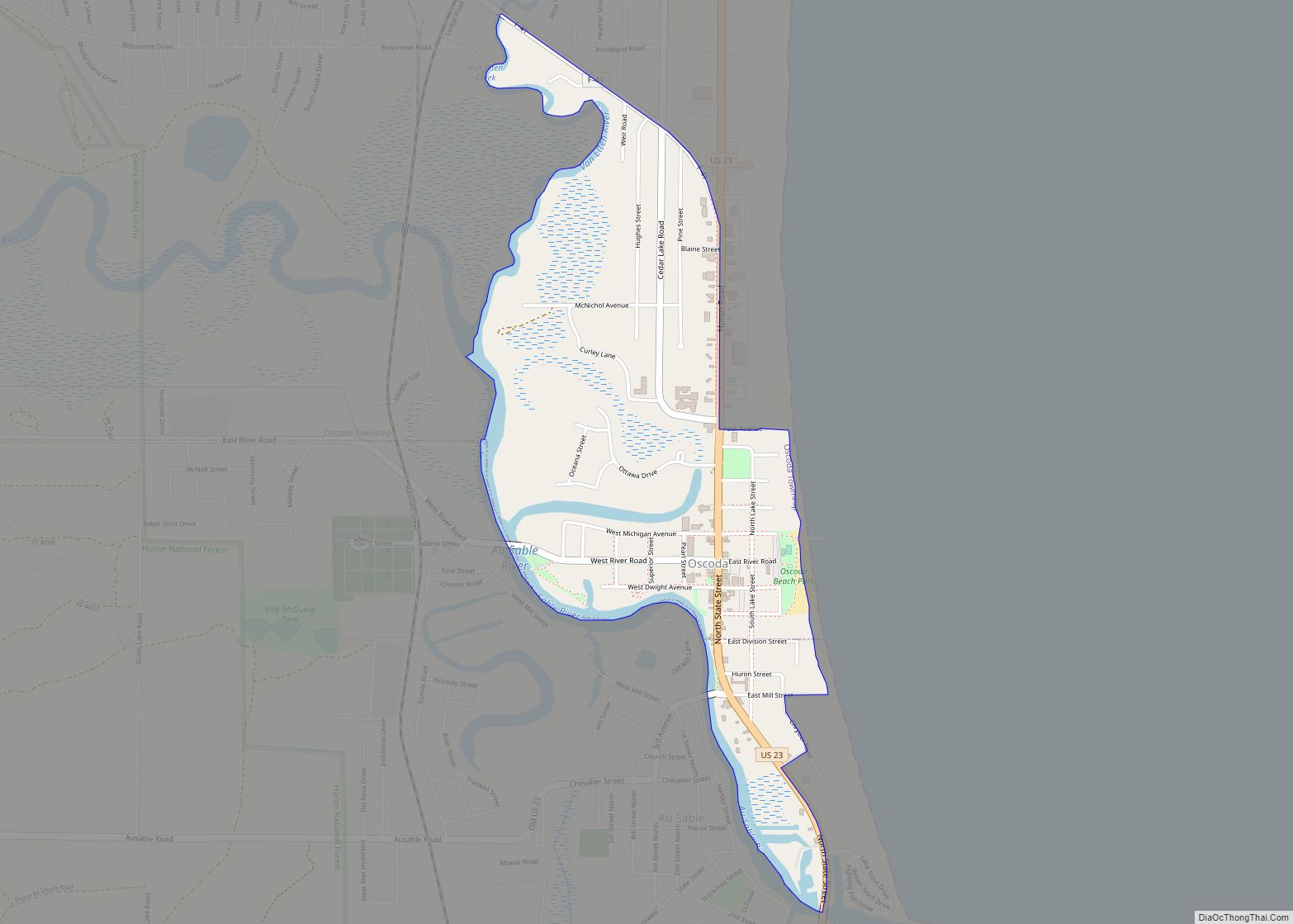
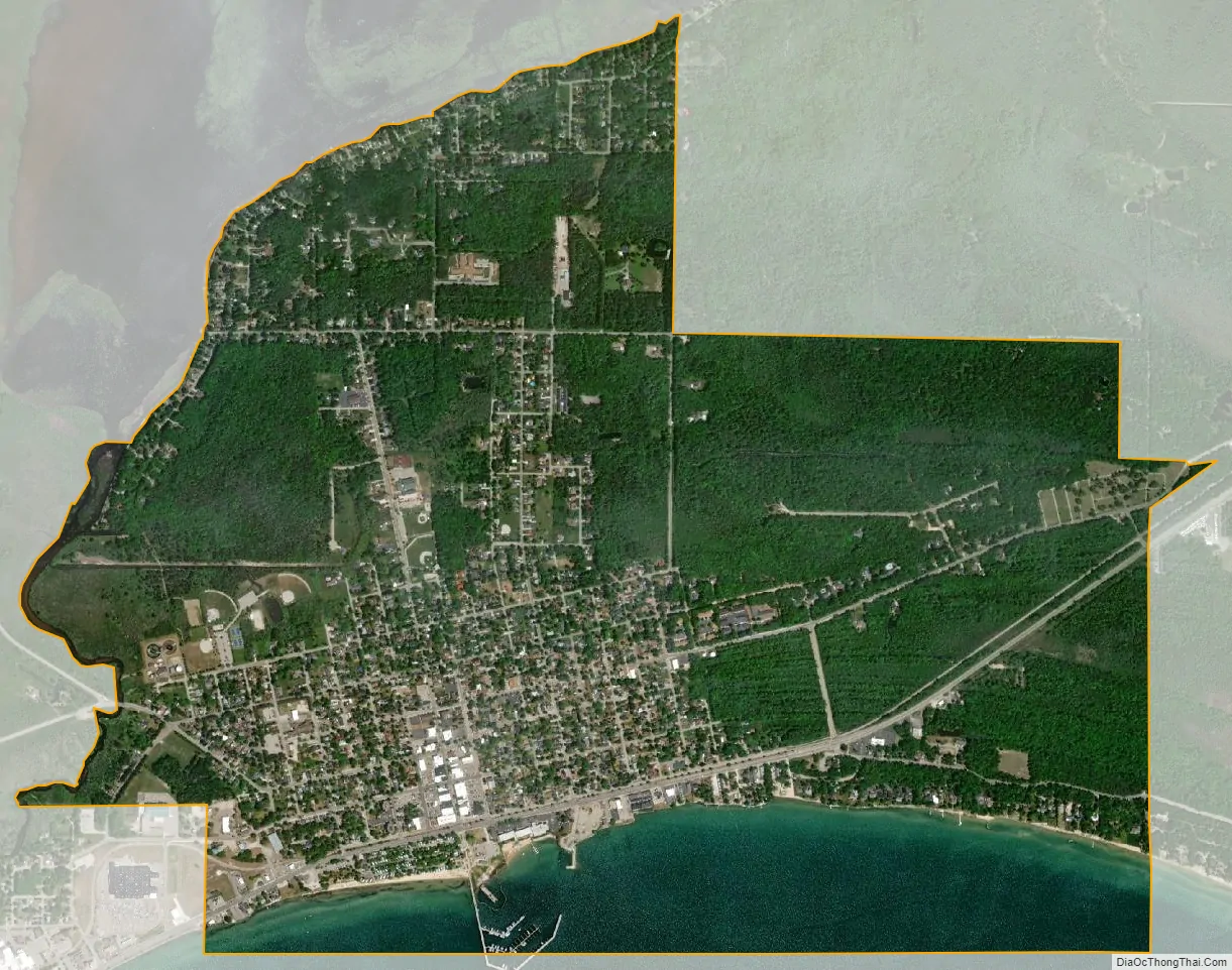
East Tawas city Satellite Map
Geography
According to the U.S. Census Bureau, the city has a total area of 3.27 square miles (8.47 km), of which 2.81 square miles (7.28 km) is land and 0.46 square miles (1.19 km) (14.07) is water.
Tawas Point State Park is located near East Tawas in Baldwin Township.
Climate
Major highways
- US 23 runs through the city.
See also
Map of Michigan State and its subdivision:- Alcona
- Alger
- Allegan
- Alpena
- Antrim
- Arenac
- Baraga
- Barry
- Bay
- Benzie
- Berrien
- Branch
- Calhoun
- Cass
- Charlevoix
- Cheboygan
- Chippewa
- Clare
- Clinton
- Crawford
- Delta
- Dickinson
- Eaton
- Emmet
- Genesee
- Gladwin
- Gogebic
- Grand Traverse
- Gratiot
- Hillsdale
- Houghton
- Huron
- Ingham
- Ionia
- Iosco
- Iron
- Isabella
- Jackson
- Kalamazoo
- Kalkaska
- Kent
- Keweenaw
- Lake
- Lake Hurron
- Lake Michigan
- Lake St. Clair
- Lake Superior
- Lapeer
- Leelanau
- Lenawee
- Livingston
- Luce
- Mackinac
- Macomb
- Manistee
- Marquette
- Mason
- Mecosta
- Menominee
- Midland
- Missaukee
- Monroe
- Montcalm
- Montmorency
- Muskegon
- Newaygo
- Oakland
- Oceana
- Ogemaw
- Ontonagon
- Osceola
- Oscoda
- Otsego
- Ottawa
- Presque Isle
- Roscommon
- Saginaw
- Saint Clair
- Saint Joseph
- Sanilac
- Schoolcraft
- Shiawassee
- Tuscola
- Van Buren
- Washtenaw
- Wayne
- Wexford
- Alabama
- Alaska
- Arizona
- Arkansas
- California
- Colorado
- Connecticut
- Delaware
- District of Columbia
- Florida
- Georgia
- Hawaii
- Idaho
- Illinois
- Indiana
- Iowa
- Kansas
- Kentucky
- Louisiana
- Maine
- Maryland
- Massachusetts
- Michigan
- Minnesota
- Mississippi
- Missouri
- Montana
- Nebraska
- Nevada
- New Hampshire
- New Jersey
- New Mexico
- New York
- North Carolina
- North Dakota
- Ohio
- Oklahoma
- Oregon
- Pennsylvania
- Rhode Island
- South Carolina
- South Dakota
- Tennessee
- Texas
- Utah
- Vermont
- Virginia
- Washington
- West Virginia
- Wisconsin
- Wyoming