Au Sable (/ɔː ˈsɑːbəl/ aw SAH-bəl) is an unincorporated community and census-designated place (CDP) in the U.S. state of Michigan. The population of the CDP was 1,453 at the 2020 census. The community is located within Au Sable Township at the mouth of the Au Sable River along Lake Huron.
| Name: | Au Sable CDP |
|---|---|
| LSAD Code: | 57 |
| LSAD Description: | CDP (suffix) |
| State: | Michigan |
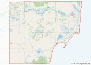
| County: | Iosco County |
| Incorporated: | 1872 (village) 1889 (city) |
| Elevation: | 592 ft (180 m) |
| Total Area: | 2.13 sq mi (5.52 km²) |
| Land Area: | 2.10 sq mi (5.44 km²) |
| Water Area: | 0.03 sq mi (0.08 km²) |
| Total Population: | 1,453 |
| Population Density: | 692.89/sq mi (267.50/km²) |
| Area code: | 989 |
| FIPS code: | 2604280 |
| GNISfeature ID: | 620323 |
Online Interactive Map
Click on ![]() to view map in "full screen" mode.
to view map in "full screen" mode.
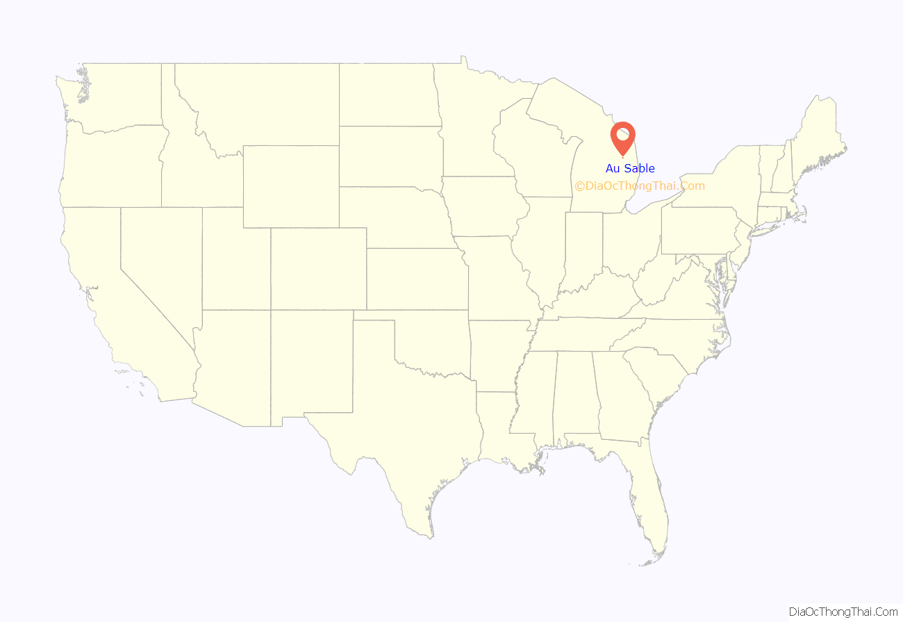
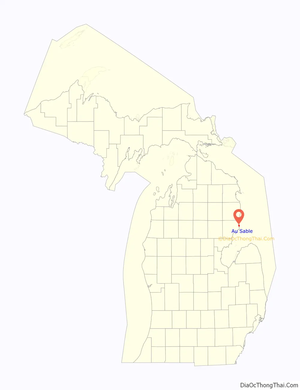
Au Sable location map. Where is Au Sable CDP?
History
Au Sable was first settled in 1848 when Curtis Emerson and James Eldridge purchased land in the area. The community was platted the next year. A post office in Au Sable began operating on September 23, 1856 and was named for its location along the Au Sable River. The community was replatted in 1867 and incorporated as a village in 1872. Au Sable was the largest community in the county and incorporated as a city in 1889.
At the 1890 census, the new city recorded a population of 4,328. Most of the city was destroyed by forest fires in 1911, and the post office closed on December 15, 1912. The city last recorded only 61 residents at the 1930 census. The city surrendered its charter in 1931 and dissolved into an unincorporated community within Au Sable Township.
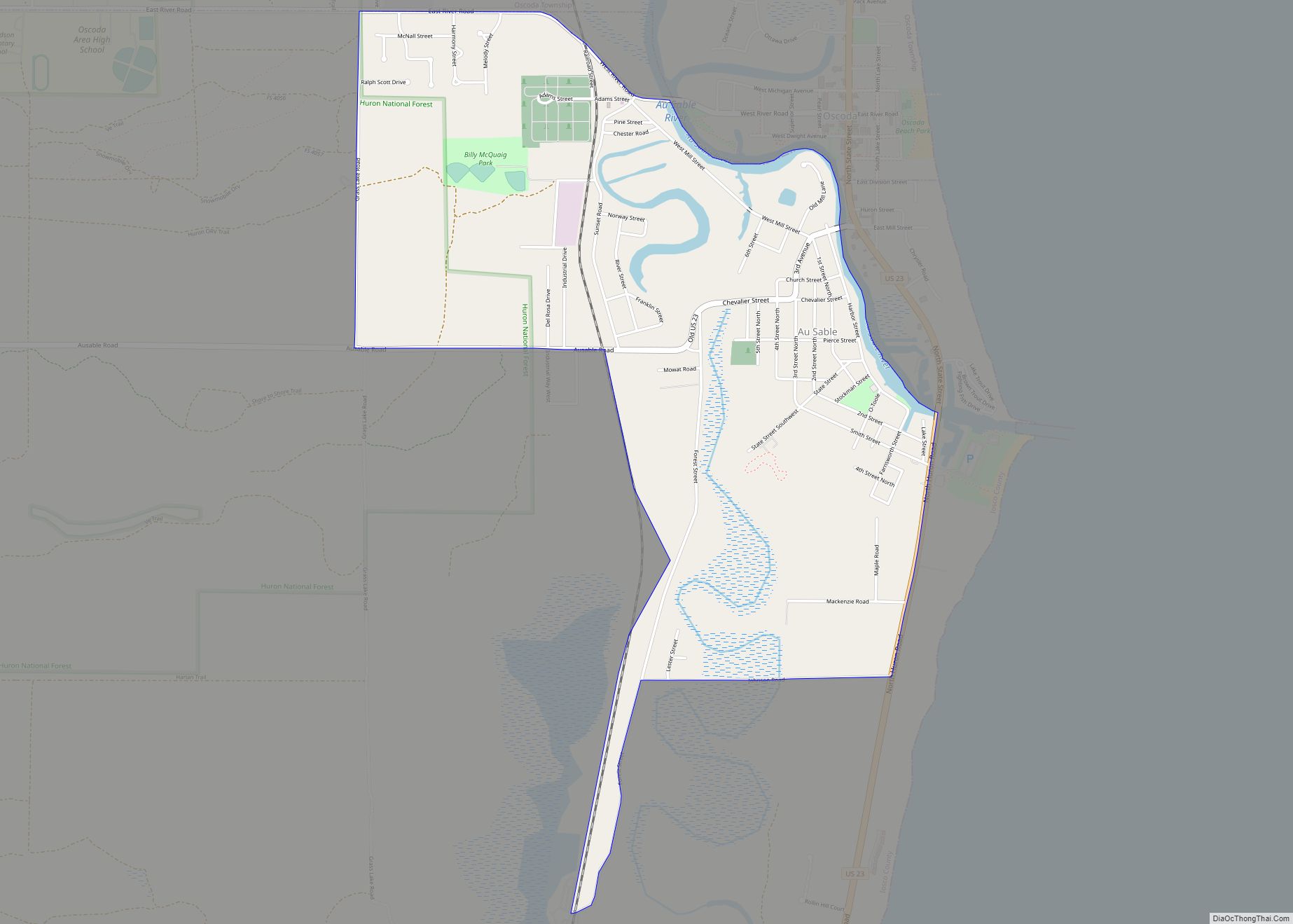
Au Sable Road Map
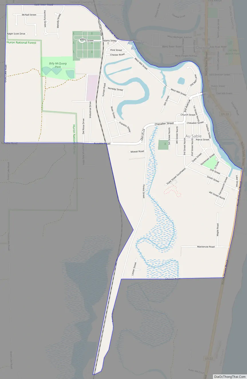
Au Sable city Satellite Map

Geography
According to the U.S. Census Bureau, the CDP has a total area of 2.13 square miles (5.52 km), of which 2.10 square miles (5.44 km) is land and 0.03 square miles (0.08 km) (1.41%) is water.
The community is located on the southside of the Au Sable River at its river mouth at Lake Huron. The community of Oscoda is on the northside of the river. Au Sable is served by Oscoda Area Schools.
Major highways
- US 23 runs south–north along the eastern edge of the community near Lake Huron.
See also
Map of Michigan State and its subdivision:- Alcona
- Alger
- Allegan
- Alpena
- Antrim
- Arenac
- Baraga
- Barry
- Bay
- Benzie
- Berrien
- Branch
- Calhoun
- Cass
- Charlevoix
- Cheboygan
- Chippewa
- Clare
- Clinton
- Crawford
- Delta
- Dickinson
- Eaton
- Emmet
- Genesee
- Gladwin
- Gogebic
- Grand Traverse
- Gratiot
- Hillsdale
- Houghton
- Huron
- Ingham
- Ionia
- Iosco
- Iron
- Isabella
- Jackson
- Kalamazoo
- Kalkaska
- Kent
- Keweenaw
- Lake
- Lake Hurron
- Lake Michigan
- Lake St. Clair
- Lake Superior
- Lapeer
- Leelanau
- Lenawee
- Livingston
- Luce
- Mackinac
- Macomb
- Manistee
- Marquette
- Mason
- Mecosta
- Menominee
- Midland
- Missaukee
- Monroe
- Montcalm
- Montmorency
- Muskegon
- Newaygo
- Oakland
- Oceana
- Ogemaw
- Ontonagon
- Osceola
- Oscoda
- Otsego
- Ottawa
- Presque Isle
- Roscommon
- Saginaw
- Saint Clair
- Saint Joseph
- Sanilac
- Schoolcraft
- Shiawassee
- Tuscola
- Van Buren
- Washtenaw
- Wayne
- Wexford
- Alabama
- Alaska
- Arizona
- Arkansas
- California
- Colorado
- Connecticut
- Delaware
- District of Columbia
- Florida
- Georgia
- Hawaii
- Idaho
- Illinois
- Indiana
- Iowa
- Kansas
- Kentucky
- Louisiana
- Maine
- Maryland
- Massachusetts
- Michigan
- Minnesota
- Mississippi
- Missouri
- Montana
- Nebraska
- Nevada
- New Hampshire
- New Jersey
- New Mexico
- New York
- North Carolina
- North Dakota
- Ohio
- Oklahoma
- Oregon
- Pennsylvania
- Rhode Island
- South Carolina
- South Dakota
- Tennessee
- Texas
- Utah
- Vermont
- Virginia
- Washington
- West Virginia
- Wisconsin
- Wyoming