Tawas City is a city in and county seat of Iosco County in the U.S. state of Michigan. The population was 1,834 at the 2020 census. The city is mostly surrounded by Tawas Township, but the two area administered automously.
| Name: | Tawas City city |
|---|---|
| LSAD Code: | 25 |
| LSAD Description: | city (suffix) |
| State: | Michigan |
| County: | Iosco County |
| Incorporated: | 1885 (village) 1895 (city) |
| Elevation: | 591 ft (180 m) |
| Total Area: | 2.13 sq mi (5.51 km²) |
| Land Area: | 1.70 sq mi (4.40 km²) |
| Water Area: | 0.43 sq mi (1.11 km²) |
| Total Population: | 1,834 |
| Population Density: | 1,079.46/sq mi (416.71/km²) |
| Area code: | 989 |
| FIPS code: | 2678140 |
| GNISfeature ID: | 1614605 |
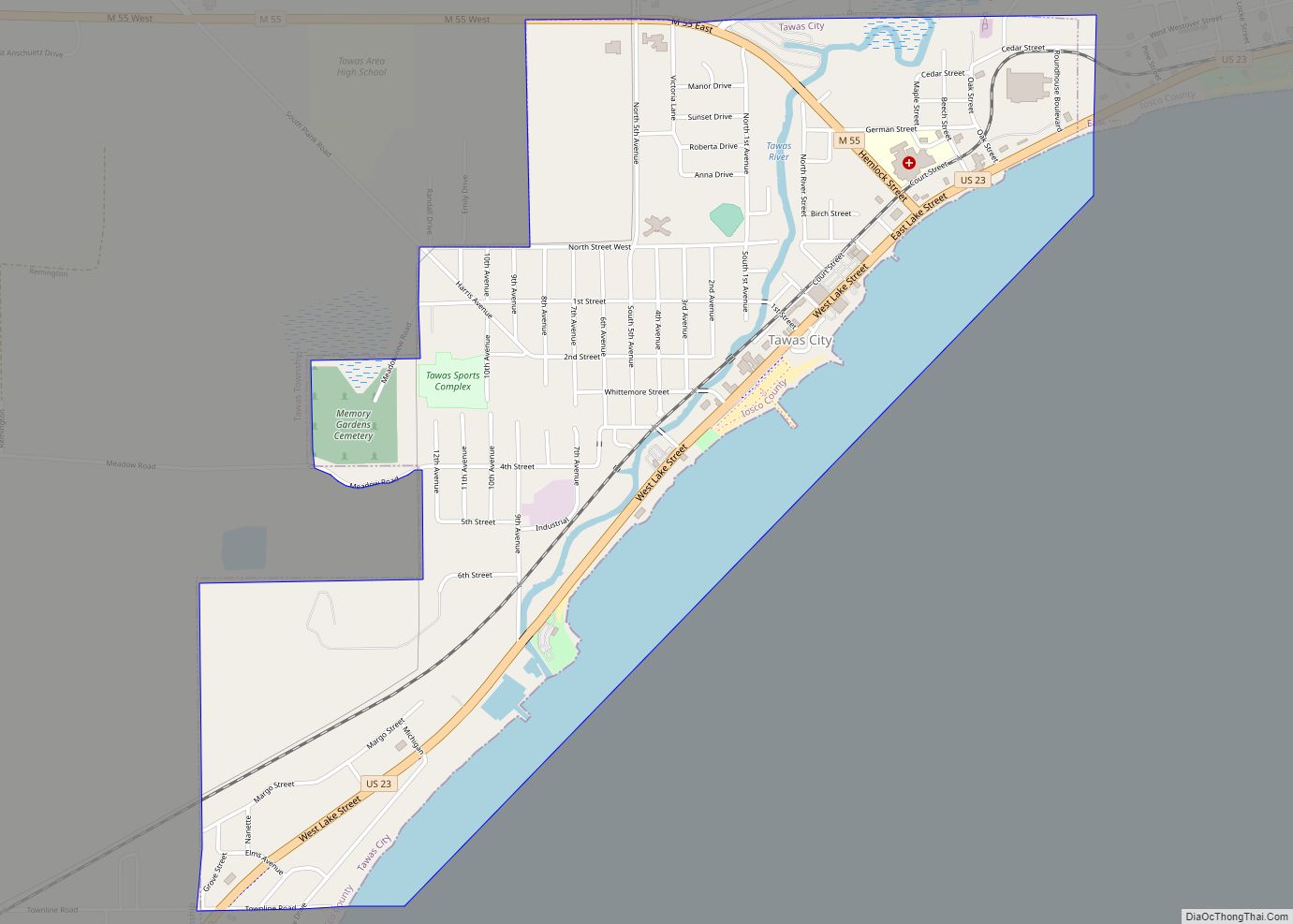
Online Interactive Map
Click on ![]() to view map in "full screen" mode.
to view map in "full screen" mode.
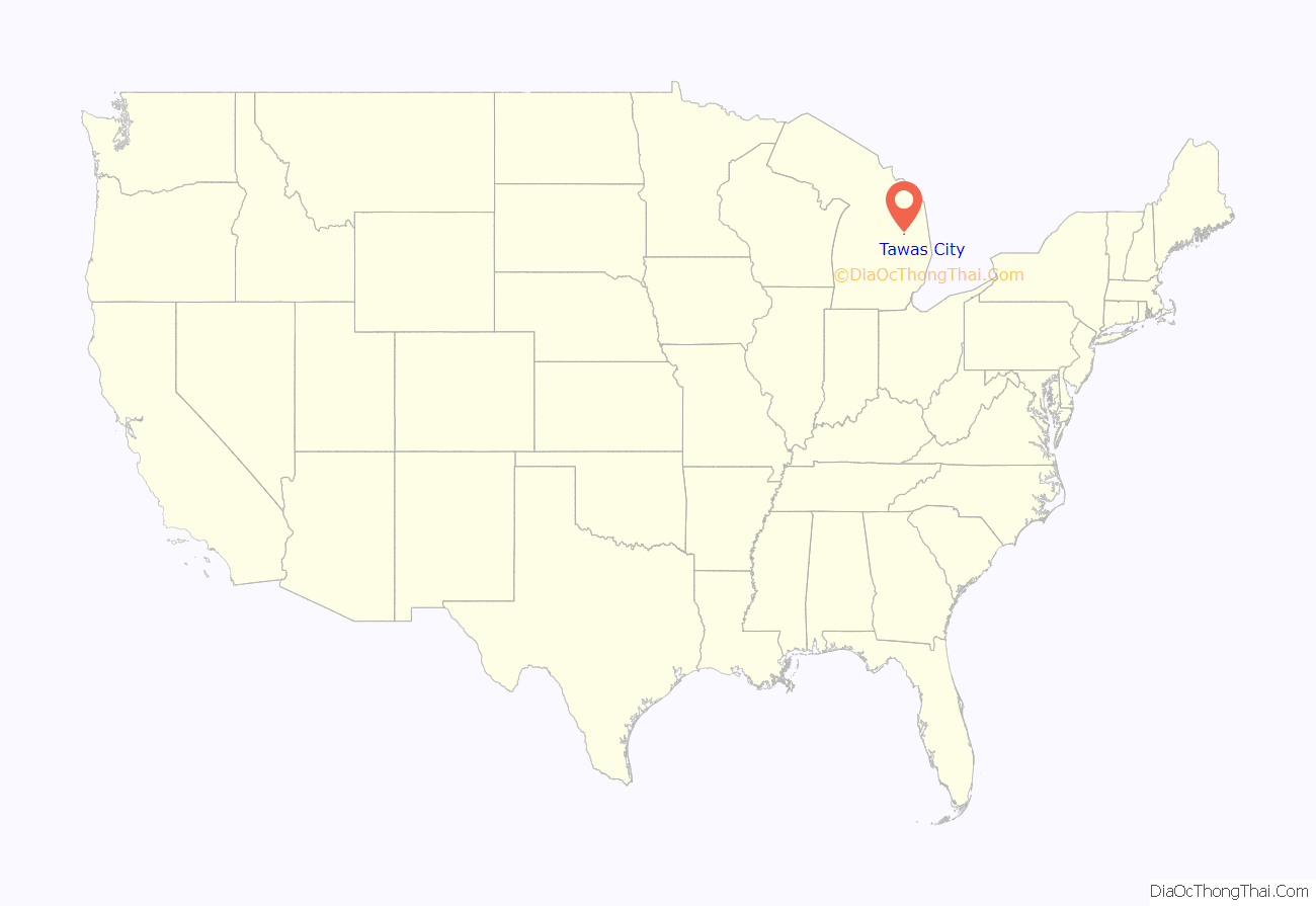
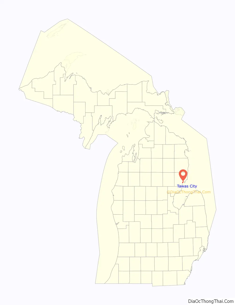
Tawas City location map. Where is Tawas City city?
History
Tawas City was founded in 1854 as the first city to be located on the shores of Saginaw Bay and Lake Huron north of Bay City, Michigan. Tawas City was designated as the county seat of Iosco County, and the first post office was established Jan. 6, 1856, with James O. Whittemore appointed postmaster.
Since Tawas City’s founding, the community’s economy has been a major factor influencing land use and development patterns. The rich natural resource base of the area: forest lands, Lake Huron and wildlife, combined with the protection offered by Tawas Bay, inspired the founding of the city and provided resources to support a lumber industry. The shoreline, as the transition zone between land and water, became the focus of the community, with the city developing in a linear fashion along the bayshore. Tawas Bay continues to serve as a harbor of refuge, used by large freighters to escape severe storms on Lake Huron.
Statements that “Tawas” is derived from the word “Ottawas” and that the Ottawa Indians once inhabited this region are false. The local Indians had made camps along the shore of the bay and near the mouth of the river. They were a band from the Saginaw, Michigan tribe of Chippewa (also known as Ojibwa). Their leader was Chief O-ta-was. As he had his camp on the shores of the bay, it was known as O-ta-was’s Bay. Early map makers dropped in an extra “t”; later map makers dropped off the “s.” The name of the point dividing the bay from Lake Huron was known as Ottawa Point. Comparatively recent spelling and pronunciation for the name of these Chippewa gradually evolved to Tawas.
The Whittemores named the community they founded as Tawas City. Eight years later, the lumbering firm of Smith, Van Valkenburg and Company built a mill on the bay shore a mile or so east of the Whittemore mill and holding. When a community developed around this latter mill, the cluster of homes was, by common consent, named East Tawas. For many years, residents of both towns and the surrounding farming community often referred to Tawas City as “old town” and to East Tawas as “east town.”
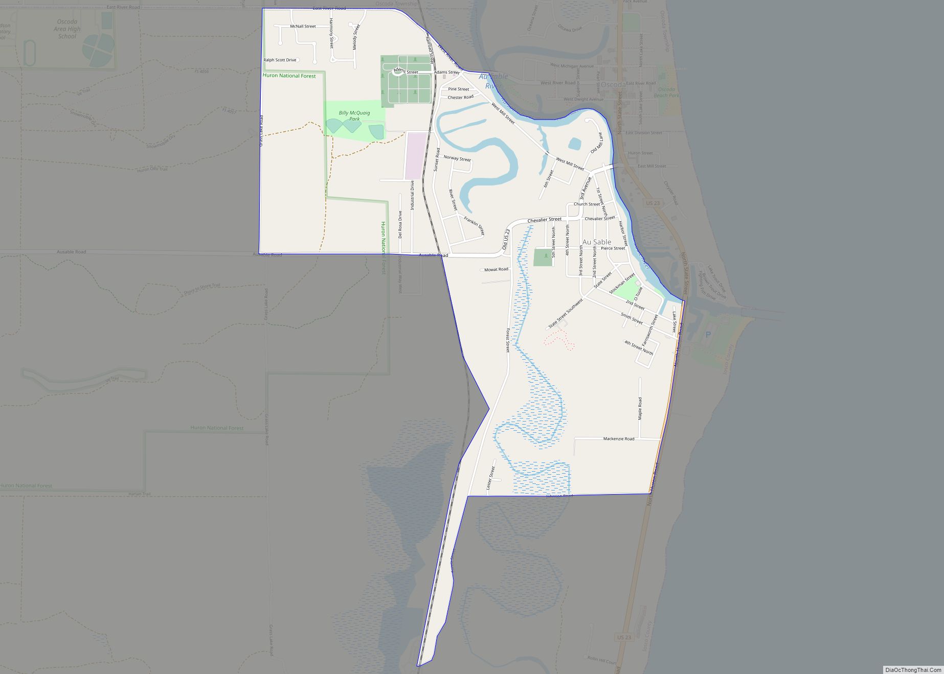
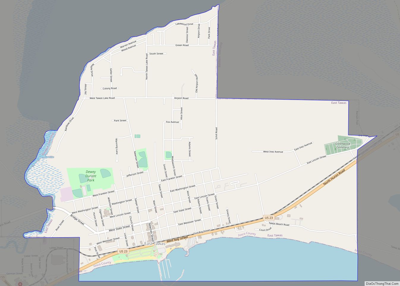
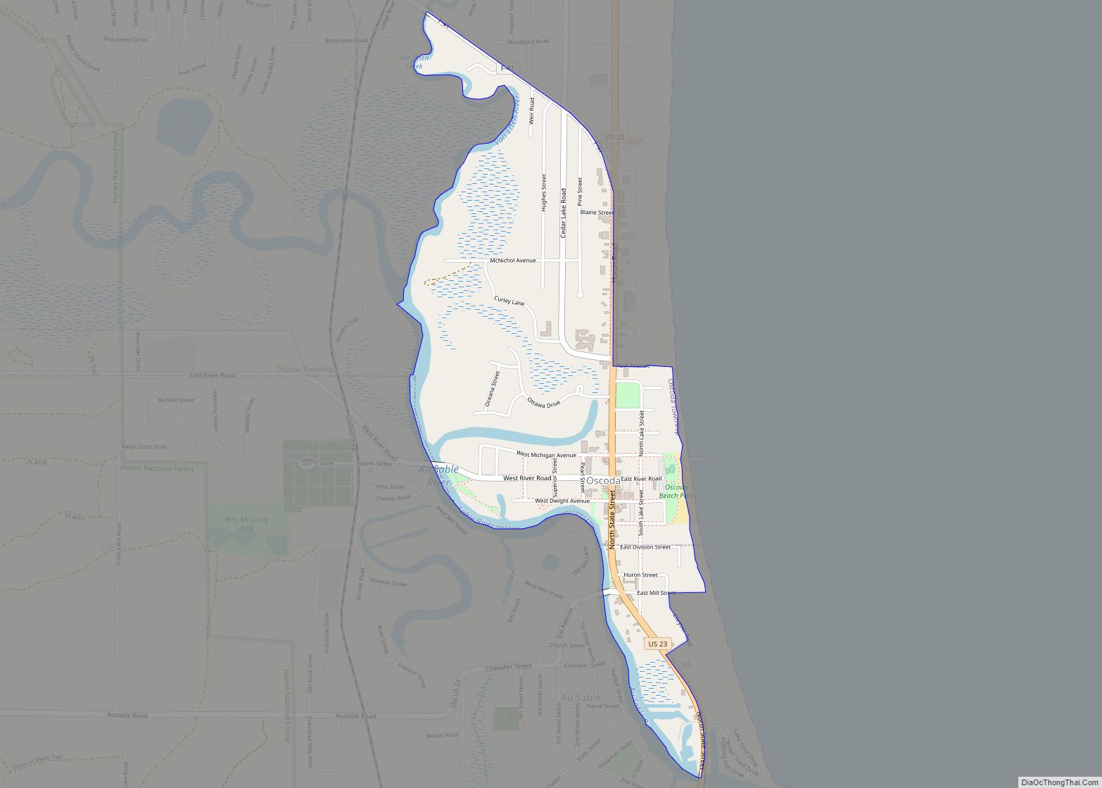
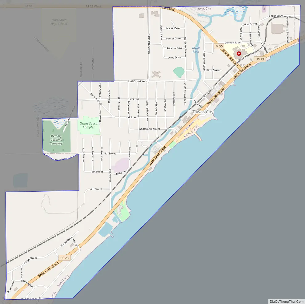
Tawas City Road Map
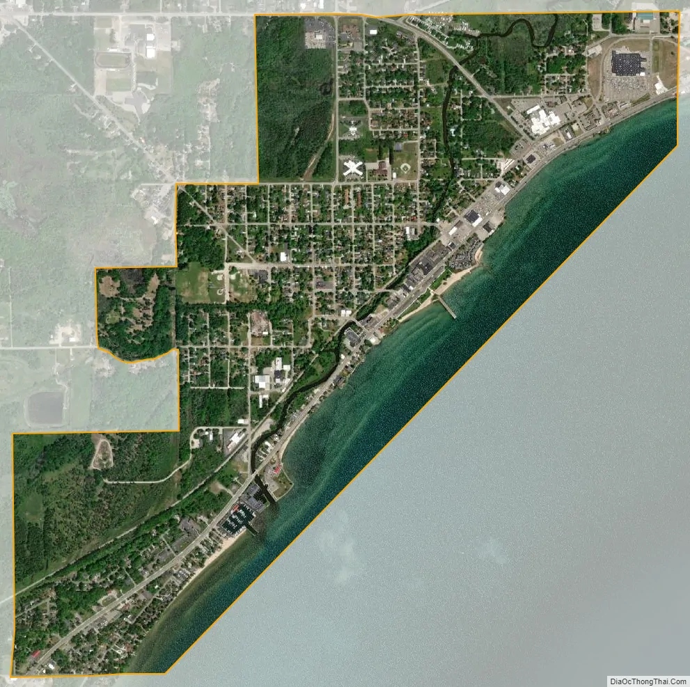
Tawas City city Satellite Map
Geography
According to the U.S. Census Bureau, the city has a total area of 2.13 square miles (5.52 km), of which 1.70 square miles (4.40 km) is land and 0.43 square miles (1.11 km) (20.19%) is water.
See also
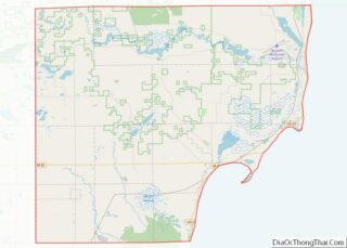
Map of Michigan State and its subdivision:- Alcona
- Alger
- Allegan
- Alpena
- Antrim
- Arenac
- Baraga
- Barry
- Bay
- Benzie
- Berrien
- Branch
- Calhoun
- Cass
- Charlevoix
- Cheboygan
- Chippewa
- Clare
- Clinton
- Crawford
- Delta
- Dickinson
- Eaton
- Emmet
- Genesee
- Gladwin
- Gogebic
- Grand Traverse
- Gratiot
- Hillsdale
- Houghton
- Huron
- Ingham
- Ionia
- Iosco
- Iron
- Isabella
- Jackson
- Kalamazoo
- Kalkaska
- Kent
- Keweenaw
- Lake
- Lake Hurron
- Lake Michigan
- Lake St. Clair
- Lake Superior
- Lapeer
- Leelanau
- Lenawee
- Livingston
- Luce
- Mackinac
- Macomb
- Manistee
- Marquette
- Mason
- Mecosta
- Menominee
- Midland
- Missaukee
- Monroe
- Montcalm
- Montmorency
- Muskegon
- Newaygo
- Oakland
- Oceana
- Ogemaw
- Ontonagon
- Osceola
- Oscoda
- Otsego
- Ottawa
- Presque Isle
- Roscommon
- Saginaw
- Saint Clair
- Saint Joseph
- Sanilac
- Schoolcraft
- Shiawassee
- Tuscola
- Van Buren
- Washtenaw
- Wayne
- Wexford
- Alabama
- Alaska
- Arizona
- Arkansas
- California
- Colorado
- Connecticut
- Delaware
- District of Columbia
- Florida
- Georgia
- Hawaii
- Idaho
- Illinois
- Indiana
- Iowa
- Kansas
- Kentucky
- Louisiana
- Maine
- Maryland
- Massachusetts
- Michigan
- Minnesota
- Mississippi
- Missouri
- Montana
- Nebraska
- Nevada
- New Hampshire
- New Jersey
- New Mexico
- New York
- North Carolina
- North Dakota
- Ohio
- Oklahoma
- Oregon
- Pennsylvania
- Rhode Island
- South Carolina
- South Dakota
- Tennessee
- Texas
- Utah
- Vermont
- Virginia
- Washington
- West Virginia
- Wisconsin
- Wyoming