Isabella County is a county located in the U.S. state of Michigan. As of the 2020 Census, the population was 64,394. Its county seat is Mount Pleasant. The area was known as Ojibiway Besse, meaning “the place of the Ojibwa” (known as the Chippewa in the United States).
| Name: | Isabella County |
|---|---|
| FIPS code: | 26-073 |
| State: | Michigan |
| Founded: | 1831 |
| Named for: | Queen Isabella I of Castile |
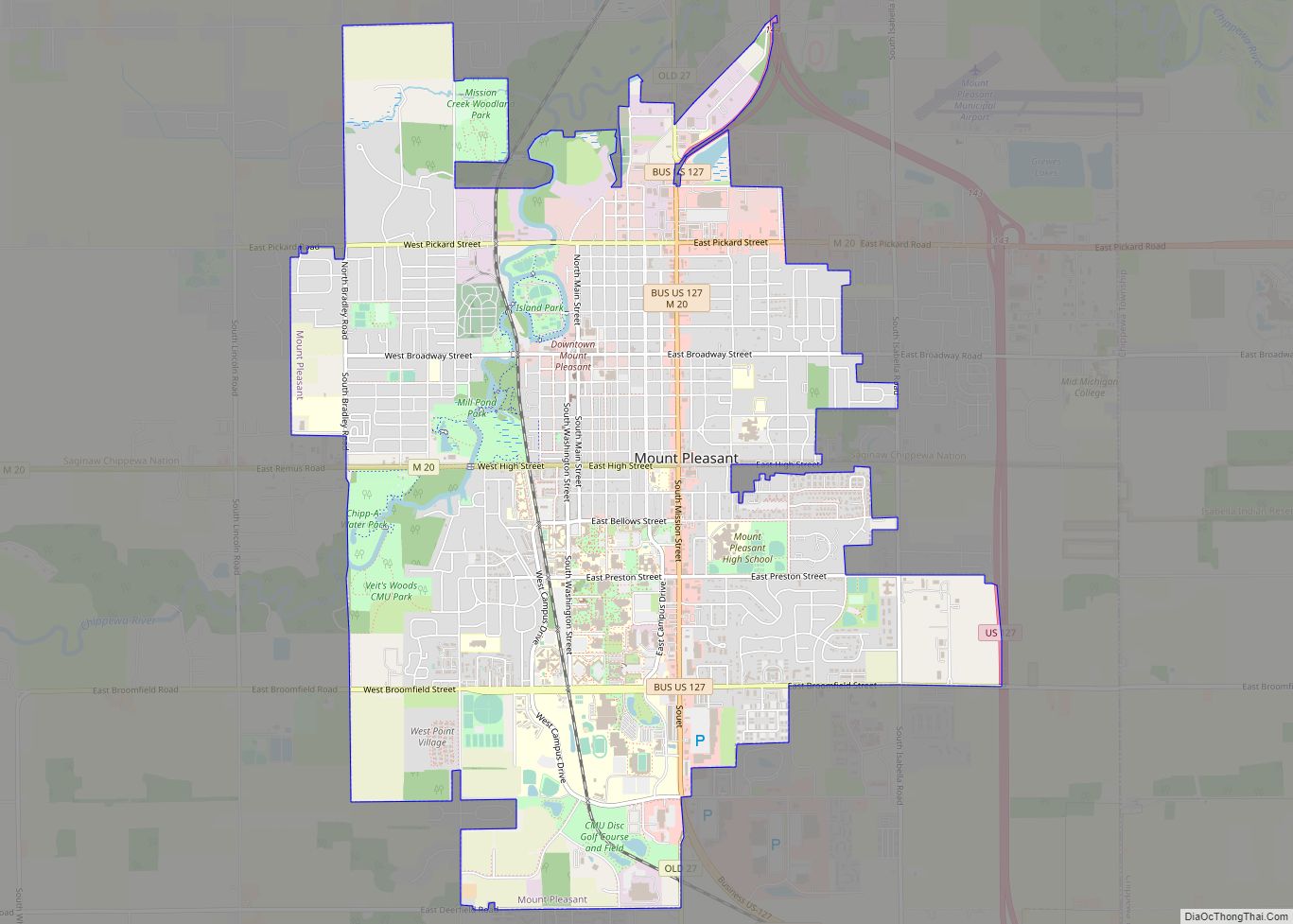
| Seat: | Mount Pleasant |
| Largest city: | Mount Pleasant |
| Total Area: | 578 sq mi (1,500 km²) |
| Land Area: | 573 sq mi (1,480 km²) |
| Total Population: | 64,394 |
| Population Density: | 124/sq mi (48/km²) |
| Time zone: | UTC−5 (Eastern) |
| Summer Time Zone (DST): | UTC−4 (EDT) |
| Website: | www.isabellacounty.org |
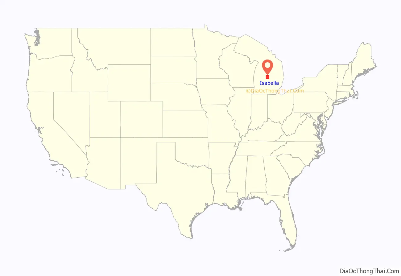
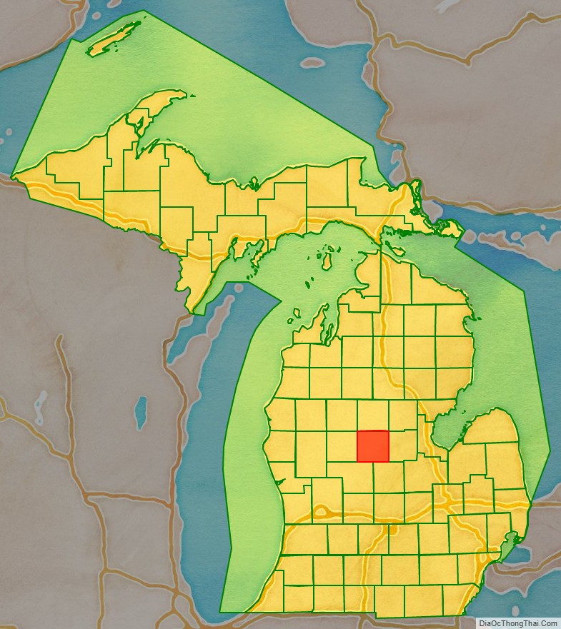
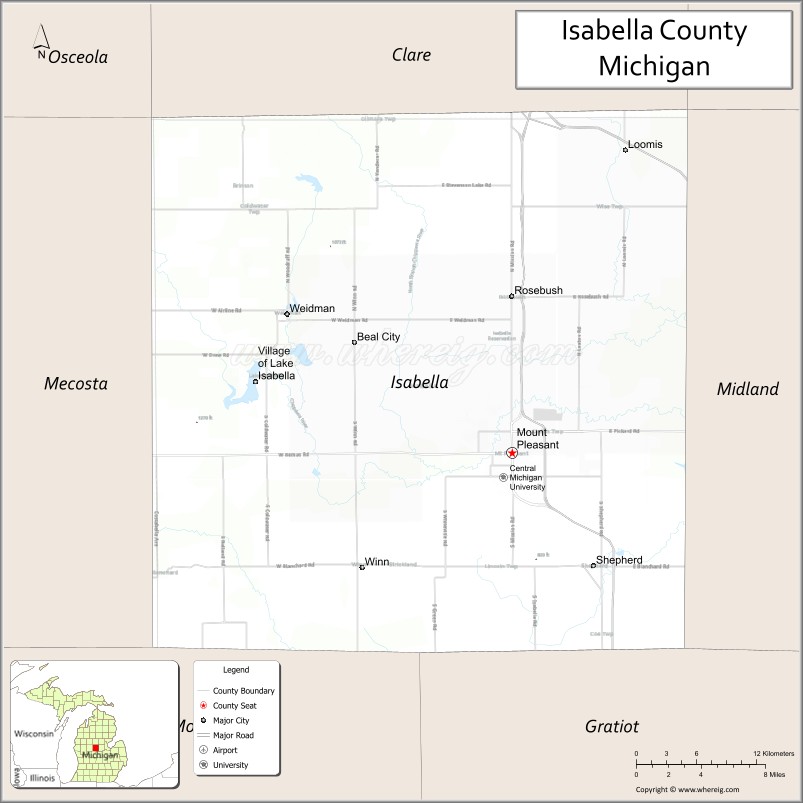
Isabella County location map. Where is Isabella County?
History
Isabella County was described by action of the Michigan Territorial legislature in 1831. But for purposes of population, revenue, and judicial matters, it was assigned to nearby counties. Its area was partitioned from unorganized territory plus a portion of Mackinac, which had existed as a Territorial County since 1818.
The Michigan Territory was admitted to the Union as Michigan State in early 1837. By 1859, Isabella had sufficient settlement and interest in self-government that the State legislature authorized its organization. Based on a suggestion by Henry Rowe Schoolcraft, the US Indian Agent in this area, the county was named after Queen Isabella I of Castile, who with her husband Ferdinand commissioned Columbus’s expedition in which he discovered the New World.
Isabella County comprises the Mount Pleasant, MI Micropolitan Statistical Area in Mid-Michigan, also known as Central Michigan. The county contains the Isabella Indian Reservation, which has a total area of 217.67 square miles (563.8 km). It is the major land base of the federally recognized Saginaw Chippewa Tribal Nation. Part of the county seat of Mount Pleasant is located within the reservation.
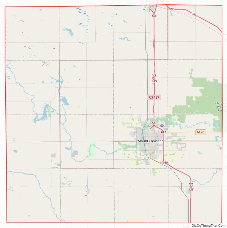
Isabella County Road Map
Geography
According to the US Census Bureau, the county has a total area of 578 square miles (1,500 km), of which 573 square miles (1,480 km) are land and 5.0 square miles (13 km) (0.9%) are water.
Highways
- US 10 – cuts across NE corner of county. Enters at Clare; runs ESE to east county line. Exits to Coleman.
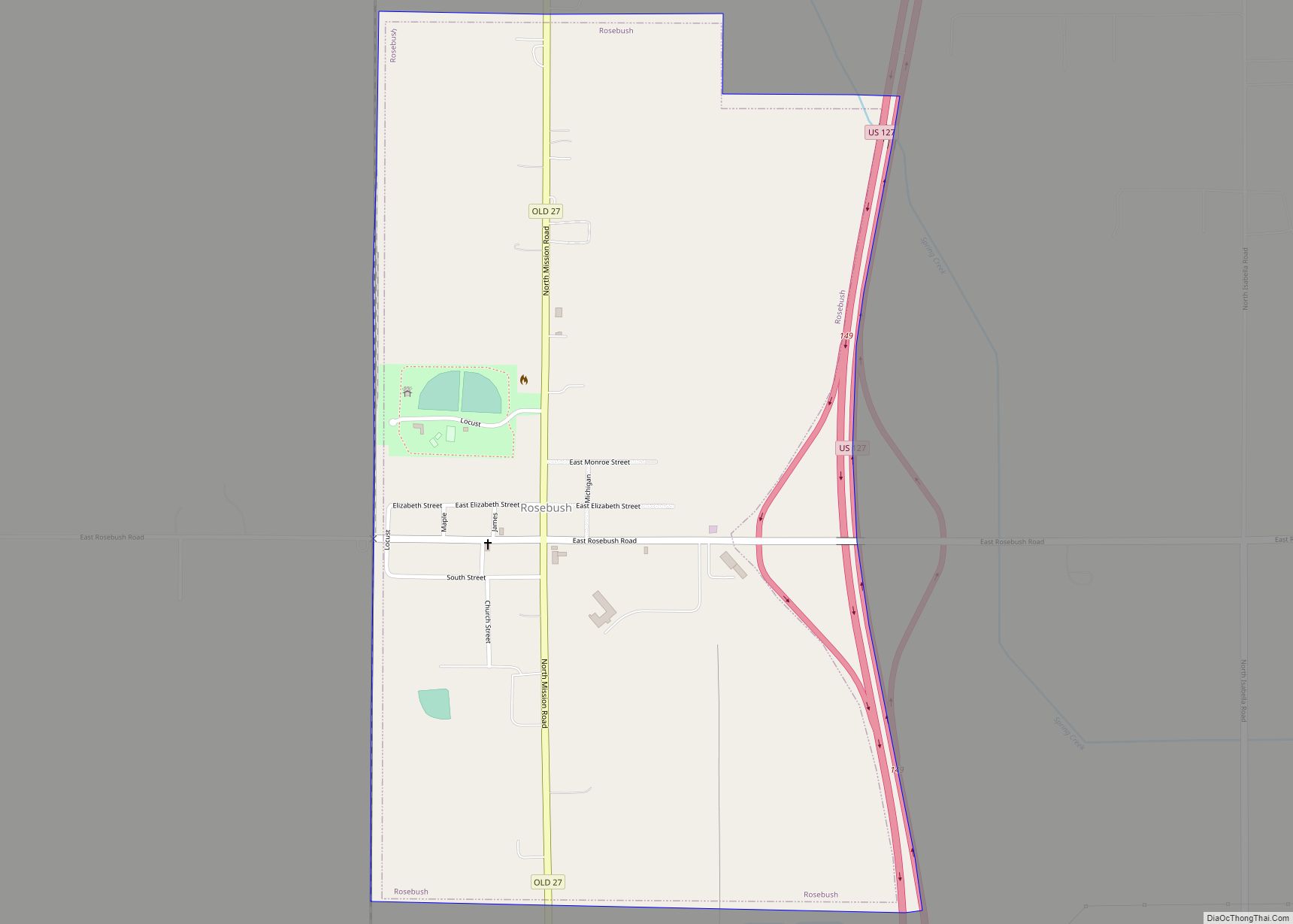
- US 127 – runs north–south through the eastern central part of county. Passes Rosebush and Mt. Pleasant, runs SE to Shepherd, then runs south into Gratiot County.
- M-20 – runs east–west across lower central part of county. Enters from Remus. Ends at Mt. Pleasant.
- (proposed) – I-73 – project in Michigan is inactive
Adjacent counties
- Clare County – north
- Gladwin County – northeast
- Midland County – east
- Gratiot County – southeast
- Montcalm County – southwest
- Mecosta County – west
- Osceola County – northwest
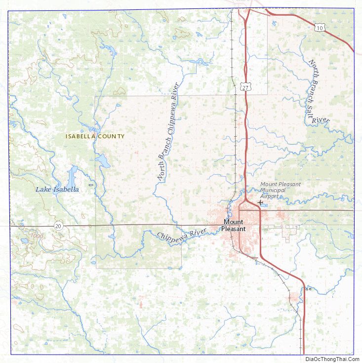
Isabella County Topographic Map
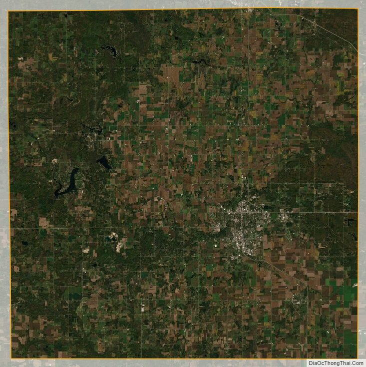
Isabella County Satellite Map
Isabella County Outline Map