Midland County is a county located in the U.S. state of Michigan. As of the 2020 Census, the population was 83,494. The county seat is Midland. The county’s name is due to its closeness to the geographical Lower Peninsula’s geographical center. It was founded in 1831. However, it was not until 1855 that the county was effectively organized.
Midland County comprises the Midland, MI Metropolitan Statistical Area and is included in the Saginaw–Midland–Bay City Combined Statistical Area in the Mid/Central Michigan region.
| Name: | Midland County |
|---|---|
| FIPS code: | 26-111 |
| State: | Michigan |
| Founded: | 1831, reorganized 1855 |
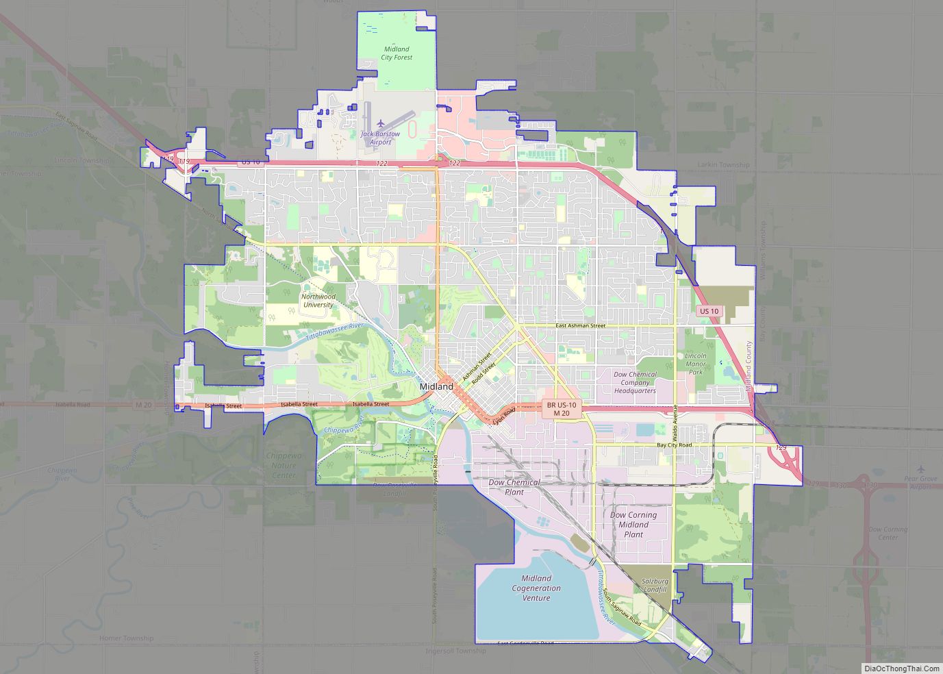
| Seat: | Midland |
| Largest city: | Midland |
| Total Area: | 528 sq mi (1,370 km²) |
| Land Area: | 516 sq mi (1,340 km²) |
| Total Population: | 83,494 |
| Population Density: | 162/sq mi (63/km²) |
| Time zone: | UTC−5 (Eastern) |
| Summer Time Zone (DST): | UTC−4 (EDT) |
| Website: | www.co.midland.mi.us |
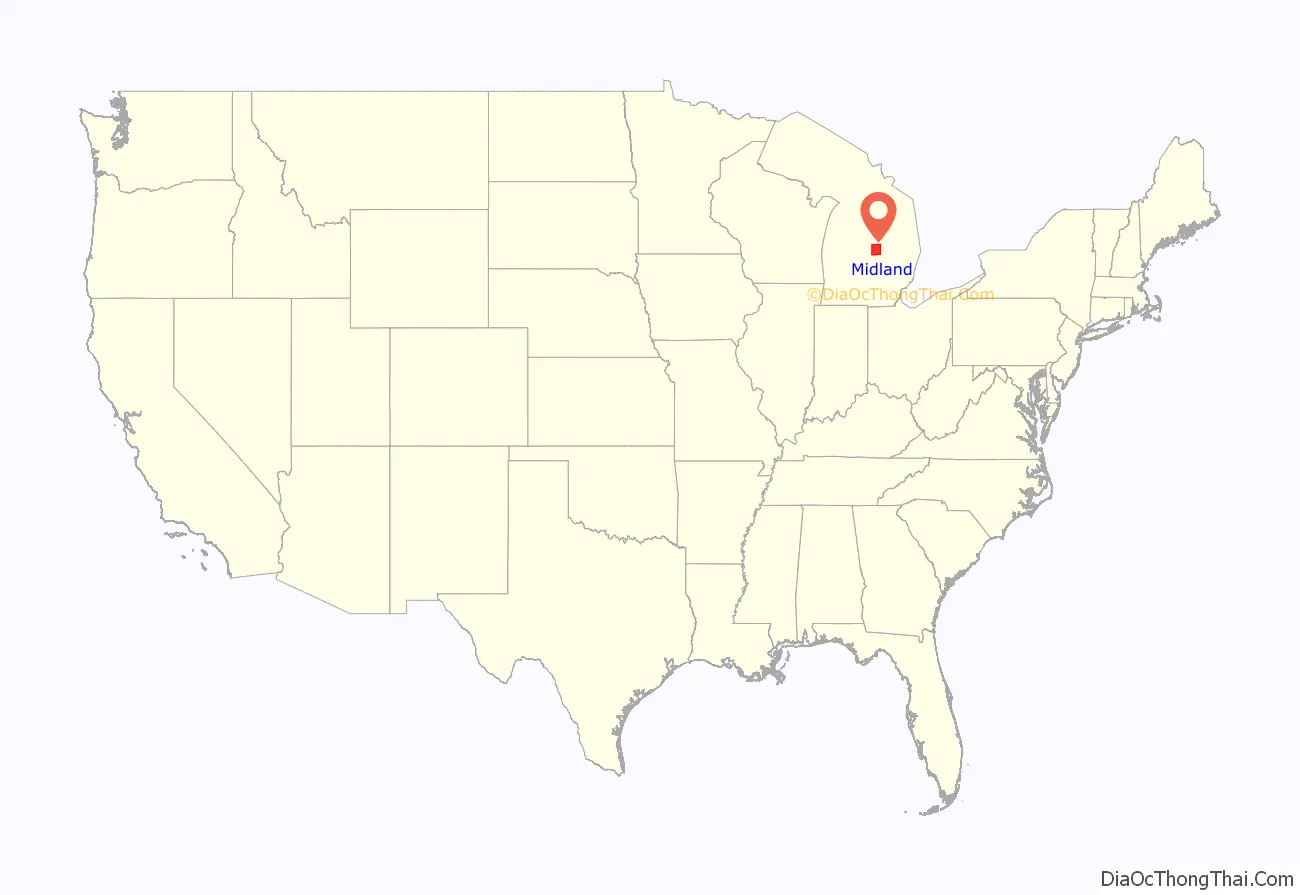
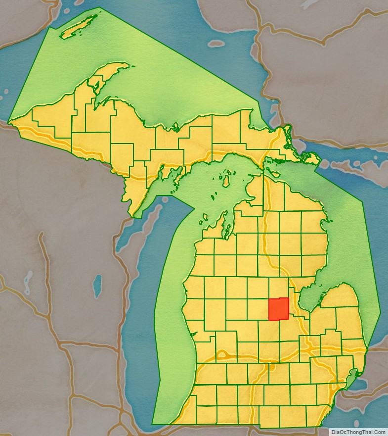
Midland County location map. Where is Midland County?
History
Early history
For many centuries, Midland County was inhabited by Native Americans, and by the time of European contact it was inhabited by the Chippewa Indian Tribe.
19th century
In the year of 1831, Midland County’s borders had been set. In 1850, Midland County was officially organized. In 1874, the Flint and Pere Marquette Railroad linked Midland to the nationwide railroad network. The City of Midland, the county seat, is officially incorporated in 1887, and 3 years later in 1890, Herbert Henry Dow arrives and founds the Dow Chemical Corporation, now one of the largest chemical companies in the world.
When the American Civil War broke out in 1861, many men from the county enlisted in the Union Army, many in Company B of the 10th Michigan Volunteer Infantry Regiment, and Company H of the 27th Michigan Volunteer Infantry Regiment, but some ended up in different regiments. Not all of them came back alive and several were wounded. Many veterans of the war are also buried in the county. There were a total of 5 different Posts, or veteran groups, of the Grand Army of the Republic, a Union veterans organization, in Midland County.
Some of the regiments which included men from Midland County are: 10th Michigan Volunteer Infantry Regiment, 27th Michigan Volunteer Infantry Regiment, 29th Michigan Volunteer Infantry Regiment, 16th Michigan Volunteer Infantry Regiment, 3rd Michigan Volunteer Cavalry Regiment, 7th Michigan Volunteer Cavalry Regiment, 2nd Michigan Volunteer Cavalry Regiment, 1st Michigan Volunteer Cavalry Regiment, and 23rd Michigan Volunteer Infantry Regiment.
20th century
In the 20th Century the county saw significant growth with the entrenchment of the Dow Chemical Corporation and the establishment of major roads, highways, and a few minor airports. However, in the late 20th Century the Pere Marquette Railroad was closed, which cut off passenger train travel from the region.
In World War 1, once the US had entered the war in 1917, the Dow Chemical Corporation, based mainly in the city of Midland, was involved with the production of poisonous gases for use during the war, and with the production of ammunition. Additionally, 675 men from Midland joined the US military during the war, and 8 of them died in the line of duty.
In World War 2, many men from the county enlisted in the US Military, and several would die. Additionally Dow turned its factories towards supplying the war effort and they would assist in manufacturing explosives, flares, and medicine. There is also a large memorial to veterans from Midland County from this war.
During the Cold War, an Army National Guard depot was set up in the city of Midland. In the Vietnam War, Dow and the rest of Midland County were the main suppliers of Napalm used during the conflict. Several men would also die in the Korean War and Vietnam War.
21st century
In the 21st century, the Sons of Union Veterans, the successor to the Grand Army of the Republic, founded the U.S. Grant Camp No. 67, which serves the Midland, Saginaw, and Bay City area. During the War on Terror, many men from the county enlisted and few died. The Midland County Veterans Memorial was refurbished. The city of Coleman also built a new war memorial. Curiously, none of these memorials reference the service of Midland men in the Civil War.
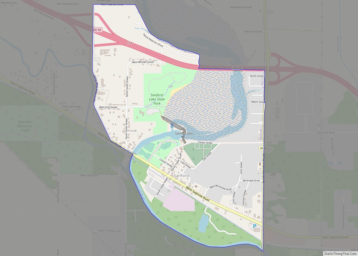
In May 2020, Midland County residents in parts of the city of Midland, the village of Sanford, Edenville Township, Midland Township, Tittabawassee, Thomas Township, Saginaw Township, Lincoln Township, Homer Township and Dow Chemical were forced to evacuate due to high flooding which was caused by the breach of the Edenville and Sanford dams.
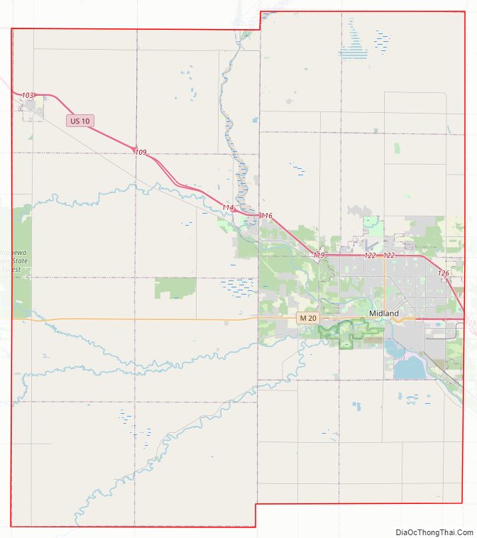
Midland County Road Map
Geography
According to the U.S. Census Bureau, the county has a total area of 528 square miles (1,370 km), of which 516 square miles (1,340 km) is land and 12 square miles (31 km) (2.2%) is water.
Adjacent counties
- Gladwin County (north)
- Bay County (east)
- Saginaw County (southeast)
- Gratiot County (south)
- Isabella County (west)
- Clare County (northwest)
Midland County Topographic Map
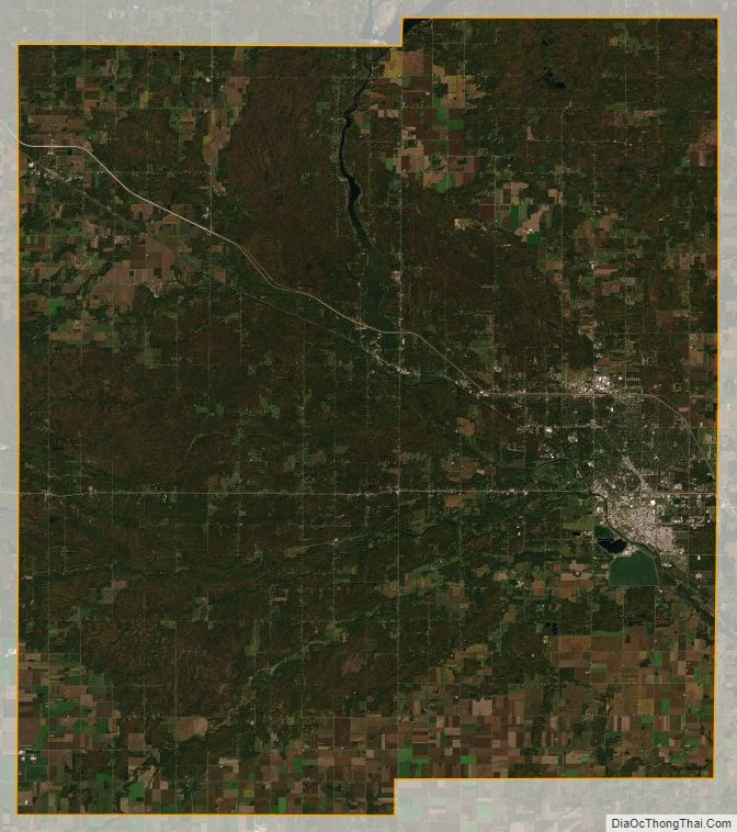
Midland County Satellite Map
Midland County Outline Map