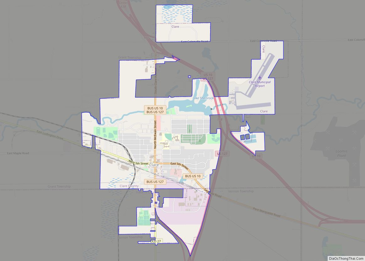
Clare is a city mostly in Clare County in the U.S. state of Michigan. A small portion of the city extends south into Isabella County. The population was 3,254 at the 2020 census.
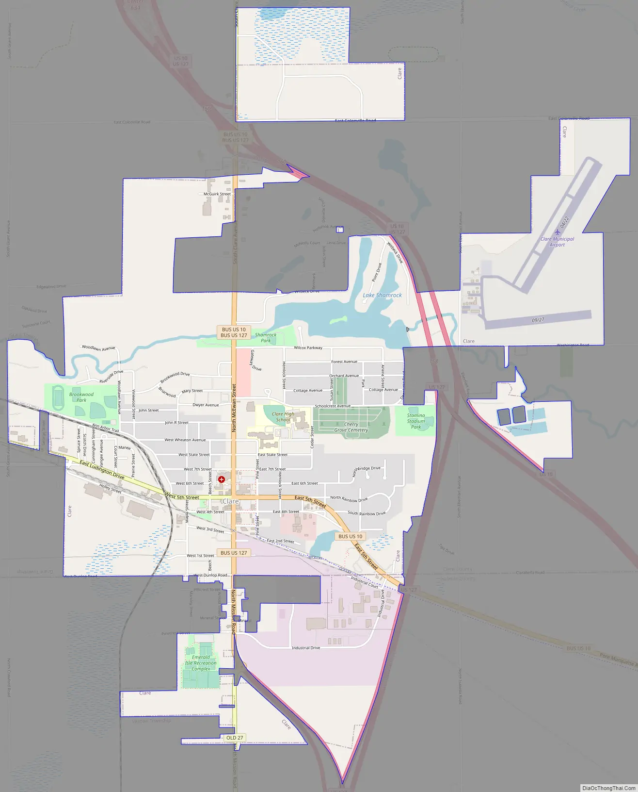
Clare was settled as early as 1870 and contains two listings on the National Register of Historic Places: the Clare Downtown Historic District and the Clare Congregational Church. The city is located along the junction of U.S. Route 10 and U.S. Route 127, and each highway has a business route (Bus. 10 and Bus. US 127) through the downtown area. M-115 also runs through the city.
| Name: | Clare city |
|---|---|
| LSAD Code: | 25 |
| LSAD Description: | city (suffix) |
| State: | Michigan |
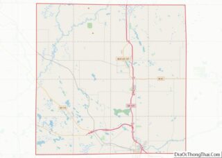
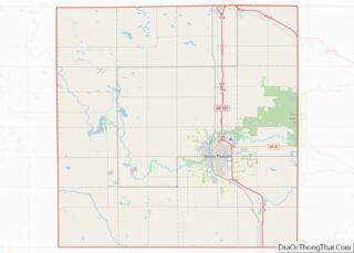
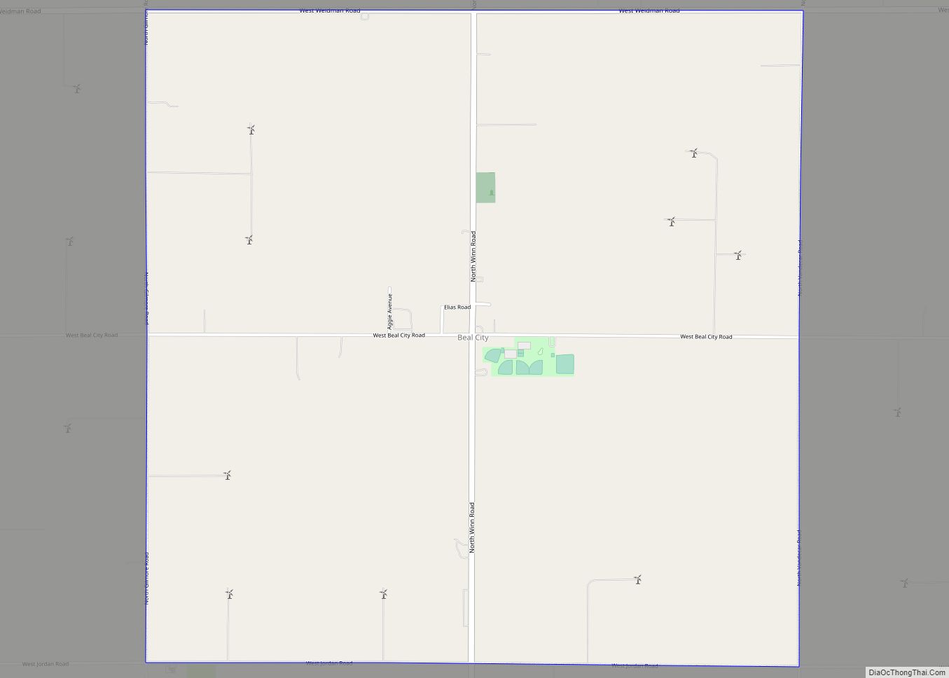
| County: | Clare County, Isabella County |
| Founded: | 1870 |
| Incorporated: | 1885 (village) 1891 (city) |
| Elevation: | 837 ft (255 m) |
| Total Area: | 3.83 sq mi (9.92 km²) |
| Land Area: | 3.72 sq mi (9.63 km²) |
| Water Area: | 0.11 sq mi (0.28 km²) |
| Total Population: | 3,254 |
| Population Density: | 874.26/sq mi (337.53/km²) |
| Area code: | 989 |
| FIPS code: | 2615920 |
| GNISfeature ID: | 0623335 |
Online Interactive Map
Click on ![]() to view map in "full screen" mode.
to view map in "full screen" mode.
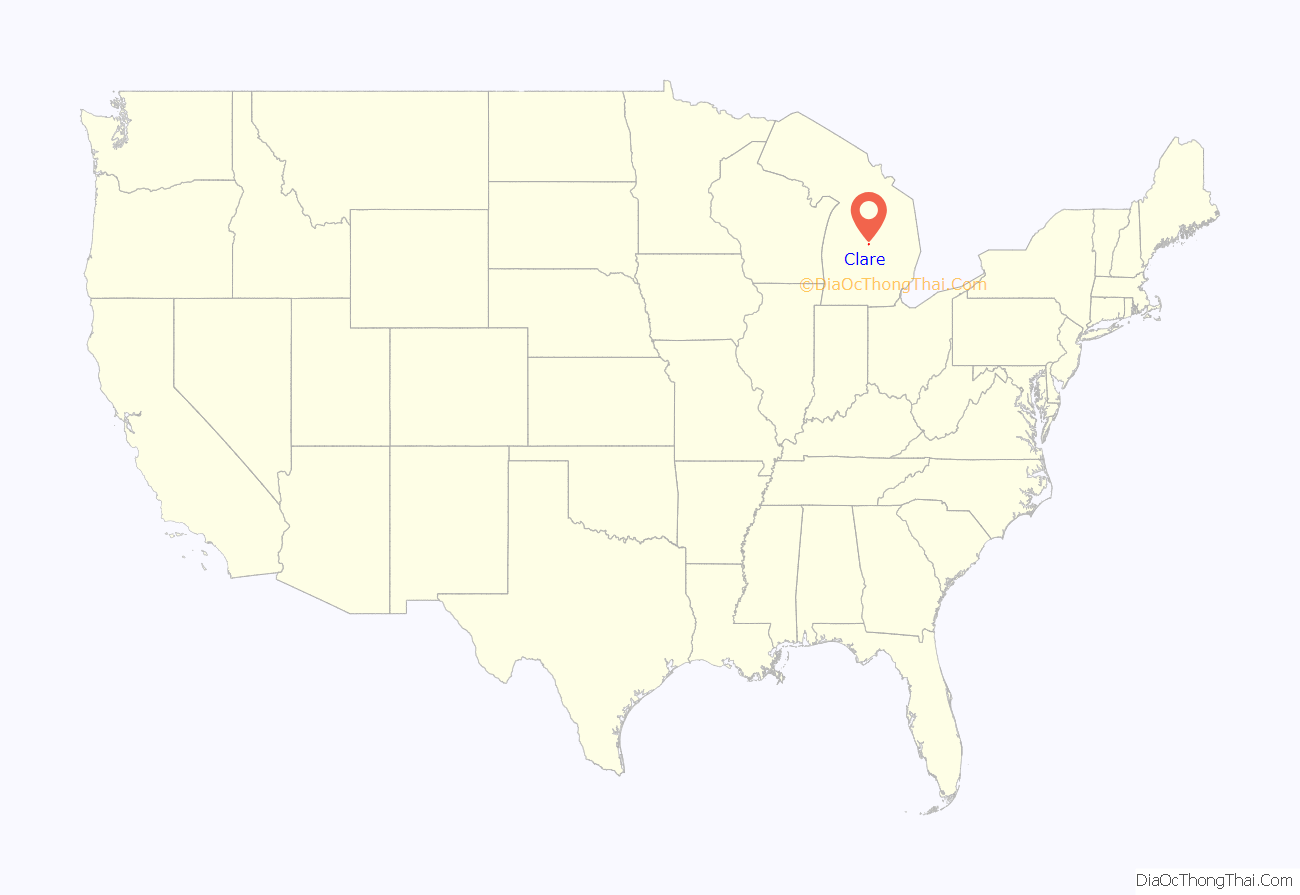
Clare location map. Where is Clare city?

History
Clare was founded with the coming of the Pere Marquette railroad in 1870. It was named after the county, which was named after County Clare in Ireland. The Clare post office opened on January 20, 1871. It incorporated as a village in 1879 and as a city in 1891.
Cops & Doughnuts is a bakery that opened in 2009 in the former Clare City Bakery that dates back to 1896.
Clare Road Map
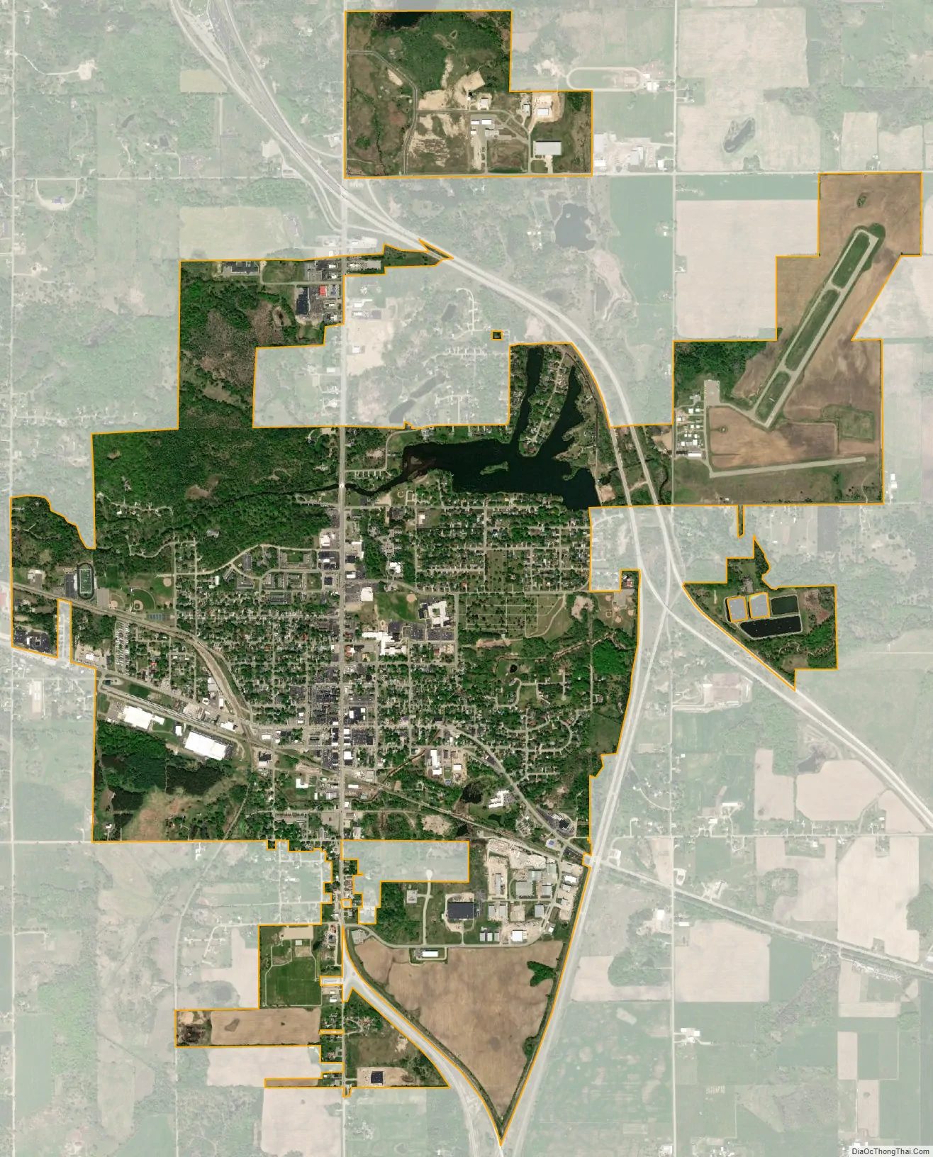
Clare city Satellite Map
Geography
According to the U.S. Census Bureau, the city has a total area of 3.83 square miles (9.92 km), of which 3.72 square miles (9.63 km) is land and 0.11 square miles (0.28 km) (2.87%) is water.
The south branch of the Tobacco River flows through the city and also contains Lake Shamrock.
Climate
This climatic region is typified by large seasonal temperature differences, with warm to hot (and often humid) summers and cold (sometimes severely cold) winters. According to the Köppen Climate Classification system, Clare has a humid continental climate, abbreviated “Dfb” on climate maps.
See also
Map of Michigan State and its subdivision:- Alcona
- Alger
- Allegan
- Alpena
- Antrim
- Arenac
- Baraga
- Barry
- Bay
- Benzie
- Berrien
- Branch
- Calhoun
- Cass
- Charlevoix
- Cheboygan
- Chippewa
- Clare
- Clinton
- Crawford
- Delta
- Dickinson
- Eaton
- Emmet
- Genesee
- Gladwin
- Gogebic
- Grand Traverse
- Gratiot
- Hillsdale
- Houghton
- Huron
- Ingham
- Ionia
- Iosco
- Iron
- Isabella
- Jackson
- Kalamazoo
- Kalkaska
- Kent
- Keweenaw
- Lake
- Lake Hurron
- Lake Michigan
- Lake St. Clair
- Lake Superior
- Lapeer
- Leelanau
- Lenawee
- Livingston
- Luce
- Mackinac
- Macomb
- Manistee
- Marquette
- Mason
- Mecosta
- Menominee
- Midland
- Missaukee
- Monroe
- Montcalm
- Montmorency
- Muskegon
- Newaygo
- Oakland
- Oceana
- Ogemaw
- Ontonagon
- Osceola
- Oscoda
- Otsego
- Ottawa
- Presque Isle
- Roscommon
- Saginaw
- Saint Clair
- Saint Joseph
- Sanilac
- Schoolcraft
- Shiawassee
- Tuscola
- Van Buren
- Washtenaw
- Wayne
- Wexford
- Alabama
- Alaska
- Arizona
- Arkansas
- California
- Colorado
- Connecticut
- Delaware
- District of Columbia
- Florida
- Georgia
- Hawaii
- Idaho
- Illinois
- Indiana
- Iowa
- Kansas
- Kentucky
- Louisiana
- Maine
- Maryland
- Massachusetts
- Michigan
- Minnesota
- Mississippi
- Missouri
- Montana
- Nebraska
- Nevada
- New Hampshire
- New Jersey
- New Mexico
- New York
- North Carolina
- North Dakota
- Ohio
- Oklahoma
- Oregon
- Pennsylvania
- Rhode Island
- South Carolina
- South Dakota
- Tennessee
- Texas
- Utah
- Vermont
- Virginia
- Washington
- West Virginia
- Wisconsin
- Wyoming