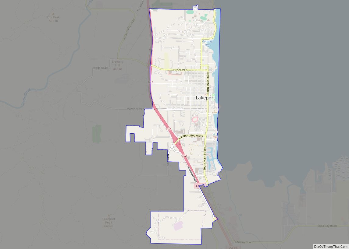
Lakeport is an incorporated city and the county seat of Lake County, California. This city is 125 miles (201 km) northwest of Sacramento. Lakeport is on the western shore of the county namesake, Clear Lake, at an elevation of 1,355 feet (413 m). The population was 5,026 at the 2020 census, up from 4,753 at the 2010 census.
| Name: | Lakeport city |
|---|---|
| LSAD Code: | 25 |
| LSAD Description: | city (suffix) |
| State: | California |
| County: | Lake County |
| Incorporated: | April 30, 1888 |
| Elevation: | 1,355 ft (413 m) |
| Total Area: | 3.20 sq mi (8.28 km²) |
| Land Area: | 3.06 sq mi (7.92 km²) |
| Water Area: | 0.14 sq mi (0.36 km²) 46.53% |
| Total Population: | 5,026 |
| Population Density: | 1,642.48/sq mi (634.17/km²) |
| ZIP code: | 95453 |
| Area code: | 707 |
| FIPS code: | 0639710 |
| GNISfeature ID: | 0277536 |
| Website: | cityoflakeport.com |
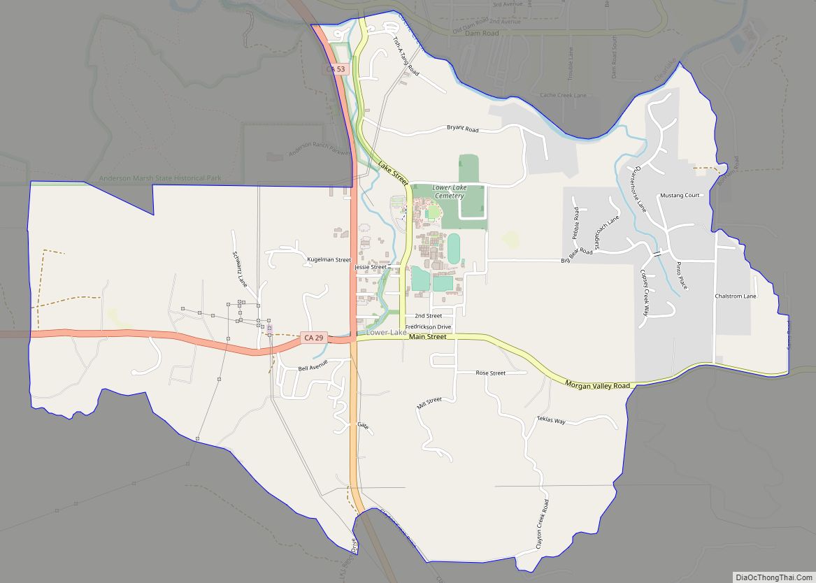
Online Interactive Map
Click on ![]() to view map in "full screen" mode.
to view map in "full screen" mode.
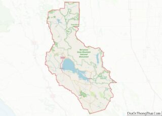
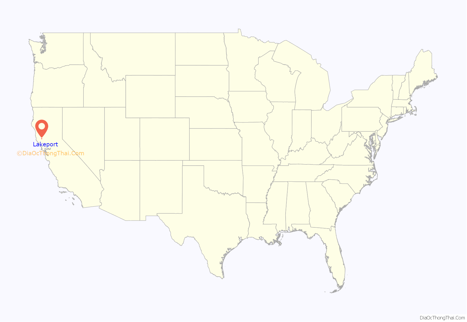
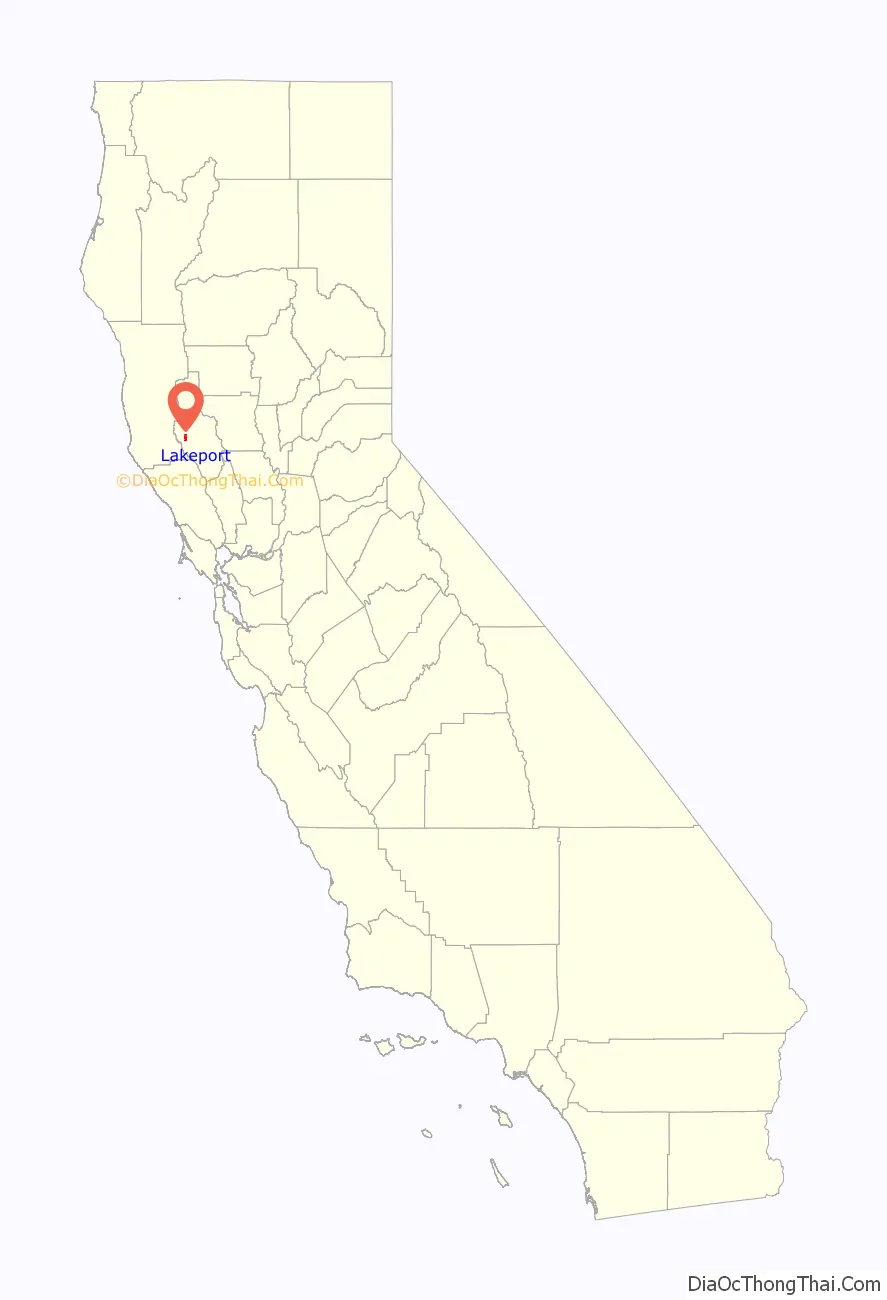
Lakeport location map. Where is Lakeport city?
History
Former names include Forbestown, Rocky Point, Stony Point, Tuckertown, and Kaci-Badon.
Lakeport was first settled by American Indians several thousand years ago. At the coming of the settlers, the Kabe-napos, a subtribe of the Pomo people, lived here within their main village. The village name was Kaci-Badon, after the water lily plant Kaci, and badon, which was the native name for ‘island’.
The first business in Lakeport was established in 1855, trading goods to the local Indians in exchange for their wares and baskets. The business was run by a man named Johnson, but he did not have a store location. The first shop built in the Lakeport area was constructed by Dr. Boynton.
It was William Forbes and James Parrish, however, who created the first shop in the main Lakeport area. Parish was a blacksmith and Forbes was a wagon maker. Forbes was also a pioneer undertaker. It was this investment as well as the land grant Forbes bestowed upon the county, which earned Lakeport its first name: Forbestown.
William Forbes came to the area in 1858. He purchased 160 acres (0.6 km) on which to build his home and farm. When the county was investigating land to put the local county seat, Forbes offered 40 acres (160,000 m) of his property on which they could build the county office. The electorate thanked Forbes for his generosity by naming the town after him. Although the town no longer bears his name, other landmarks still retain their name association to the late William Forbes.
On June 14, 1861, Forbestown was officially changed to Lakeport. Some locations still bear the Forbes name, however, such as Forbes Creek and Forbes Street.
In 1850, Captain Nathaniel Lyon led an attack in the Bloody Island Massacre. Lyon later died fighting for the Union in the Civil War.
The first post office, called Big Valley, opened at the site in 1858, and changed its name to Lakeport in 1861.
The first Lakeport courthouse was built of wood in 1861. The building burnt under suspicious circumstances in 1867.
In 1864, the Cache Creek Dam was built. Four years later, the locals tore down the dam and destroyed the mills it helped operate, after waters diverted by the dam flooded most of Lower Lake and Anderson Ranch.
In 1872, a sighting of the legendary “Monster of Blue Lakes” or “Devil Fish” caused Indians from all around to gather at Temescal to await an expected calamity.
In 1882, Black Bart robbed the stagecoach traveling between Lakeport and Cloverdale. During this time period, over 450 Chinese immigrants were employed to work the area’s quicksilver mines.
In 1883, William “Digger” Jones was hanged at Lakeport jail. He was wrongfully hanged two days after the sheriff had received the pardon for William “Digger” Jones.
In 1888, Lakeport was incorporated. For nearly a century, it was the only incorporated city in Lake County.
In 1892, Lakeport got its first telephone.
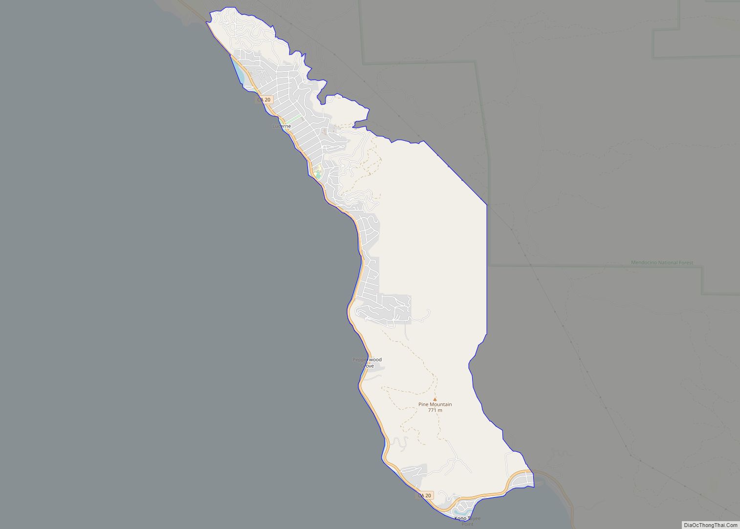
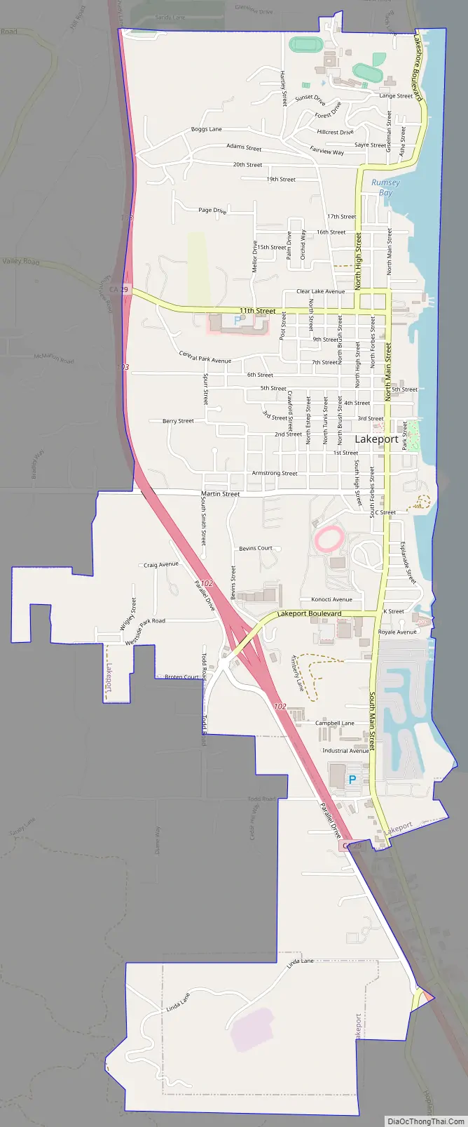
Lakeport Road Map
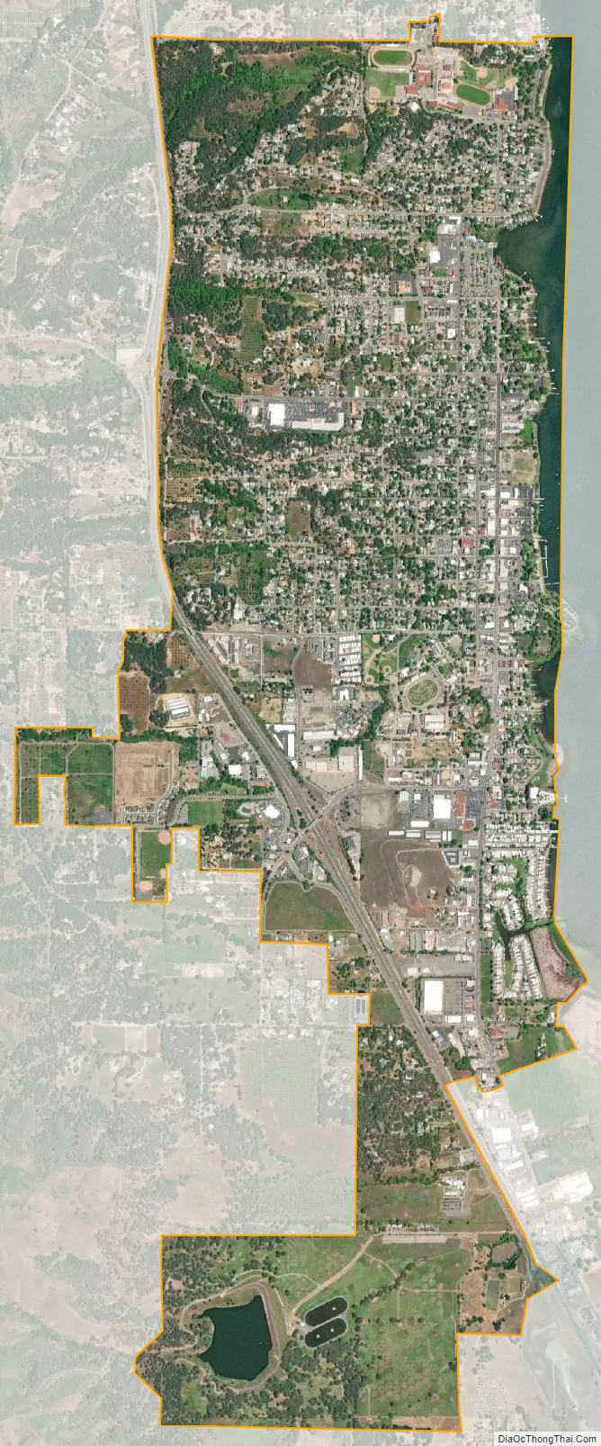
Lakeport city Satellite Map
Geography
Lakeport is located at 39°02′35″N 122°54′57″W / 39.04306°N 122.91583°W / 39.04306; -122.91583. According to the United States Census Bureau, the city has a total area of 3.2 square miles (8.3 km), of which 3.1 square miles (8.0 km) of it is land and 0.1 square miles (0.26 km) of it (4.39%) is water.
The Lakeport area is located on a sediment-filled valley adjacent to Clear Lake. Exposed materials within the area are limited to serpentinite and quaternary sediments. These sediments are poorly consolidated to unconsolidated mixtures of sand, silt, clay, and gravel derived from older rock in the adjacent mountains. Because of the low strength of the quaternary sediments, they are subject to rapid erosion and shallow slumping.
The majority of faults in the County are located in the Cobb Mountain area and Hopland Grade area running southeasterly to the southern County line. The southeastern portion of the County also appears to have considerable earthquake faults. There are also active faults within the vicinity of the City of Lakeport, including the San Andreas Fault which is 30 miles (48 km) to the west, and the Healdsburg Fault which is 15 miles (24 km) to the west. These faults have been responsible for moderate to major earthquakes in the past. The maximum creditable earthquake magnitudes are 8.25 for the San Andreas fault and 6.75 for the Healdsburg fault.
There is a potentially active rupture zone (defined as a fault that has been active during quaternary time – the last 2,000,000 years) existing immediately east of the City limits running parallel and adjacent to the shoreline of Clear Lake. Within the past 200 years, no major potentially damaging earthquakes have occurred along any faults within Lake County, including the Big Valley fault adjacent to the eastern City boundaries. Geologically, recent faulting is indicated, however, by the apparent displacement of quaternary earth materials along the Big Valley fault.
The largest earthquake to affect the City was the 1906 San Francisco earthquake which had a magnitude of 8.3. Although shaking was severe, overall damage in Lakeport was comparatively minor and generally limited to the fall of decorative masonry and chimneys.
The city relies on wells for the majority of its potable supply. In periods of high rainfall, flooding from Clear Lake, Scotts Creek and Forbes Creek, has caused historic property damage.
Climate
Lakeport, like all of the Clear Lake area, has hot, mostly dry summers and cool, wet winters. The average January temperatures are a maximum of 53.4 °F (11.9 °C) and a minimum of 31.5 °F (−0.3 °C). The average July temperatures are a maximum of 94.4 °F (34.7 °C) and a minimum of 53.0 °F (11.7 °C). There are an average of 77.5 days with highs of 90 °F (32 °C) or higher and an average of 75.5 days with lows of 32 °F (0 °C). The record high temperature was 112 °F (44 °C) on August 10, 1971, and September 13, 1972. The record low temperature was 9 °F (−13 °C) on December 9, 1972. Its climate can be classified as hot-summer Mediterranean climate according to the Köppen climate classification system.
Average annual precipitation is 28.36 inches (72.0 cm). There are an average of 66 days with measurable precipitation. The wettest year was 1973 with 44.50 inches (113.0 cm) and the driest year was 2013. The most precipitation in one month was 19.62 inches (49.8 cm) in February 1986. The most precipitation in 24 hours was 5.43 inches (13.8 cm) on December 10, 1937.
Snow is relatively rare in Lakeport, but common in the surrounding mountains. Average annual snowfall is 1.0 inch (2.5 cm). The most snow in one month was 15.0 inches (38 cm) in January 1937.
See also
Map of California State and its subdivision:- Alameda
- Alpine
- Amador
- Butte
- Calaveras
- Colusa
- Contra Costa
- Del Norte
- El Dorado
- Fresno
- Glenn
- Humboldt
- Imperial
- Inyo
- Kern
- Kings
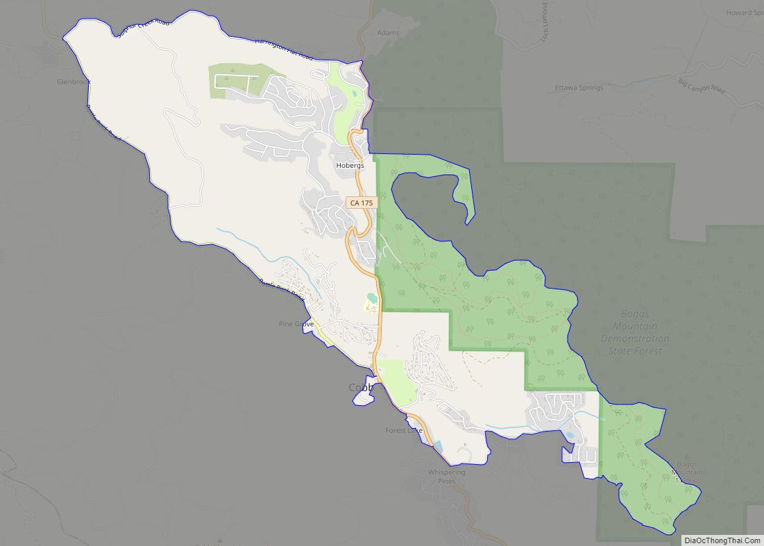
- Lake
- Lassen
- Los Angeles
- Madera
- Marin
- Mariposa
- Mendocino
- Merced
- Modoc
- Mono
- Monterey
- Napa
- Nevada
- Orange
- Placer
- Plumas
- Riverside
- Sacramento
- San Benito
- San Bernardino
- San Diego
- San Francisco
- San Joaquin
- San Luis Obispo
- San Mateo
- Santa Barbara
- Santa Clara
- Santa Cruz
- Shasta
- Sierra
- Siskiyou
- Solano
- Sonoma
- Stanislaus
- Sutter
- Tehama
- Trinity
- Tulare
- Tuolumne
- Ventura
- Yolo
- Yuba
- Alabama
- Alaska
- Arizona
- Arkansas
- California
- Colorado
- Connecticut
- Delaware
- District of Columbia
- Florida
- Georgia
- Hawaii
- Idaho
- Illinois
- Indiana
- Iowa
- Kansas
- Kentucky
- Louisiana
- Maine
- Maryland
- Massachusetts
- Michigan
- Minnesota
- Mississippi
- Missouri
- Montana
- Nebraska
- Nevada
- New Hampshire
- New Jersey
- New Mexico
- New York
- North Carolina
- North Dakota
- Ohio
- Oklahoma
- Oregon
- Pennsylvania
- Rhode Island
- South Carolina
- South Dakota
- Tennessee
- Texas
- Utah
- Vermont
- Virginia
- Washington
- West Virginia
- Wisconsin
- Wyoming