Ukiah (/juːˈkaɪə/ yoo-KY-ə; Pomo: Yokaya, meaning “deep valley”) is the county seat and largest city of Mendocino County, California, with a population of 16,607 at the 2020 census. With its accessible location along the U.S. Route 101 corridor, Ukiah serves as the city center for Mendocino County and much of neighboring Lake County.
| Name: | Ukiah city |
|---|---|
| LSAD Code: | 25 |
| LSAD Description: | city (suffix) |
| State: | California |
| County: | Mendocino County |
| Incorporated: | March 8, 1876 |
| Elevation: | 633 ft (193 m) |
| Total Area: | 4.83 sq mi (12.5 km²) |
| Land Area: | 4.78 sq mi (12.4 km²) |
| Water Area: | 0.04 sq mi (0.1 km²) 1.11% |
| Total Population: | 16,607 |
| Area code: | 707 |
| FIPS code: | 0681134 |
| Website: | www.cityofukiah.com |
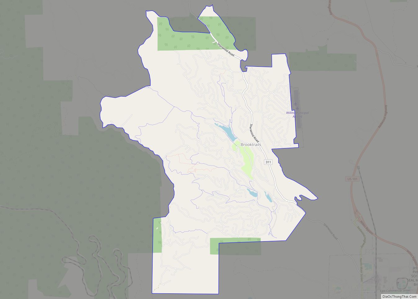
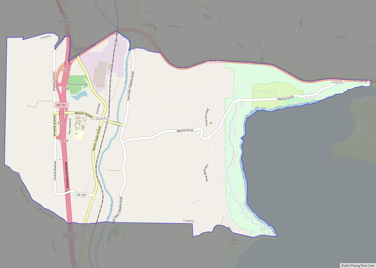
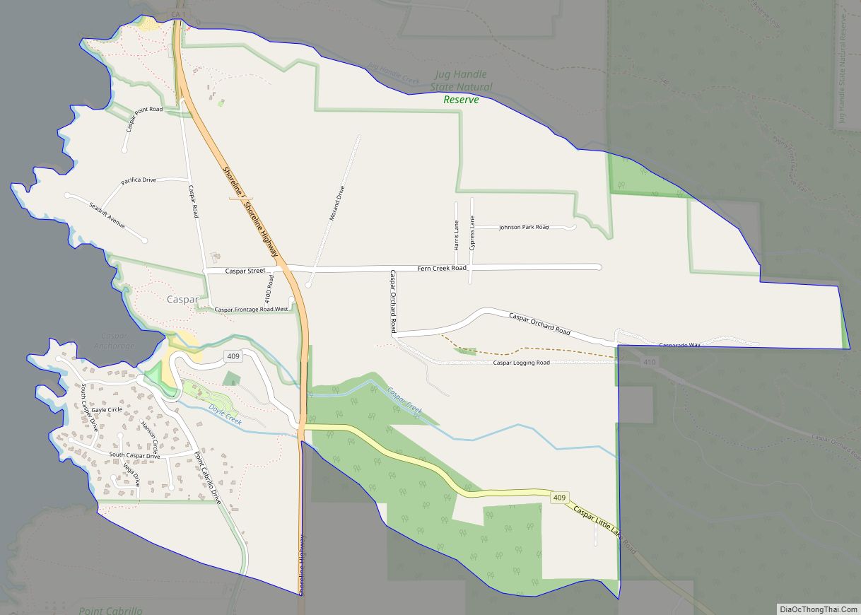
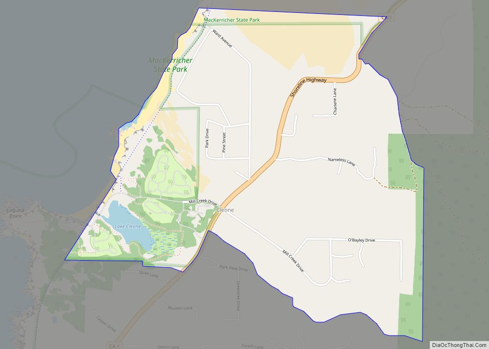
Online Interactive Map
Click on ![]() to view map in "full screen" mode.
to view map in "full screen" mode.
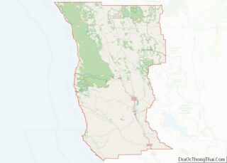
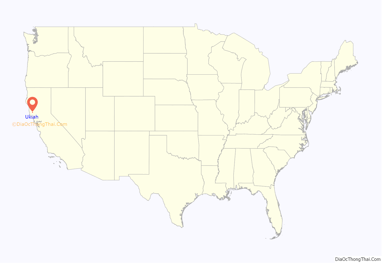
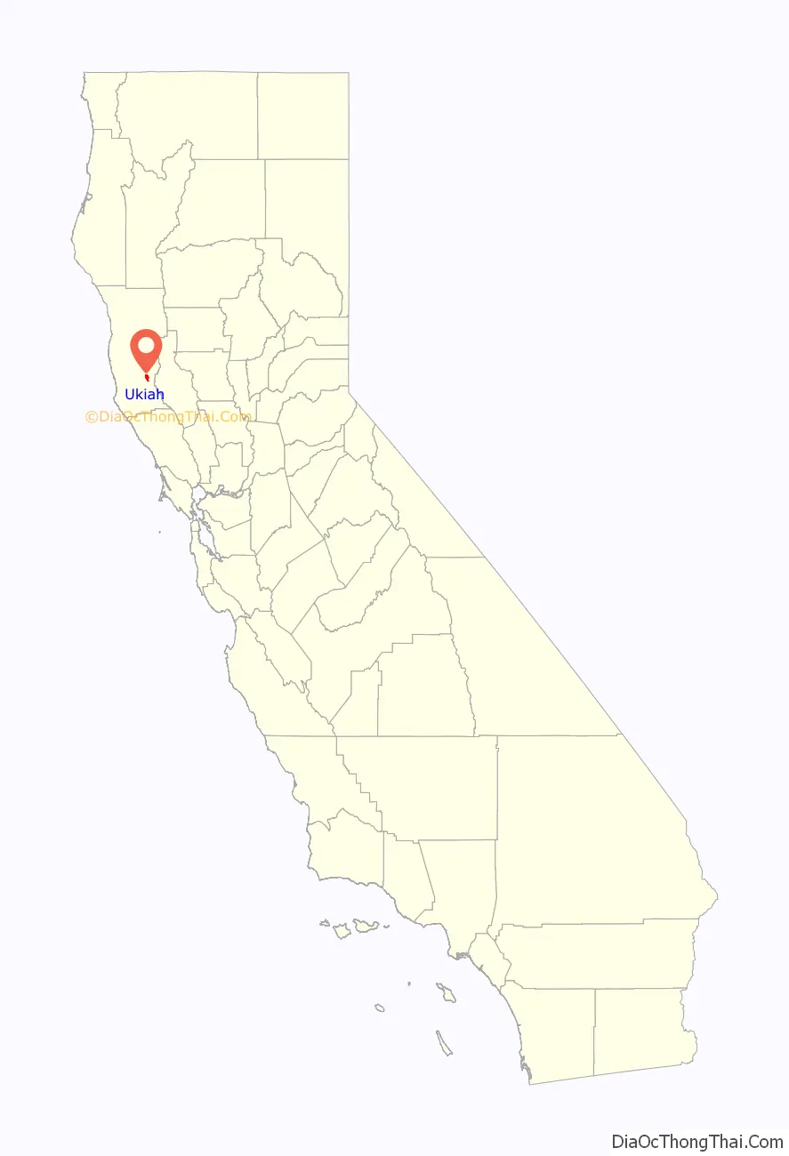
Ukiah location map. Where is Ukiah city?
History
Establishment
Ukiah is located within Rancho Yokaya, one of several Spanish colonial land grants in what their colonists called Alta California. The Yokaya grant, which covered the majority of the Ukiah valley, was named for the Pomo word meaning “deep valley.” The Pomo are the indigenous people who occupied the area at the time of Spanish colonization.
Later European-American settlers adopted “Ukiah” as an anglicized version of this name for the city.
Cayetano Juárez was granted Ukiah by Alta California. He was known to have a neutral relationship with the local Pomo people. He sold a southern portion of the grant (toward present-day Hopland) to the Burke brothers. The first Anglo settler in the Ukiah area was John Parker, a vaquero who worked for pioneer cattleman James Black. Black had driven his stock up the Russian River valley and took over a block of grazing land at that locale. A crude blockhouse was constructed for Parker so he could have shelter to protect the herd from the hostile indigenous local people, who resented the squatters on their land. The blockhouse was located just south of present-day Ukiah on the banks of what was known as Wilson Creek.
The next Anglo settler was Samuel Lowry; in 1856 he built a log cabin approximately on the corner of today’s East Perkins and North Main streets. Lowery sold his claim to A.T. Perkins in the spring of 1857, and the latter moved his family into the valley. They were the first Anglo-American pioneer family of the township. Six others followed to make their home there that same year. The first United States post office opened in 1858. By 1859, the population of Ukiah had grown to about 100 people, making it a community sufficient in size to serve as the county seat. Before this, administrative duties for Mendocino County had been handled by Sonoma County.
Initially visitors could reach town only by stagecoach, or private horses. A short rail line from San Francisco terminated in Petaluma, nearly 80 miles (130 km) to the south. In 1870 the remainder of the trip to Ukiah took another two days by horse. In subsequent years the rail line was extended further northward to Cloverdale. Although the stagecoach portion was reduced to 30 miles (48 km), the community was still relatively isolated and slow to develop.
Ukiah was incorporated in 1876. It was not until 1889 that the San Francisco and North Pacific Railroad completed its line from Cloverdale to Ukiah, linking the Mendocino County seat to the national rail network.
Economic history
Ukiah has been the hub of an agricultural and business community. Over the decades various commodity crops have been grown in the Ukiah Valley. They include pears, green beans, hops, apricots, and grapes. As part of California’s Wine Country, grapes have become the predominant agricultural product.
Hops were once a major crop grown around Ukiah. The beer flavoring agent was first grown there in 1868 when L.F. Long of Largo grew an initial experimental crop. The climate proved suitable for the crop and production expanded, peaking in 1885. It declined in the last years of the 1880s as prices dropped. Mendocino County remained the third-largest producer of hops in the state of California in 1890, with well over 900 acres (3.6 km) under cultivation. Production continued well into the 20th century. A refurbished hop kiln can be seen at the north end of Ukiah east of Highway 101, where many of the old fields were located.
Ukiah’s 20th-century population developed in relation to the lumber boom of the late 1940s. Logging of redwoods was once a major industry. Activists have worked to preserve areas of redwood forest, which became endangered due to overlogging. Young people entered the area from the 1960s, seeking alternative lifestyles and, in some cases, artisan and rural living.
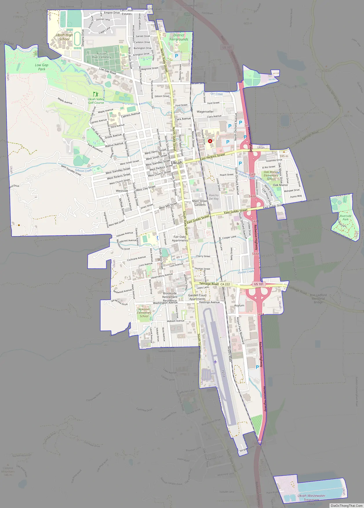
Ukiah Road Map
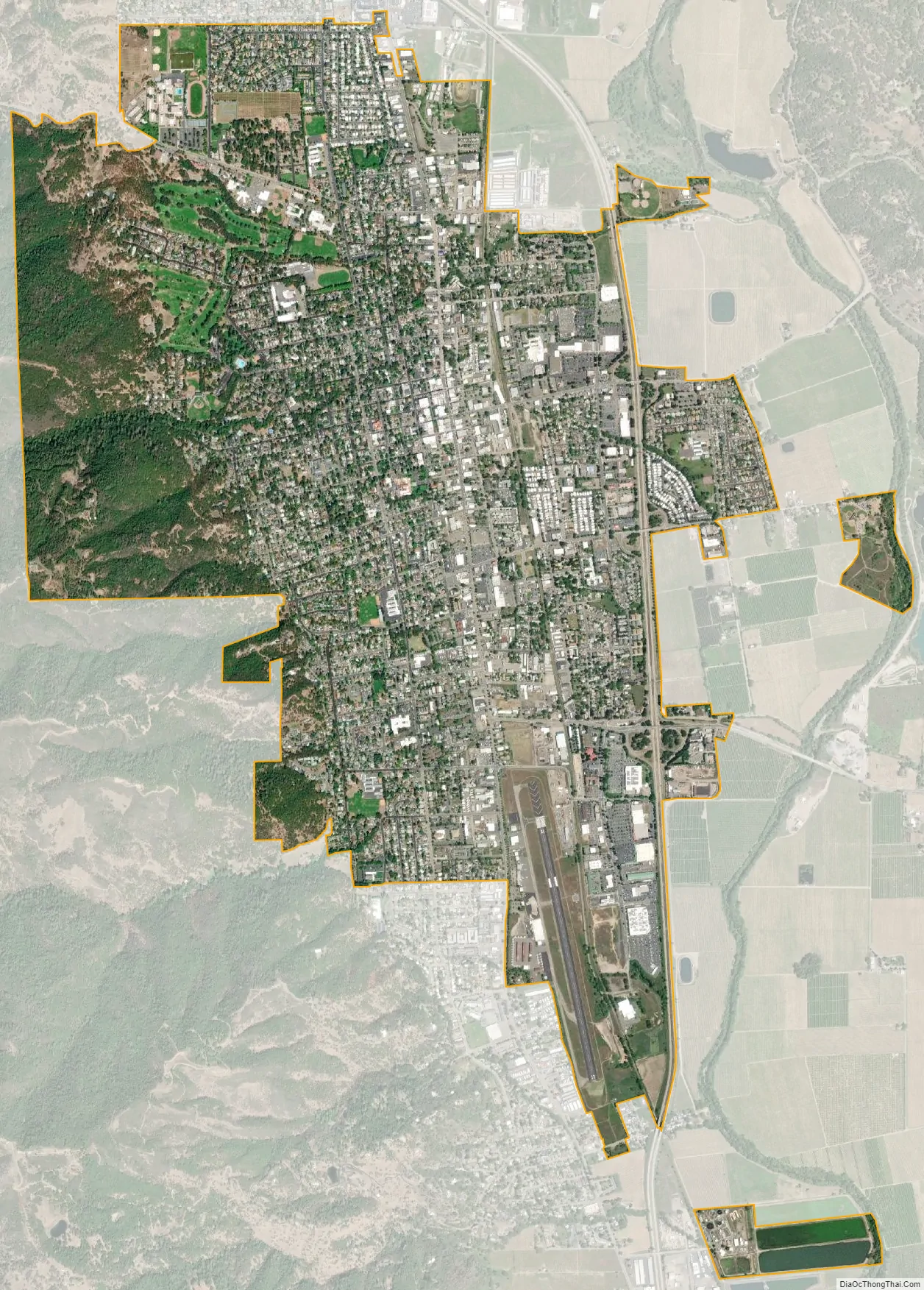
Ukiah city Satellite Map
Geography
Ukiah is in southeastern Mendocino County in the valley of the Russian River, a south-flowing river which reaches the Pacific in Sonoma County. Via U.S. Route 101, Ukiah is 60 miles (97 km) north of Santa Rosa and 158 miles (254 km) south of Eureka. According to the U.S. Census Bureau, the city covers an area of 4.8 square miles (12 km), of which 0.05 square miles (0.13 km), or 0.93%, are water.
Climate
Ukiah has a hot-summer Mediterranean climate (Köppen: Csa). Average rainfall for the area is 38.90 inches (988 mm) per year. Measurable precipitation occurs on an average of 77.1 days per year. The greatest monthly precipitation was 30.75 inches (781 mm) in January 1909 and the greatest 24-hour precipitation was 6.18 inches (157 mm) on December 22, 1964. The wettest “rain year” was from July 1997 to June 1998 with 72.74 inches (1,848 mm) and the driest from July 1976 to June 1977 with 14.20 inches (361 mm). Light snowfall occurs about every other year. The greatest recorded snowfall was 1.5 inches (38 mm) on March 2, 1976, while the most in a month was 5 inches (130 mm) in March 1896 and in January 1952. Temperatures reach 90 °F (32 °C) on an average of 61.0 afternoons annually and 100 °F (38 °C) on an average of 8.7 afternoons. Due to frequent low humidity, summer temperatures normally drop into the fifties at night. Freezing temperatures occur on an average 33.6 mornings per year. The record high temperature was 117 °F (47 °C) on September 6, 2022, and the record low temperature was 12 °F (−11 °C) on January 12, 1898.
See also
Map of California State and its subdivision:- Alameda
- Alpine
- Amador
- Butte
- Calaveras
- Colusa
- Contra Costa
- Del Norte
- El Dorado
- Fresno
- Glenn
- Humboldt
- Imperial
- Inyo
- Kern
- Kings
- Lake
- Lassen
- Los Angeles
- Madera
- Marin
- Mariposa
- Mendocino
- Merced
- Modoc
- Mono
- Monterey
- Napa
- Nevada
- Orange
- Placer
- Plumas
- Riverside
- Sacramento
- San Benito
- San Bernardino
- San Diego
- San Francisco
- San Joaquin
- San Luis Obispo
- San Mateo
- Santa Barbara
- Santa Clara
- Santa Cruz
- Shasta
- Sierra
- Siskiyou
- Solano
- Sonoma
- Stanislaus
- Sutter
- Tehama
- Trinity
- Tulare
- Tuolumne
- Ventura
- Yolo
- Yuba
- Alabama
- Alaska
- Arizona
- Arkansas
- California
- Colorado
- Connecticut
- Delaware
- District of Columbia
- Florida
- Georgia
- Hawaii
- Idaho
- Illinois
- Indiana
- Iowa
- Kansas
- Kentucky
- Louisiana
- Maine
- Maryland
- Massachusetts
- Michigan
- Minnesota
- Mississippi
- Missouri
- Montana
- Nebraska
- Nevada
- New Hampshire
- New Jersey
- New Mexico
- New York
- North Carolina
- North Dakota
- Ohio
- Oklahoma
- Oregon
- Pennsylvania
- Rhode Island
- South Carolina
- South Dakota
- Tennessee
- Texas
- Utah
- Vermont
- Virginia
- Washington
- West Virginia
- Wisconsin
- Wyoming