Clearlake is a city in Lake County, California. Clearlake is 4.5 miles (7.2 km) north-northwest of Lower Lake, at an elevation of 1,417 feet (432 m). As of the 2020 census, the city had a total population of 16,685, up from 15,250 in 2010. It takes its name from Clear Lake.
| Name: | Clearlake city |
|---|---|
| LSAD Code: | 25 |
| LSAD Description: | city (suffix) |
| State: | California |
| County: | Lake County |
| Elevation: | 1,417 ft (432 m) |
| Total Area: | 10.58 sq mi (27.40 km²) |
| Land Area: | 10.13 sq mi (26.24 km²) |
| Water Area: | 0.45 sq mi (1.17 km²) 4.27% |
| Total Population: | 16,685 |
| Population Density: | 1,647.25/sq mi (635.98/km²) |
| ZIP code: | 95422 |
| Area code: | 707 |
| FIPS code: | 0613945 |
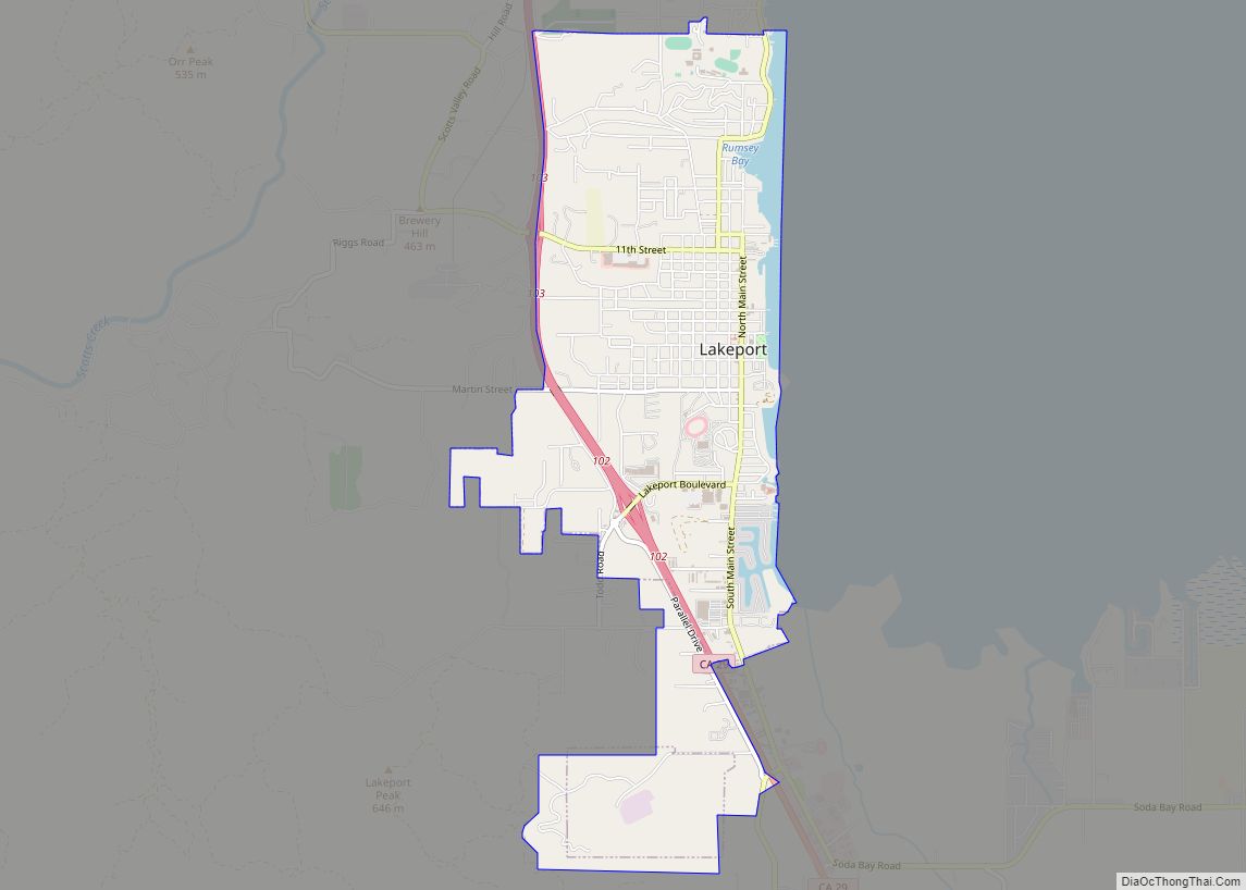
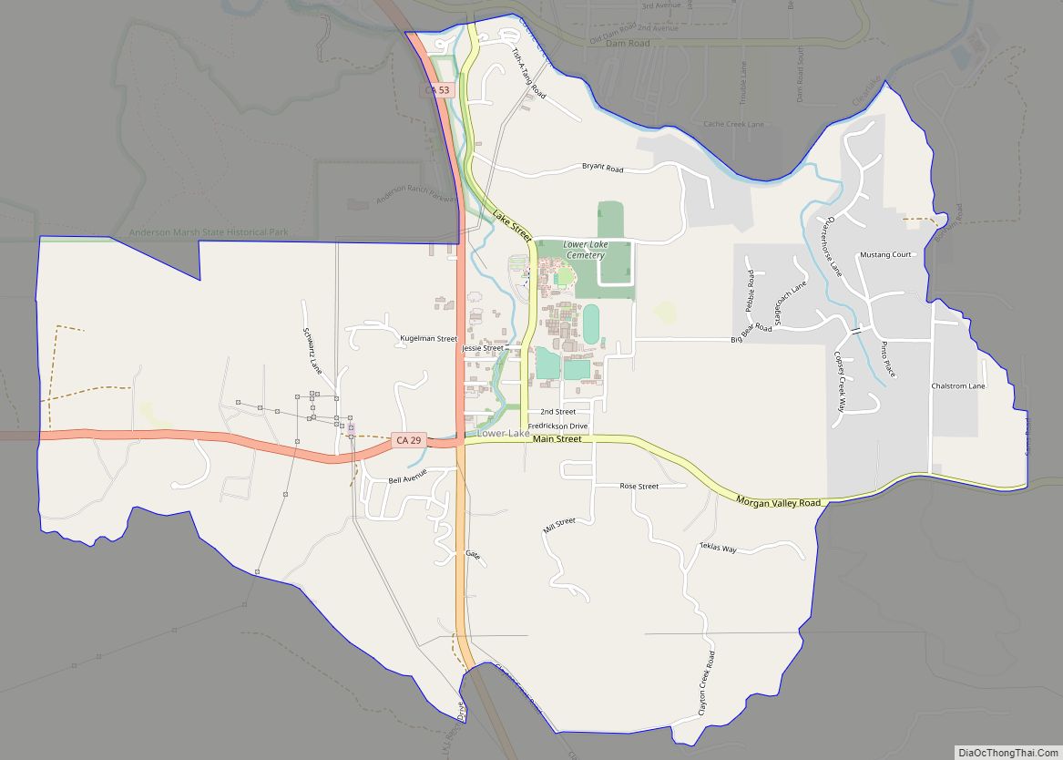
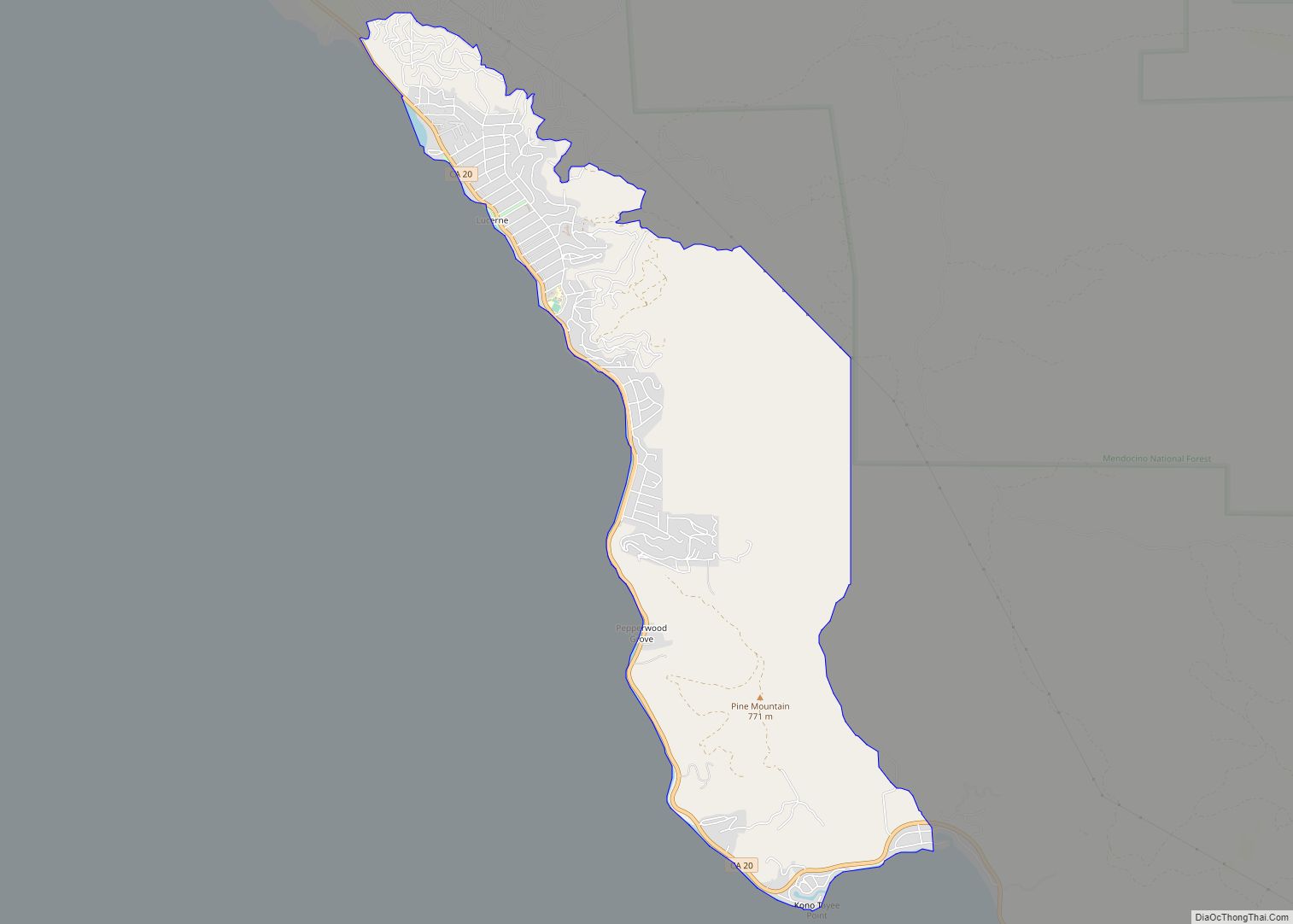
Online Interactive Map
Click on ![]() to view map in "full screen" mode.
to view map in "full screen" mode.
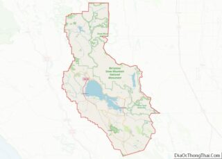
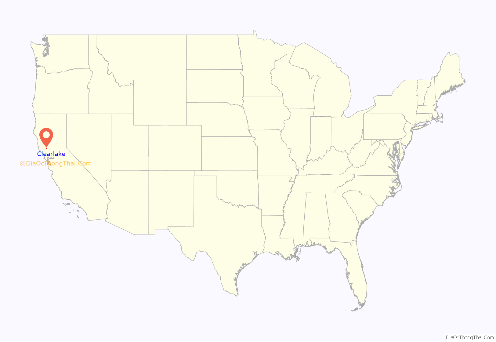
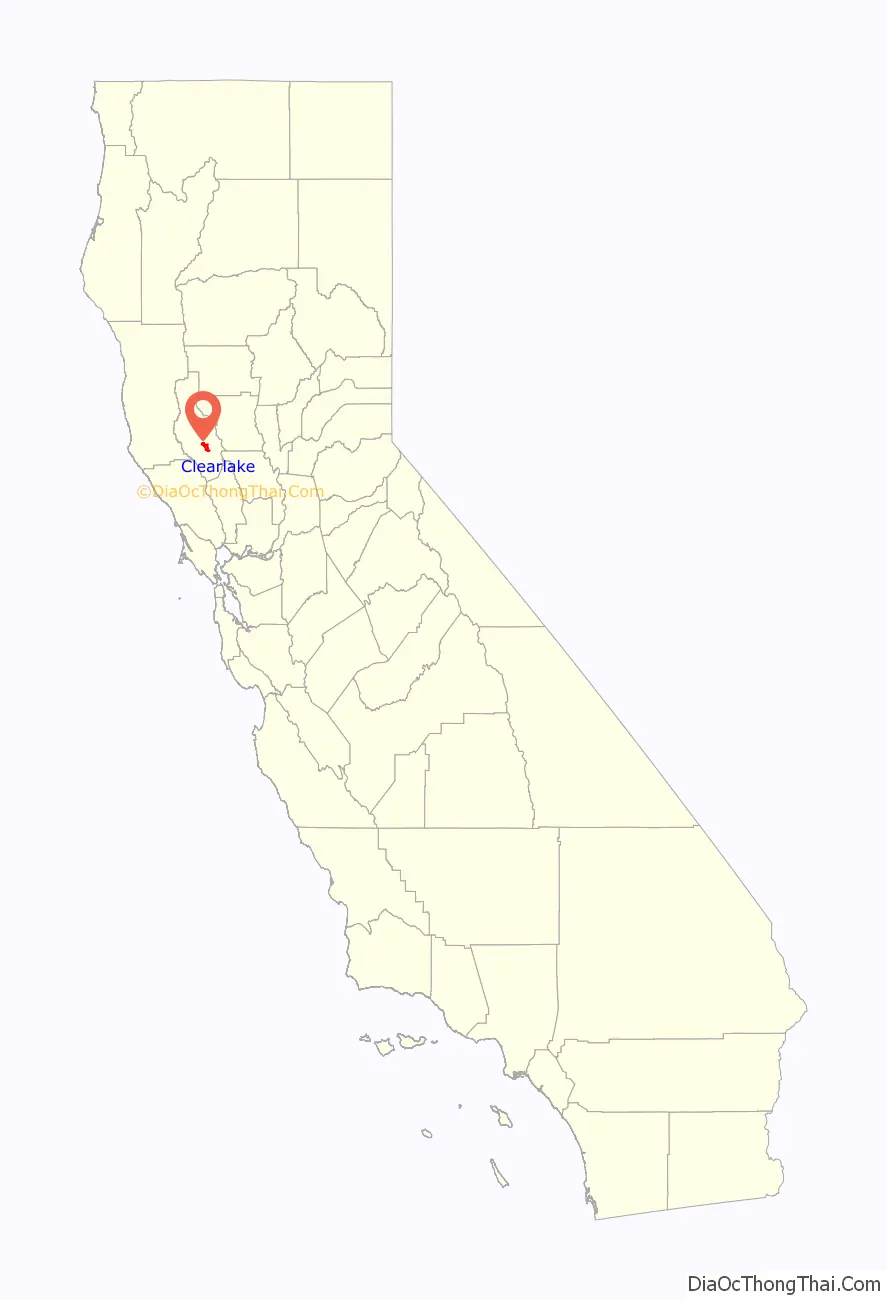
Clearlake location map. Where is Clearlake city?
History
The Clearlake post office opened in 1923, “Konocti” then Clearlake Highlands until incorporation in 1981 when the official name became City of Clearlake.
The first inhabitants of Clearlake were the Pomo Indians, who named many of the area’s features, including Mount Konocti. Beginning in 1821, enslavement and mistreatment by Spanish soldiers and missionaries, Mexican land barons, European settlers, and gold diggers, combined with a lack of natural immunity to European diseases, resulted in a massive wave of deaths. The result of this was massive amounts of land freed up for the white settlers who arrived during the gold rush.
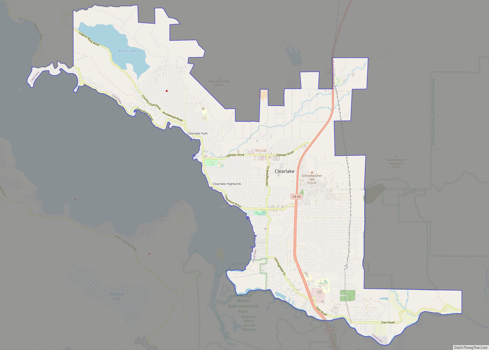
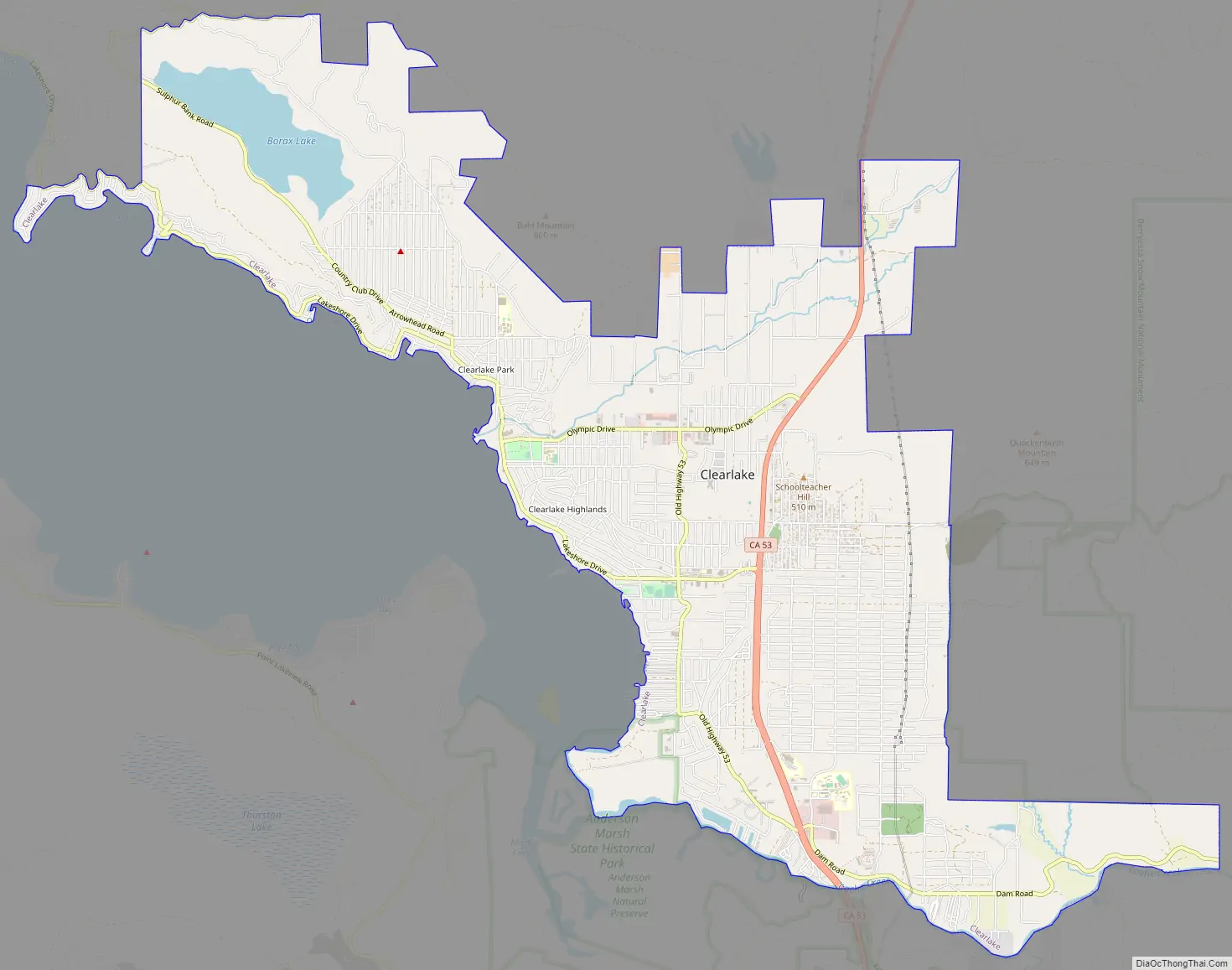
Clearlake Road Map
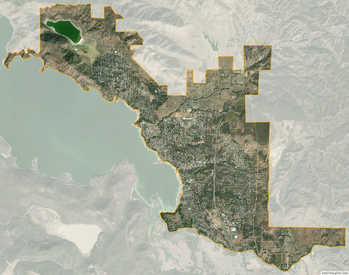
Clearlake city Satellite Map
Geography
Clearlake is located at 38°57’30” North, 122°37’35” West.
According to the United States Census Bureau, the city has a total area of 10.6 square miles (27 km), of which 10.1 square miles (26 km) is land and 0.5 square miles (1.3 km) is water. The total area is 4.27% water.
See also
Map of California State and its subdivision:- Alameda
- Alpine
- Amador
- Butte
- Calaveras
- Colusa
- Contra Costa
- Del Norte
- El Dorado
- Fresno
- Glenn
- Humboldt
- Imperial
- Inyo
- Kern
- Kings
- Lake
- Lassen
- Los Angeles
- Madera
- Marin
- Mariposa
- Mendocino
- Merced
- Modoc
- Mono
- Monterey
- Napa
- Nevada
- Orange
- Placer
- Plumas
- Riverside
- Sacramento
- San Benito
- San Bernardino
- San Diego
- San Francisco
- San Joaquin
- San Luis Obispo
- San Mateo
- Santa Barbara
- Santa Clara
- Santa Cruz
- Shasta
- Sierra
- Siskiyou
- Solano
- Sonoma
- Stanislaus
- Sutter
- Tehama
- Trinity
- Tulare
- Tuolumne
- Ventura
- Yolo
- Yuba
- Alabama
- Alaska
- Arizona
- Arkansas
- California
- Colorado
- Connecticut
- Delaware
- District of Columbia
- Florida
- Georgia
- Hawaii
- Idaho
- Illinois
- Indiana
- Iowa
- Kansas
- Kentucky
- Louisiana
- Maine
- Maryland
- Massachusetts
- Michigan
- Minnesota
- Mississippi
- Missouri
- Montana
- Nebraska
- Nevada
- New Hampshire
- New Jersey
- New Mexico
- New York
- North Carolina
- North Dakota
- Ohio
- Oklahoma
- Oregon
- Pennsylvania
- Rhode Island
- South Carolina
- South Dakota
- Tennessee
- Texas
- Utah
- Vermont
- Virginia
- Washington
- West Virginia
- Wisconsin
- Wyoming