Upton is a home rule-class city in Hardin and LaRue counties in the U.S. state of Kentucky. The population was 683 at the 2010 census. Its entire area is included in the Elizabethtown–Fort Knox Metropolitan Statistical Area.
| Name: | Upton city |
|---|---|
| LSAD Code: | 25 |
| LSAD Description: | city (suffix) |
| State: | Kentucky |
| County: | Hardin County, Larue County |
| Elevation: | 748 ft (228 m) |
| Total Area: | 1.36 sq mi (3.53 km²) |
| Land Area: | 1.36 sq mi (3.52 km²) |
| Water Area: | 0.01 sq mi (0.01 km²) |
| Total Population: | 704 |
| Population Density: | 518.41/sq mi (200.21/km²) |
| ZIP code: | 42784 |
| Area code: | 270 & 364 |
| FIPS code: | 2178672 |
| GNISfeature ID: | 0505924 |
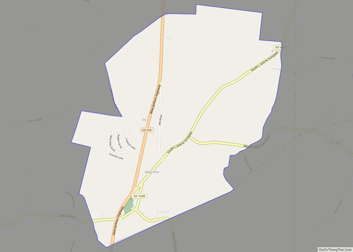
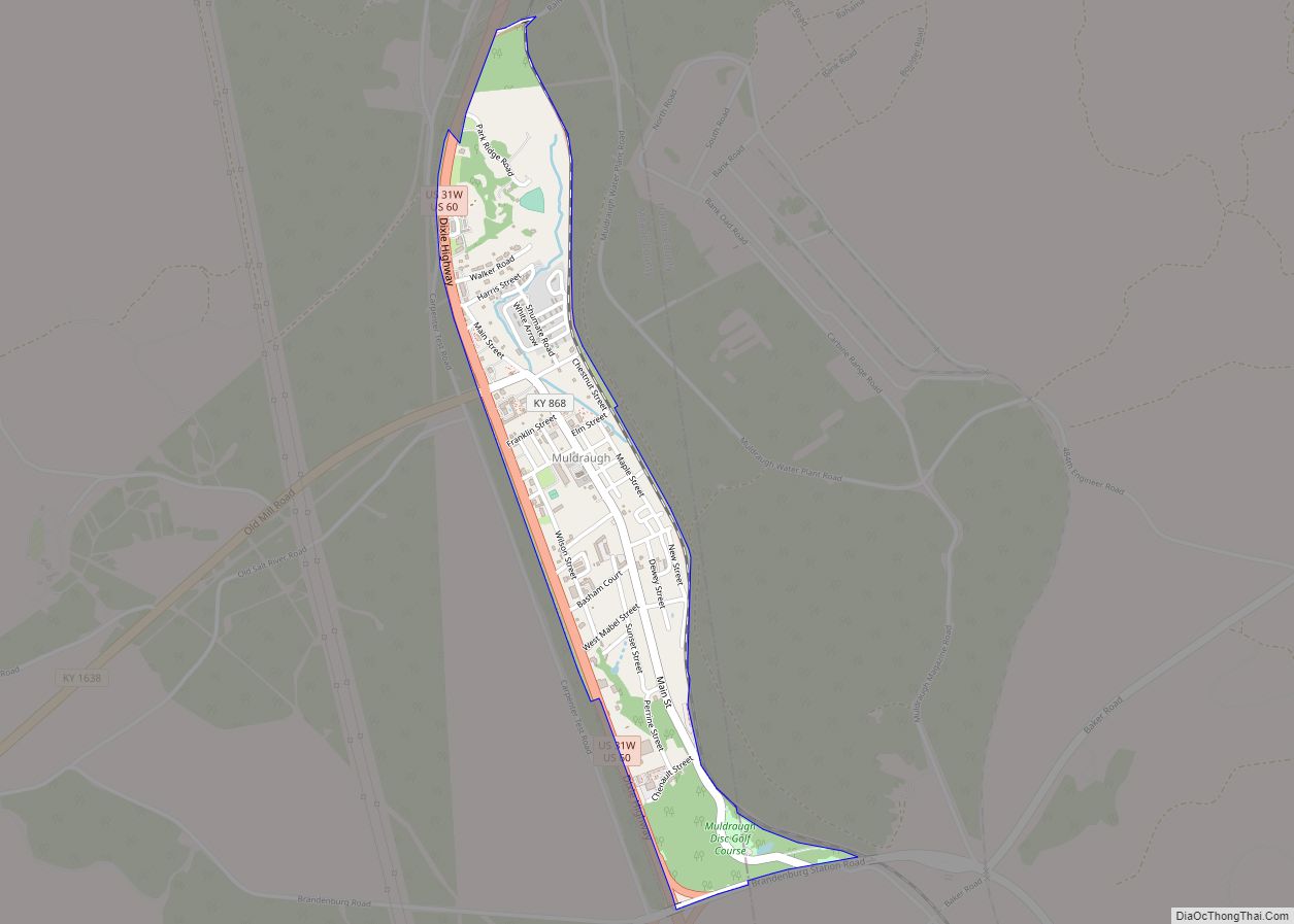
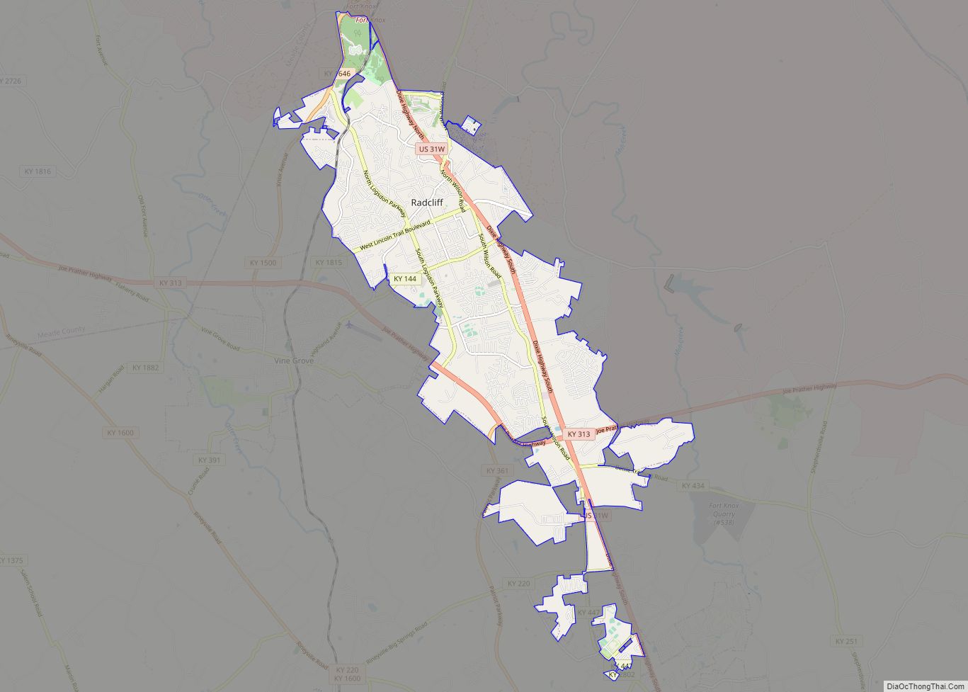
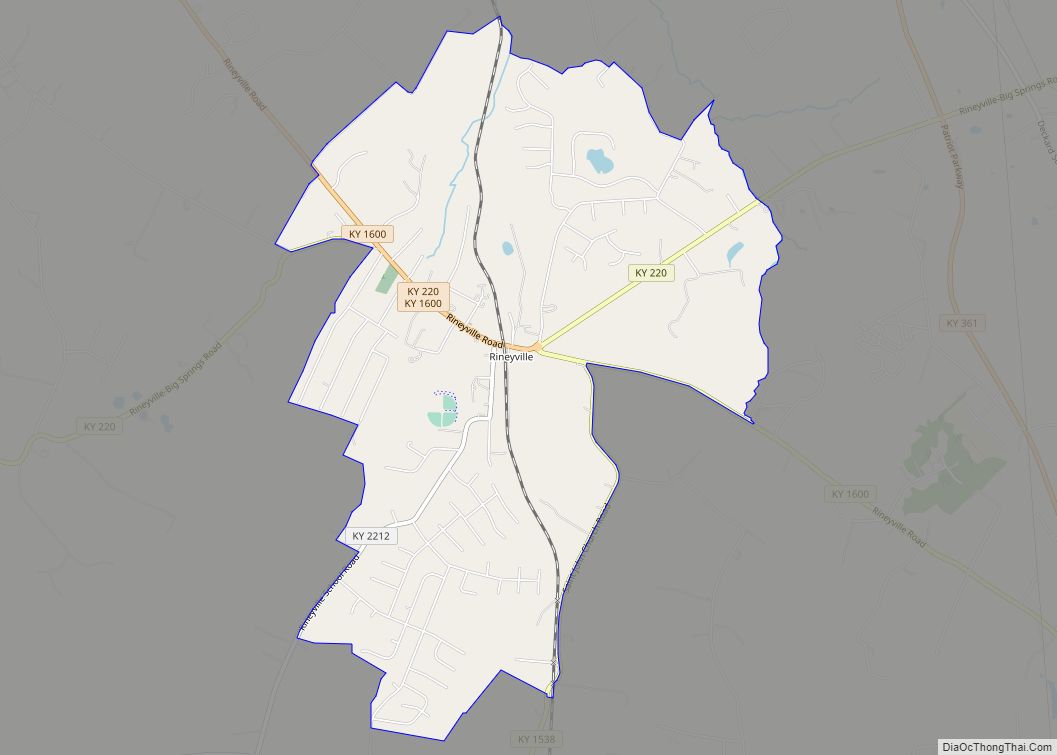
Online Interactive Map
Click on ![]() to view map in "full screen" mode.
to view map in "full screen" mode.
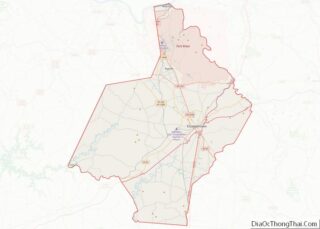
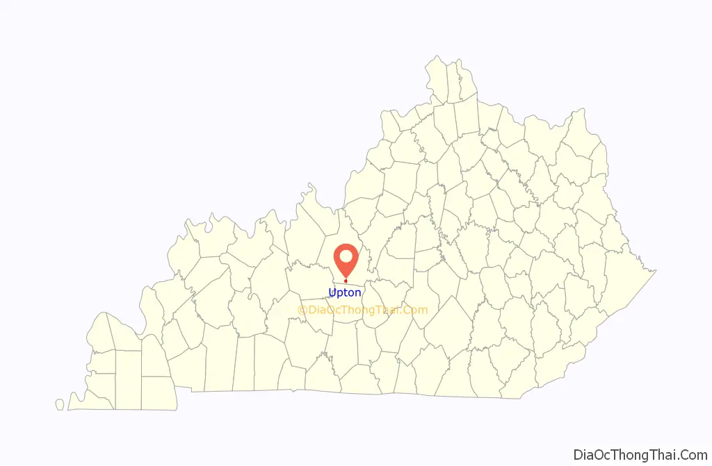
Upton location map. Where is Upton city?

History
Upton was founded in 1841, and was initially known as “Leesville.” It was renamed in 1856 in honor of George Washington Upton, who had helped develop the area as a stop along the L&N Railroad.
Upton was one of the targets of Confederate John Hunt Morgan during the Civil War. Upton was on the L&N Railroad, one of the key north-south railroads for the Union. The train station and nearby bridges were attacked during the day on December 26, 1862. The Union forces were quickly defeated and Morgan took advantage of the telegraph station in Upton to gather intelligence on Union troop disposition. Morgan then left Upton to destroy bridges at nearby Bacon Creek in Bonnieville and on the Nolin River.
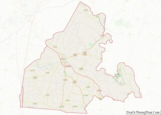
Upton Road Map

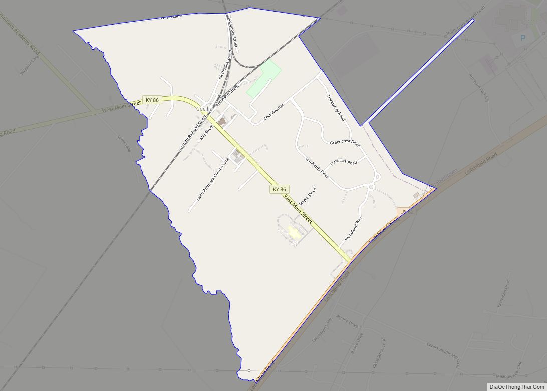
Upton city Satellite Map

Geography
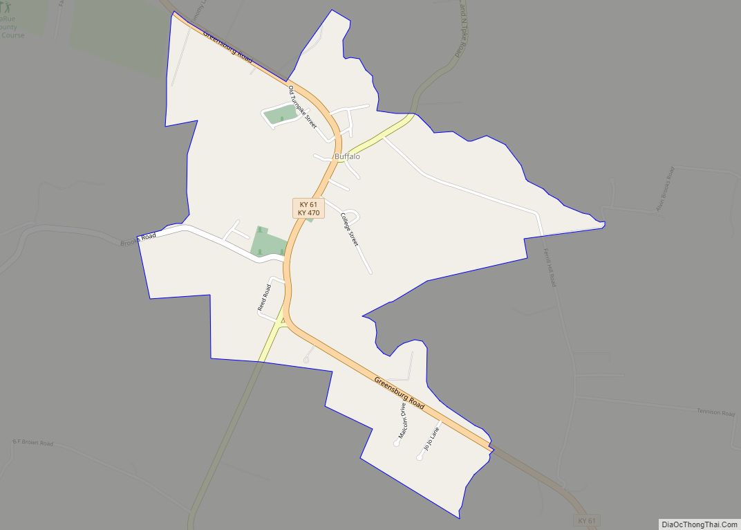
Upton is located on the Hardin County/LaRue County line at 37°27′44″N 85°53′43″W / 37.46222°N 85.89528°W / 37.46222; -85.89528 (37.462175, -85.895335), near the southeast and southwest corners, respectively, of the two counties. U.S. Route 31W passes through the center of the city and follows the county line. The two-lane highway leads north 4 miles (6 km) to Sonora and south 6 miles (10 km) to Bonnieville. Much of Upton is concentrated around the intersection of US 31W and Kentucky Route 224, which runs westward in the direction of Leitchfield. Interstate 65 runs along Upton’s eastern boundary, with access from Exit 76. I-65 leads north 17 miles (27 km) to Elizabethtown, the Hardin County seat, and south 24 miles (39 km) to Cave City.
According to the United States Census Bureau, Upton has a total area of 1.4 square miles (3.5 km), of which 0.004 square miles (0.01 km), or 0.35%, are water.
See also
Map of Kentucky State and its subdivision:- Adair
- Allen
- Anderson
- Ballard
- Barren
- Bath
- Bell
- Boone
- Bourbon
- Boyd
- Boyle
- Bracken
- Breathitt
- Breckinridge
- Bullitt
- Butler
- Caldwell
- Calloway
- Campbell
- Carlisle
- Carroll
- Carter
- Casey
- Christian
- Clark
- Clay
- Clinton
- Crittenden
- Cumberland
- Daviess
- Edmonson
- Elliott
- Estill
- Fayette
- Fleming
- Floyd
- Franklin
- Fulton
- Gallatin
- Garrard
- Grant
- Graves
- Grayson
- Green
- Greenup
- Hancock
- Hardin
- Harlan
- Harrison
- Hart
- Henderson
- Henry
- Hickman
- Hopkins
- Jackson
- Jefferson
- Jessamine
- Johnson
- Kenton
- Knott
- Knox
- Larue
- Laurel
- Lawrence
- Lee
- Leslie
- Letcher
- Lewis
- Lincoln
- Livingston
- Logan
- Lyon
- Madison
- Magoffin
- Marion
- Marshall
- Martin
- Mason
- McCracken
- McCreary
- McLean
- Meade
- Menifee
- Mercer
- Metcalfe
- Monroe
- Montgomery
- Morgan
- Muhlenberg
- Nelson
- Nicholas
- Ohio
- Oldham
- Owen
- Owsley
- Pendleton
- Perry
- Pike
- Powell
- Pulaski
- Robertson
- Rockcastle
- Rowan
- Russell
- Scott
- Shelby
- Simpson
- Spencer
- Taylor
- Todd
- Trigg
- Trimble
- Union
- Warren
- Washington
- Wayne
- Webster
- Whitley
- Wolfe
- Woodford
- Alabama
- Alaska
- Arizona
- Arkansas
- California
- Colorado
- Connecticut
- Delaware
- District of Columbia
- Florida
- Georgia
- Hawaii
- Idaho
- Illinois
- Indiana
- Iowa
- Kansas
- Kentucky
- Louisiana
- Maine
- Maryland
- Massachusetts
- Michigan
- Minnesota
- Mississippi
- Missouri
- Montana
- Nebraska
- Nevada
- New Hampshire
- New Jersey
- New Mexico
- New York
- North Carolina
- North Dakota
- Ohio
- Oklahoma
- Oregon
- Pennsylvania
- Rhode Island
- South Carolina
- South Dakota
- Tennessee
- Texas
- Utah
- Vermont
- Virginia
- Washington
- West Virginia
- Wisconsin
- Wyoming