La Grange is a city in Lewis County, Missouri, United States. The population was 825 at the 2020 census. Since the 1960 census, the population has been dwindling. It is part of the Quincy, IL–MO Micropolitan Statistical Area.
| Name: | La Grange city |
|---|---|
| LSAD Code: | 25 |
| LSAD Description: | city (suffix) |
| State: | Missouri |
| County: | Lewis County |
| Elevation: | 597 ft (182 m) |
| Total Area: | 1.86 sq mi (4.81 km²) |
| Land Area: | 1.56 sq mi (4.03 km²) |
| Water Area: | 0.30 sq mi (0.78 km²) |
| Total Population: | 825 |
| Population Density: | 530.21/sq mi (204.69/km²) |
| ZIP code: | 63448 |
| Area code: | 655 |
| FIPS code: | 2939764 |
| GNISfeature ID: | 2395565 |
| Website: | cityoflagrangemo.gov |
Online Interactive Map
Click on ![]() to view map in "full screen" mode.
to view map in "full screen" mode.
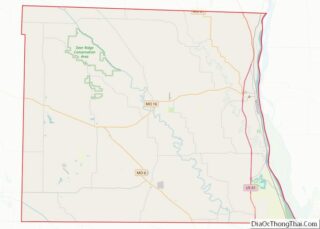
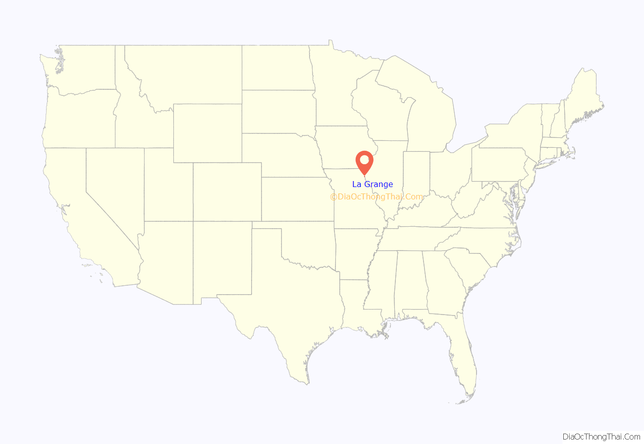
La Grange location map. Where is La Grange city?

History
La Grange was founded in 1830. A post office called La Grange has been in operation since 1833.
In 1885, the Supreme Court ruled against the city in Cole v. La Grange. The court found that the city could only use eminent domain powers for public purposes and not to specifically benefit the La Grange Iron and Steel Company.
In 1858 the Southern Baptists opened the LaGrange Male and Female Seminary. It later became LaGrange College, with a two-year junior college program.
In 1928 it moved to Hannibal as Hannibal–LaGrange College (now Hannibal–LaGrange University).
In 2001, the Mark Twain Casino opened in a stationary riverboat.
The First Presbyterian Church, William Gray House, Dr. J.A. Hay House, Joseph Hipkins House, John McKoon House, Fred Rhoda House, and A.C. Waltman House are listed on the National Register of Historic Places.
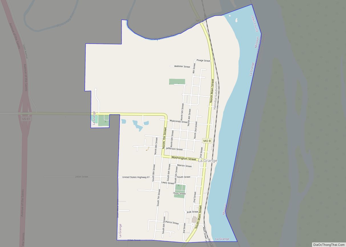
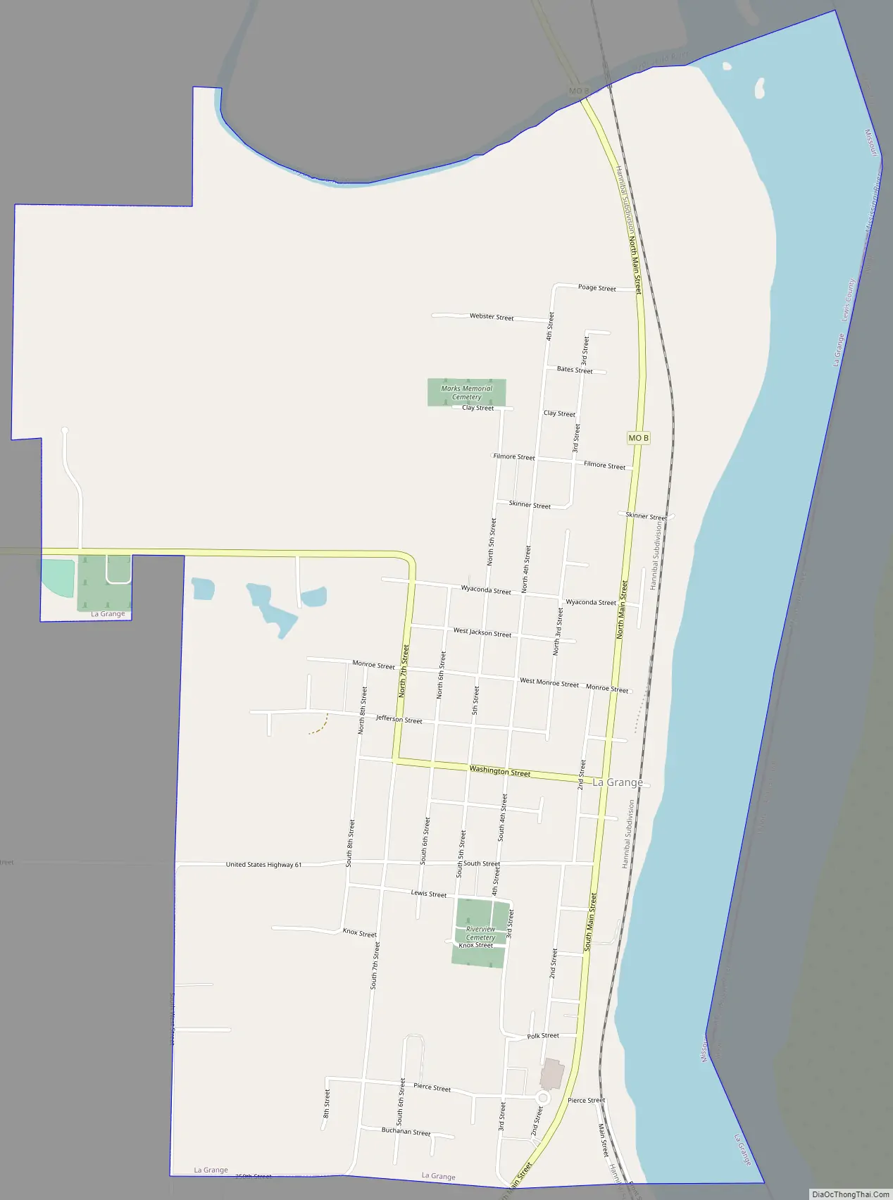
La Grange Road Map
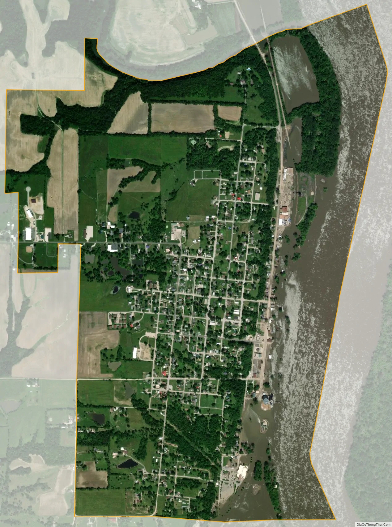
La Grange city Satellite Map
Geography
La Grange is located at 40°2′32″N 91°30′2″W / 40.04222°N 91.50056°W / 40.04222; -91.50056 (40.042347, -91.500440). According to the United States Census Bureau, the city has a total area of 1.86 square miles (4.82 km), of which 1.56 square miles (4.04 km) is land and 0.30 square miles (0.78 km) is water.
See also
Map of Missouri State and its subdivision:- Adair
- Andrew
- Atchison
- Audrain
- Barry
- Barton
- Bates
- Benton
- Bollinger
- Boone
- Buchanan
- Butler
- Caldwell
- Callaway
- Camden
- Cape Girardeau
- Carroll
- Carter
- Cass
- Cedar
- Chariton
- Christian
- Clark
- Clay
- Clinton
- Cole
- Cooper
- Crawford
- Dade
- Dallas
- Daviess
- De Kalb
- Dent
- Douglas
- Dunklin
- Franklin
- Gasconade
- Gentry
- Greene
- Grundy
- Harrison
- Henry
- Hickory
- Holt
- Howard
- Howell
- Iron
- Jackson
- Jasper
- Jefferson
- Johnson
- Knox
- Laclede
- Lafayette
- Lawrence
- Lewis
- Lincoln
- Linn
- Livingston
- Macon
- Madison
- Maries
- Marion
- McDonald
- Mercer
- Miller
- Mississippi
- Moniteau
- Monroe
- Montgomery
- Morgan
- New Madrid
- Newton
- Nodaway
- Oregon
- Osage
- Ozark
- Pemiscot
- Perry
- Pettis
- Phelps
- Pike
- Platte
- Polk
- Pulaski
- Putnam
- Ralls
- Randolph
- Ray
- Reynolds
- Ripley
- Saint Charles
- Saint Clair
- Saint Francois
- Saint Louis
- Sainte Genevieve
- Saline
- Schuyler
- Scotland
- Scott
- Shannon
- Shelby
- Stoddard
- Stone
- Sullivan
- Taney
- Texas
- Vernon
- Warren
- Washington
- Wayne
- Webster
- Worth
- Wright
- Alabama
- Alaska
- Arizona
- Arkansas
- California
- Colorado
- Connecticut
- Delaware
- District of Columbia
- Florida
- Georgia
- Hawaii
- Idaho
- Illinois
- Indiana
- Iowa
- Kansas
- Kentucky
- Louisiana
- Maine
- Maryland
- Massachusetts
- Michigan
- Minnesota
- Mississippi
- Missouri
- Montana
- Nebraska
- Nevada
- New Hampshire
- New Jersey
- New Mexico
- New York
- North Carolina
- North Dakota
- Ohio
- Oklahoma
- Oregon
- Pennsylvania
- Rhode Island
- South Carolina
- South Dakota
- Tennessee
- Texas
- Utah
- Vermont
- Virginia
- Washington
- West Virginia
- Wisconsin
- Wyoming