Lexington is the largest town in and the county seat of Lexington County, South Carolina, United States. It is a suburb of the state capital, Columbia. The population was 23,568 at the 2020 Census, and it is the second-largest municipality in the greater Columbia area. The 2021 estimated population is 24,208. According to the Central Midlands Council of Governments, the greater Lexington area had an estimated population of 111,549 in 2020 and is considered the fastest-growing area in the Midlands. Lexington’s town limits are bordered to the east by the city of West Columbia.
| Name: | Lexington town |
|---|---|
| LSAD Code: | 43 |
| LSAD Description: | town (suffix) |
| State: | South Carolina |
| County: | Lexington County |
| Elevation: | 394 ft (120 m) |
| Total Area: | 12.12 sq mi (31.38 km²) |
| Land Area: | 11.97 sq mi (31.00 km²) |
| Water Area: | 0.14 sq mi (0.38 km²) |
| Total Population: | 23,568 |
| Population Density: | 1,968.92/sq mi (760.19/km²) |
| ZIP code: | 29071, 29072, 29073 |
| Area code: | 803, 839 |
| FIPS code: | 4541335 |
| GNISfeature ID: | 1246349 |
| Website: | www.lexsc.com |
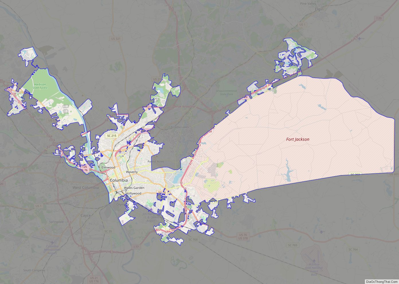
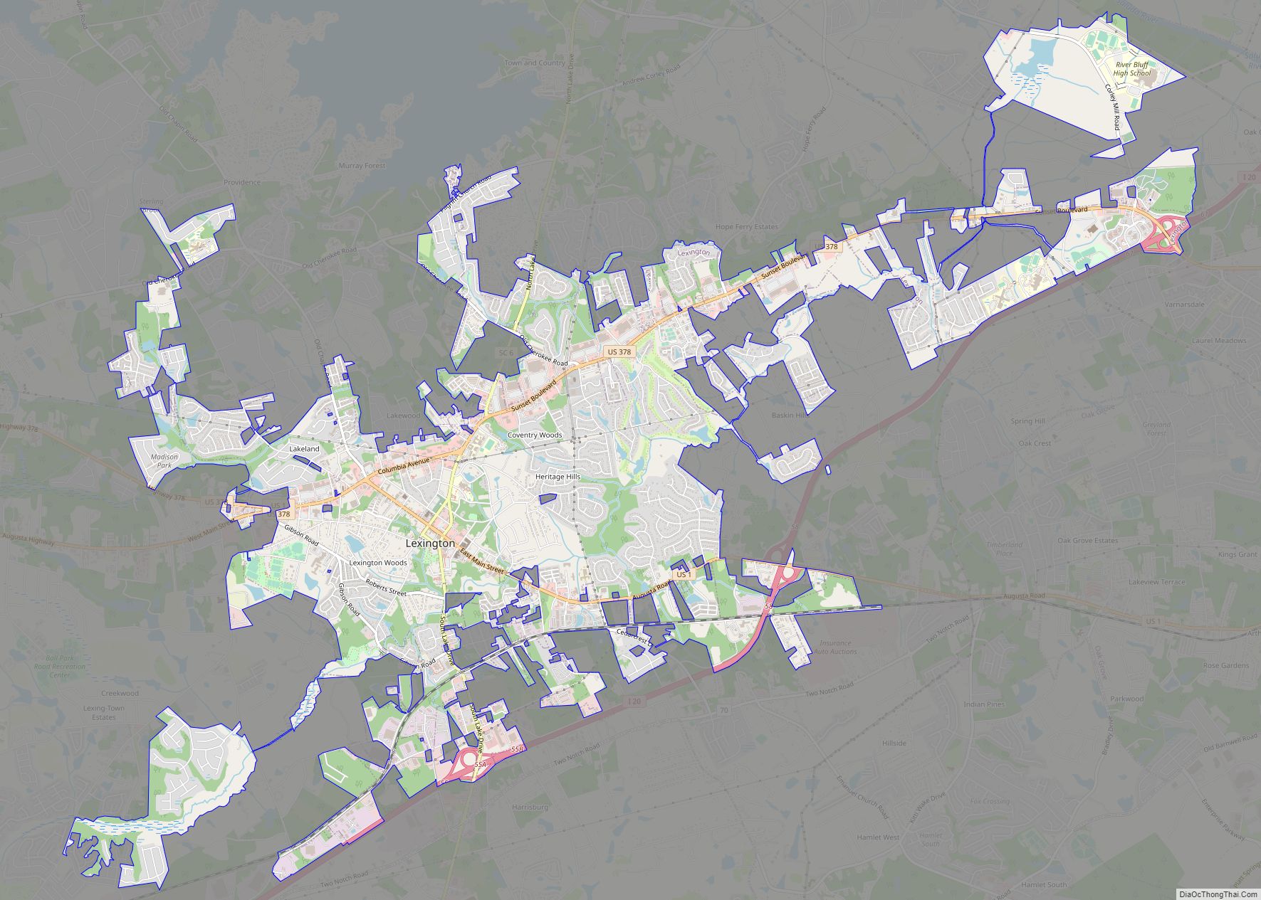
Online Interactive Map
Click on ![]() to view map in "full screen" mode.
to view map in "full screen" mode.
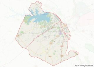
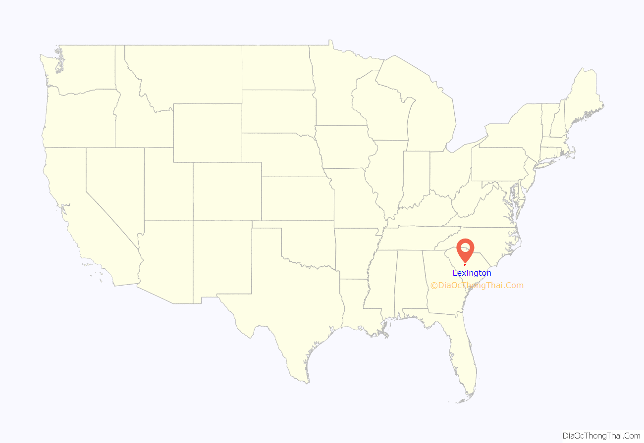
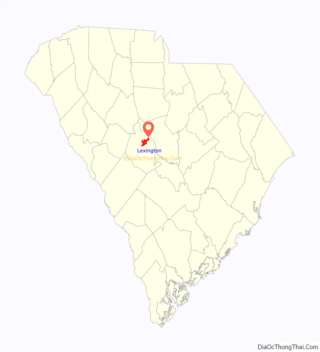
Lexington location map. Where is Lexington town?
History
Colonial Period
In 1735, the colonial government of King George II established 11 townships in backcountry South Carolina to encourage settlement and to provide a buffer between Native American tribes to the west and colonial plantations in the Lowcountry. The townships included one named Saxe Gotha, which flourished with major crops of corn, wheat, tobacco, hemp, and flax as well as beeswax and livestock, and its residents were primarily of German and Swiss heritage. Two major Native American trails existed in the area: the Cherokee Path, primary route of English and Scots traders from Charlestown to Native Americans in the Appalachian Mountains, and the Occaneechi Path, which connected natives from the Chesapeake Bay region to North Carolina, South Carolina, and Georgia.
In 1785, the name Saxe Gotha was replaced with Lexington County, in commemoration of the Battles of Lexington and Concord in Massachusetts. In 1781, the Battle of Muddy Springs was fought to the south of the present-day town and the Battle of Tarrar Springs was fought within the present-day town limits.
Post-revolution
Until 1820, Granby was the county seat of Lexington County, but chronic flooding forced the local government to move the courthouse to its present location in Lexington. The area was known by locals as the “Lexington Courthouse” and was not incorporated as the Town of Lexington until 1861.
During Sherman’s March to the Sea in the American Civil War, much of the town of Lexington was destroyed by Union forces as they protected William Sherman’s western flank as Union troops attacked Columbia. Most of the town of Lexington, including the courthouse, were torched and burned. Like much of the South after the Civil War, Lexington struggled economically, but local farms and the lumber industry helped stabilize the economy after Reconstruction. Many current brick buildings were built in the aftermath of severe fires in 1894 and 1916. By the 1890s, the Columbia to Augusta Railroad and the Lexington Textile Mill prompted the town to grow.
With the advent of the automobile in the 1920s and its mass production in the 1940s and 1950s, Lexington continued to grow as a suburb of Columbia. Additionally, the creation of Lake Murray in 1930 encouraged many to move to Lexington. Between the 1990 Census and the 2000 Census, Lexington’s population increased by 198%, and by 83% between the 2000 Census and the 2010 Census.
Recent history
The “move over law”, a law that requires drivers to change lanes when there is a stopped emergency vehicle on the side of the road, originated in Lexington. James D. Garcia, a paramedic, was struck and injured at an accident scene on January 28, 1994 after attempting to assist a driver that had slid off of the road. The South Carolina Highway Patrol listed Garcia at fault, leading to his work to create this law. The South Carolina General Assembly passed the “move over law” (SC 56-5-1538) 1996 and was revised in 2002 to increase the ease of enforcement and fines. A version of the “move over law” is now in effect in all fifty U.S. states and the District of Columbia; Hawaii was the last to pass legislation in 2012.
On August 16, 1994, Lexington was struck by an F-3 tornado, generated from the remnants of Tropical Storm Beryl, resulting in over 40 injuries and $50 million in damages. From the same tropical storm, 21 other tornados were reported throughout the state, including six in Lexington County.
A Murphy Express gas station on Augusta Highway in Lexington sold a $400 million winning Powerball ticket on September 18, 2013. At the time, it was the fifth largest winning ticket of any United States lottery.
In 2014, Timothy Jones Jr. of Red Bank, a neighborhood of Lexington, murdered his five children in their mobile home. Jones was found guilty in 2019 and sentenced to death. He is currently awaiting execution on death row.
In 2015, remnants from Hurricane Joaquin brought historic flooding to South Carolina. In Lexington, extreme flooding resulted in the destruction of Gibson Park Dam, which led to the subsequent failure of the Old Mill Dam. Gibson Park Dam (pictured right) was reconstructed and opened to the public in 2021; Old Mill Dam was reconstructed in 2022. The flooding additionally resulted in the destruction of several roads and businesses in the town.
National Register of Historic Places
Buildings listed on the National Register of Historic Places include:
- The Ballentine-Shealy House
- Bank of Western Carolina
- W. Q. M. Berly House
- William Berly House
- Lemuel Boozer House
- C.E. Corley House
- Fox House
- Gunter-Summers House
- James Harman Building
- Ernest L. Hazelius House
- John Solomon Hendrix House
- John Jacob Hite Farm
- Home National Bank
- Lexington County Courthouse
- Henry Lybrand Farm
- Maj. Henry A. Meetze House
- Old Batesburg-Leesville High School
- Charlton Rauch House
- David Rawl House
- Simmons-Harth House
- James Stewart House
- Vastine Wessinger House
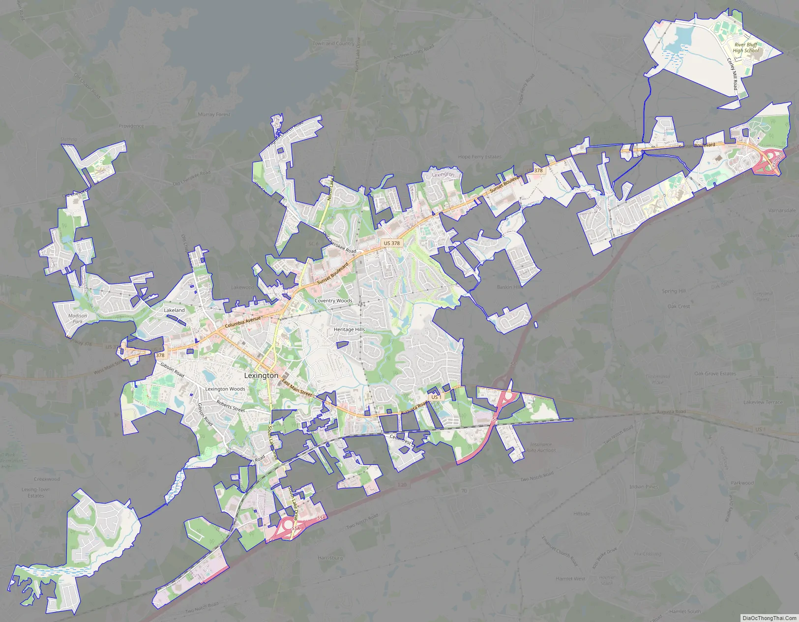
Lexington Road Map
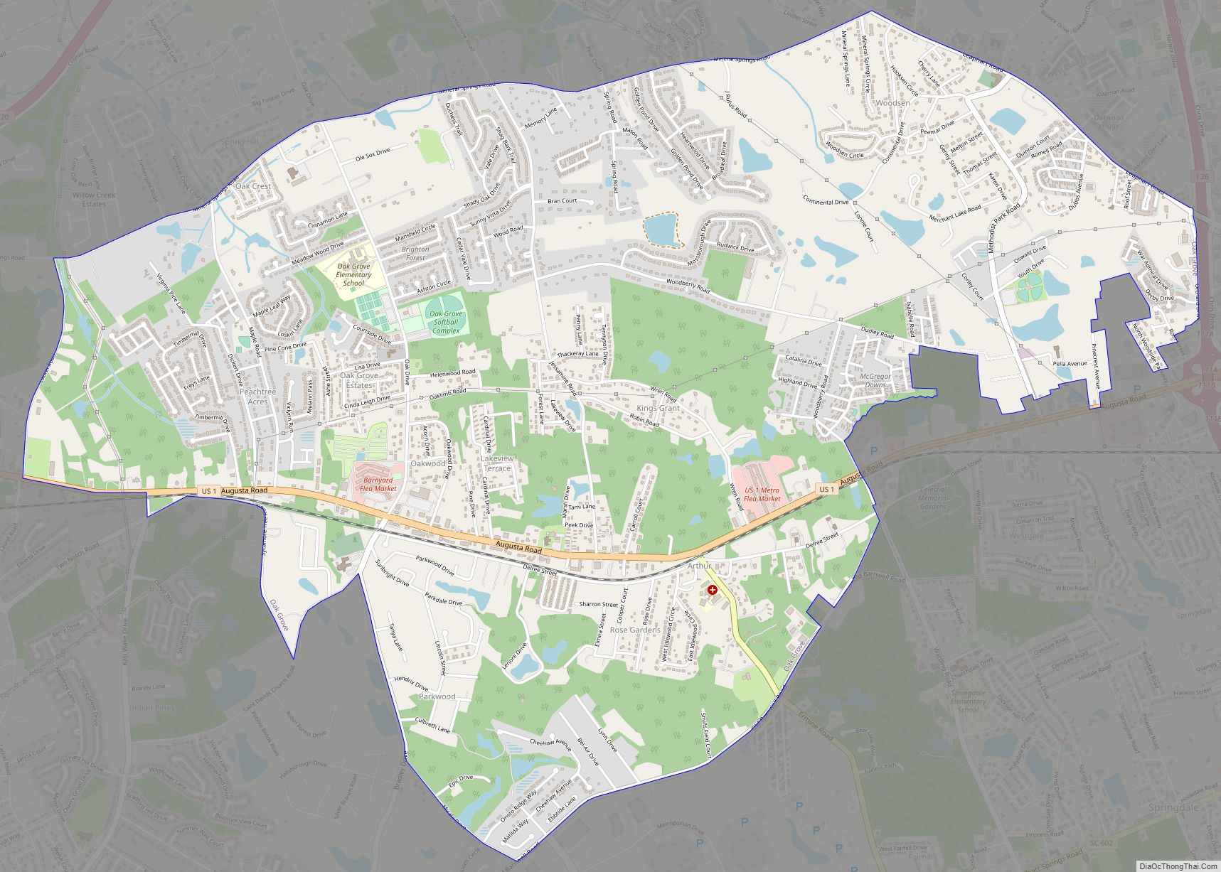
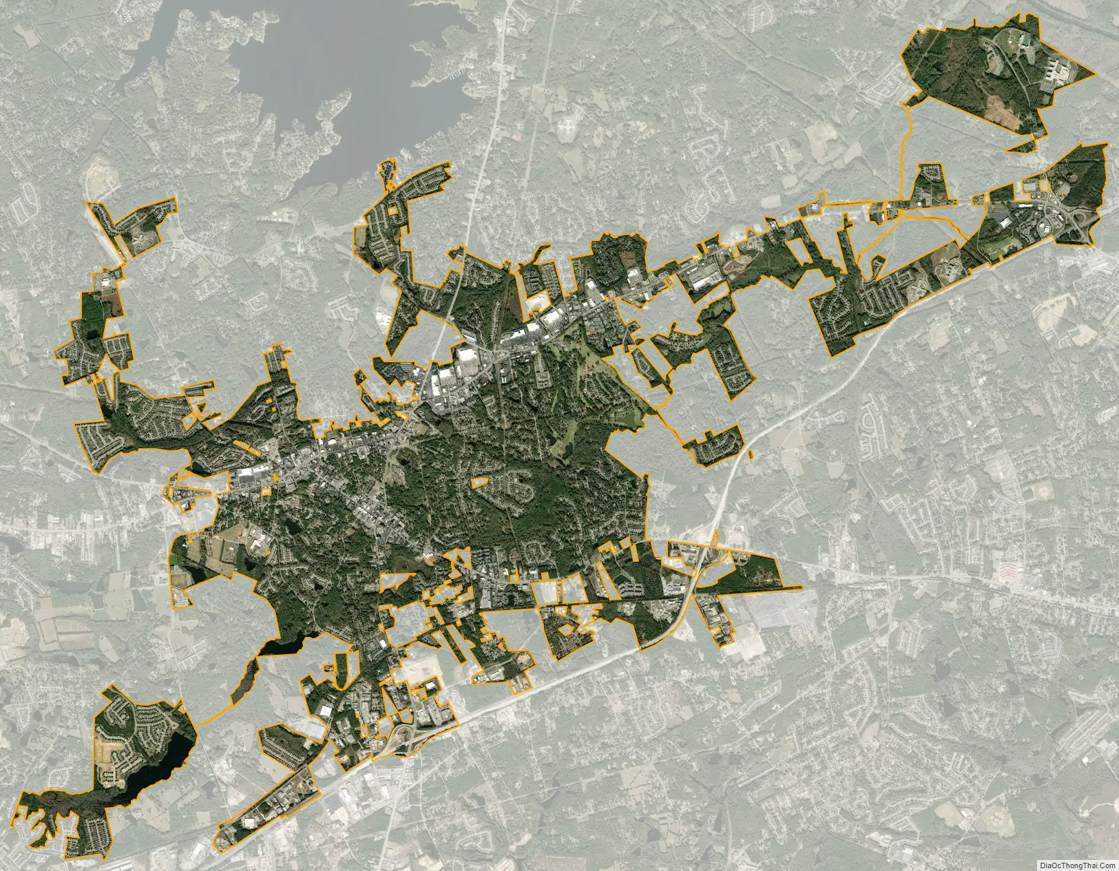
Lexington city Satellite Map
Geography
Lexington is located in northeastern Lexington County at 33°58′52″N 81°13′51″W / 33.98111°N 81.23083°W / 33.98111; -81.23083 (33.980975, -81.230839).
According to the United States Census Bureau, the town has a total area of 12.0 square miles (31.0 km), of which 11.9 square miles (30.7 km) are land and 0.2 square miles (0.4 km), or 1.21%, are water. The town is drained on the north by Fourteenmile Creek and on the south by Twelvemile Creek, both northeast-flowing tributaries of the Saluda River.
Lexington is 12 miles (19 km) west of Columbia, South Carolina’s state capital and second-largest city.
See also
Map of South Carolina State and its subdivision:- Abbeville
- Aiken
- Allendale
- Anderson
- Bamberg
- Barnwell
- Beaufort
- Berkeley
- Calhoun
- Charleston
- Cherokee
- Chester
- Chesterfield
- Clarendon
- Colleton
- Darlington
- Dillon
- Dorchester
- Edgefield
- Fairfield
- Florence
- Georgetown
- Greenville
- Greenwood
- Hampton
- Horry
- Jasper
- Kershaw
- Lancaster
- Laurens
- Lee
- Lexington
- Marion
- Marlboro
- McCormick
- Newberry
- Oconee
- Orangeburg
- Pickens
- Richland
- Saluda
- Spartanburg
- Sumter
- Union
- Williamsburg
- York
- Alabama
- Alaska
- Arizona
- Arkansas
- California
- Colorado
- Connecticut
- Delaware
- District of Columbia
- Florida
- Georgia
- Hawaii
- Idaho
- Illinois
- Indiana
- Iowa
- Kansas
- Kentucky
- Louisiana
- Maine
- Maryland
- Massachusetts
- Michigan
- Minnesota
- Mississippi
- Missouri
- Montana
- Nebraska
- Nevada
- New Hampshire
- New Jersey
- New Mexico
- New York
- North Carolina
- North Dakota
- Ohio
- Oklahoma
- Oregon
- Pennsylvania
- Rhode Island
- South Carolina
- South Dakota
- Tennessee
- Texas
- Utah
- Vermont
- Virginia
- Washington
- West Virginia
- Wisconsin
- Wyoming