Loudon County is a county in the U.S. state of Tennessee. It is located in the central part of East Tennessee. As of the 2020 census, the population was 54,886. Its county seat is Loudon. Loudon County is included in the Knoxville, TN Metropolitan Statistical Area.
| Name: | Loudon County |
|---|---|
| FIPS code: | 47-105 |
| State: | Tennessee |
| Founded: | 1870 |
| Named for: | Fort Loudoun |
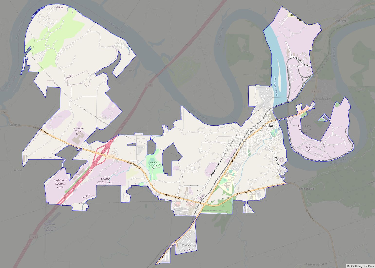
| Seat: | Loudon |
| Largest city: | Lenoir City (population) Loudon (area) |
| Total Area: | 247 sq mi (640 km²) |
| Land Area: | 229 sq mi (590 km²) |
| Total Population: | 54,886 |
| Population Density: | 212/sq mi (82/km²) |
| Time zone: | UTC−5 (Eastern) |
| Summer Time Zone (DST): | UTC−4 (EDT) |
| Website: | www.loudoncounty-tn.gov |
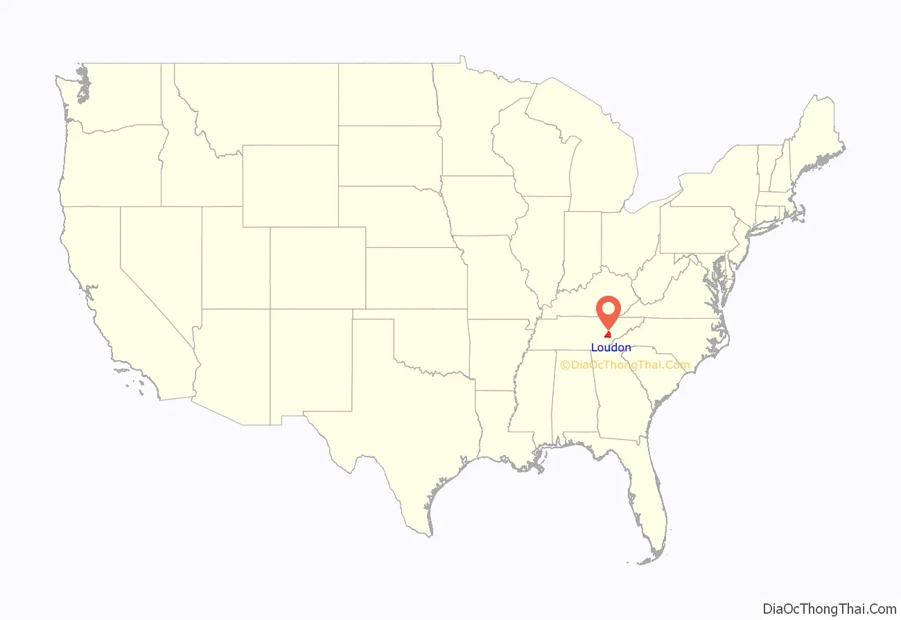
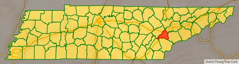
Loudon County location map. Where is Loudon County?
History
Loudon County was formed on May 27, 1870, from portions of Roane, Monroe and Blount counties. Originally, it was named Christiana County, but a few days later the name was changed to Loudon in honor of nearby colonial-era Fort Loudoun. The fort was named for John Campbell, 4th Earl of Loudoun and a commander of British forces during the French and Indian Wars. In August 1870, the county officers were chosen. On September 5, 1870, the county court was organized at the Baptist Church in Loudon. This church became the temporary quarters of the county court until the new building, built by J. W. Clark & Brothers, was finished in 1872. Bussell Island, at the mouth of the Little Tennessee River, was inhabited by Native Americans for several thousand years before the arrival of the region’s first European settlers. The Overhill Cherokee village of Mialoquo was located along the Little Tennessee near modern Tellico Village. Fort Loudoun was constructed by the British near modern Vonore in 1756, and was destroyed by the Cherokee four years later.
One of the earliest American settlements in what is now Loudon County was a river port and ferry known as Morganton, once located on the banks of the Little Tennessee River near modern Greenback. Morganton thrived during the early 19th century, but declined with the rise of the railroad in the latter half of the century. The town’s remnants were inundated by Tellico Lake in the 1970s.
Lenoir City is rooted in a plantation established by William Ballard Lenoir in 1810, which by the 1850s included a railroad stop known as Lenoir Station. The Lenoir City Company, established by Knoxville financiers Charles McClung McGhee and Edward J. Sanford, platted modern Lenoir City in the 1890s.
The town of Loudon began as a ferry and later steamboat stop known as Blair’s Ferry, established by James Blair and his brother-in-law, John Hudson Carmichael, in the 1810s. The town changed its name to “Loudon” during the early 1850s, when it expanded following the arrival of the railroad. The railroad bridge at Loudon was one of eight bridges targeted for destruction by Union guerillas as part of the East Tennessee bridge-burning conspiracy in November 1861, at the outset of the Civil War. The bridge was too well-guarded by Confederate sentries, however, and the guerillas abandoned the effort.
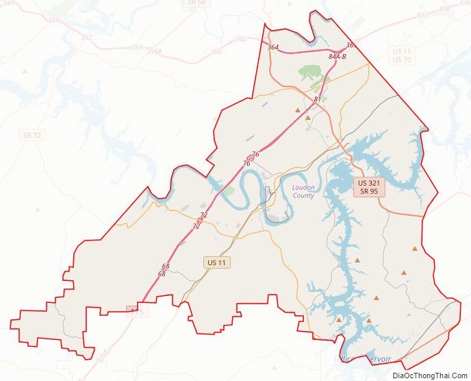
Loudon County Road Map
Geography
According to the U.S. Census Bureau, the county has a total area of 247 square miles (640 km), of which 229 square miles (590 km) is land and 18 square miles (47 km) (7.3%) is water.
The Little Tennessee River joins the Tennessee River at Lenoir City. The lower part of the Little Tennessee River is part of Tellico Lake, created by Tellico Dam near the mouth of the river. Fort Loudoun Dam spans the Tennessee River just upstream from its confluence with the Little Tennessee, creating Fort Loudoun Lake. The section of the river downstream from Fort Loudoun Dam is part of Watts Bar Lake.
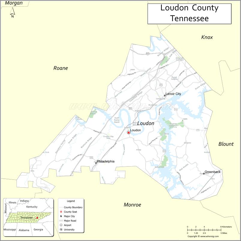
Adjacent counties
- Knox County (northeast)
- Blount County (east)
- Monroe County (south)
- McMinn County (southwest)
- Roane County (northwest)
State protected areas
- Tellico Lake Wildlife Management Area (part)
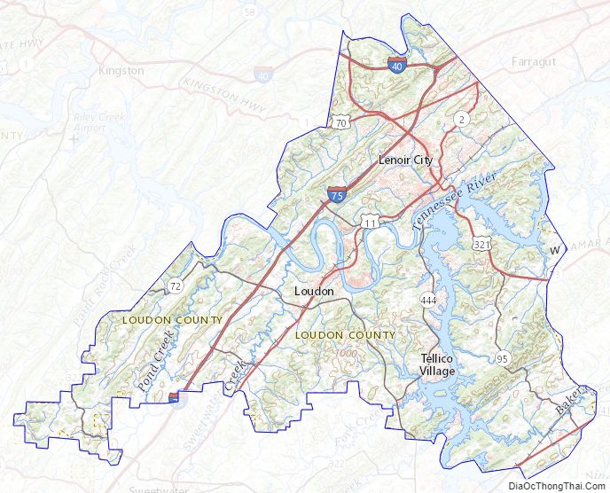
Loudon County Topographic Map
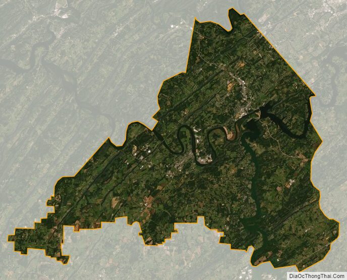
Loudon County Satellite Map
Loudon County Outline Map