Luce County (/luːs/ LOOS) is a county located in the Upper Peninsula in the U.S. state of Michigan. As of the 2020 Census, the population was 5,339, making it the second-least populous county in Michigan (behind Keweenaw County). The county seat is Newberry, Luce County’s only incorporated community. The county was set off and organized in 1887 and named after former Michigan Governor Cyrus G. Luce.
In 2002, Newberry was designated as the moose capital of Michigan by the state legislature.
| Name: | Luce County |
|---|---|
| FIPS code: | 26-095 |
| State: | Michigan |
| Founded: | 1887 |
| Named for: | Cyrus G. Luce |
| Seat: | Newberry |
| Total Area: | 1,912 sq mi (4,950 km²) |
| Land Area: | 899 sq mi (2,330 km²) |
| Total Population: | 5,339 |
| Population Density: | 7.4/sq mi (2.9/km²) |
| Time zone: | UTC−5 (Eastern) |
| Summer Time Zone (DST): | UTC−4 (EDT) |
| Website: | www.lucecountymi.com |
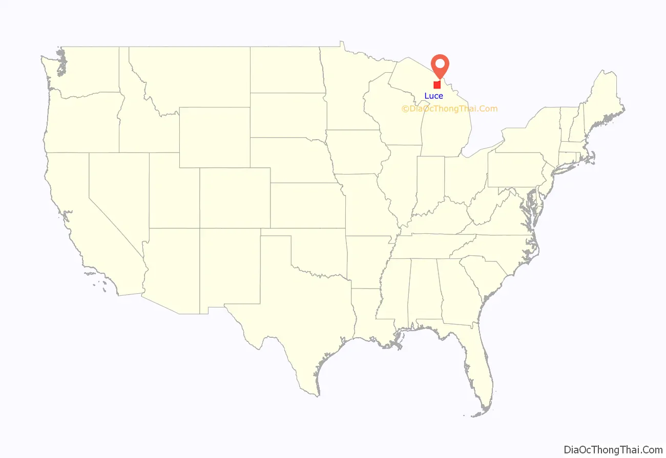
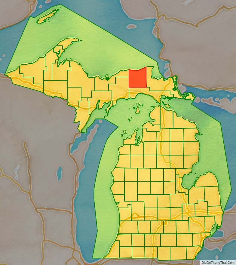
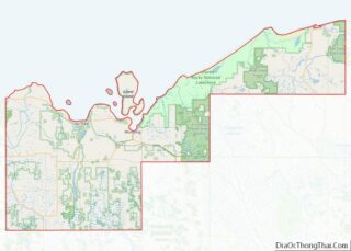
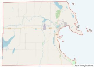
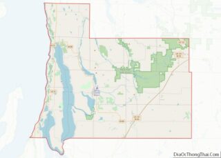
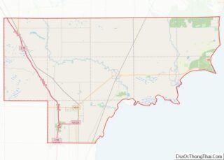
Luce County location map. Where is Luce County?
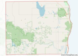
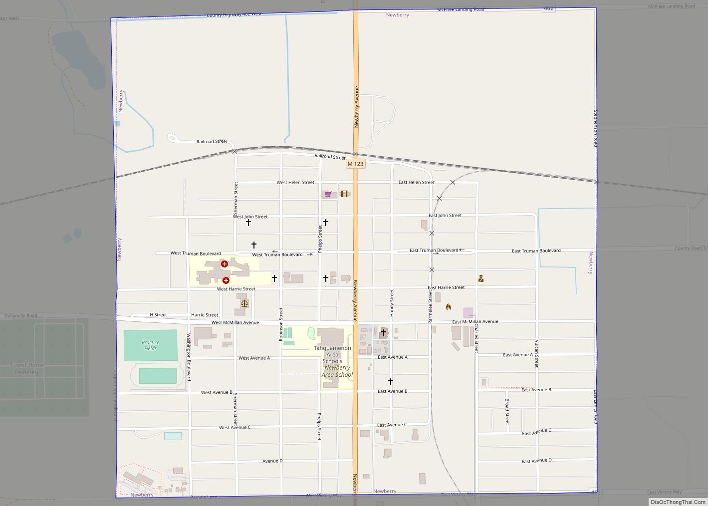
Luce County Road Map
Geography
According to the U.S. Census Bureau, the county has a total area of 1,912 sq mi (4,950 km), of which 899 sq mi (2,330 km) is land and 1,013 sq mi (2,620 km) (53%) is water. Luce County is part of the Upper Peninsula of Michigan. It has a northern border with Canada across Lake Superior.
McMillan Township, the largest municipality in Michigan by land area (at 588.78 square miles (1,524.9 km) of total land area), is part of Luce County.
Major highways
- M-28 is Michigan’s longest state trunkline highway. An east–west route, M-28 can be used to access Sault Ste. Marie to the east, and Munising and Marquette to the west.
- M-117 is a north–south connector between M-28 west of Newberry to US 2 in Mackinac County.
- M-123 is a u-shaped highway, beginning at M-28 south of Newberry. Motorists also use M-123 to access Tahquamenon Falls and Whitefish Point.
- H-33
- H-37
- H-44
- H-58
Airport
Luce County Airport (KERY), provides service for the county and surrounding communities.
Adjacent counties
- Chippewa County (east)
- Mackinac County (south)
- Schoolcraft County (southwest)
- Alger County (west)
- Thunder Bay District, Ontario (north)
- Algoma District, Ontario (northeast)
