Newberry (/nuːbɛri/ NU-bair-ee) is a village and county seat of Luce County in the U.S. state of Michigan. The village is located within McMillan Township and is the only incorporated community in Luce County. The population was 1,446 at the 2020 census.
Newberry is surrounded by state and national forests and is considered the southern gateway to the Tahquamenon Falls area, which the other being Paradise to the northeast. Newberry was designated as “the Moose Capital of Michigan” by the state legislature. The Newberry Correctional Facility is located just south of the village.
| Name: | Newberry village |
|---|---|
| LSAD Code: | 47 |
| LSAD Description: | village (suffix) |
| State: | Michigan |
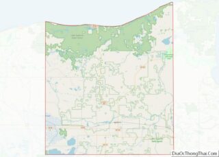
| County: | Luce County |
| Founded: | 1882 |
| Elevation: | 771 ft (235 m) |
| Total Area: | 0.98 sq mi (2.54 km²) |
| Land Area: | 0.98 sq mi (2.54 km²) |
| Water Area: | 0.00 sq mi (0.00 km²) |
| Total Population: | 1,446 |
| Population Density: | 1,474.01/sq mi (568.83/km²) |
| Area code: | 906 |
| FIPS code: | 2657140 |
| GNISfeature ID: | 0633350 |
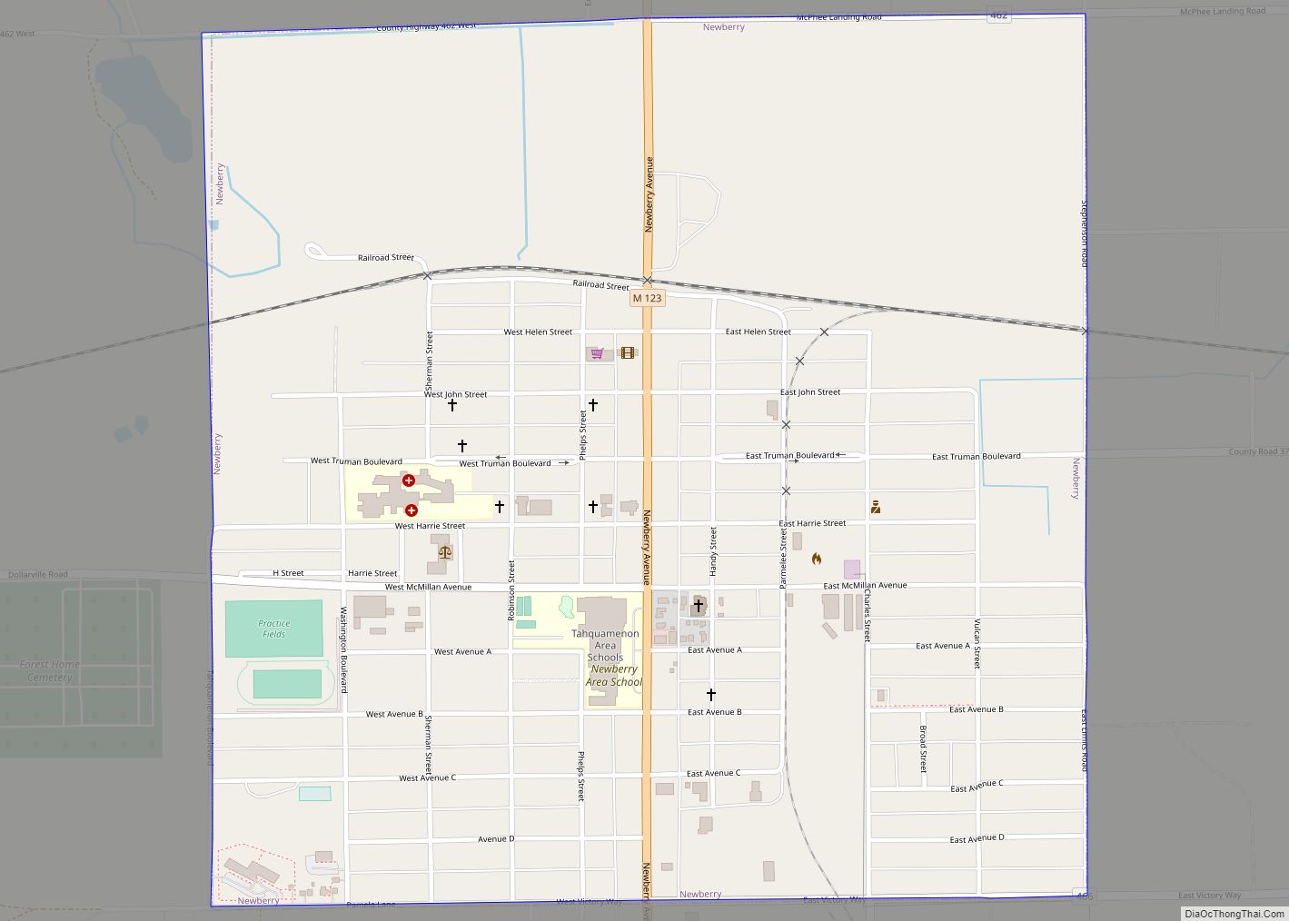
Online Interactive Map
Click on ![]() to view map in "full screen" mode.
to view map in "full screen" mode.
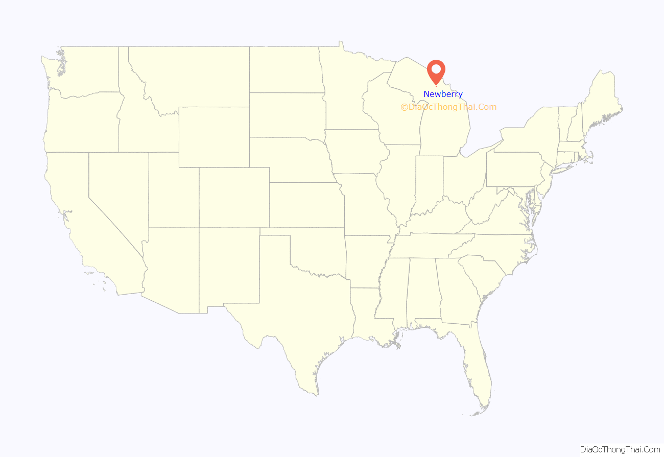
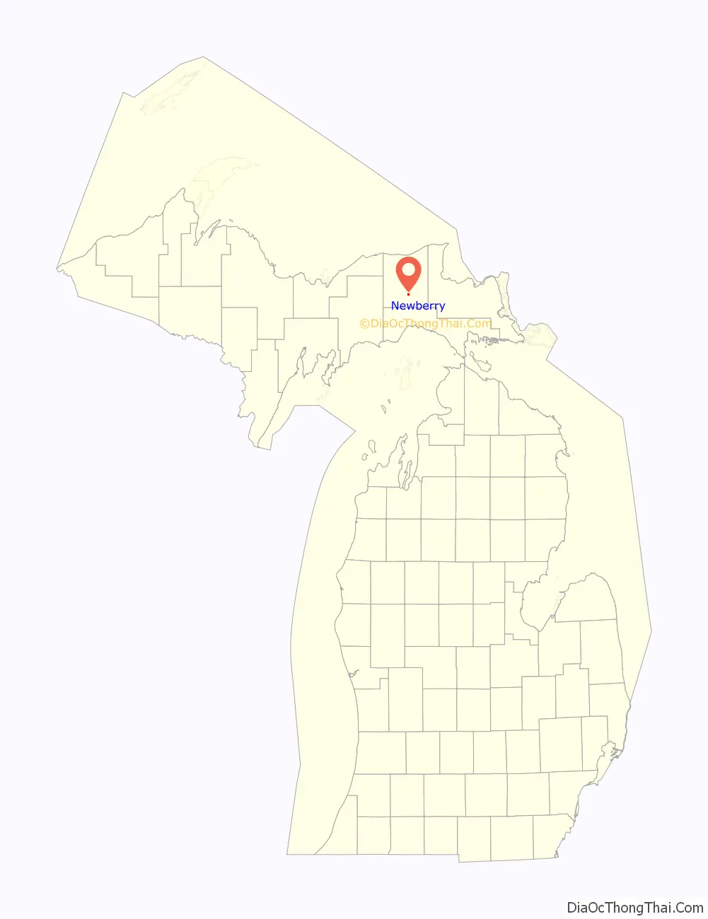
Newberry location map. Where is Newberry village?
History
Newberry was founded in 1882 and became the county seat when Luce County was separated from Chippewa County in 1887. Its first courthouse was completed in 1890.
The village was named in honor of John Stoughton Newberry, a U.S. Representative and industrialist from the state of Michigan.
Historic preservationists lost the 1970s fight to save the county’s Victorian courthouse, but managed to keep the elaborate sheriff’s house, now the Luce County Historical Museum.
Wildfires
The Newberry area was the location of two major wildfires. The Sleeper Lakes Fire took place in August 2007 and burned approximately 29 square miles (75.1 km) just north of Newberry. In May 2012, the Duck Lake Fire burned approximately 34 square miles (88.1 km) of forests near Tahquamenon Falls State Park to the northeast. Both wildfires were caused by lightning strikes. While the village itself was not threatened, firefighting efforts were coordinated in Newberry.
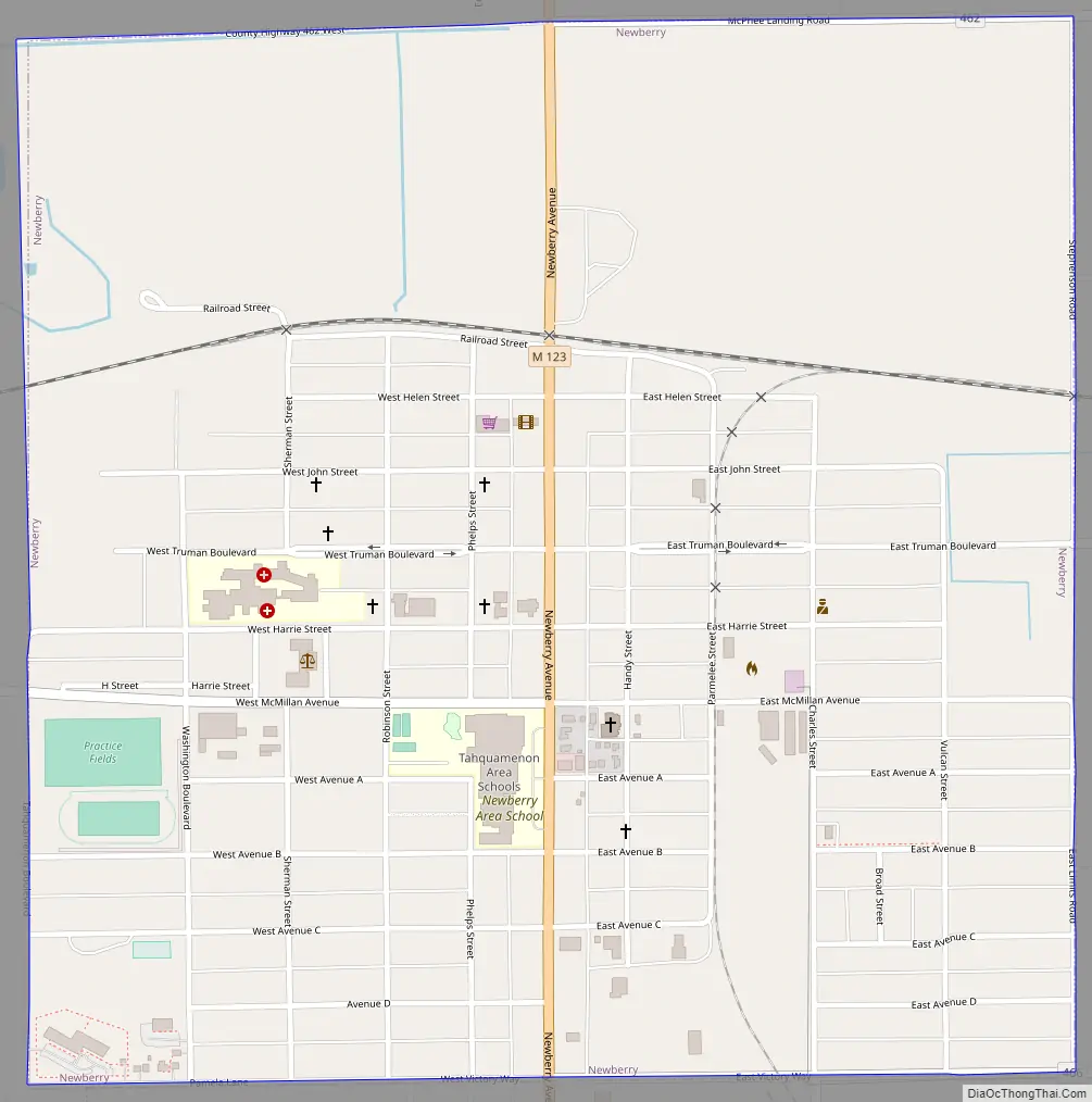
Newberry Road Map
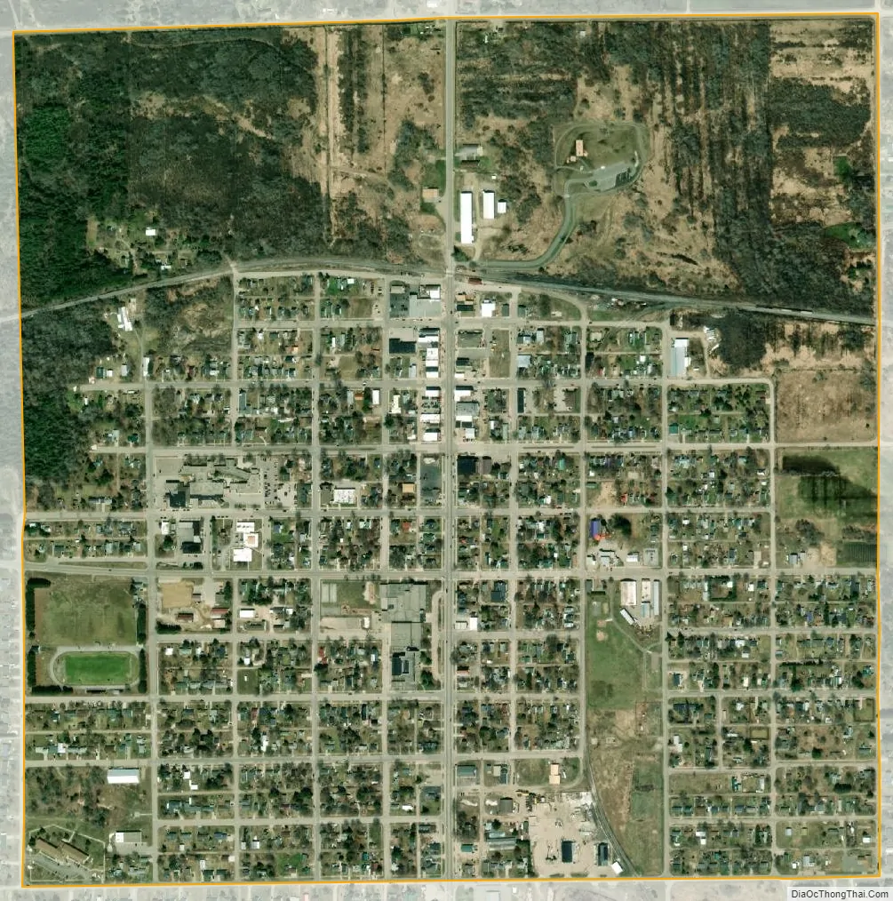
Newberry city Satellite Map
Geography
According to the United States Census Bureau, the village has a total area of 0.98 square miles (2.54 km), all of it land.
See also
Map of Michigan State and its subdivision:- Alcona
- Alger
- Allegan
- Alpena
- Antrim
- Arenac
- Baraga
- Barry
- Bay
- Benzie
- Berrien
- Branch
- Calhoun
- Cass
- Charlevoix
- Cheboygan
- Chippewa
- Clare
- Clinton
- Crawford
- Delta
- Dickinson
- Eaton
- Emmet
- Genesee
- Gladwin
- Gogebic
- Grand Traverse
- Gratiot
- Hillsdale
- Houghton
- Huron
- Ingham
- Ionia
- Iosco
- Iron
- Isabella
- Jackson
- Kalamazoo
- Kalkaska
- Kent
- Keweenaw
- Lake
- Lake Hurron
- Lake Michigan
- Lake St. Clair
- Lake Superior
- Lapeer
- Leelanau
- Lenawee
- Livingston
- Luce
- Mackinac
- Macomb
- Manistee
- Marquette
- Mason
- Mecosta
- Menominee
- Midland
- Missaukee
- Monroe
- Montcalm
- Montmorency
- Muskegon
- Newaygo
- Oakland
- Oceana
- Ogemaw
- Ontonagon
- Osceola
- Oscoda
- Otsego
- Ottawa
- Presque Isle
- Roscommon
- Saginaw
- Saint Clair
- Saint Joseph
- Sanilac
- Schoolcraft
- Shiawassee
- Tuscola
- Van Buren
- Washtenaw
- Wayne
- Wexford
- Alabama
- Alaska
- Arizona
- Arkansas
- California
- Colorado
- Connecticut
- Delaware
- District of Columbia
- Florida
- Georgia
- Hawaii
- Idaho
- Illinois
- Indiana
- Iowa
- Kansas
- Kentucky
- Louisiana
- Maine
- Maryland
- Massachusetts
- Michigan
- Minnesota
- Mississippi
- Missouri
- Montana
- Nebraska
- Nevada
- New Hampshire
- New Jersey
- New Mexico
- New York
- North Carolina
- North Dakota
- Ohio
- Oklahoma
- Oregon
- Pennsylvania
- Rhode Island
- South Carolina
- South Dakota
- Tennessee
- Texas
- Utah
- Vermont
- Virginia
- Washington
- West Virginia
- Wisconsin
- Wyoming