Smith Valley is a census-designated place (CDP) in Lyon County, Nevada, United States. The population was 1,603 at the 2010 census.
| Name: | Smith Valley CDP |
|---|---|
| LSAD Code: | 57 |
| LSAD Description: | CDP (suffix) |
| State: | Nevada |
| County: | Lyon County |
| Elevation: | 4,731 ft (1,442 m) |
| Total Area: | 103.88 sq mi (269.06 km²) |
| Land Area: | 101.96 sq mi (264.07 km²) |
| Water Area: | 1.92 sq mi (4.98 km²) |
| Total Population: | 1,710 |
| Population Density: | 16.77/sq mi (6.48/km²) |
| FIPS code: | 3268050 |
| GNISfeature ID: | 2408748 |
Online Interactive Map
Click on ![]() to view map in "full screen" mode.
to view map in "full screen" mode.
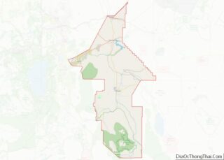
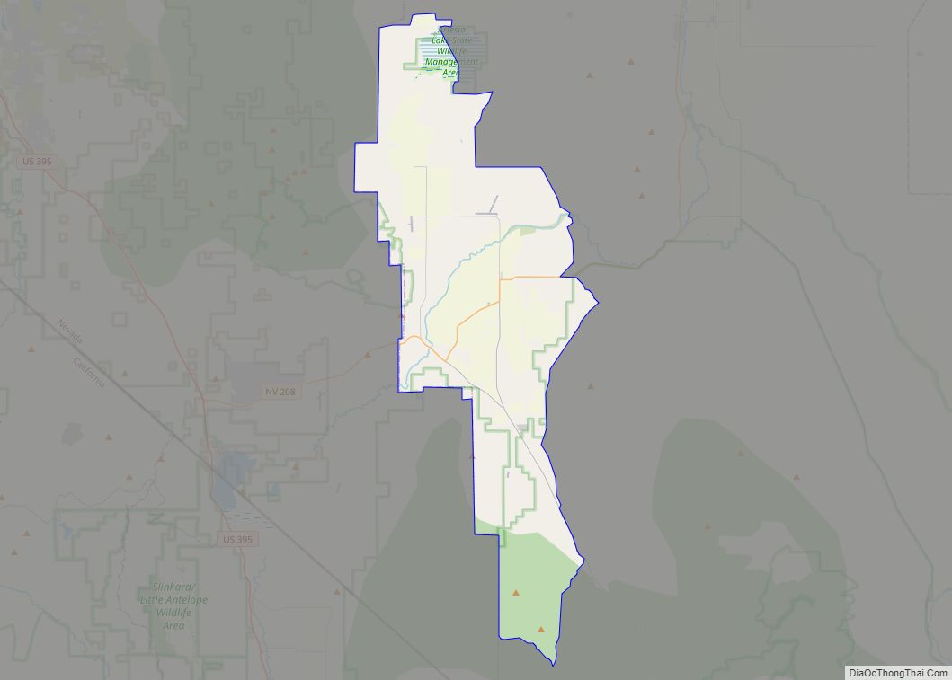
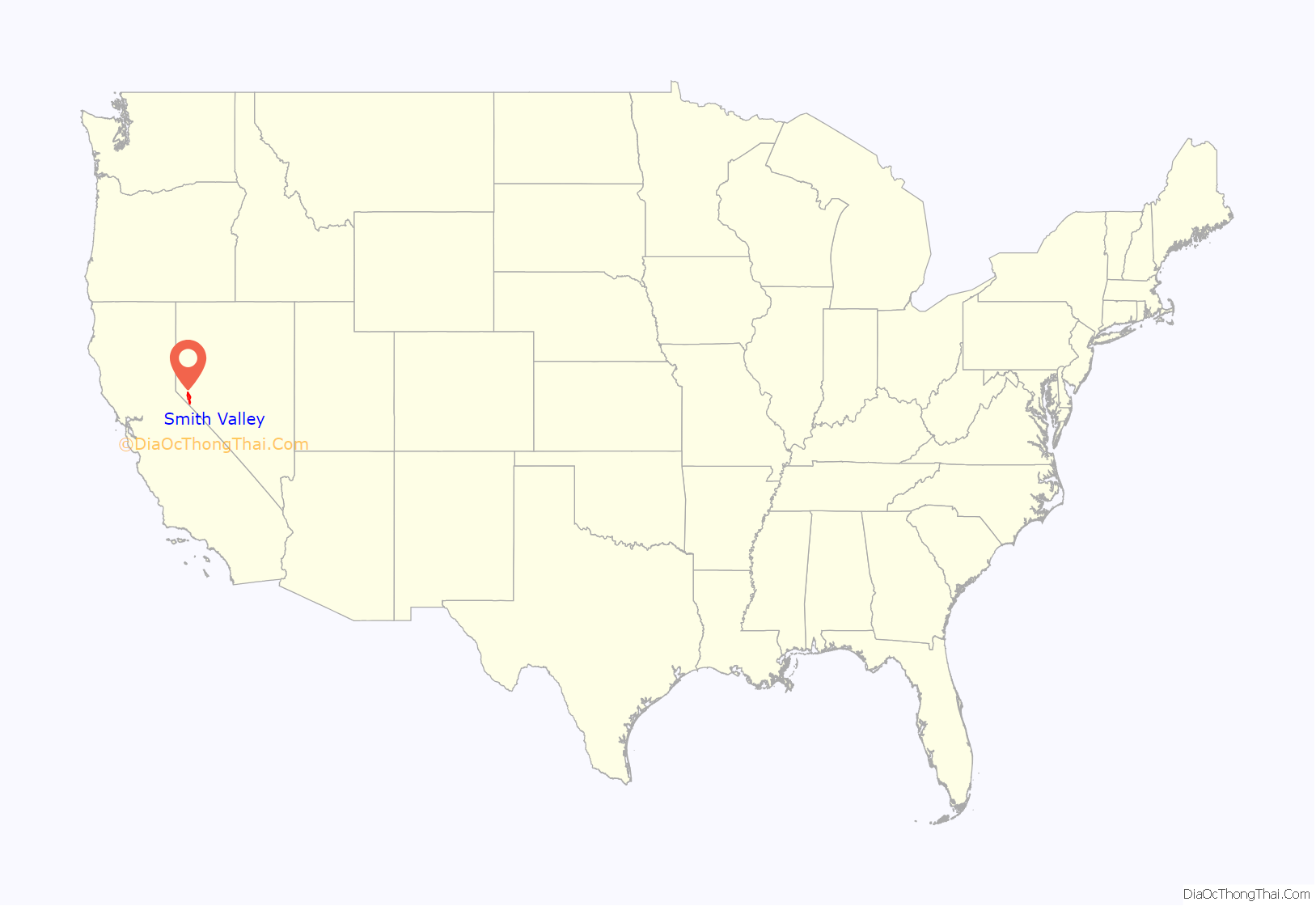
Smith Valley location map. Where is Smith Valley CDP?
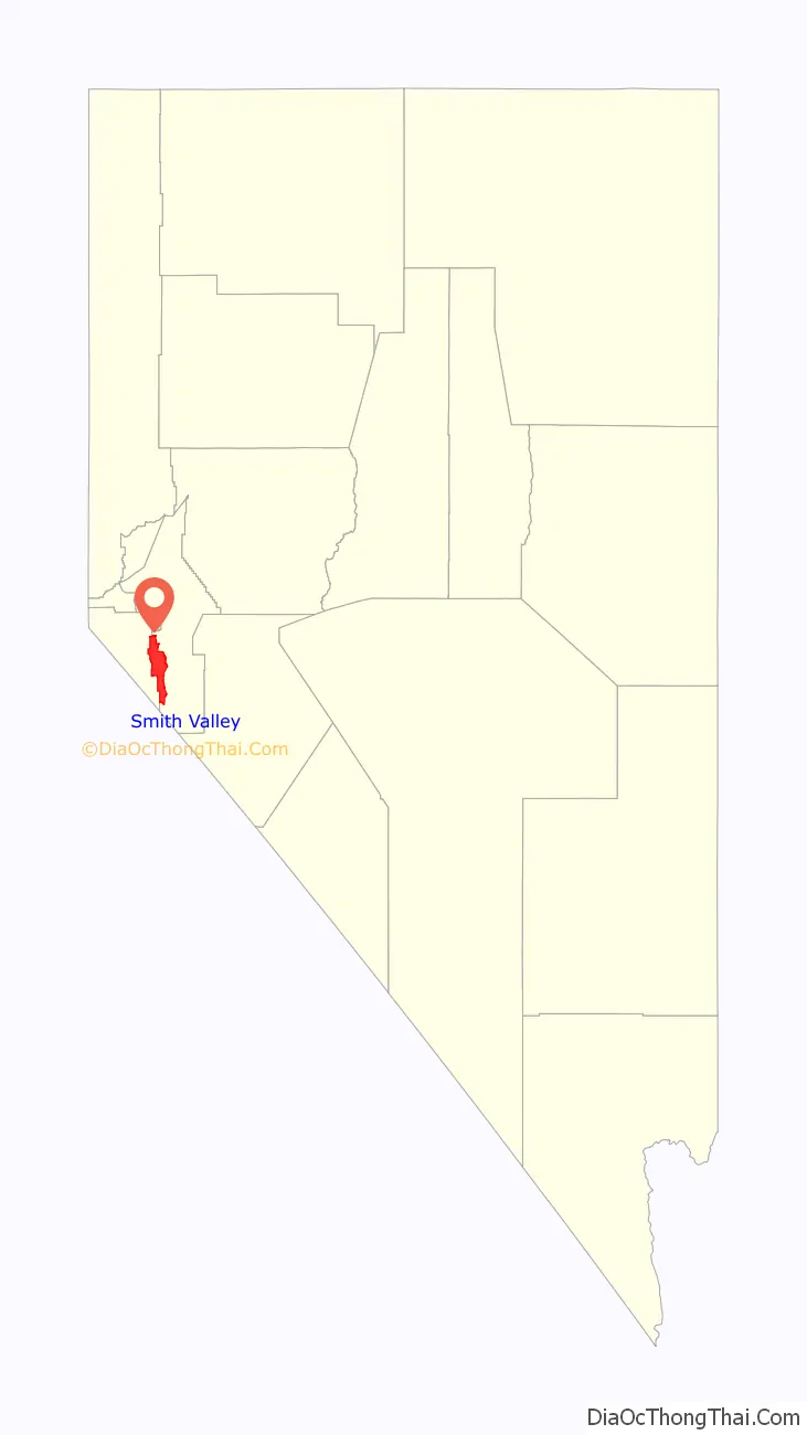
Smith Valley Road Map
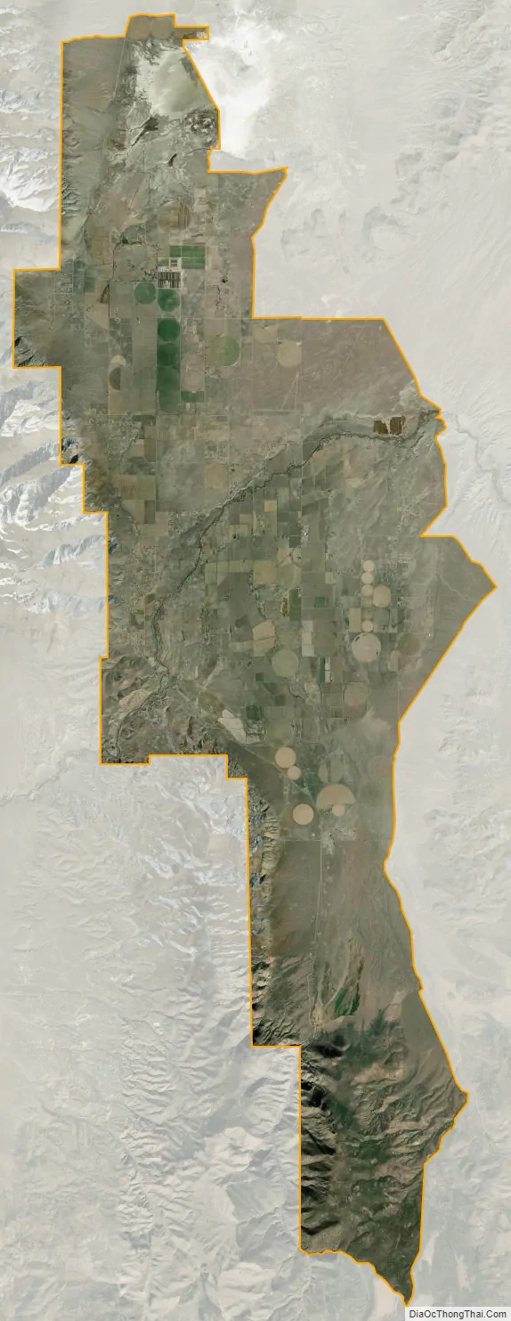
Smith Valley city Satellite Map
Geography
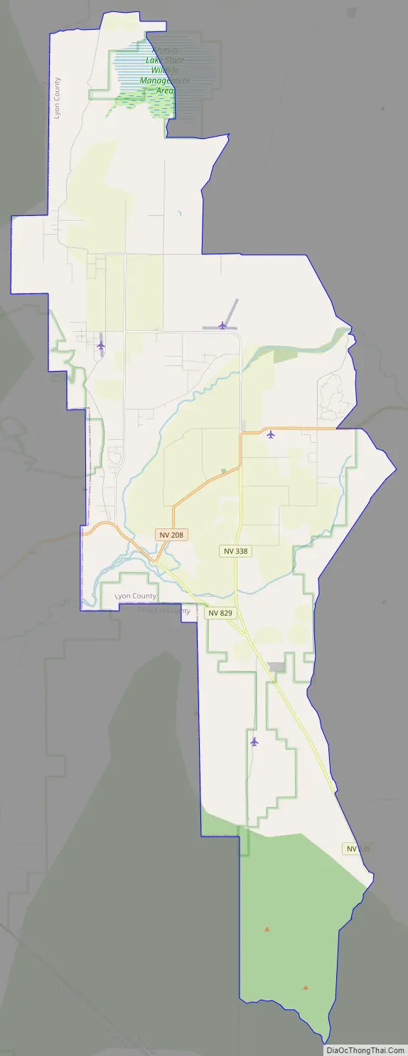
Smith Valley is located in southwestern Lyon County at 38°49′9″N 119°21′21″W / 38.81917°N 119.35583°W / 38.81917; -119.35583 (38.819204, -119.355912), occupying the valley of the same name. The valley is bordered to the west by the Pine Nut Mountains, to the north by the Buckskin Range, to the east by the Singatse Range, to the southwest by the Wellington Hills, and to the southeast by the Pine Grove Hills. The CDP occupies the western and central parts of the valley, with the western border of the CDP following the Douglas County line.
Nevada State Route 208 passes through the valley, leading northeast 23 miles (37 km) to Yerington, the Lyon county seat, and west 15 miles (24 km) to U.S. Route 395 north of Topaz Lake. State Route 338 leads south from Smith Valley 30 miles (48 km) to the California border, where State Route 182 leads an additional 14 miles (23 km) to Bridgeport, California.
According to the United States Census Bureau, the Smith Valley CDP has a total area of 122.5 square miles (317.4 km), of which 120.6 square miles (312.4 km) are land and 1.9 square miles (5.0 km), or 1.57%, are water. The central part of the valley is drained by the West Walker River, which exits the valley to the east through Wilson Canyon. The northern part of the valley is an endorheic basin, with Artesia Lake occupying the lowest area.
See also
Map of Nevada State and its subdivision: Map of other states:- Alabama
- Alaska
- Arizona
- Arkansas
- California
- Colorado
- Connecticut
- Delaware
- District of Columbia
- Florida
- Georgia
- Hawaii
- Idaho
- Illinois
- Indiana
- Iowa
- Kansas
- Kentucky
- Louisiana
- Maine
- Maryland
- Massachusetts
- Michigan
- Minnesota
- Mississippi
- Missouri
- Montana
- Nebraska
- Nevada
- New Hampshire
- New Jersey
- New Mexico
- New York
- North Carolina
- North Dakota
- Ohio
- Oklahoma
- Oregon
- Pennsylvania
- Rhode Island
- South Carolina
- South Dakota
- Tennessee
- Texas
- Utah
- Vermont
- Virginia
- Washington
- West Virginia
- Wisconsin
- Wyoming