Macon County is a county located in the northern portion of the U.S. state of Missouri. As of the 2020 census, the population was 15,209. Its county seat is Macon. The county was organized January 6, 1837, and named for Nathaniel Macon, a Revolutionary War hero and North Carolina politician.
| Name: | Macon County |
|---|---|
| FIPS code: | 29-121 |
| State: | Missouri |
| Founded: | January 6, 1837 |
| Named for: | Nathaniel Macon |
| Seat: | Macon |
| Largest city: | Macon |
| Total Area: | 812 sq mi (2,100 km²) |
| Land Area: | 801 sq mi (2,070 km²) |
| Total Population: | 15,209 |
| Population Density: | 19/sq mi (7.2/km²) |
| Time zone: | UTC−6 (Central) |
| Summer Time Zone (DST): | UTC−5 (CDT) |
| Website: | www.maconcountymo.com |
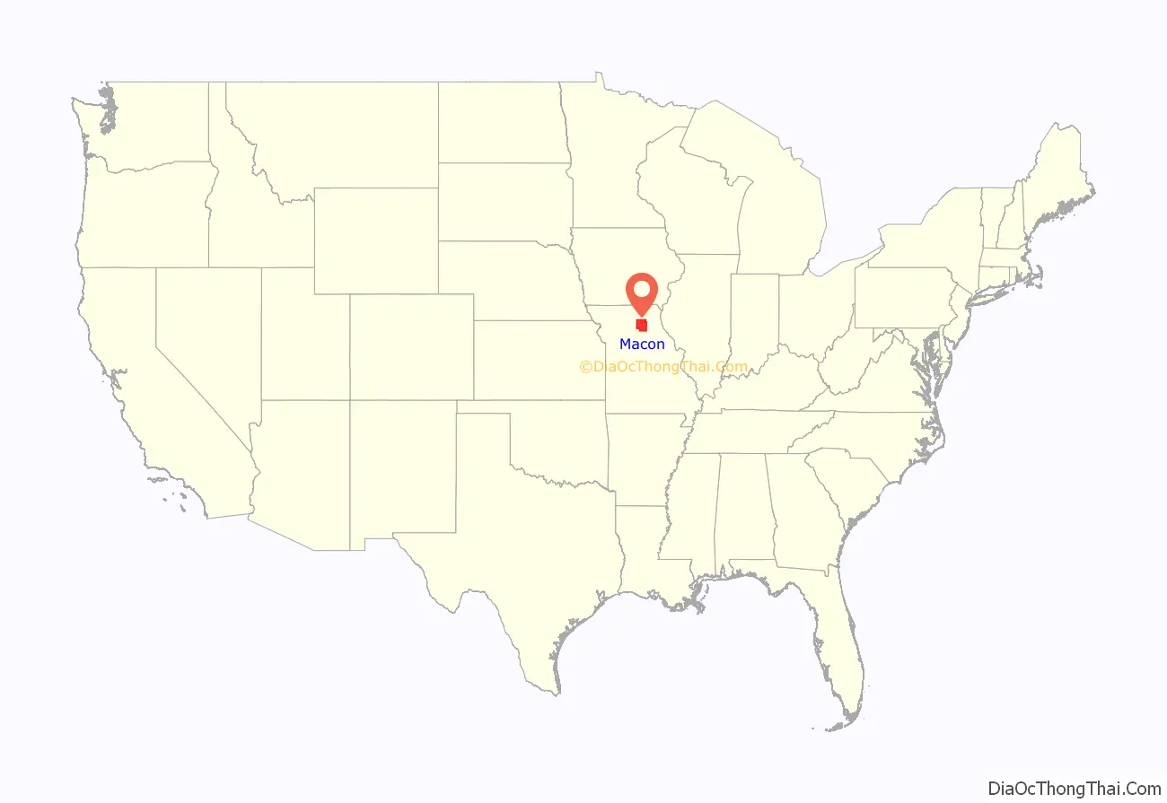
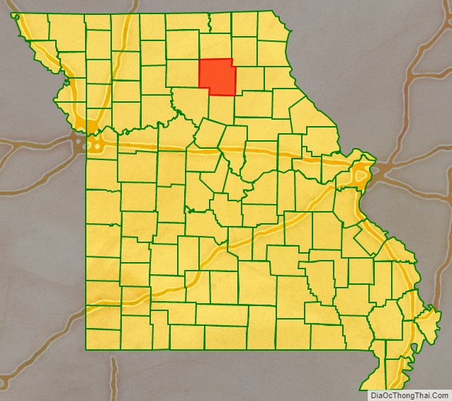
Macon County location map. Where is Macon County?
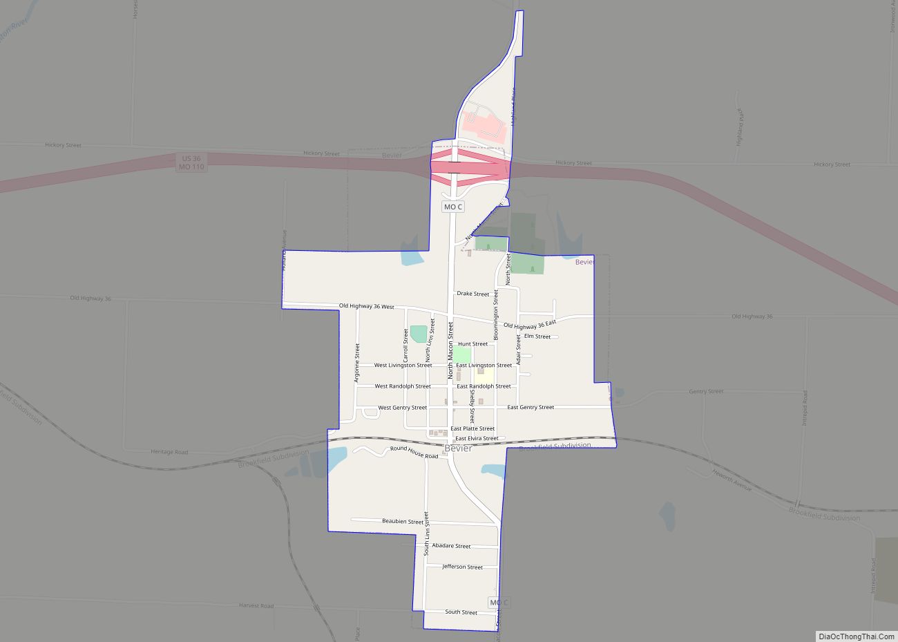
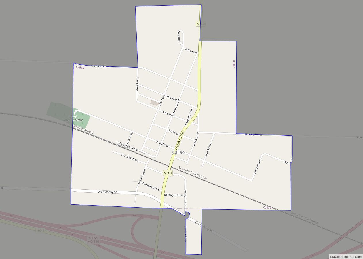
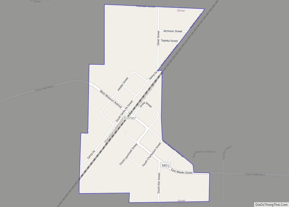
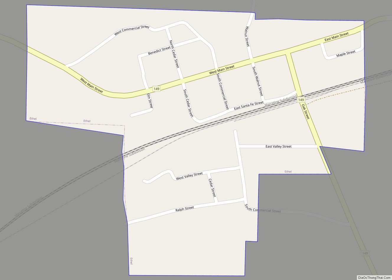
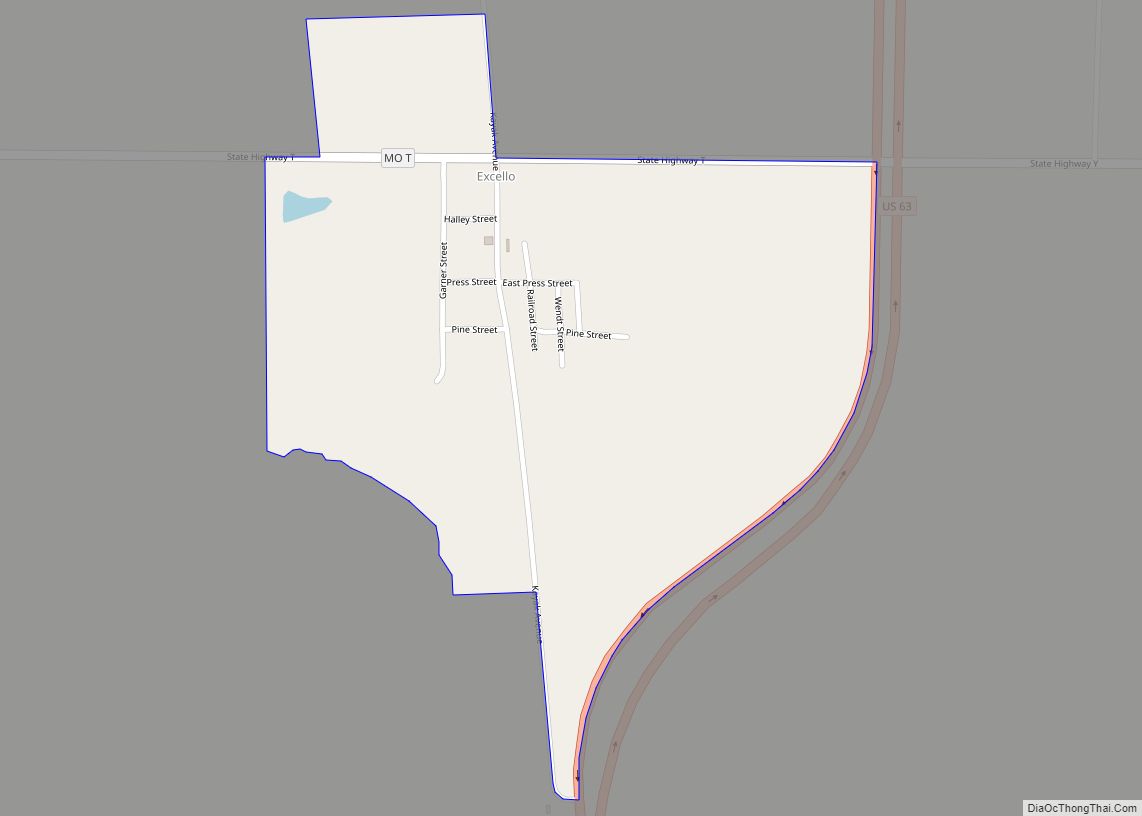
Macon County Road Map
Geography
According to the U.S. Census Bureau, the county has a total area of 812 square miles (2,100 km), of which 801 square miles (2,070 km) is land and 11 square miles (28 km) (1.4%) is water.
Adjacent counties
- Adair County (north)
- Knox County (northeast)
- Sullivan County (northwest)
- Shelby County (east)
- Randolph County (south)
- Monroe County (southeast)
- Chariton County (southwest)
- Linn County (west)
Major highways
- U.S. Route 36
- U.S. Route 63
- Route 3
- Route 149
- Route 156
Townships
- Bevier
- Callao
- Chariton
- Drake
- Eagle
- Easley
- Hudson
- Independence
- Jackson
- Johnston
- La Plata
- Liberty
- Lingo
- Lyda
- Middle Fork
- Morrow
- Narrows
- Richland
- Round Grove
- Russell
- Ten Mile
- Valley
- Walnut Creek
- White
