Macon is a city in and the county seat of Macon County, Missouri, United States. The population was 5,457 at the 2020 census.
| Name: | Macon city |
|---|---|
| LSAD Code: | 25 |
| LSAD Description: | city (suffix) |
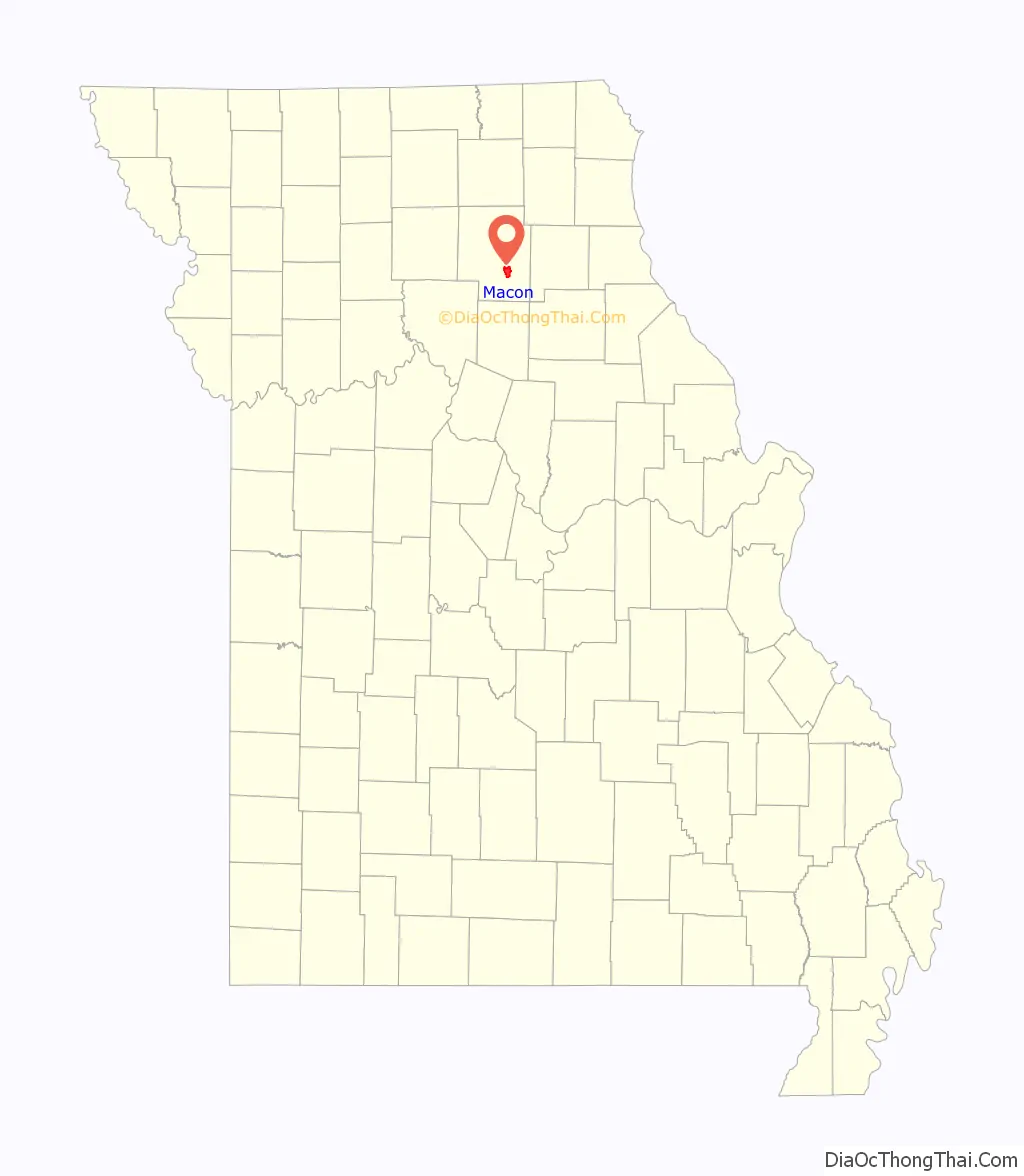
| State: | Missouri |
| County: | Macon County |
| Elevation: | 860 ft (260 m) |
| Total Area: | 6.37 sq mi (16.49 km²) |
| Land Area: | 6.06 sq mi (15.70 km²) |
| Water Area: | 0.30 sq mi (0.79 km²) |
| Total Population: | 5,457 |
| Population Density: | 900.20/sq mi (347.57/km²) |
| ZIP code: | 63552 |
| Area code: | 660 |
| FIPS code: | 2945326 |
| GNISfeature ID: | 2395803 |
| Website: | http://cityofmacon-mo.gov |
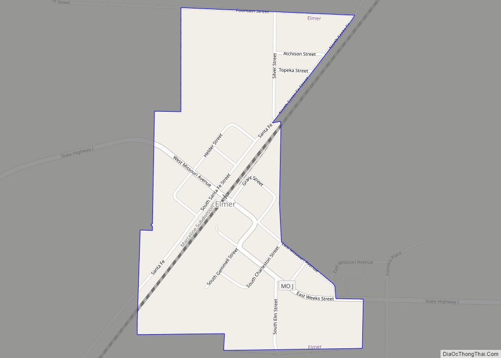
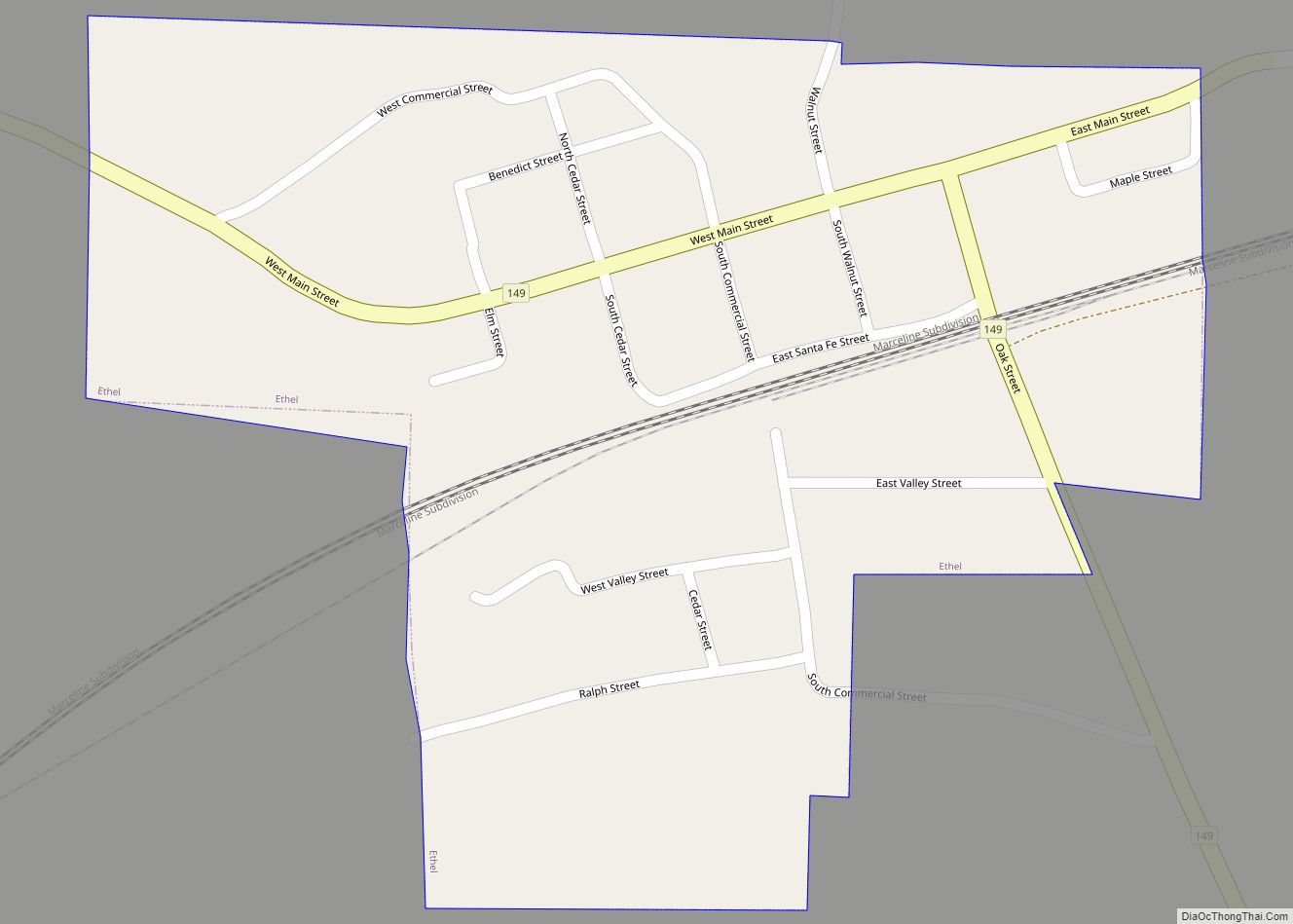
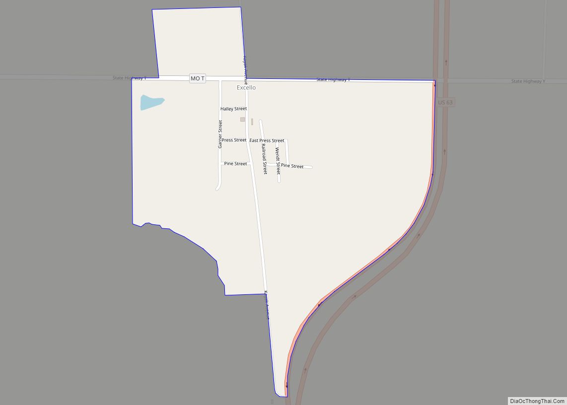
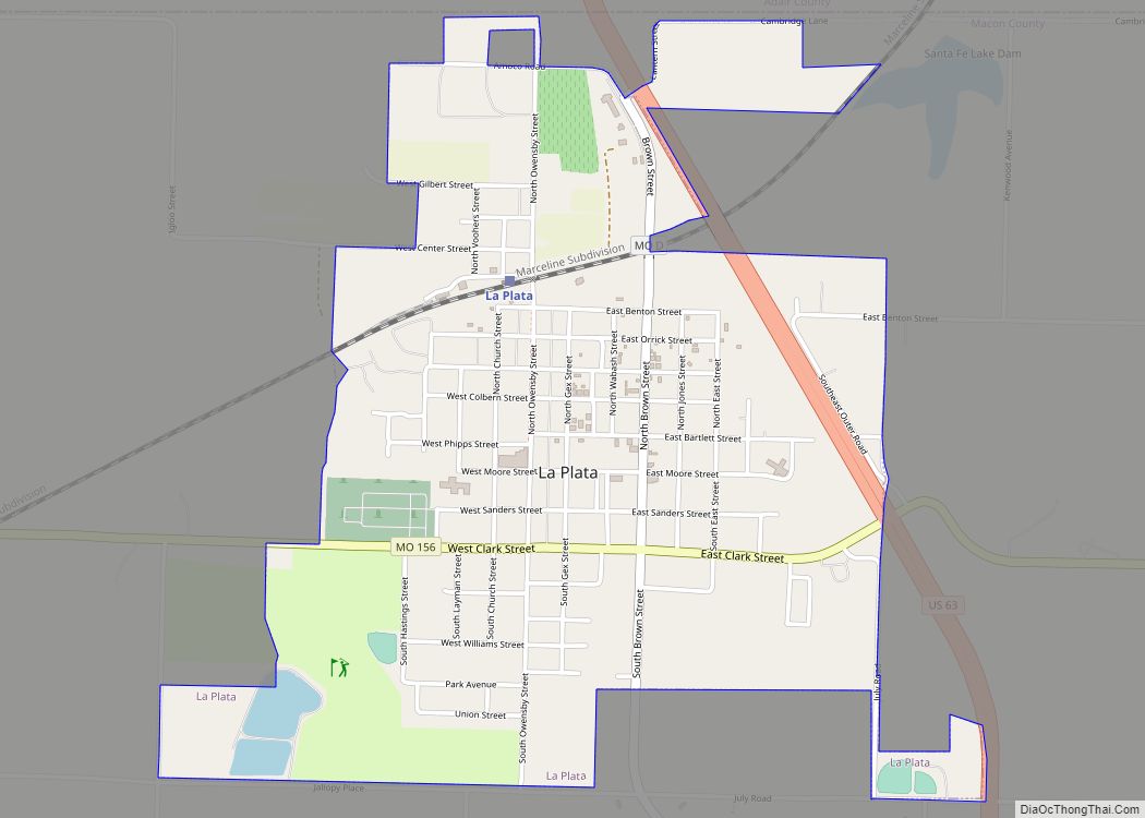
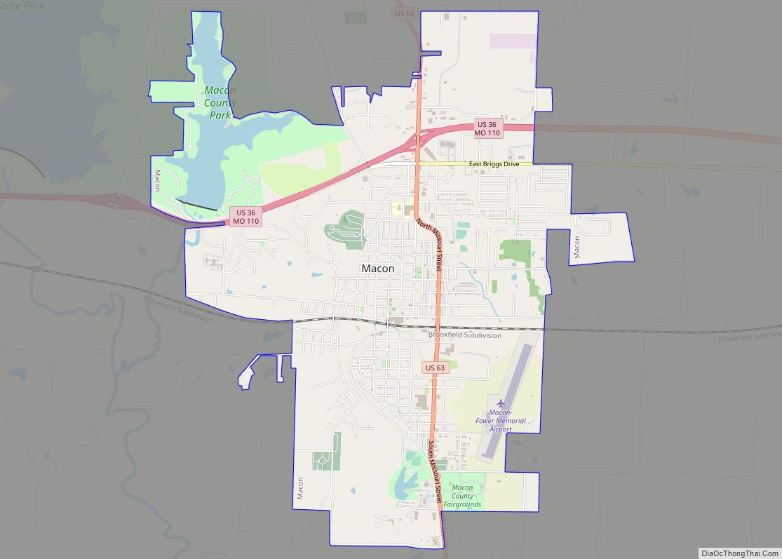
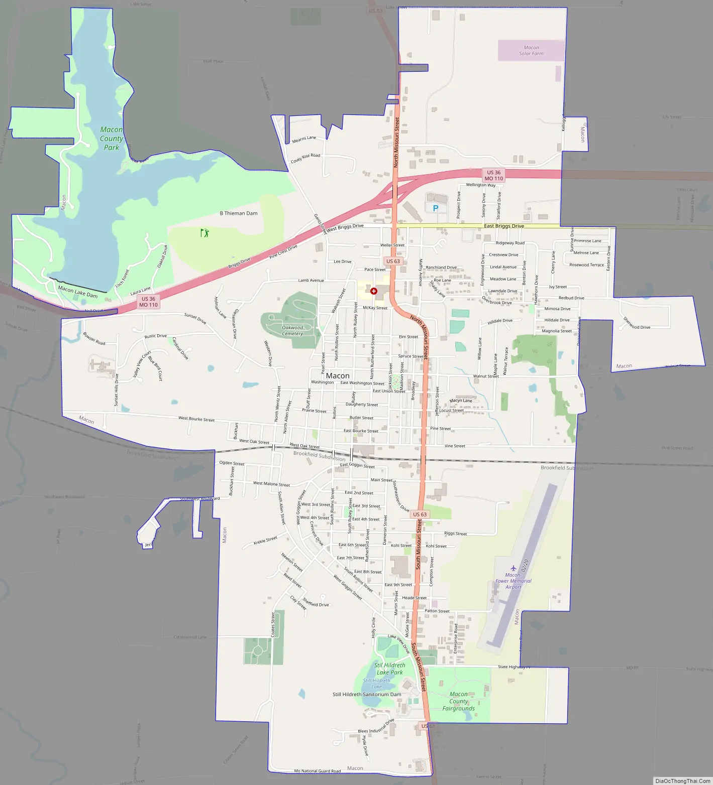
Online Interactive Map
Click on ![]() to view map in "full screen" mode.
to view map in "full screen" mode.
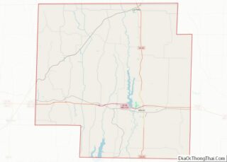
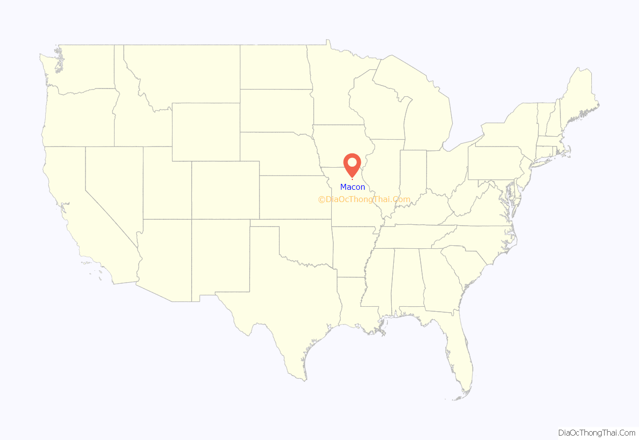
Macon location map. Where is Macon city?
History
Macon was platted in 1856. Like the county, Macon was named for Nathaniel Macon. A post office called Macon City was established in 1856, and the name was changed to Macon in 1892.
In May 1898, there was a string of break-ins in the area of Macon. The break-ins included the theft of food and items, as well as assaults on women. In late June, there was a break-in at the home of John Koechel, a blind broom maker. During this break-in, there were references to previous assaults, an attempted assault, and a theft of two sacks of flour. Police officers followed a trail of tiny white specks to the home of Henry Williams, a 30-year-old African American man, who was later arrested with no resistance. The night of Williams’ arrest, crowds formed at the courthouse, while a local pastor, Rev. G. A. Robbins, plead for the crowd to allow the law to take its proper course. The crowd moved on to the jail, and demanded Sheriff A. J. Glenn give up Williams, Glenn and his deputies refused the crowd’s demands. A man called Mr. McVicker made a speech to attempt to pacify the crowd, but was knocked out by a thrown brick. The crowd knocked down the fence, stole the key, and unlocked Williams’ cell, confronting the cowering man. The mob of 200-300 men decided they would hang him from a bridge instead of electrical lights, so they would not offend the women and children in the morning. In the early morning hours of June 30, 1898, Henry Williams was lynched on the Wabash bridge; he maintained his innocence when asked if he wanted to say anything.
In November 1919 four African-Americans were arrested for allegedly robbing a white farmer. They were held at the Macon prison but on Saturday, November 15, 1919, a white mob drove into town and demanded that the Sheriff hand them over. At first he refused but when the mob threatened to use dynamite to destroy the prison the four black men were handed over and they were then driven to Moberly, Missouri and lynched.
The Blees Military Academy, Macon County Courthouse and Annex, and Wardell House are listed on the National Register of Historic Places.
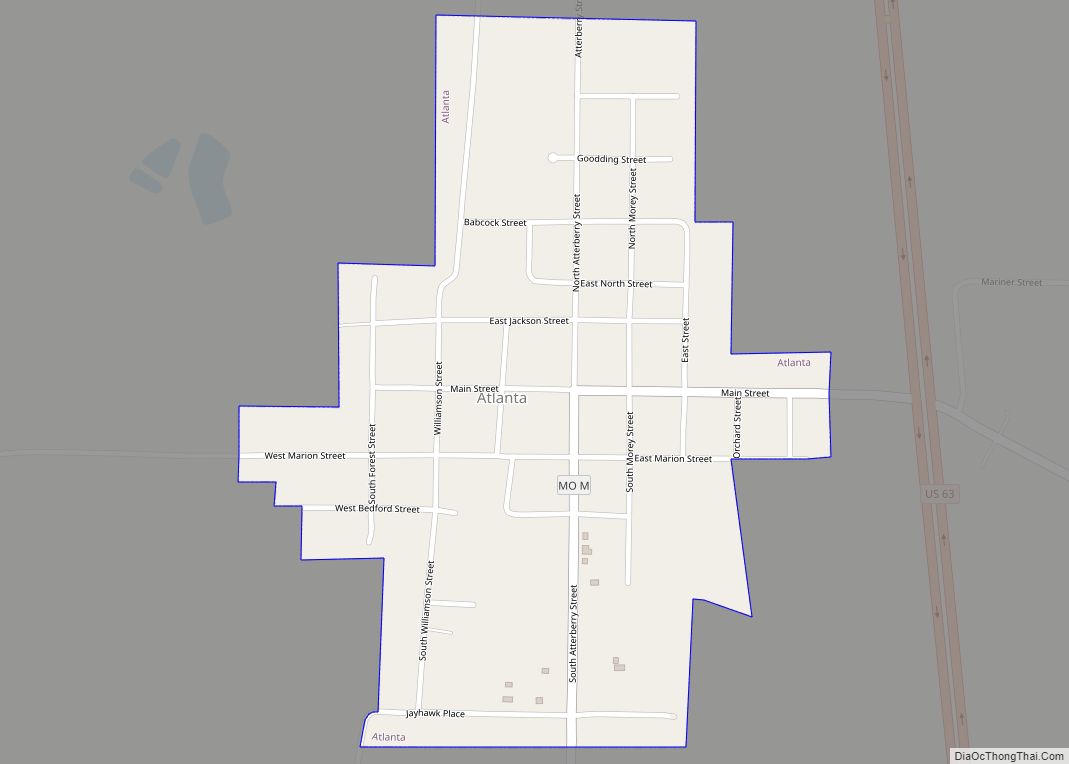
Macon Road Map
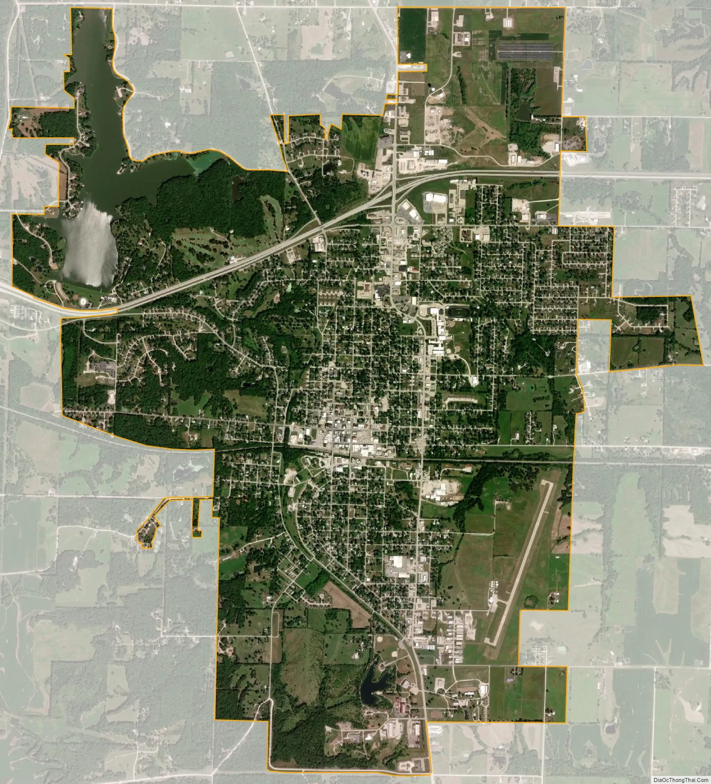
Macon city Satellite Map
Geography
According to the United States Census Bureau, the city has a total area of 6.30 square miles (16.32 km), of which 6.00 square miles (15.54 km) is land and 0.30 square miles (0.78 km) is water.
See also
Map of Missouri State and its subdivision:- Adair
- Andrew
- Atchison
- Audrain
- Barry
- Barton
- Bates
- Benton
- Bollinger
- Boone
- Buchanan
- Butler
- Caldwell
- Callaway
- Camden
- Cape Girardeau
- Carroll
- Carter
- Cass
- Cedar
- Chariton
- Christian
- Clark
- Clay
- Clinton
- Cole
- Cooper
- Crawford
- Dade
- Dallas
- Daviess
- De Kalb
- Dent
- Douglas
- Dunklin
- Franklin
- Gasconade
- Gentry
- Greene
- Grundy
- Harrison
- Henry
- Hickory
- Holt
- Howard
- Howell
- Iron
- Jackson
- Jasper
- Jefferson
- Johnson
- Knox
- Laclede
- Lafayette
- Lawrence
- Lewis
- Lincoln
- Linn
- Livingston
- Macon
- Madison
- Maries
- Marion
- McDonald
- Mercer
- Miller
- Mississippi
- Moniteau
- Monroe
- Montgomery
- Morgan
- New Madrid
- Newton
- Nodaway
- Oregon
- Osage
- Ozark
- Pemiscot
- Perry
- Pettis
- Phelps
- Pike
- Platte
- Polk
- Pulaski
- Putnam
- Ralls
- Randolph
- Ray
- Reynolds
- Ripley
- Saint Charles
- Saint Clair
- Saint Francois
- Saint Louis
- Sainte Genevieve
- Saline
- Schuyler
- Scotland
- Scott
- Shannon
- Shelby
- Stoddard
- Stone
- Sullivan
- Taney
- Texas
- Vernon
- Warren
- Washington
- Wayne
- Webster
- Worth
- Wright
- Alabama
- Alaska
- Arizona
- Arkansas
- California
- Colorado
- Connecticut
- Delaware
- District of Columbia
- Florida
- Georgia
- Hawaii
- Idaho
- Illinois
- Indiana
- Iowa
- Kansas
- Kentucky
- Louisiana
- Maine
- Maryland
- Massachusetts
- Michigan
- Minnesota
- Mississippi
- Missouri
- Montana
- Nebraska
- Nevada
- New Hampshire
- New Jersey
- New Mexico
- New York
- North Carolina
- North Dakota
- Ohio
- Oklahoma
- Oregon
- Pennsylvania
- Rhode Island
- South Carolina
- South Dakota
- Tennessee
- Texas
- Utah
- Vermont
- Virginia
- Washington
- West Virginia
- Wisconsin
- Wyoming