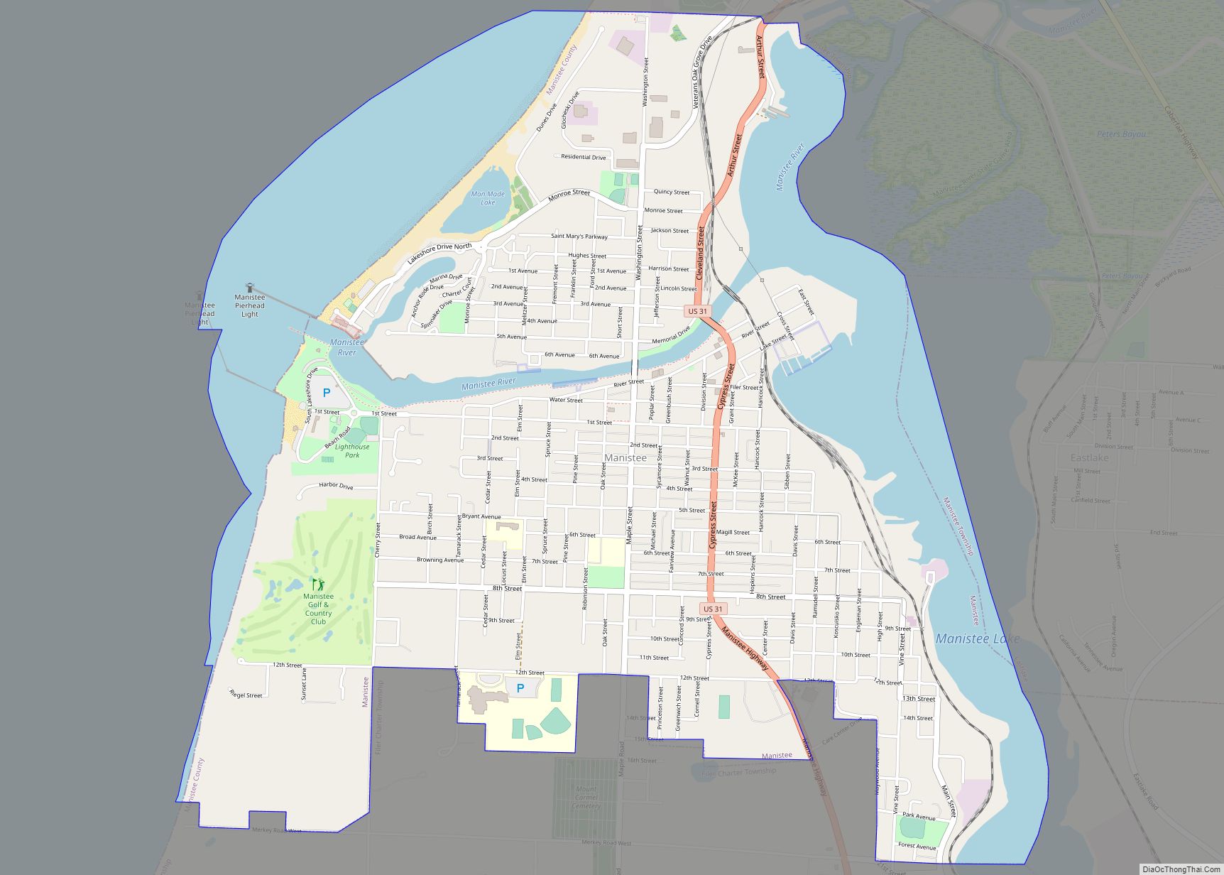
Manistee (/mænɪsti/ man-iss-TEE) is a city in the U.S. state of Michigan. Located in southwestern Manistee County, it is part of the northwestern Lower Peninsula. Manistee is the county seat of Manistee County, and its population was 6,259 at the 2020 census. This makes Manistee the fifth-largest city in Northern Michigan.
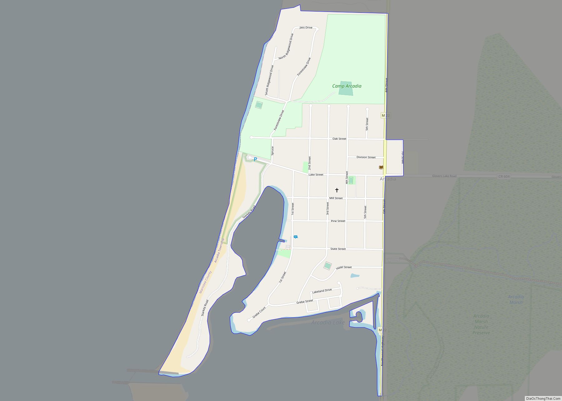
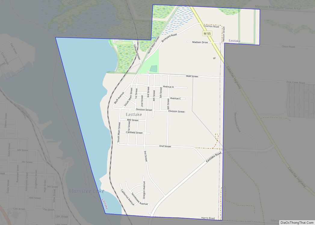
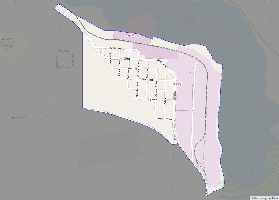
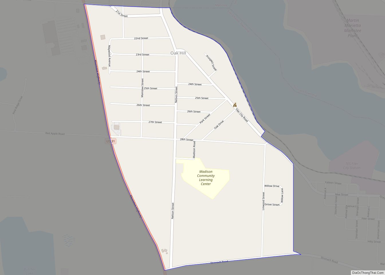
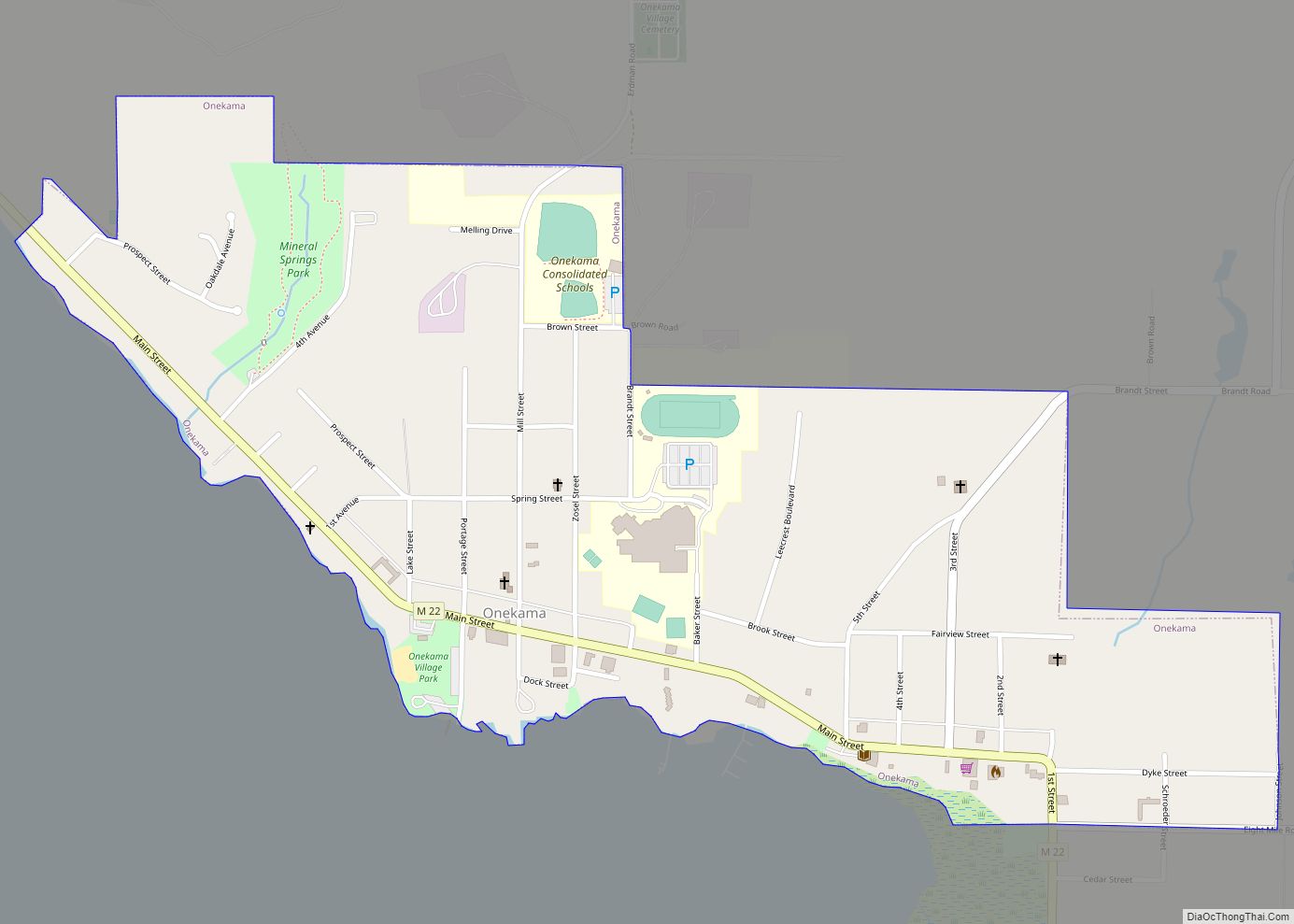
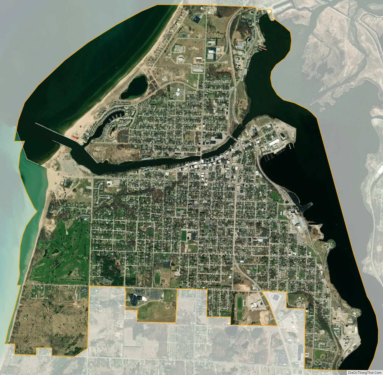
Manistee is located on an isthmus between Manistee Lake and Lake Michigan, with the Manistee River bisecting the city as it flows west to the latter. Many smaller communities surround Manistee, such as Eastlake, Filer City, Oak Hill, Parkdale, and Stronach. Also bordering Manistee are the townships of Filer, Manistee, and Stronach. Manistee is also the location of the junction of US 31 and M-55, two major state trunkline highways.
| Name: | Manistee city |
|---|---|
| LSAD Code: | 25 |
| LSAD Description: | city (suffix) |
| State: | Michigan |
| County: | Manistee County |
| Elevation: | 663 ft (202 m) |
| Total Area: | 4.53 sq mi (11.73 km²) |
| Land Area: | 3.28 sq mi (8.49 km²) |
| Water Area: | 1.25 sq mi (3.24 km²) |
| Total Population: | 6,259 |
| Population Density: | 1,908.81/sq mi (737.04/km²) |
| ZIP code: | 49660 |
| Area code: | 231 |
| FIPS code: | 2650720 |
| GNISfeature ID: | 1620680 |
Online Interactive Map
Click on ![]() to view map in "full screen" mode.
to view map in "full screen" mode.
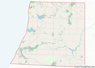
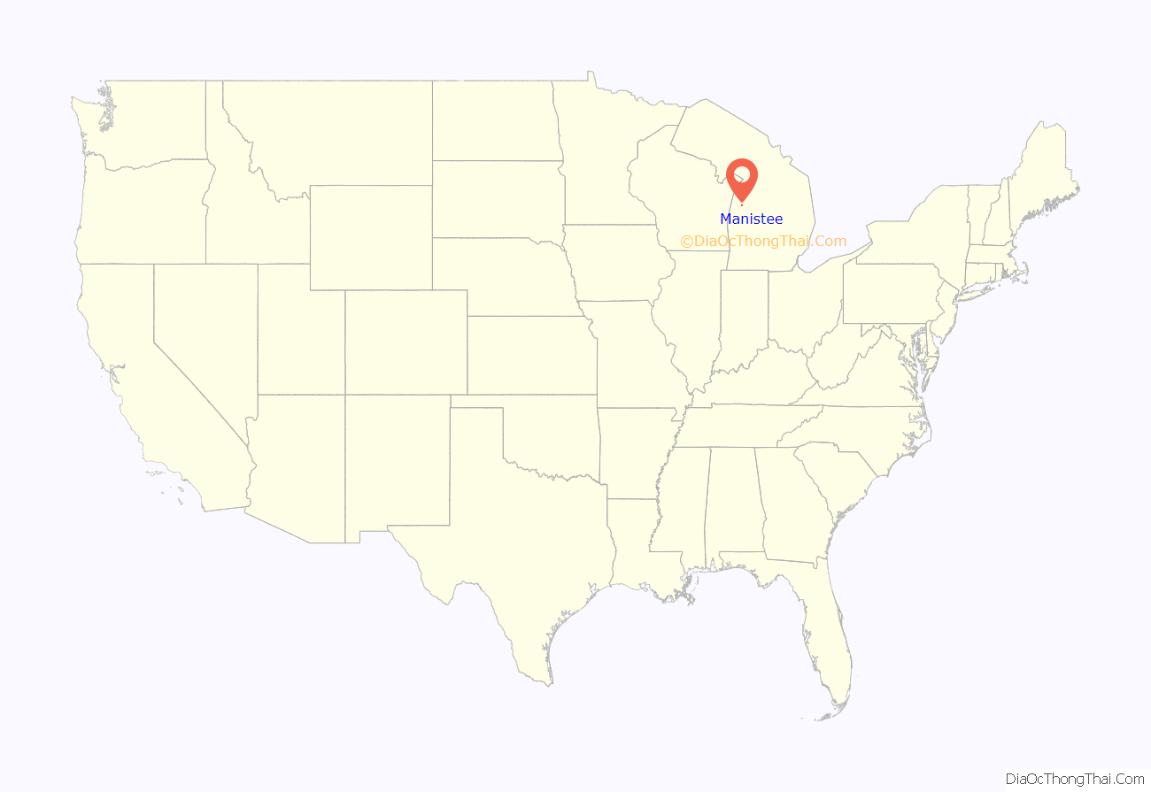
Manistee location map. Where is Manistee city?

History
In 1751, a Jesuit Mission was established in Manistee. Missionaries visited Manistee in the early 19th century, and a Jesuit mission house is known to have been located on the NW shore of Manistee Lake in 1826. In 1832, a group of traders from Massachusetts built a log house up the Manistee River. However, they were soon driven off by the Odawa nation. The first white settlement and sawmill was built there in 1841.
In 1830 the village of Manistee was one of about 15 Odawa (Ottawa) villages along the shore of Lake Michigan. Much of the Manistee River Valley, including Manistee itself, was designated as an Odawa Reservation from 1836 to 1848.
The first permanent Euro-American settlement was made on April 16, 1841, when John Stronach and his son, Adam Stronach, arrived at the mouth of the Manistee River in a schooner loaded with fifteen men and equipment, and established a saw mill.
In 1846, the town was named “Manistee”; it was made part of Ottawa County, whose county offices were 100 miles away at Grand Haven. After a series of new counties were organized, by 1855 Manistee was part of a large Manistee county that also included modern-day Manistee, Wexford, and Missaukee counties. Thomas Jefferson Ramsdell, Manistee’s first lawyer, moved there in 1860 and remained there until his death. Ramsdell owned the first hardware store in the city, and was responsible for the construction of a bridge across the Manistee River.
On October 8, 1871, the town was practically destroyed by fire; on the same day that the Peshtigo Fire, the Great Chicago Fire, and fires in Port Huron and Holland occurred, the Great Michigan Fire burned Manistee. Manistee was incorporated as a city in 1882.
21st century to present
In 2000, Manistee made national headlines after a local jury convicted a woman for expressing to her mother near a Hispanic family in a restaurant her wish that immigrants would learn English; the judge described it as “insulting conduct” consisting of “fighting words”, an offense that was punishable under a local ordinance. Allegations appeared of improper procedure and irregularities in the court records. Two years later (November 1, 2002) and after the defendant spent four nights in jail, the conviction was overturned by the state Court of Appeals.
Etymology
The name “Manistee” is from an Ojibwe word first applied to the principal river of the county. The derivation is not certain, but it may be from ministigweyaa, “river with islands at its mouth”. Other sources claim that it was an Ojibwe term meaning “spirit of the woods”.
Manistee Road Map
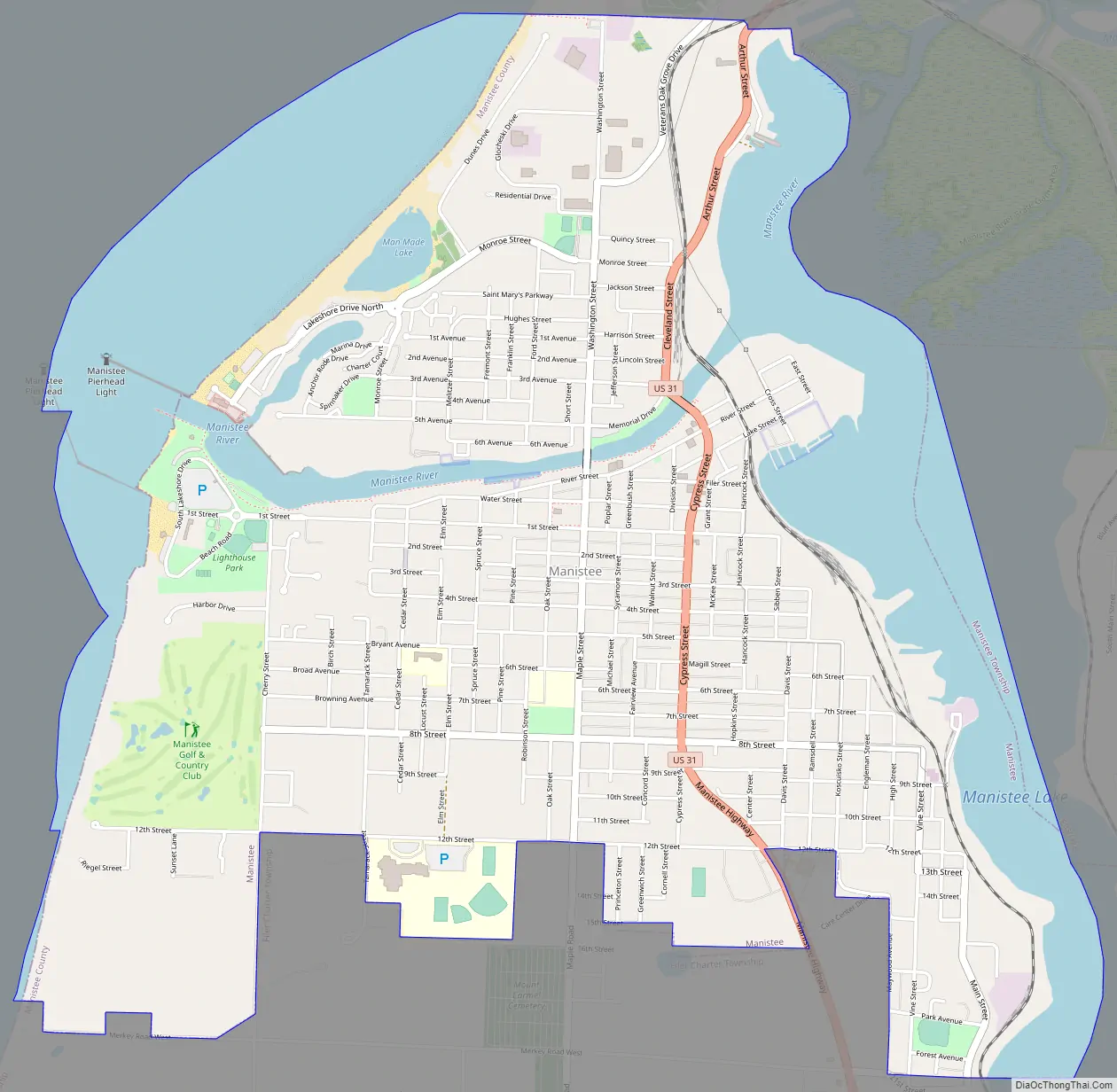
Manistee city Satellite Map
Geography
- According to the United States Census Bureau, the city has a total area of 4.47 square miles (11.58 km), of which 3.29 square miles (8.52 km) is land and 1.18 square miles (3.06 km) is water.
- At the mouth of the Manistee River is the Manistee Pierhead lights (north and south piers) that were built in 1873, and replaced in 1927.
- Manistee is considered to be part of Northern Michigan.
See also
Map of Michigan State and its subdivision:- Alcona
- Alger
- Allegan
- Alpena
- Antrim
- Arenac
- Baraga
- Barry
- Bay
- Benzie
- Berrien
- Branch
- Calhoun
- Cass
- Charlevoix
- Cheboygan
- Chippewa
- Clare
- Clinton
- Crawford
- Delta
- Dickinson
- Eaton
- Emmet
- Genesee
- Gladwin
- Gogebic
- Grand Traverse
- Gratiot
- Hillsdale
- Houghton
- Huron
- Ingham
- Ionia
- Iosco
- Iron
- Isabella
- Jackson
- Kalamazoo
- Kalkaska
- Kent
- Keweenaw
- Lake
- Lake Hurron
- Lake Michigan
- Lake St. Clair
- Lake Superior
- Lapeer
- Leelanau
- Lenawee
- Livingston
- Luce
- Mackinac
- Macomb
- Manistee
- Marquette
- Mason
- Mecosta
- Menominee
- Midland
- Missaukee
- Monroe
- Montcalm
- Montmorency
- Muskegon
- Newaygo
- Oakland
- Oceana
- Ogemaw
- Ontonagon
- Osceola
- Oscoda
- Otsego
- Ottawa
- Presque Isle
- Roscommon
- Saginaw
- Saint Clair
- Saint Joseph
- Sanilac
- Schoolcraft
- Shiawassee
- Tuscola
- Van Buren
- Washtenaw
- Wayne
- Wexford
- Alabama
- Alaska
- Arizona
- Arkansas
- California
- Colorado
- Connecticut
- Delaware
- District of Columbia
- Florida
- Georgia
- Hawaii
- Idaho
- Illinois
- Indiana
- Iowa
- Kansas
- Kentucky
- Louisiana
- Maine
- Maryland
- Massachusetts
- Michigan
- Minnesota
- Mississippi
- Missouri
- Montana
- Nebraska
- Nevada
- New Hampshire
- New Jersey
- New Mexico
- New York
- North Carolina
- North Dakota
- Ohio
- Oklahoma
- Oregon
- Pennsylvania
- Rhode Island
- South Carolina
- South Dakota
- Tennessee
- Texas
- Utah
- Vermont
- Virginia
- Washington
- West Virginia
- Wisconsin
- Wyoming