Wexford County is a county in the Northern Lower Peninsula of the U.S. state of Michigan. As of the 2020 United States Census, the population was 33,673. The seat of Wexford County is Cadillac, which is also the county’s largest city.
Wexford County is largely covered by the Manistee National Forest, and thus is heavily wooded. The Manistee River flows from east to west in the north of the county. Briar Hill, the highest point in Michigan’s Lower Peninsula, is located in northwestern Wexford County, at 1,706 feet (520 m).
The county is the location of the first known sighting of the Michigan Dogman, in 1887.
| Name: | Wexford County |
|---|---|
| FIPS code: | 26-165 |
| State: | Michigan |
| Founded: | 1840 |
| Named for: | County Wexford, Ireland |
| Seat: | Cadillac |
| Largest city: | Cadillac |
| Total Area: | 575.46 sq mi (1,490.4 km²) |
| Land Area: | 565.00 sq mi (1,463.3 km²) |
| Total Population: | 33,673 |
| Population Density: | 59.2/sq mi (22.9/km²) |
| Time zone: | UTC−5 (Eastern) |
| Summer Time Zone (DST): | UTC−4 (EDT) |
| Website: | www.wexfordcounty.org |
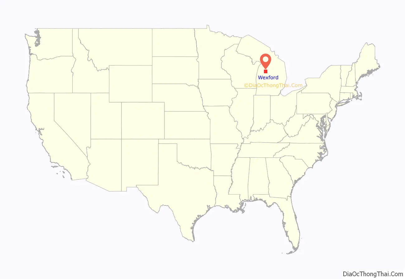
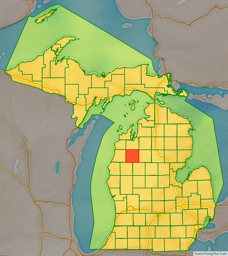
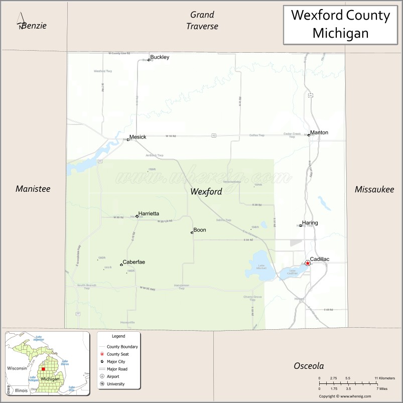
Wexford County location map. Where is Wexford County?
History
The county was established by the Michigan Legislature in 1840 as Kautawaubet County, after a Potawatomi phrase meaning “broken tooth,” and the name of a local Potawatomi chief. In 1843, legislators renamed the county Wexford, after County Wexford in Ireland.
In 1851, Wexford County was attached to Grand Traverse County for administrative purposes. It was then attached to Manistee County in 1855, before being organized on its own in 1869.
County seat battle
The Wexford County seat of government, originally located in Sherman, was moved to Manton in 1881, as the result of a compromise between the feuding residents of Cadillac and Sherman. Cadillac partisans, however, won the county seat by a county-wide vote in April 1882. The day following the election, a sheriff’s posse left the city for Manton by special train to seize the county records. After they arrived and collected a portion of the materials, however, an angry crowd confronted the Cadillac men and drove them out of town.
When the sheriff returned to Cadillac, he encountered a force consisting of several hundred armed men; this group reportedly included a brass band. The Sheriff’s force, some of whom may have been intoxicated, traveled back to Manton to seize the remaining records. Although Manton residents confronted the Cadillac men and barricaded the courthouse, the posse successfully seized the documents. They returned to Cadillac in dubious glory.
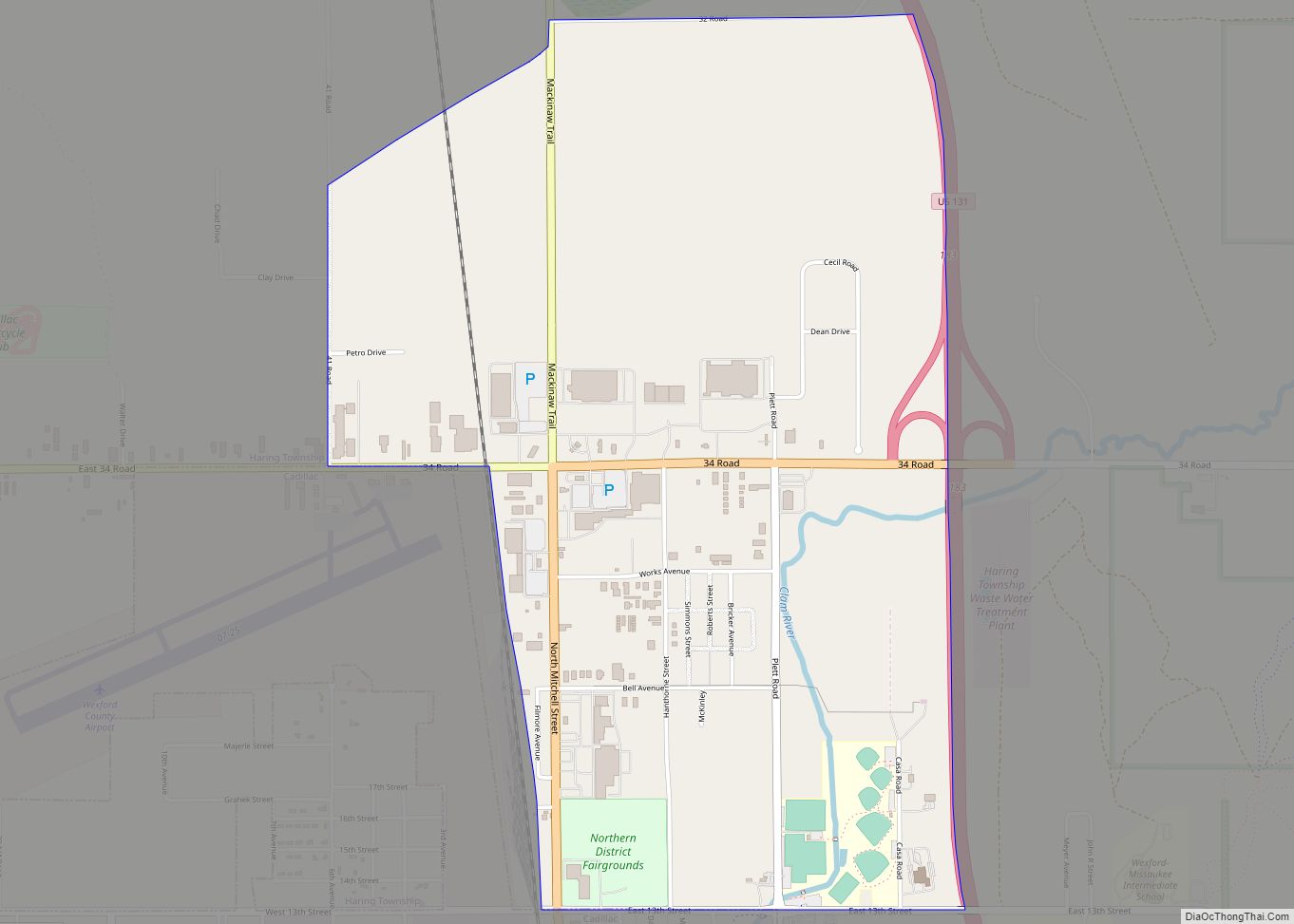
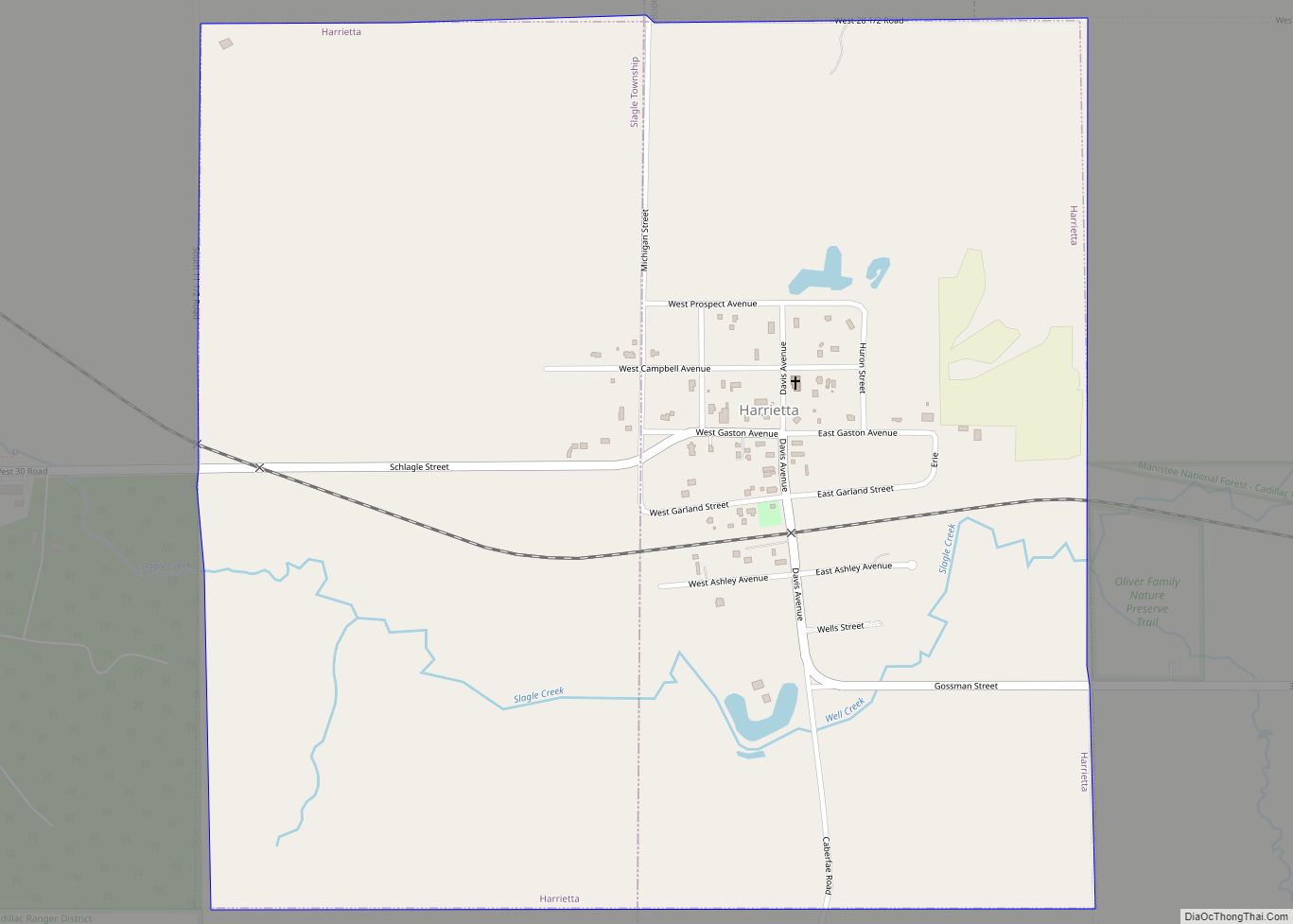
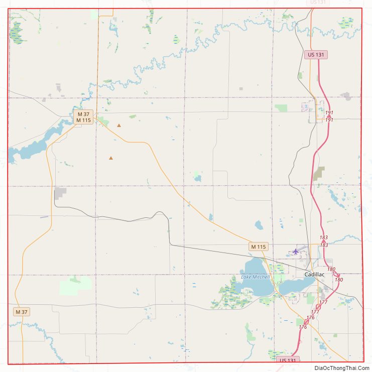
Wexford County Road Map
Geography
The Manistee River flows westward through the upper part of Wexford County. The county terrain consists of low rolling hills, largely tree-covered. The terrain slopes to the west, with its highest point, Briar Hill in Manistee National Forest at 1,706 feet (520 m).
According to the US Census Bureau, the county has a total area of 575.46 sqmi (1,490 km), of which 565.00 sqmi (1,463 km) is land and 10.46 sqmi (27.1 km) (1.8%) is water.
Major highways
- US 131
- Bus. US 131 (Cadillac Route)
- Bus. US 131 (Manton Route)
- M-37
- M-42
- M-55
- M-115
Adjacent counties
- Grand Traverse County – north
- Kalkaska County – northeast
- Missaukee County – east
- Osceola County – southeast
- Lake County – southwest
- Manistee County – west
- Benzie County – northwest
Protected areas
- Brandy Brook Waterfowl Area
- Manistee National Forest (part)
- Mitchell State Park
Lakes
- Hodenpyl Dam Pond
- Lake Cadillac
- Lake Gitchegumee
- Lake Mitchell
- Long Lake
- Round Lake (part)
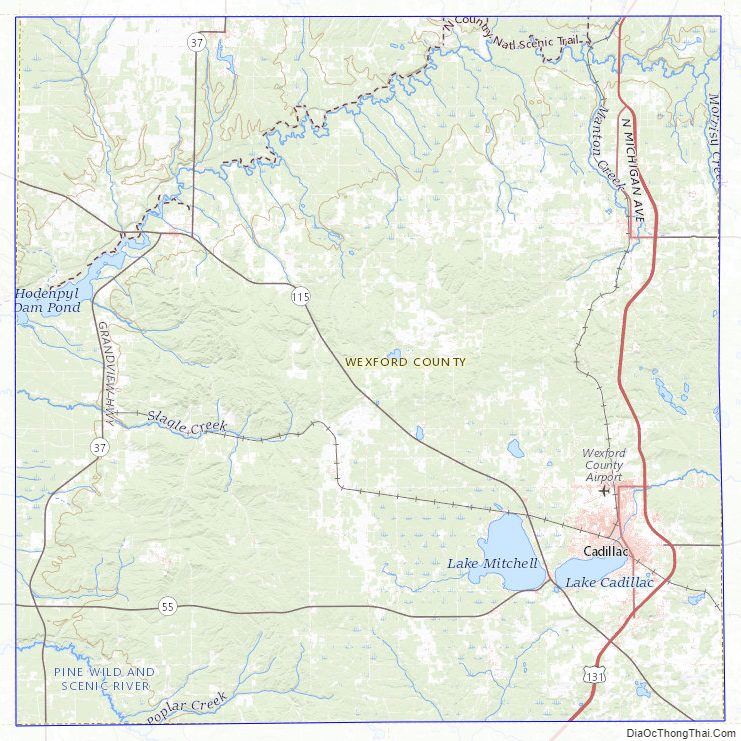
Wexford County Topographic Map
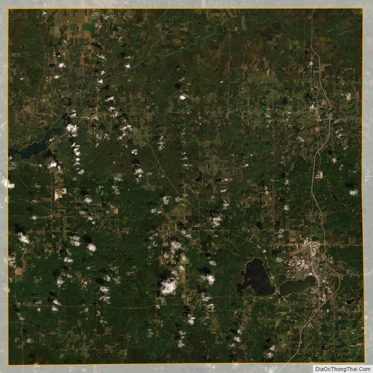
Wexford County Satellite Map
Wexford County Outline Map