Bradford is a city in McKean County, Pennsylvania. It is located close to the border with New York state and approximately 78 miles (126 km) south of Buffalo, New York. Home to an oil refinery, Zippo headquarters and a University of Pittsburgh branch campus, Bradford is the principal city in the Bradford, PA Micropolitan Statistical Area. The population was 7,825 at the 2020 United States Census.
| Name: | Bradford city |
|---|---|
| LSAD Code: | 25 |
| LSAD Description: | city (suffix) |
| State: | Pennsylvania |
| County: | McKean County |
| Incorporated: | 1879 |
| Total Area: | 3.40 sq mi (8.80 km²) |
| Land Area: | 3.33 sq mi (8.62 km²) |
| Water Area: | 0.07 sq mi (0.19 km²) |
| Total Population: | 7,849 |
| Population Density: | 2,359.89/sq mi (911.07/km²) |
| Area code: | 814 |
| FIPS code: | 4208040 |
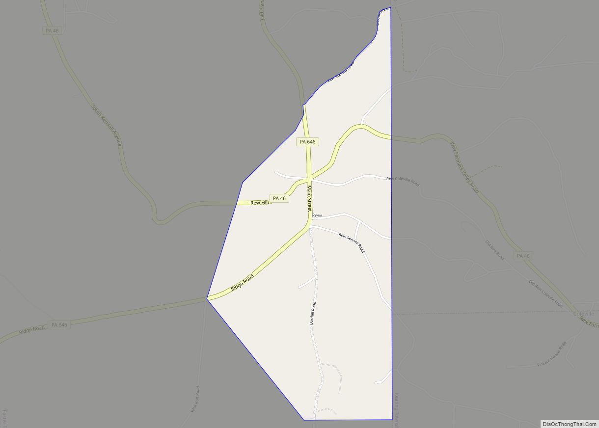
Online Interactive Map
Click on ![]() to view map in "full screen" mode.
to view map in "full screen" mode.
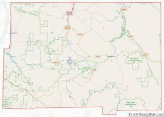
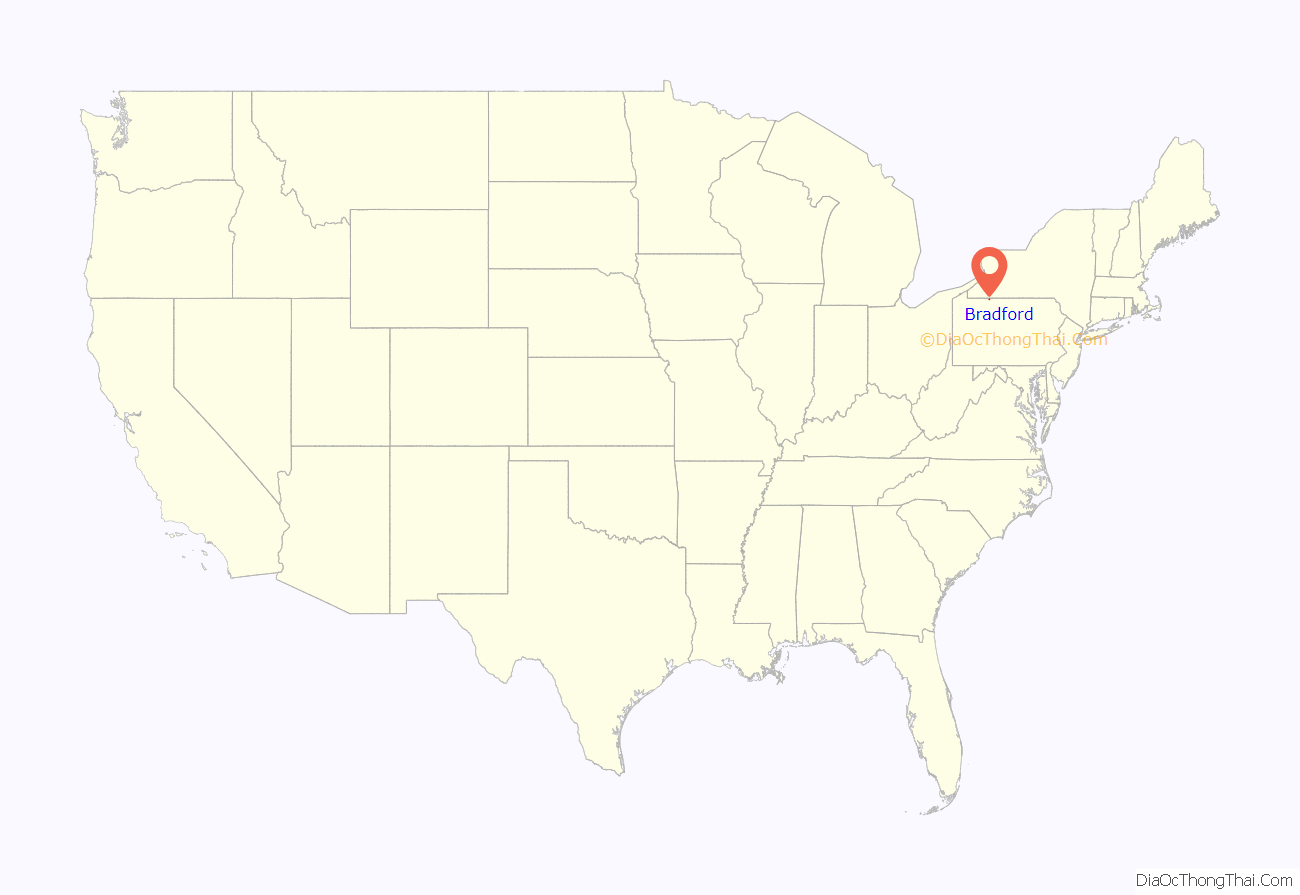
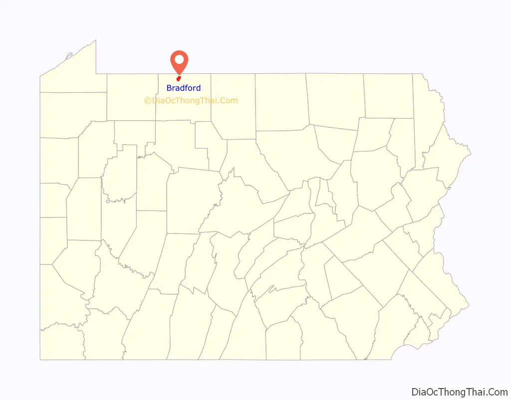
Bradford location map. Where is Bradford city?
History
Settled in 1823, Bradford was chartered as a city in 1879 and emerged as a wild oil boomtown in the Pennsylvania oil rush in the late 19th century. The area’s Pennsylvania Grade crude oil has superior qualities and is free of asphaltic constituents, contains only trace amounts of sulfur and nitrogen, and has excellent characteristics for refining into lubricants. The Bradford & Foster Brook Railway was built in 1876 as one of, if not the first, monorails in America, when Bradford was a booming oil town. World-famous Kendall racing oils were produced in Bradford.
Bradford was the site of an important step in the development of personal aviation. In the 1930s, the Taylor Brothers Aircraft Corporation produced an airplane called the Taylor Cub in Bradford. After a fire at the factory, the company was bought by William T. Piper. After relocating his factory to Lock Haven, Pennsylvania, Piper resumed production of a revised design of the airplane first produced in Bradford, which became the world-famous Piper Cub.
The population peaked at 19,306 in 1930, but at the 2010 census had dropped to 8,770. Two adjoining townships, home to approximately 9,000 people, make the population of Greater Bradford about 18,000. Famous Bradfordians include the opera singer Marilyn Horne, the Hall of Fame baseball player Rube Waddell and the five-time All-Star football player Stew Barber. A famous perpetual motion machine hoax was created in Bradford in 1897 by J.M. Aldrich. The hoax was exposed in the July 1, 1899, issue of the Scientific American magazine. Ultimately, Aldrich was sentenced to four months in the county jail.
The Bradford Armory, Bradford Downtown Historic District, Bradford Old City Hall, and Rufus Barrett Stone House are listed on the National Register of Historic Places.
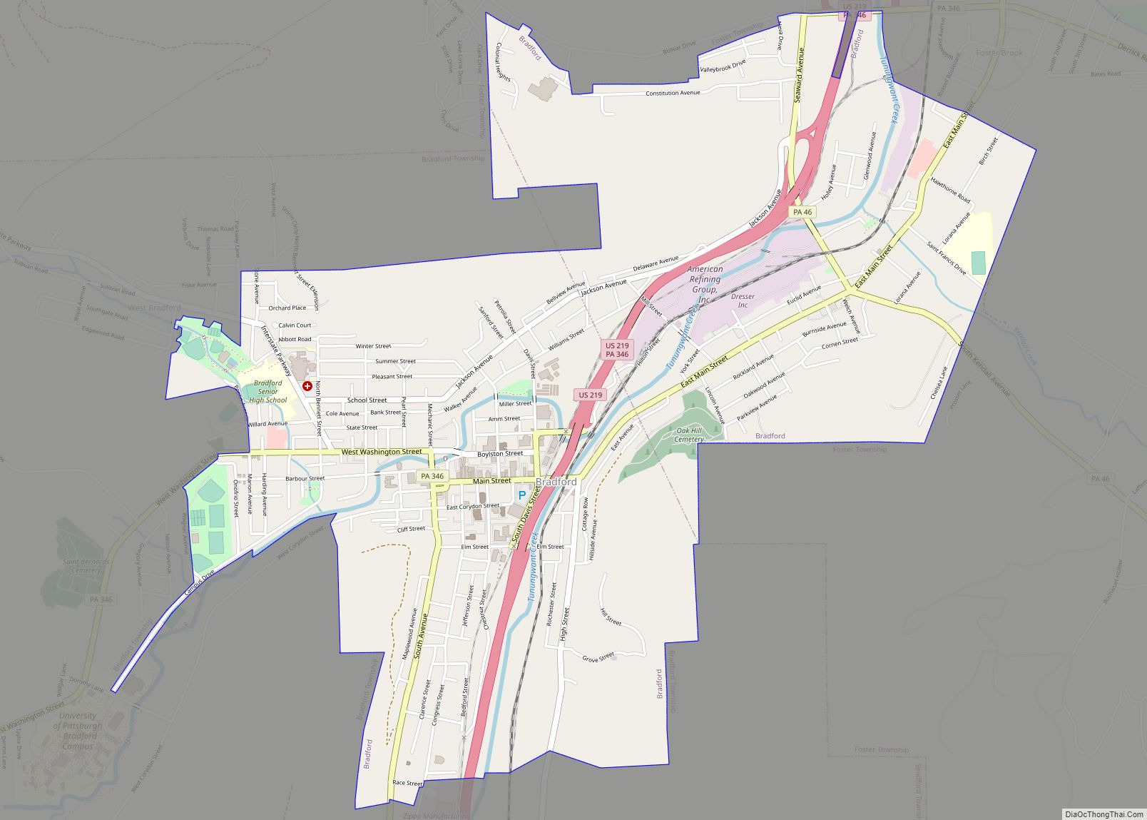
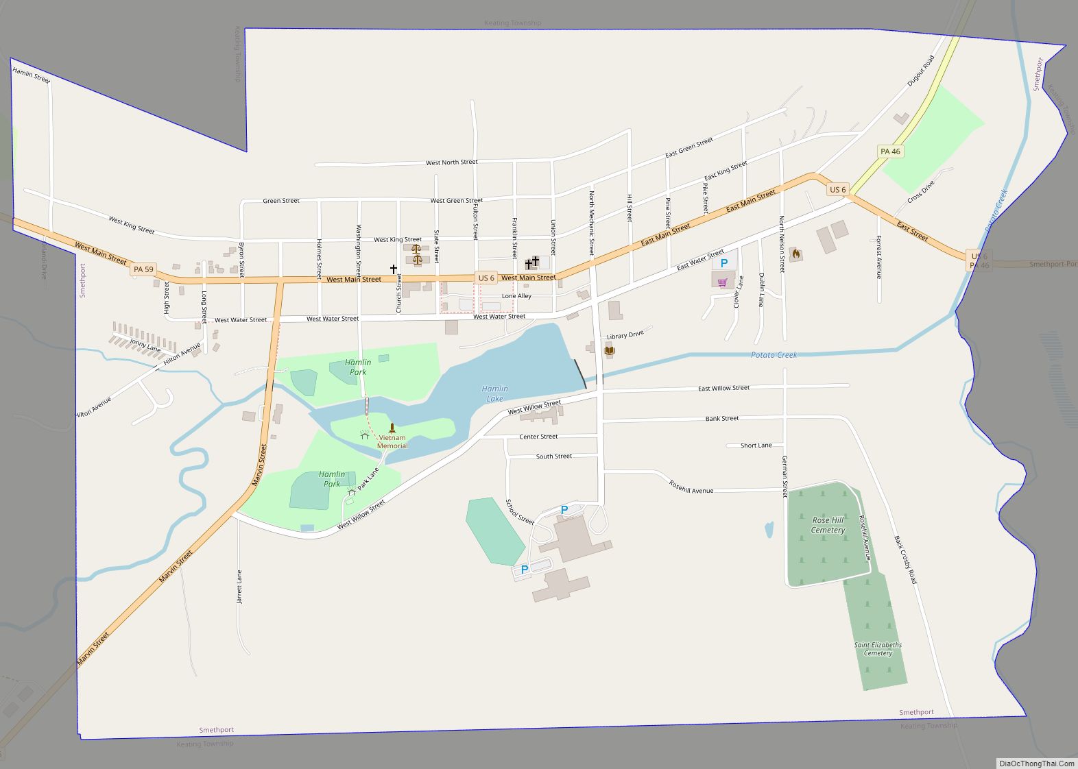
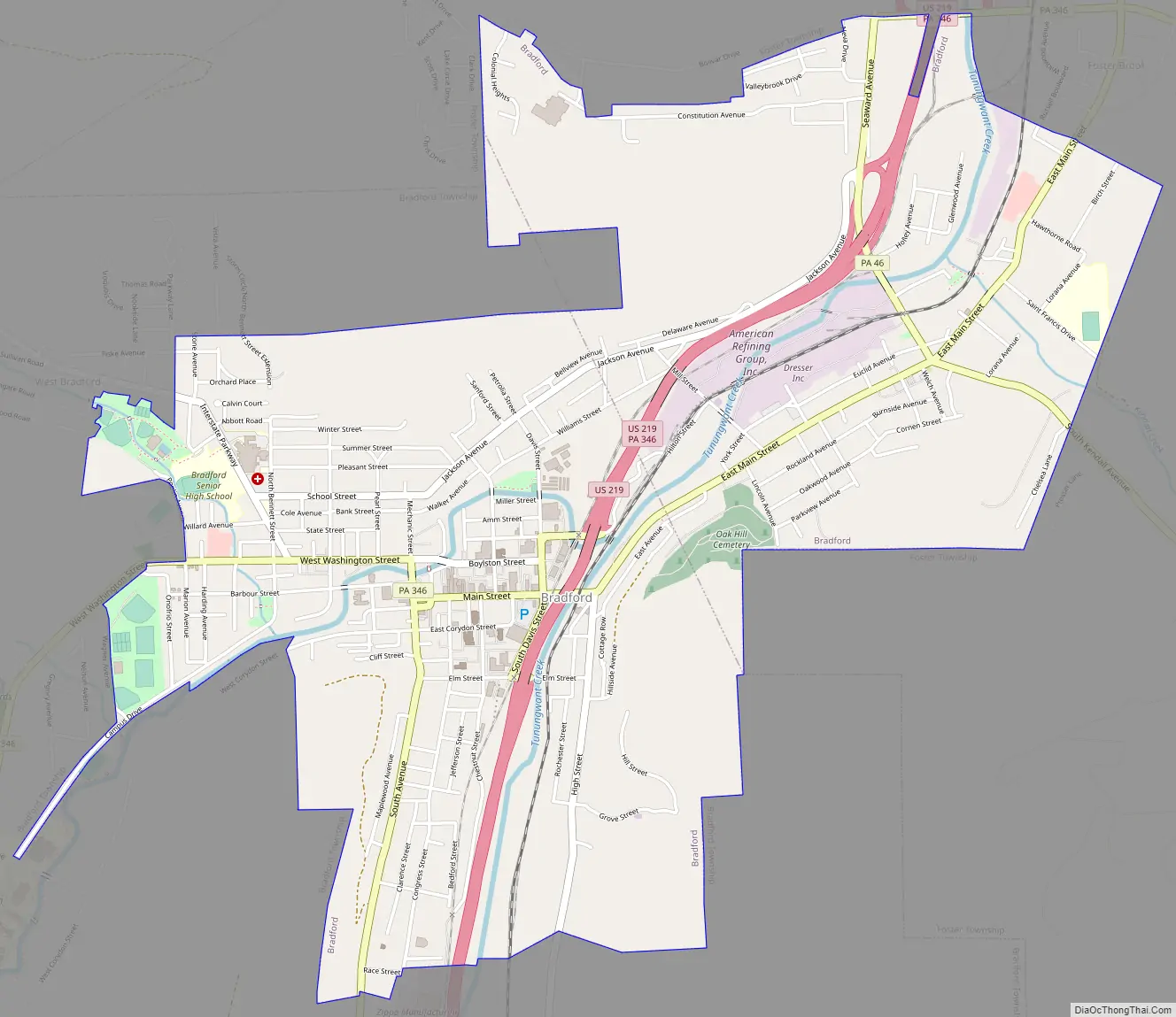
Bradford Road Map
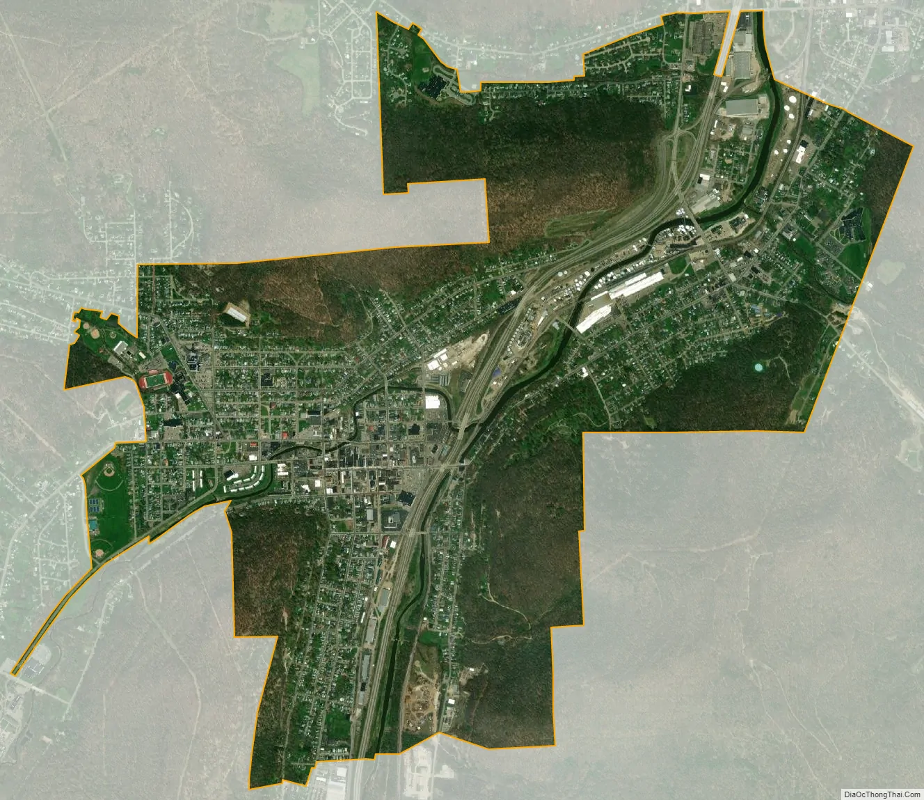
Bradford city Satellite Map
Geography
Bradford is located on U.S. Route 219, just south of its junction with Interstate 86 north of the New York border. According to the U.S. Census Bureau, the city has a total area of 3.5 square miles (9.1 km), all land. Bradford is situated in a valley in the Allegheny Mountains and is surrounded by woods and steep hills. Two branches of the Tunungwant Creek enter the city, merge and flow north into the Allegheny River just across the New York border.
Bradford Regional Airport is located approximately 15 miles (24 km) south of the city, at Mount Alton. The elevation of the city is 1,443 feet (440 meters) above sea level, but the airport is at an elevation of 2,142 feet (653 meters) above sea level. Because of the higher elevation, the airport often has the coldest reported air temperatures in Pennsylvania. The airport has one of the few National Weather Service stations across the entire northern tier of the state. Temperatures in the city are typically three to seven degrees warmer than at the airport due to the difference in elevation, and actual city temperatures are more representative of other communities in northern Pennsylvania and southwestern New York than are the airport’s.
See also
Map of Pennsylvania State and its subdivision:- Adams
- Allegheny
- Armstrong
- Beaver
- Bedford
- Berks
- Blair
- Bradford
- Bucks
- Butler
- Cambria
- Cameron
- Carbon
- Centre
- Chester
- Clarion
- Clearfield
- Clinton
- Columbia
- Crawford
- Cumberland
- Dauphin
- Delaware
- Elk
- Erie
- Fayette
- Forest
- Franklin
- Fulton
- Greene
- Huntingdon
- Indiana
- Jefferson
- Juniata
- Lackawanna
- Lancaster
- Lawrence
- Lebanon
- Lehigh
- Luzerne
- Lycoming
- Mc Kean
- Mercer
- Mifflin
- Monroe
- Montgomery
- Montour
- Northampton
- Northumberland
- Perry
- Philadelphia
- Pike
- Potter
- Schuylkill
- Snyder
- Somerset
- Sullivan
- Susquehanna
- Tioga
- Union
- Venango
- Warren
- Washington
- Wayne
- Westmoreland
- Wyoming
- York
- Alabama
- Alaska
- Arizona
- Arkansas
- California
- Colorado
- Connecticut
- Delaware
- District of Columbia
- Florida
- Georgia
- Hawaii
- Idaho
- Illinois
- Indiana
- Iowa
- Kansas
- Kentucky
- Louisiana
- Maine
- Maryland
- Massachusetts
- Michigan
- Minnesota
- Mississippi
- Missouri
- Montana
- Nebraska
- Nevada
- New Hampshire
- New Jersey
- New Mexico
- New York
- North Carolina
- North Dakota
- Ohio
- Oklahoma
- Oregon
- Pennsylvania
- Rhode Island
- South Carolina
- South Dakota
- Tennessee
- Texas
- Utah
- Vermont
- Virginia
- Washington
- West Virginia
- Wisconsin
- Wyoming