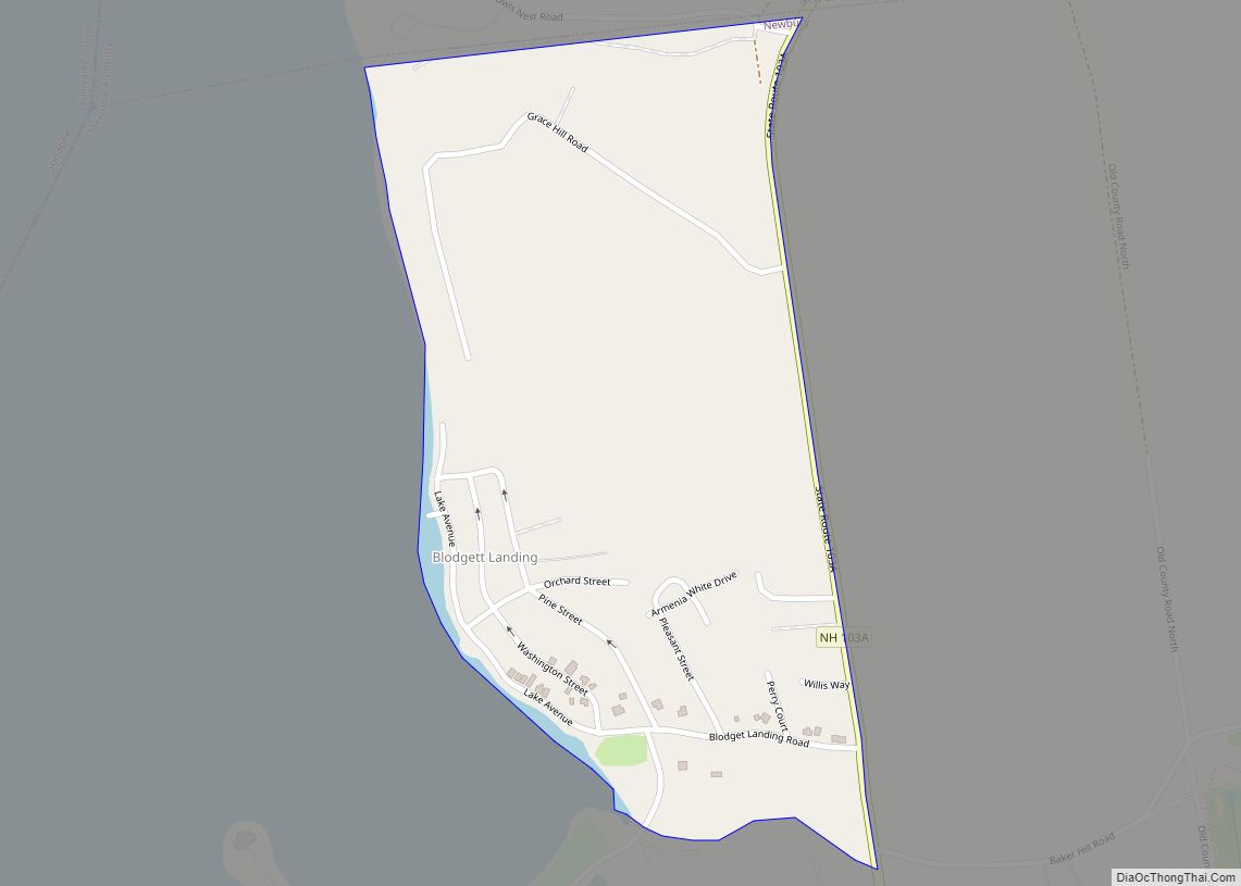
Blodgett Landing (frequently spelled Blodgetts Landing or Blodgett’s Landing) is a census-designated place in the town of Newbury, Merrimack County, New Hampshire, United States. It had a population of 152 at the 2020 census, up from 101 at the 2010 census.
| Name: | Blodgett Landing CDP |
|---|---|
| LSAD Code: | 57 |
| LSAD Description: | CDP (suffix) |
| State: | New Hampshire |
| County: | Merrimack County |
| Elevation: | 1,120 ft (340 m) |
| Total Area: | 0.29 sq mi (0.75 km²) |
| Land Area: | 0.29 sq mi (0.75 km²) |
| Water Area: | 0.00 sq mi (0.00 km²) |
| Total Population: | 152 |
| Population Density: | 522.34/sq mi (201.76/km²) |
| ZIP code: | 03255 (Newbury) |
| Area code: | 603 |
| FIPS code: | 3306020 |
| GNISfeature ID: | 0871303 |
Online Interactive Map
Click on ![]() to view map in "full screen" mode.
to view map in "full screen" mode.
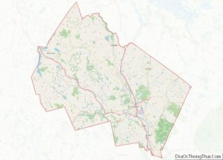
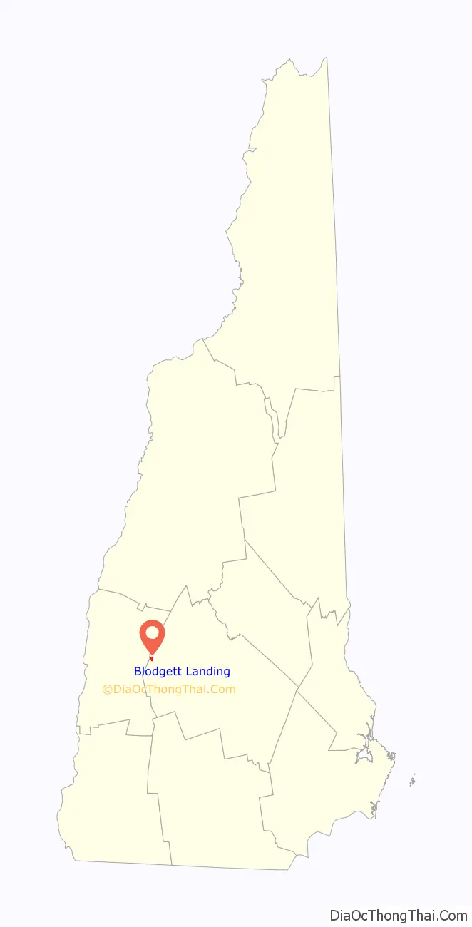
Blodgett Landing location map. Where is Blodgett Landing CDP?

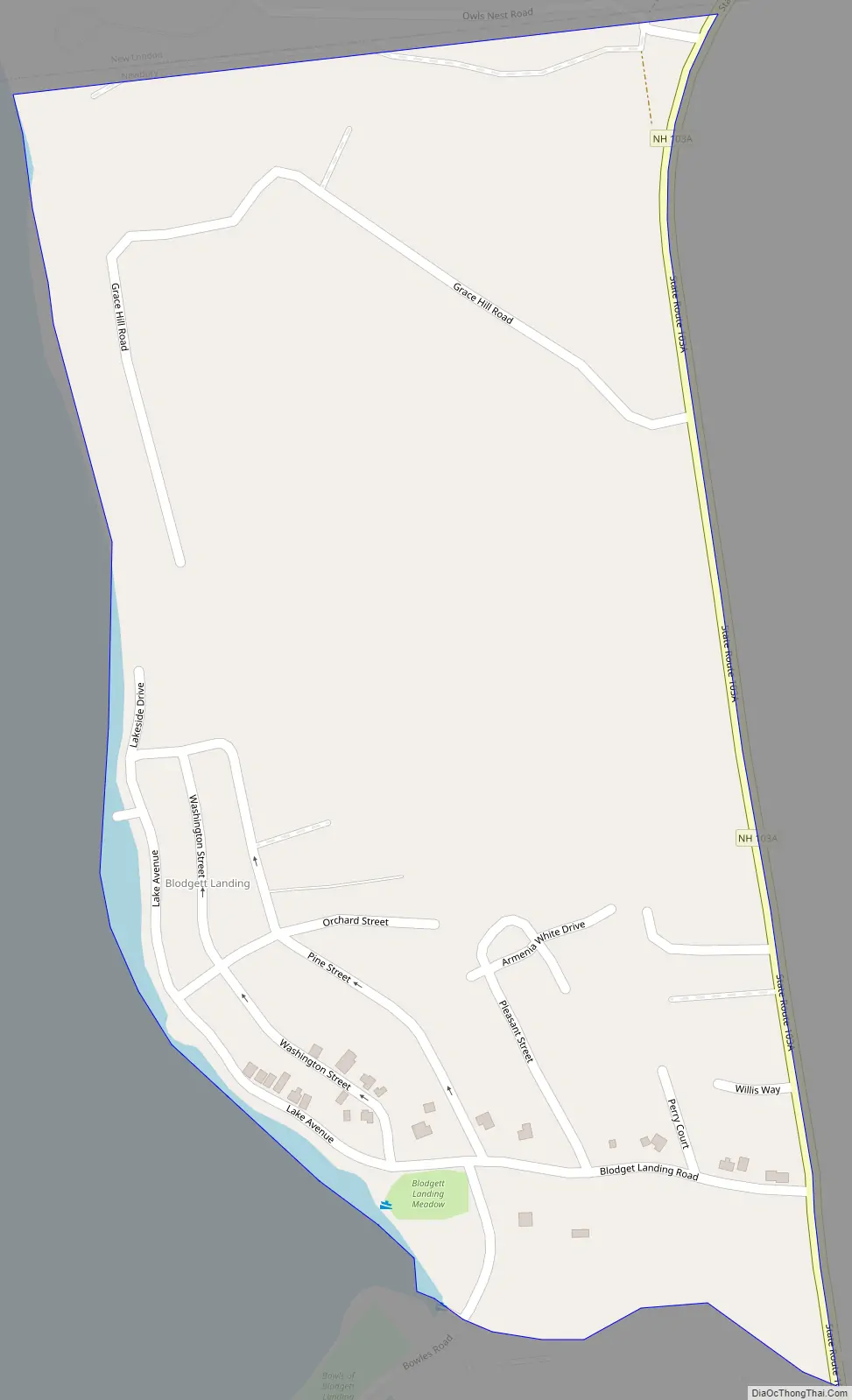
Blodgett Landing Road Map
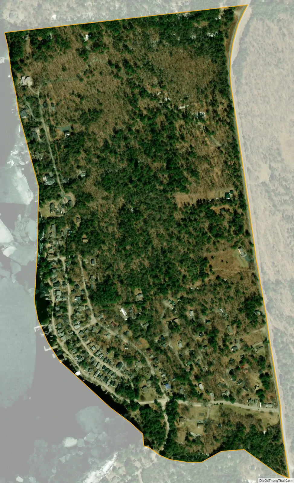
Blodgett Landing city Satellite Map
Geography
Blodgett Landing is located in the northern part of Newbury, between New Hampshire Route 103A and the shore of Lake Sunapee. It is bordered to the north by the town of New London.
According to the U.S. Census Bureau, the Blodgett Landing CDP has a total area of 0.29 square miles (0.75 km), all land.
See also
Map of New Hampshire State and its subdivision: Map of other states:- Alabama
- Alaska
- Arizona
- Arkansas
- California
- Colorado
- Connecticut
- Delaware
- District of Columbia
- Florida
- Georgia
- Hawaii
- Idaho
- Illinois
- Indiana
- Iowa
- Kansas
- Kentucky
- Louisiana
- Maine
- Maryland
- Massachusetts
- Michigan
- Minnesota
- Mississippi
- Missouri
- Montana
- Nebraska
- Nevada
- New Hampshire
- New Jersey
- New Mexico
- New York
- North Carolina
- North Dakota
- Ohio
- Oklahoma
- Oregon
- Pennsylvania
- Rhode Island
- South Carolina
- South Dakota
- Tennessee
- Texas
- Utah
- Vermont
- Virginia
- Washington
- West Virginia
- Wisconsin
- Wyoming