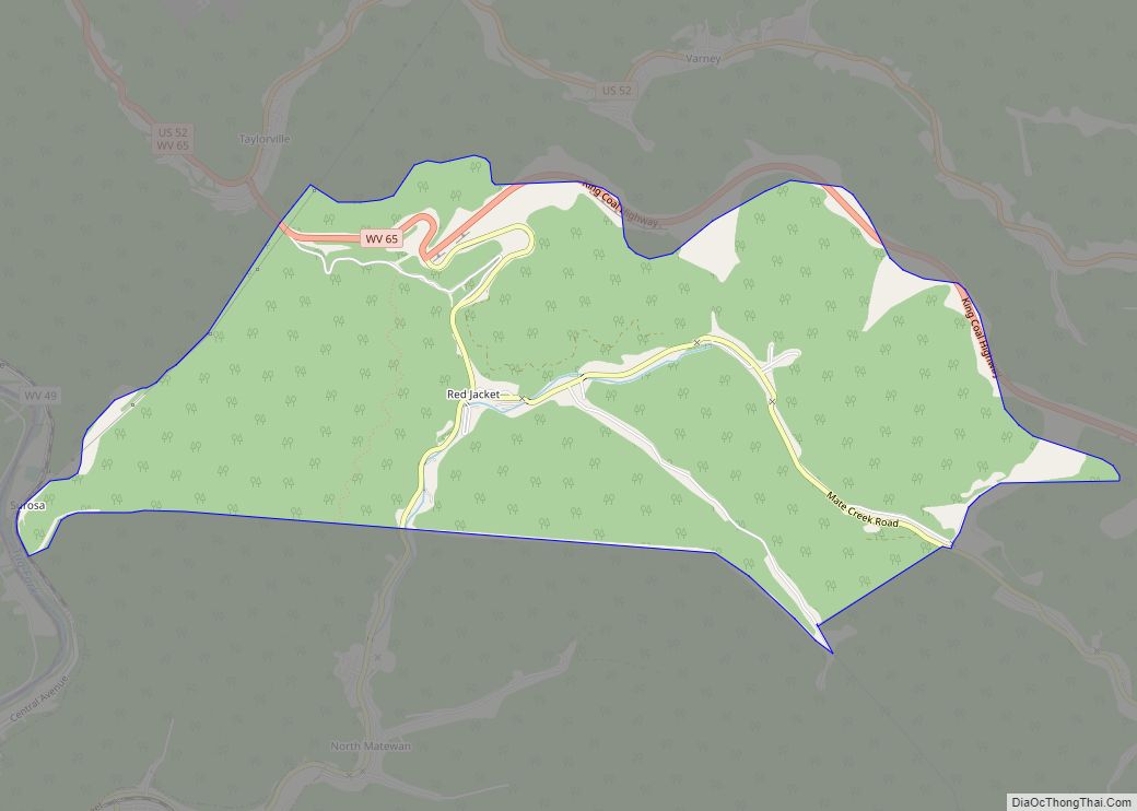
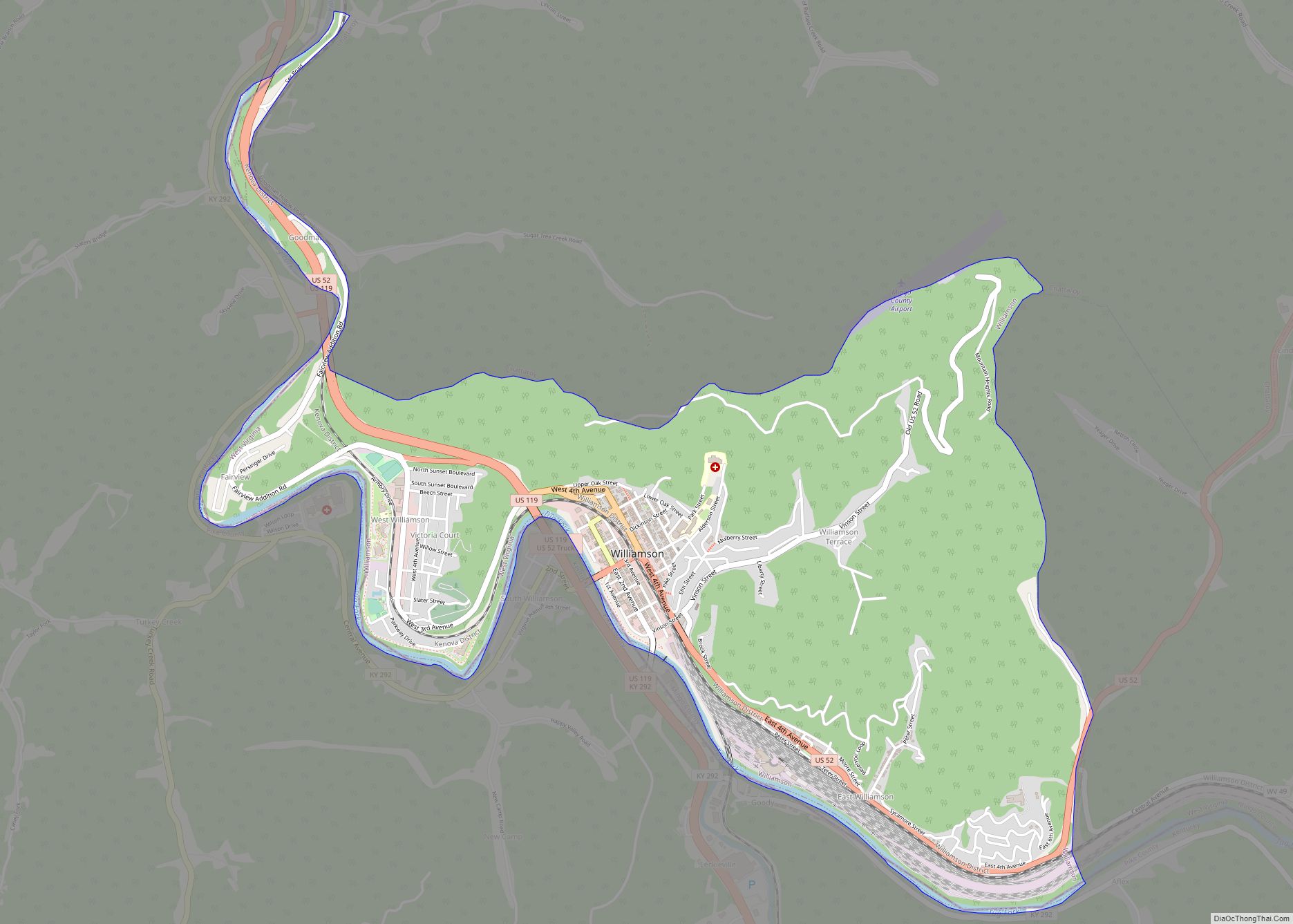
Williamson is a city in Mingo County, West Virginia, United States, situated along the Tug Fork River. The population was 3,191 at the 2010 census. It is the county seat of Mingo County, and is the county’s largest and most populous city. Williamson is home to Southern West Virginia Community and Technical College. The Tug Fork River separates Williamson from South Williamson, Kentucky.
Williamson is the site of a large rail yard built by the former Norfolk and Western Railroad (now Norfolk Southern Railway), which was built to service the many coal mines of the region. The city is protected by a floodwall, completed by the U.S. Army Corps of Engineers in 1991 in response to devastating floods along the Tug Fork River in 1977 and again in 1984. The wall incorporates floodgates along major access points which, when locked, form a solid barrier against floodwaters. There have only been two uses of the gates thus far: the first occurring in 2002 during a major flood in the region, and the second occurring in 2003, when only two lower lying gates were closed in anticipation of rising water levels.
The local economy is largely fueled by coal mining, transportation, health care and retail businesses.
| Name: | Williamson city |
|---|---|
| LSAD Code: | 25 |
| LSAD Description: | city (suffix) |
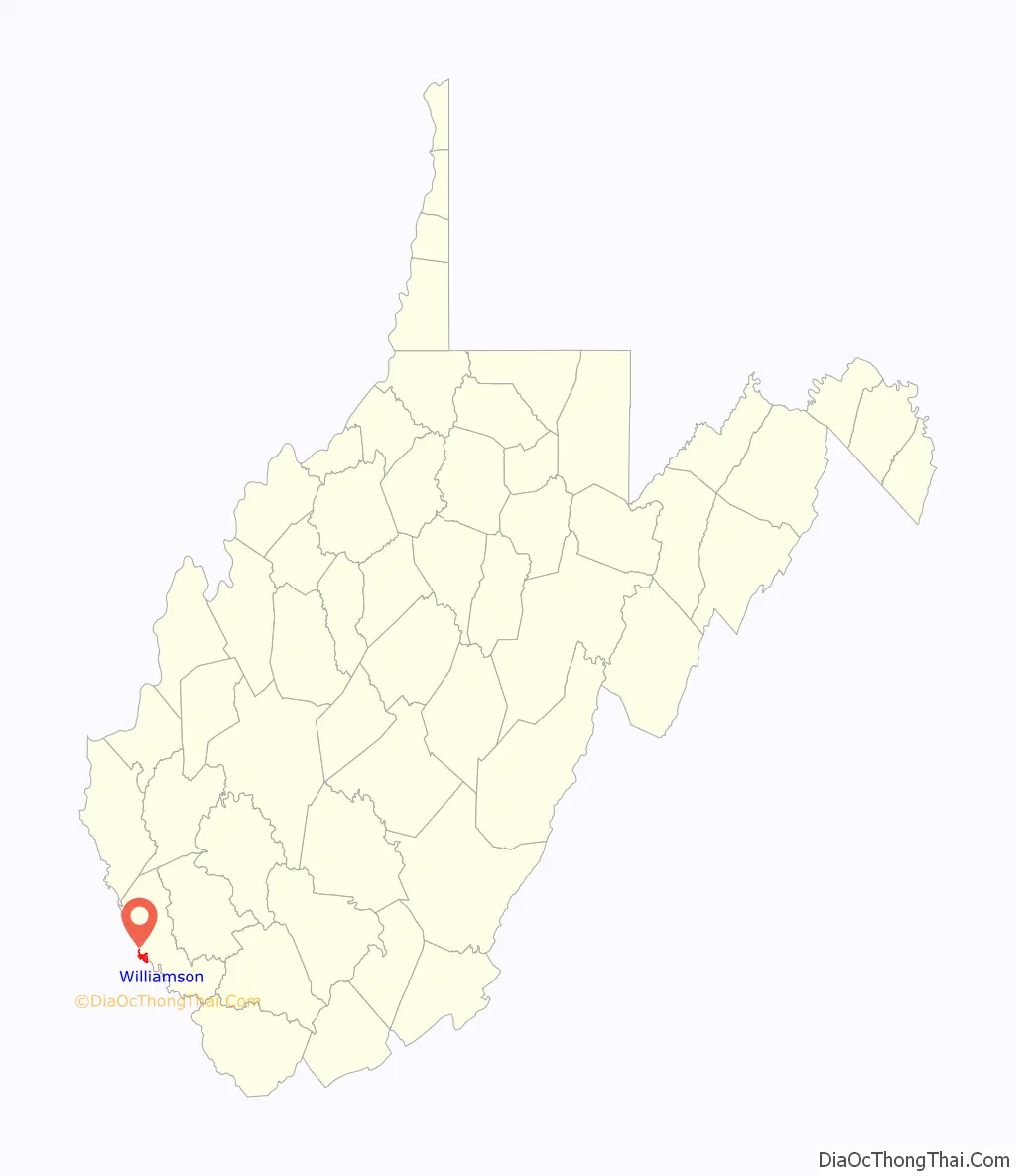
| State: | West Virginia |
| County: | Mingo County |
| Elevation: | 653 ft (199 m) |
| Total Area: | 3.27 sq mi (8.48 km²) |
| Land Area: | 3.27 sq mi (8.48 km²) |
| Water Area: | 0.00 sq mi (0.00 km²) |
| Total Population: | 3,191 |
| Population Density: | 817.10/sq mi (315.52/km²) |
| ZIP code: | 25661 |
| Area code: | 304 |
| FIPS code: | 5487508 |
| GNISfeature ID: | 1549185 |
| Website: | cityofwilliamson.org |
Online Interactive Map
Click on ![]() to view map in "full screen" mode.
to view map in "full screen" mode.
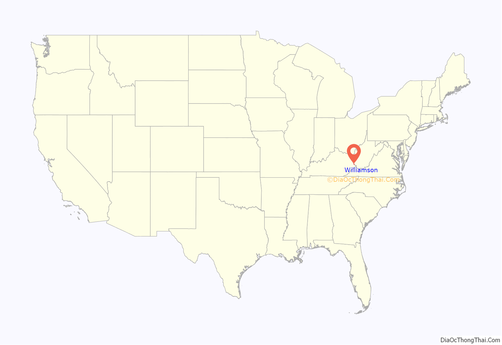
Williamson location map. Where is Williamson city?
History
Williamson was incorporated in 1892. Most historians believe that Williamson was named in honor of Wallace J. Williamson. He owned the land where Williamson now stands, earned a fortune in real estate investments in the area, and founded the city’s first bank and its first hotel. Others claim that the city was named for Wallace’s father, Benjamin F. Williamson. He owned most of the land in the region before dividing it among his sons.
Williamson grew rapidly once the railroad connected into the town. Its population, just 688 in 1900, jumped to 6,819 in 1920 and 9,410 in 1930.
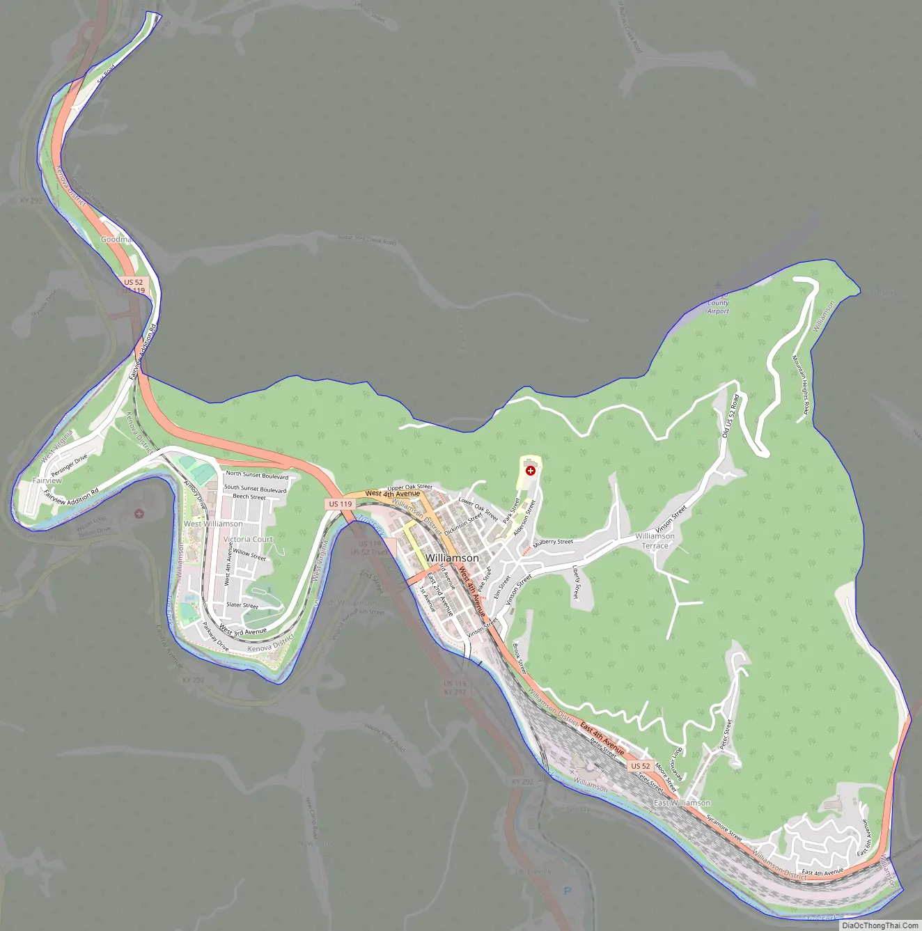
Williamson Road Map
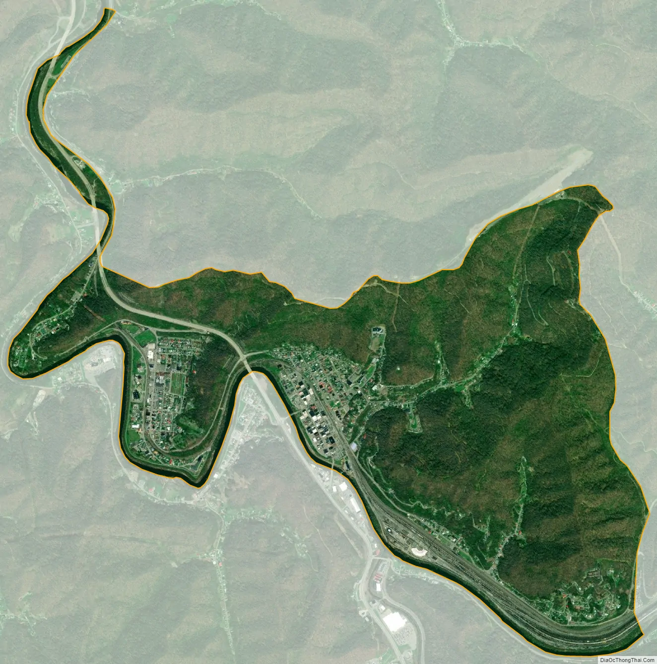
Williamson city Satellite Map
Geography
According to the United States Census Bureau, the city has a total area of 3.26 square miles (8.44 km), all land.
Climate
The climate in this area is characterized by hot, humid summers and generally mild to cool winters. According to the Köppen Climate Classification system, Williamson has a humid subtropical climate, abbreviated “Cfa” on climate maps.
See also
Map of West Virginia State and its subdivision:- Barbour
- Berkeley
- Boone
- Braxton
- Brooke
- Cabell
- Calhoun
- Clay
- Doddridge
- Fayette
- Gilmer
- Grant
- Greenbrier
- Hampshire
- Hancock
- Hardy
- Harrison
- Jackson
- Jefferson
- Kanawha
- Lewis
- Lincoln
- Logan
- Marion
- Marshall
- Mason
- McDowell
- Mercer
- Mineral
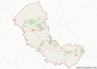
- Mingo
- Monongalia
- Monroe
- Morgan
- Nicholas
- Ohio
- Pendleton
- Pleasants
- Pocahontas
- Preston
- Putnam
- Raleigh
- Randolph
- Ritchie
- Roane
- Summers
- Taylor
- Tucker
- Tyler
- Upshur
- Wayne
- Webster
- Wetzel
- Wirt
- Wood
- Wyoming
- Alabama
- Alaska
- Arizona
- Arkansas
- California
- Colorado
- Connecticut
- Delaware
- District of Columbia
- Florida
- Georgia
- Hawaii
- Idaho
- Illinois
- Indiana
- Iowa
- Kansas
- Kentucky
- Louisiana
- Maine
- Maryland
- Massachusetts
- Michigan
- Minnesota
- Mississippi
- Missouri
- Montana
- Nebraska
- Nevada
- New Hampshire
- New Jersey
- New Mexico
- New York
- North Carolina
- North Dakota
- Ohio
- Oklahoma
- Oregon
- Pennsylvania
- Rhode Island
- South Carolina
- South Dakota
- Tennessee
- Texas
- Utah
- Vermont
- Virginia
- Washington
- West Virginia
- Wisconsin
- Wyoming