Mammoth Lakes is a town in Mono County, California, and is the county’s only incorporated community. It is located immediately to the east of Mammoth Mountain, at an elevation of 7,880 feet (2,400 m). As of the 2020 United States Census, the population was 7,191, reflecting a 12.7% decrease from the 2010 Census.
| Name: | Mammoth Lakes town |
|---|---|
| LSAD Code: | 43 |
| LSAD Description: | town (suffix) |
| State: | California |
| County: | Mono County |
| Elevation: | 7,880 ft (2,402 m) |
| Total Area: | 25.31 sq mi (65.54 km²) |
| Land Area: | 24.87 sq mi (64.40 km²) |
| Water Area: | 0.44 sq mi (1.14 km²) 1.74% |
| Total Population: | 7,191 |
| Population Density: | 289.14/sq mi (111.66/km²) |
| ZIP code: | 93546 |
| Area code: | 442/760 |
| FIPS code: | 0645358 |
| Website: | www.ci.mammoth-lakes.ca.us |
Online Interactive Map
Click on ![]() to view map in "full screen" mode.
to view map in "full screen" mode.
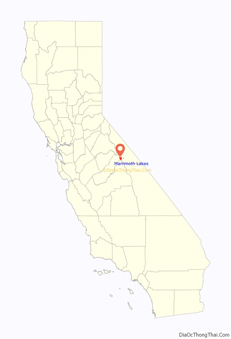
Mammoth Lakes location map. Where is Mammoth Lakes town?

History
The Mono people were the first settlers of the Mammoth Lakes area, thousands of years ago. They settled in the valley but traveled by foot to other areas when trading with different tribes.
The European history of Mammoth Lakes started in 1877, when four prospectors staked a claim on Mineral Hill, south of the current town, along Old Mammoth Road. In 1878, the Mammoth Mining Company was organized to mine Mineral Hill, which caused a gold rush. By the end of 1878, 1500 people settled in the mining camp called Mammoth City. By 1880, the company had shut down, and by 1888, the population declined to less than 10 people. By the early 1900s, the town of Mammoth was informally established near Mammoth Creek. The economy of the original town was based on logging and tourism. The first post office at Mammoth Lakes opened in 1923.
In 2004, the Mammoth Ski Museum opened in town. The museum featured many vintage artifacts, photographs, and posters. A movie documenting the life of the founder of the ski resort (Dave McCoy) and those of early famous skiers in the area is shown. In 2010, photographs taken by Dave McCoy were featured in an exhibit at the museum.
In 2008, after a jury trial, the Mono County Superior Court entered a $43 million judgment against the Town of Mammoth Lakes for breach of a development agreement. The California Court of Appeal, Third District, affirmed the judgment in December 2010, and the California Supreme Court declined to hear the appeal on March 23, 2011. On Monday July 2, 2012, Mammoth Lakes filed for bankruptcy in the face of the judgement. Later the same year, the bankruptcy was dismissed as a result of a settlement between the town and its largest creditor.
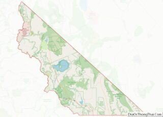
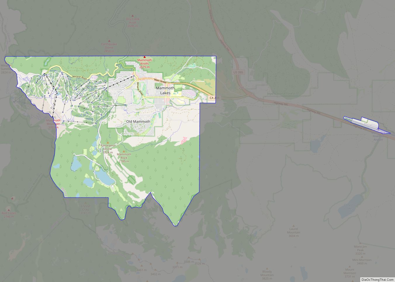
Mammoth Lakes Road Map
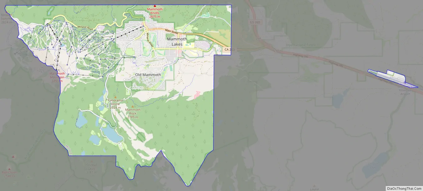
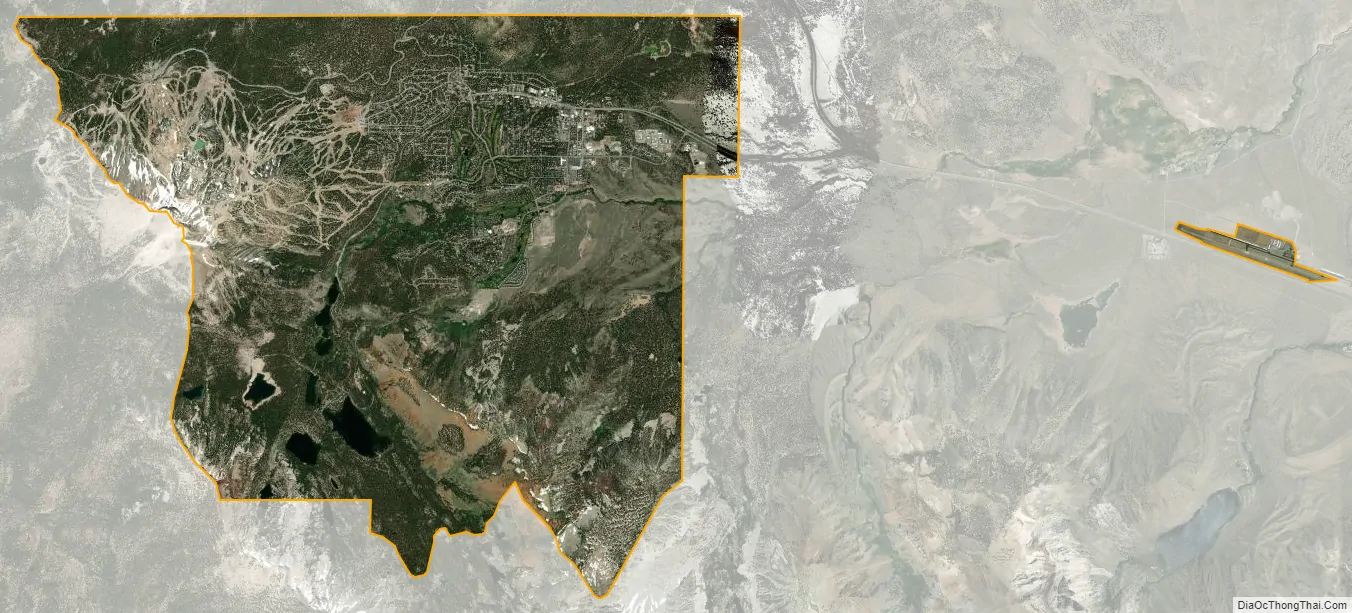
Mammoth Lakes city Satellite Map
Geography
According to the United States Census Bureau, the town has a total area of 25.3 square miles (66 km), of which 24.9 sq mi (64 km) are land, and 0.4 sq mi (1.0 km) (1.74%) water.
Mammoth Lakes lies on the edge of the Long Valley Caldera. The area around the town is geologically active, with hot springs and rhyolite domes that are less than 1000 years old.
Visitors can take State Route 203 from the town of Mammoth Lakes to the Mammoth Mountain Ski Area, over Minaret Summit, then down to Devils Postpile National Monument, with access to the Ansel Adams Wilderness.
The area has natural hot springs which are sometimes used after skiing. Other features include lakes, soda springs, and an obsidian dome. Mammoth Lakes is north of the Owens Valley, a scenic area with extensive hiking opportunities. Lake Mary is south of the town and has recreation facilities.
The town is surrounded by mountains: on the west, Mammoth Mountain looms over the town, while to the south, the Sherwin Range dominates the view. This hilly terrain and the high altitude makes the area great for high-altitude athletic training, including among elite long-distance runners, who live and train in the thin air.
The town is surrounded by acres of forest and is bordered by the Ansel Adams and John Muir Wilderness Areas. The eastern entrance of Yosemite National Park is located 32 miles (51 km) north of town. The town is situated in the southwestern, mountainous part of Mono County, California.
Climate
Mammoth Lakes has a dry-summer continental climate (Dsb) with long, very snowy winters, and warm, dry summers. Snowfall is particularly heavy from December through March, and averages 206 inches (5.23 m) per season. On average, there are 21 days of 80 °F (27 °C)+ highs, twenty-one days of highs under 32 °F (0.0 °C) and 4.6 nights of sub-0 °F (−18 °C) lows annually.
In the wake of the 2022–2023 California floods, Mammoth Lakes was the snowiest place in North America.
See also
Map of California State and its subdivision:- Alameda
- Alpine
- Amador
- Butte
- Calaveras
- Colusa
- Contra Costa
- Del Norte
- El Dorado
- Fresno
- Glenn
- Humboldt
- Imperial
- Inyo
- Kern
- Kings
- Lake
- Lassen
- Los Angeles
- Madera
- Marin
- Mariposa
- Mendocino
- Merced
- Modoc
- Mono
- Monterey
- Napa
- Nevada
- Orange
- Placer
- Plumas
- Riverside
- Sacramento
- San Benito
- San Bernardino
- San Diego
- San Francisco
- San Joaquin
- San Luis Obispo
- San Mateo
- Santa Barbara
- Santa Clara
- Santa Cruz
- Shasta
- Sierra
- Siskiyou
- Solano
- Sonoma
- Stanislaus
- Sutter
- Tehama
- Trinity
- Tulare
- Tuolumne
- Ventura
- Yolo
- Yuba
- Alabama
- Alaska
- Arizona
- Arkansas
- California
- Colorado
- Connecticut
- Delaware
- District of Columbia
- Florida
- Georgia
- Hawaii
- Idaho
- Illinois
- Indiana
- Iowa
- Kansas
- Kentucky
- Louisiana
- Maine
- Maryland
- Massachusetts
- Michigan
- Minnesota
- Mississippi
- Missouri
- Montana
- Nebraska
- Nevada
- New Hampshire
- New Jersey
- New Mexico
- New York
- North Carolina
- North Dakota
- Ohio
- Oklahoma
- Oregon
- Pennsylvania
- Rhode Island
- South Carolina
- South Dakota
- Tennessee
- Texas
- Utah
- Vermont
- Virginia
- Washington
- West Virginia
- Wisconsin
- Wyoming