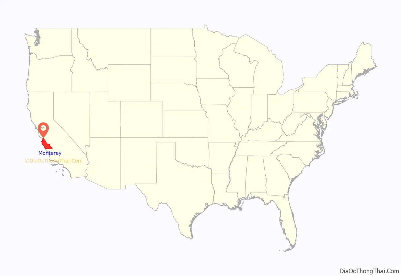
Monterey County (/ˌmɒntəˈreɪ/ (listen) MON-tə-RAY), officially the County of Monterey, is a county located on the Pacific coast in the U.S. state of California. As of the 2020 census, its population was 439,035. The county’s largest city and county seat is Salinas.
Monterey County comprises the Salinas, California, Metropolitan Statistical Area. It borders on the southern part of Monterey Bay, after which it is named. (The northern half of the bay is in Santa Cruz County.) Monterey County is a member of the regional governmental agency: the Association of Monterey Bay Area Governments.
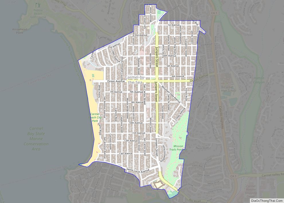
Scenic features along the coastline – including Carmel-by-the-Sea, Big Sur, State Route 1, and the 17 Mile Drive on the Monterey Peninsula – have made the county famous around the world. Back when California was under Spanish and Mexican rule, the city of Monterey was its capital. Today, the economy of the county is mostly based on tourism in its coastal regions, and on agriculture in the region of the Salinas River valley. Most of the county’s inhabitants live near the northern coast or in Salinas Valley; the southern coast and inland mountainous regions are sparsely populated.
| Name: | Monterey County |
|---|---|
| FIPS code: | 06-053 |
| State: | California |
| Founded: | 1850 |
| Named for: | Monterey Bay |
| Seat: | Salinas |
| Largest city: | Salinas |
| Total Area: | 3,771 sq mi (9,770 km²) |
| Land Area: | 3,281 sq mi (8,500 km²) |
| Total Population: | 439,035 |
| Population Density: | 134/sq mi (52/km²) |
| Time zone: | UTC-8 (Pacific Time Zone) |
| Summer Time Zone (DST): | UTC-7 (Pacific Daylight Time) |
| Website: | www.co.monterey.ca.us |
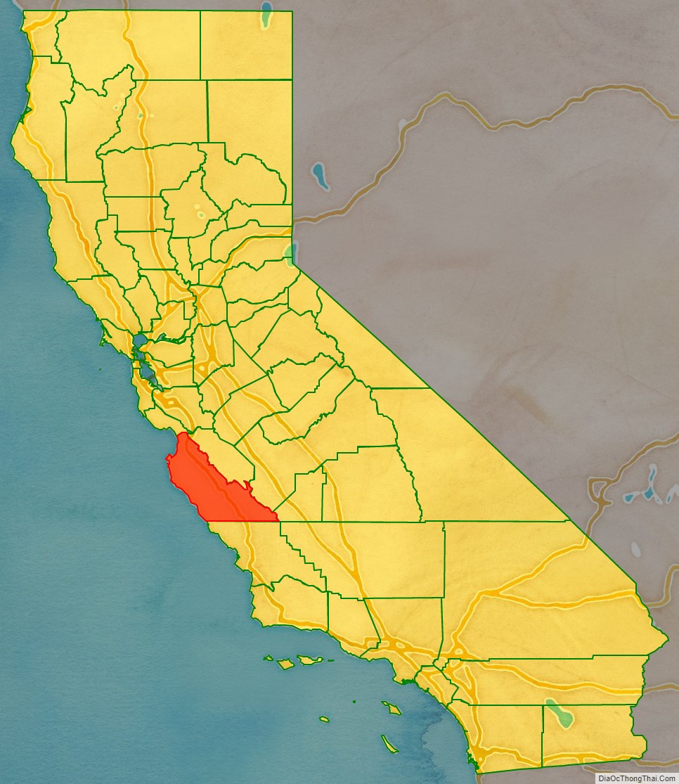
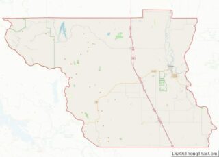
Monterey County location map. Where is Monterey County?
History
Monterey County was one of the original counties of California, created in 1850 at the time of statehood. Parts of the county were given to San Benito County in 1874. The area was originally populated by Ohlone, Salinan and the Esselen tribes.
The county derives its name from Monterey Bay. The bay was named by Sebastián Vizcaíno in 1602 in honor of the Conde de Monterrey (or Count of Monterrey), then the Viceroy of New Spain. Monterrey is a variation of Monterrei, a municipality in the Galicia region of Spain where the Conde de Monterrey and his father (the Fourth Count of Monterrei) were from.
Monterey County Road Map
Geography
According to the U.S. Census Bureau, the county has a total area of 3,771 square miles (9,770 km), of which 3,281 square miles (8,500 km) is land and 491 square miles (1,270 km) (13%) is water. The county is roughly 1.5 times larger than the state of Delaware, and roughly similar in population and the size to Santa Barbara County.
Adjacent counties
Santa Cruz County to the north, San Benito County, Fresno County, and Kings County to the east as well as San Luis Obispo County to the south.
National protected areas
- Los Padres National Forest (part)
- Pinnacles National Park (part)
- Salinas River National Wildlife Refuge
- Ventana Wilderness (part)
In October 2019, the Bureau of Land Management ended a five-year moratorium on leasing federal land in California to fossil fuel companies, opening 725,000 acres (1100 sq. miles; 29,000 ha) to drilling in San Benito, Monterey, and Fresno counties.
Marine protected areas
- Soquel Canyon State Marine Conservation Area
- Elkhorn Slough State Marine Reserve
- Elkhorn Slough State Marine Conservation Area
- Moro Cojo Slough State Marine Reserve
- Portuguese Ledge State Marine Conservation Area
- Pacific Grove Marine Gardens State Marine Conservation Area
- Lovers Point State Marine Reserve
- Edward F. Ricketts State Marine Conservation Area
- Asilomar State Marine Reserve
Flora and fauna
Monterey County has habitat to support the following endangered species:
- Hickman’s potentilla
- Santa Cruz Long-toed Salamander
- Santa Cruz Tarweed
- Southern Steelhead Trout
- Yadon’s piperia
