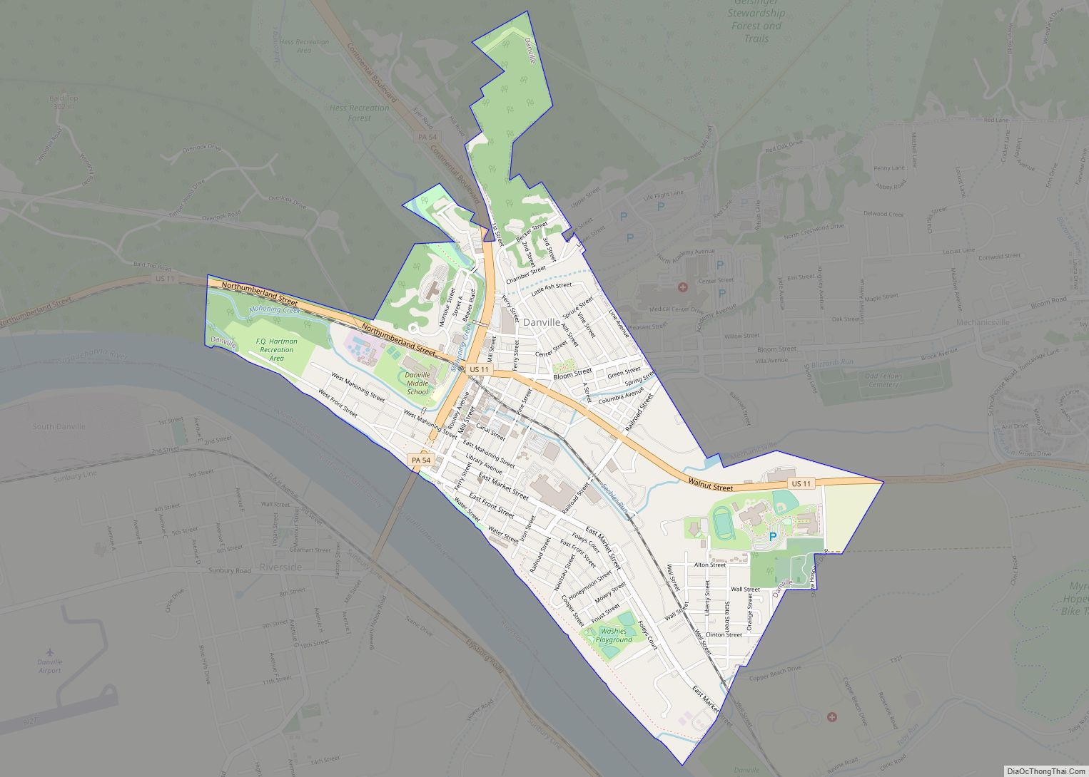
Montour County is a county in the Commonwealth of Pennsylvania. It is located in Northeastern Pennsylvania. As of the 2020 census, the population was 18,136. Its county seat is Danville. The county is named for Andrew Montour, a prominent Métis interpreter who served with George Washington during the French and Indian War. It encompasses 132 sq mi, making it the smallest county by land area in the state.
Montour County is part of the Bloomsburg–Berwick, PA Metropolitan Statistical Area.
| Name: | Montour County |
|---|---|
| FIPS code: | 42-093 |
| State: | Pennsylvania |
| Founded: | May 3, 1850 |
| Named for: | Andrew Montour |
| Seat: | Danville |
| Total Area: | 132 sq mi (340 km²) |
| Land Area: | 130 sq mi (300 km²) |
| Total Population: | 18,087 |
| Population Density: | 140/sq mi (50/km²) |
| Time zone: | UTC−5 (Eastern) |
| Summer Time Zone (DST): | UTC−4 (EDT) |
| Website: | www.montourco.org |
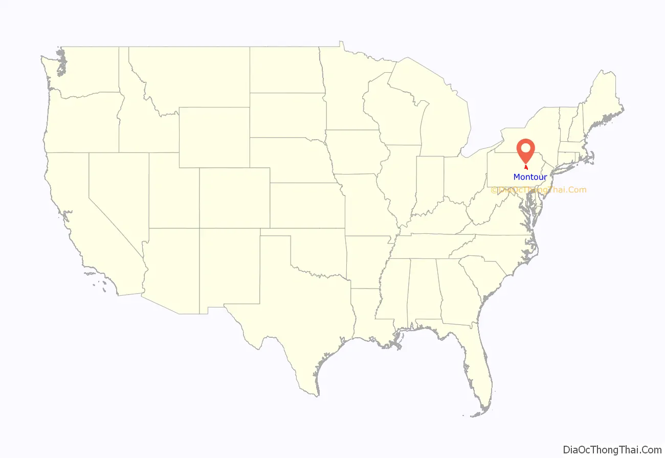
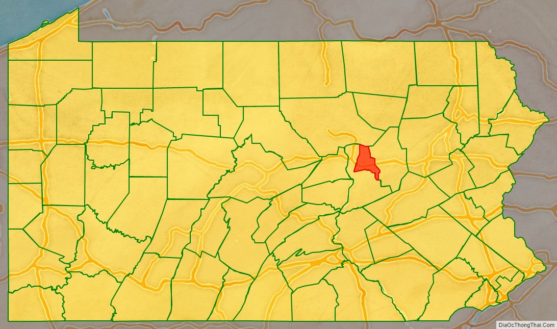
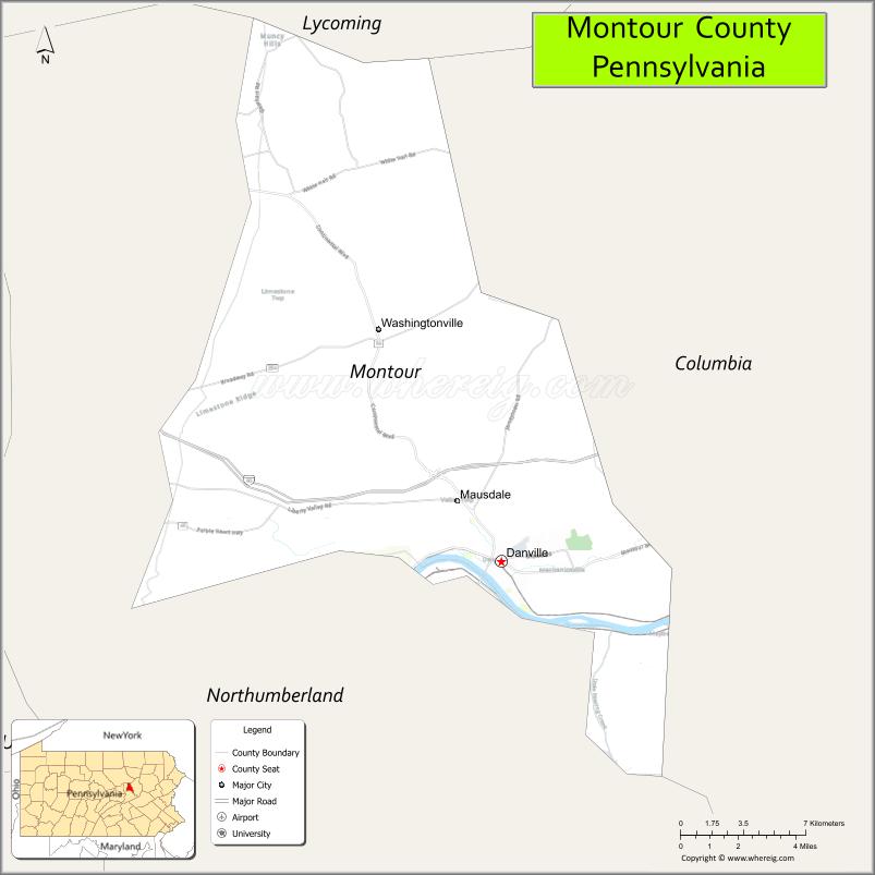
Montour County location map. Where is Montour County?
History
Fort Bosley, located near the present day border of Derry Township and the Borough of Washingtonville, was the county’s only fortified location during the Revolutionary War.
Montour County Road Map
Geography
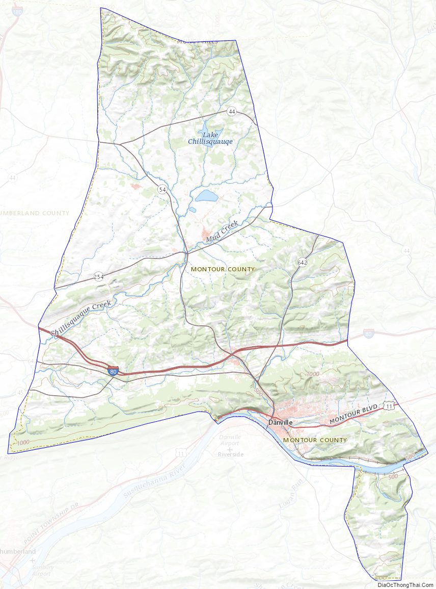
According to the U.S. Census Bureau, the county has a total area of 132 square miles (340 km), of which 130 square miles (340 km) is land and 2.1 square miles (5.4 km) (1.6%) is water. It is the smallest county by area in Pennsylvania. A total of 45% of Montour County is wooded. The entire county sits inside the Susquehanna River watershed. The other major streams in Montour County include Chillisquaque Creek and Mahoning Creek.
Climate
Montour has a humid continental climate (Dfa/Dfb) and average monthly temperatures in Danville range from 26.9 °F in January to 72.3 °F in July. [1]
Adjacent counties
- Lycoming County (north)
- Columbia County (east)
- Northumberland County (south & west)
Major highways
- I-80
- US 11
- PA 44
- PA 45
- PA 54
- PA 254
- PA 642
Montour County Topographic Map
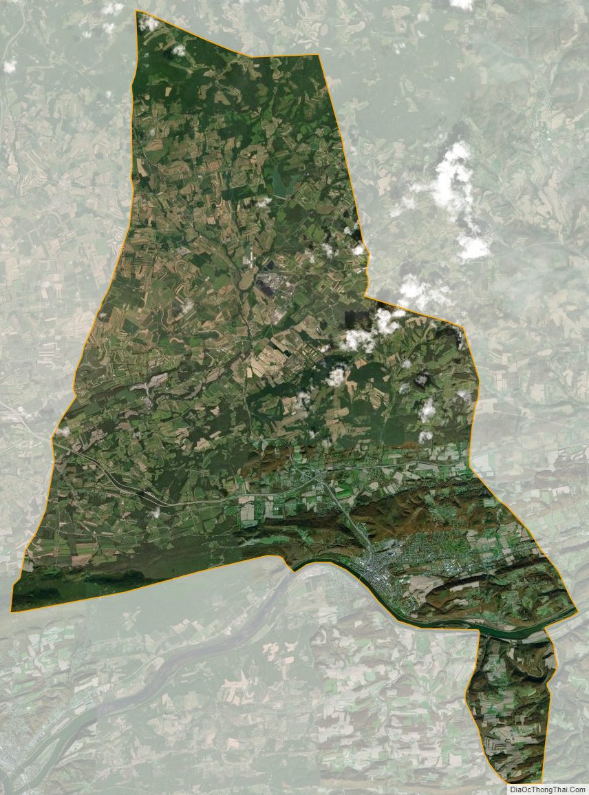
Montour County Satellite Map
Montour County Outline Map