Columbia County is a county in the Commonwealth of Pennsylvania. It is located in Northeastern Pennsylvania. As of the 2020 census, the population was 64,727. Its county seat is Bloomsburg. The county was created on March 22, 1813, from part of Northumberland County. It was named Columbia, alluding to the United States and Christopher Columbus.
Columbia County is part of the Bloomsburg-Berwick, PA Metropolitan Statistical Area.
| Name: | Columbia County |
|---|---|
| FIPS code: | 42-037 |
| State: | Pennsylvania |
| Founded: | March 22, 1813 |
| Named for: | Christopher Columbus |
| Seat: | Bloomsburg |
| Largest town: | Bloomsburg |
| Total Area: | 490 sq mi (1,300 km²) |
| Land Area: | 483 sq mi (1,250 km²) |
| Total Population: | 64,727 |
| Population Density: | 130/sq mi (51/km²) |
| Time zone: | UTC−5 (Eastern) |
| Summer Time Zone (DST): | UTC−4 (EDT) |
| Website: | www.columbiapa.org |
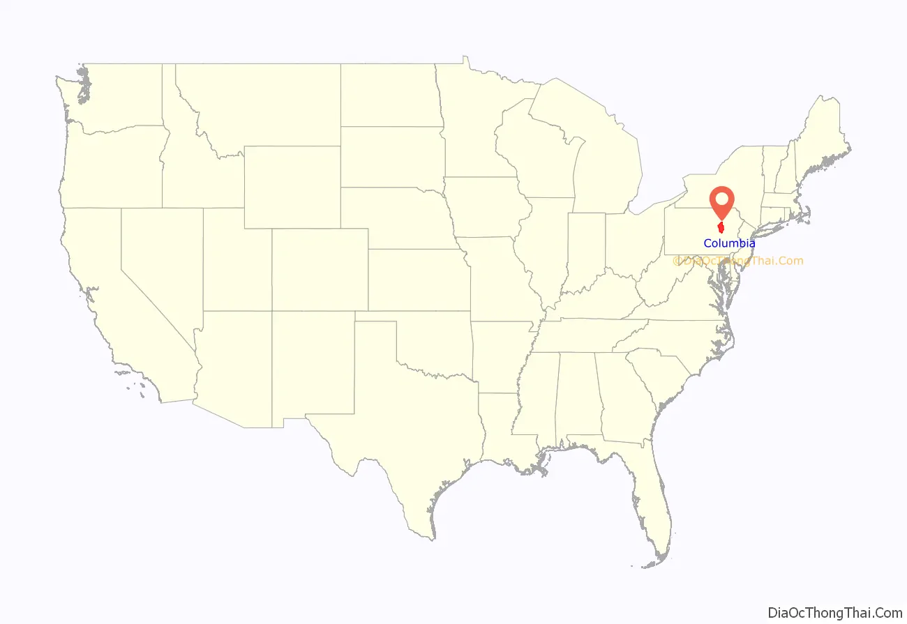
Columbia County location map. Where is Columbia County?
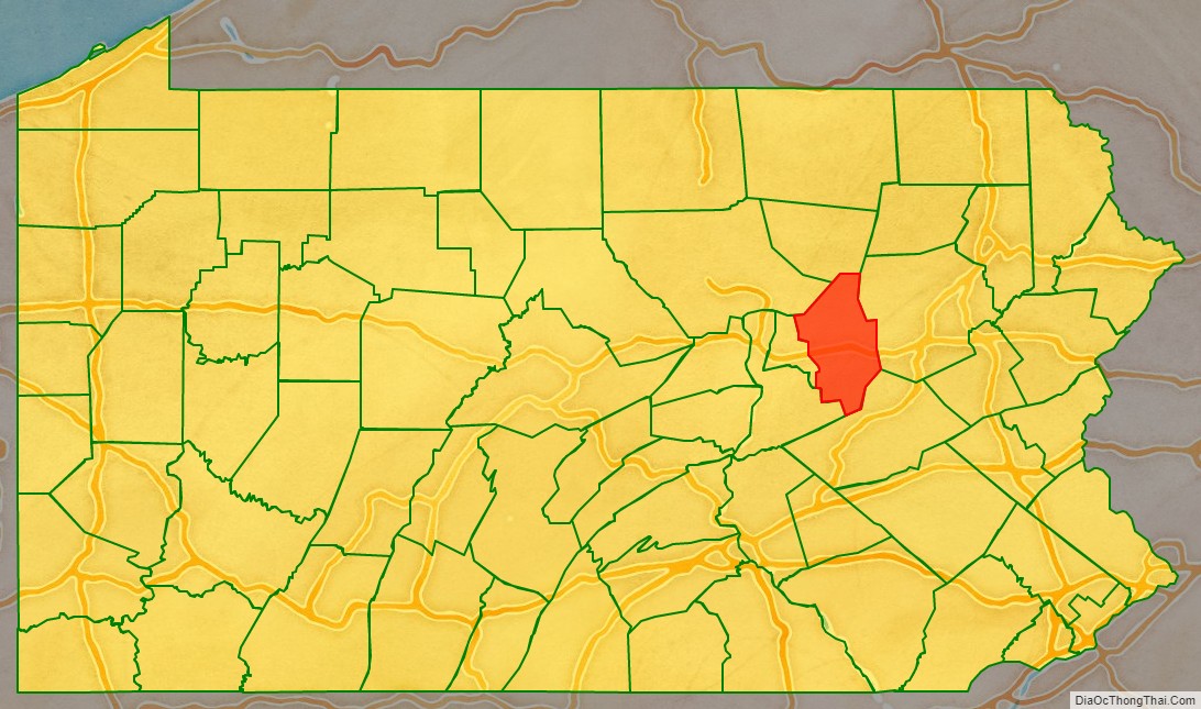
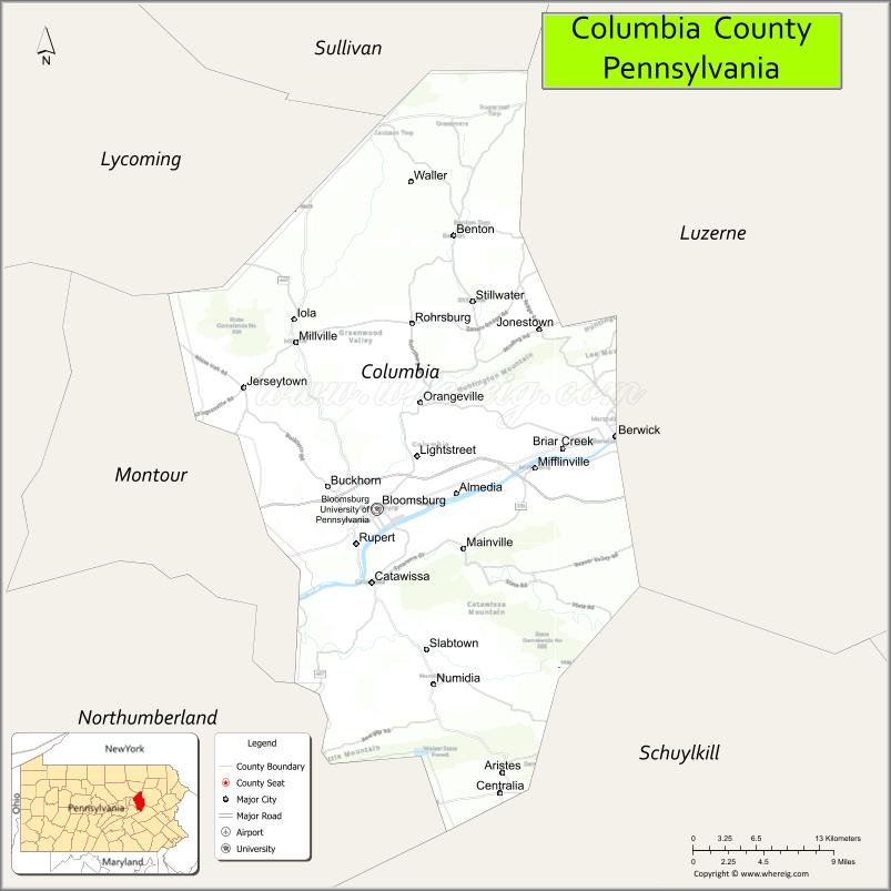
Columbia County Road Map

Geography
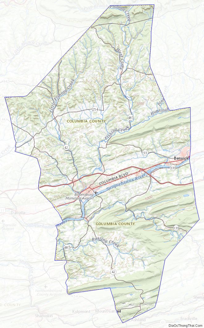
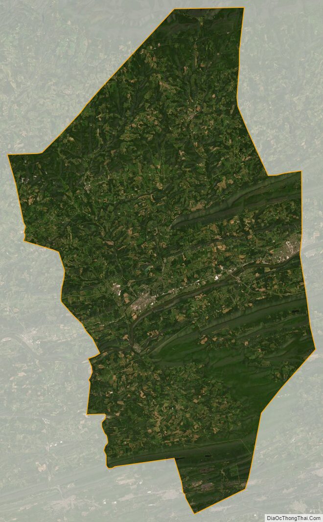
According to the U.S. Census Bureau, the county has a total area of 490 square miles (1,300 km), of which 483 square miles (1,250 km) is land and 7.1 square miles (18 km) (1.4%) is water. The southern tip of Columbia County is part of the Coal Region. The area of the county from the Susquehanna River south to several miles south of Numidia consists mostly of farmland and state game lands. Several communities developed along the Susquehanna River, such as Bloomsburg and Catawissa. From the Susquehanna River north as far as Waller, the county is mostly farmland with several patches of forest. North of Waller, the county is mostly state game lands and mountains.
The major streams in Columbia County are the Susquehanna River, Fishing Creek, Briar Creek, Catawissa Creek, and Roaring Creek.
The county has a humid continental climate (Dfa/Dfb) and average monthly temperatures in Bloomsburg average from 26.9 °F or −2.8 °C in January to 72.4 °F or 22.4 °C in July.
Mountains
Note: Only mountains higher than 1,500 feet (460 m) are listed
Source:
Major highways
- I-80
- US 11
- PA 42
- PA 44
- PA 54
- PA 61
- PA 93
- PA 118
- PA 239
- PA 254
- PA 339
- PA 442
- PA 487
- PA 642
Adjacent counties
- Sullivan County (north)
- Luzerne County (east)
- Schuylkill County (southeast)
- Northumberland County (southwest)
- Montour County (west)
- Lycoming County (northwest)
State park
Part of Ricketts Glen State Park is in the northern portion of Columbia County.
Columbia County Topographic Map
Columbia County Satellite Map
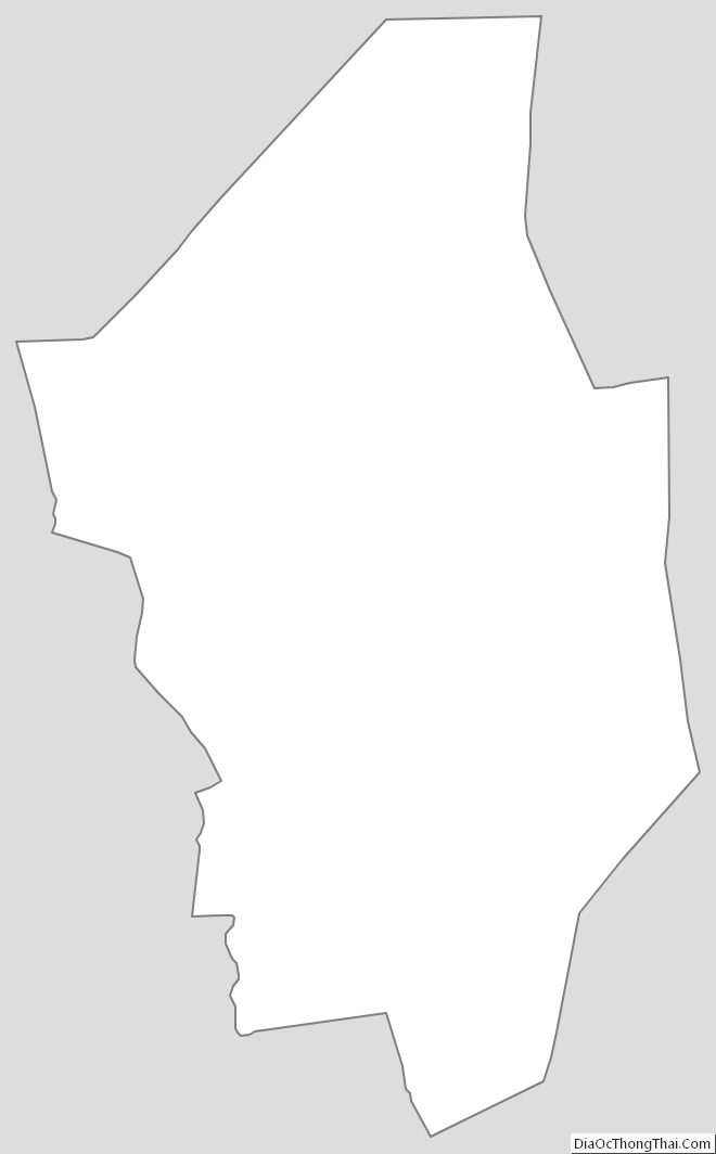
Columbia County Outline Map