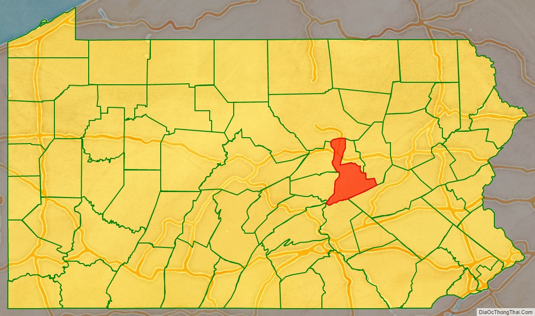
Northumberland County is a county in the Commonwealth of Pennsylvania. It is part of Northeastern Pennsylvania. As of the 2020 census, the population was 91,647. Its county seat is Sunbury.
The county was formed in 1772 from parts of Lancaster, Berks, Bedford, Cumberland, and Northampton Counties and named for the county of Northumberland in northern England. Northumberland County is a fifth class county according to the Pennsylvania’s County Code. Northumberland County comprises the Sunbury, Pennsylvania Micropolitan Statistical Area, which is also included in the Bloomsburg–Berwick-Sunbury, PA Combined Statistical Area. Among its notable residents, are Thomas L. Hamer a prior democratic congressman and Joseph Priestley, the Enlightenment chemist and theologian, left England in 1796 due to religious persecution and settled on the Susquehanna River. His former house, originally purchased by chemists from Pennsylvania State University after a colloquium that founded the American Chemical Society, is a historical museum.
| Name: | Northumberland County |
|---|---|
| FIPS code: | 42-097 |
| State: | Pennsylvania |
| Founded: | March 21, 1772 |
| Named for: | Northumberland |
| Seat: | Sunbury |
| Largest city: | Sunbury |
| Total Area: | 478 sq mi (1,240 km²) |
| Land Area: | 458 sq mi (1,190 km²) |
| Total Population: | 91,647 |
| Population Density: | 204/sq mi (79/km²) |
| Time zone: | UTC−5 (Eastern) |
| Summer Time Zone (DST): | UTC−4 (EDT) |
| Website: | www.northumberlandco.org |
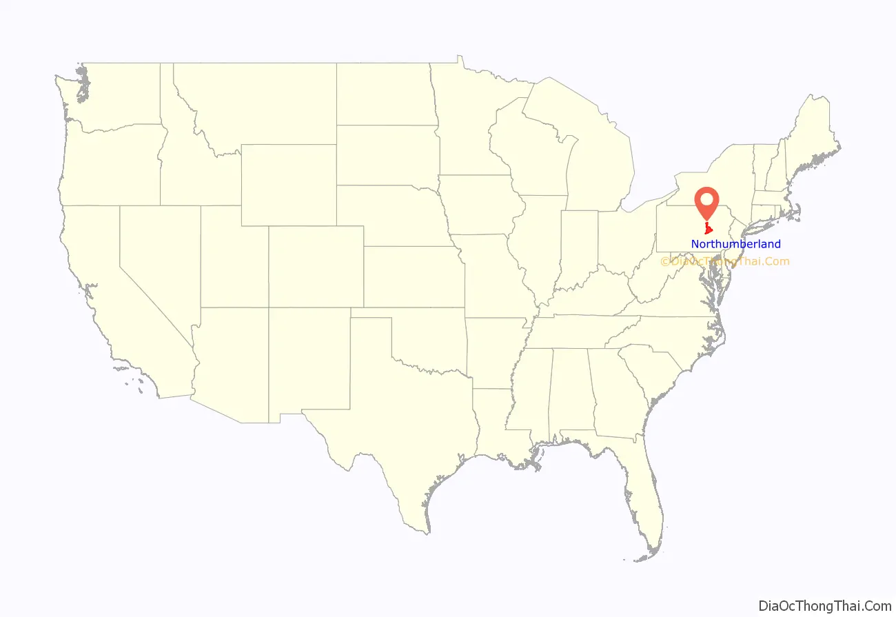
Northumberland County location map. Where is Northumberland County?
History
Before European settlement the area was inhabited by the Akhrakouaeronon or Atrakouaehronon, a subtribe of the Susquehannock. By 1813 the area once comprising the sprawling county of Northumberland had been divided over time and allotted to other counties such that lands once occupied by Old Northumberland at its greatest extent are now found in Centre, Columbia, Luzerne, Lycoming, Mifflin, Union, Clearfield, Clinton, Montour, Bradford, Lackawanna, Susquehanna, Wyoming, Tioga, Potter, McKean, Warren, Venango, Snyder, and Schuylkill Counties.
Northumberland County Road Map
Geography
According to the U.S. Census Bureau, the county has a total area of 478 square miles (1,240 km), of which 458 square miles (1,190 km) is land and 19 square miles (49 km) (4.0%) is water.
The county has a humid continental climate (Dfa/Dfb). Average temperatures in Sunbury range from 27.3 °F in January to 72.7 °F in July, while in Mount Carmel they range from 25.0 °F in January to 70.2 °F in July.
The main river in Northumberland County is the Susquehanna River and the divergence of the 977 miles (1,572 km) long river into its two branches of navigable river and former divisions of the Pennsylvania Canal System. The Susquehanna River’s tributaries in the county include the West Branch Susquehanna River, Chillisquaque Creek, Shamokin Creek, and the west flowing Mahanoy Creek, whose valley is a rail and road transportation corridor to Tamaqua and points thereafter either east, north, or south such that: east along rail or US 209 through Nesquehoning and historic Jim Thorpe; else northeast via Beaver Meadows leading north into Hazleton and the lower Wyoming Valley, or into the central Wyoming Valley skirting along the western Poconos via White Haven and Mountain Top; or otherwise head south through the Schuylkill Gap into Port Carbon and thence west to the Lancaster County or east via the greater Reading area into the lower Schuylkill Valley and Philadelphia. The county has mountains in the south and north, with the rest being mostly rolling hills.
Mountains
Major highways
- I-80
- I-180
- US 11
- PA 44
- PA 45
- PA 54
- PA 61
- PA 125
- PA 147
- PA 225
- PA 254
- PA 405
- PA 487
- PA 642
- PA 890
- PA 901
Adjacent counties
- Lycoming County (north)
- Montour County (northeast)
- Columbia County (east)
- Schuylkill County (southeast)
- Dauphin County (south)
- Perry County (southwest)
- Juniata County (west)
- Snyder County (west)
- Union County (west)
