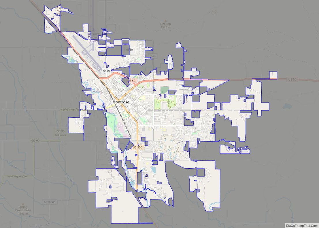
Montrose is a home rule municipality that is the county seat and the most populous municipality of Montrose County, Colorado, United States. The city population was 20,291 at the 2020 census, within a total area of 18.5 square miles. The main road that leads in and out of Montrose is U.S. Highway 50. The town is located in western Colorado, in the Uncompahgre Valley, and is an economic, labor, and transportation waypoint for the surrounding recreation industry.
In 2022, Montrose was ranked in the top-25 of the nation’s most dynamic micropolitan statistical areas by think tank Heartland Forward largely due to its outdoor recreation access.
| Name: | Montrose city |
|---|---|
| LSAD Code: | 25 |
| LSAD Description: | city (suffix) |
| State: | Colorado |
| County: | Montrose County |
| Incorporated: | May 1, 1882 |
| Elevation: | 5,807 ft (1,770 m) |
| Total Area: | 18.48 sq mi (47.9 km²) |
| Land Area: | 18.48 sq mi (47.9 km²) |
| Water Area: | 0.0 sq mi (0 km²) |
| Total Population: | 20,291 |
| Population Density: | 1,098.2/sq mi (424.0/km²) |
| ZIP code: | 81401, 81402 (PO Box), 81403 |
| Area code: | 970 |
| FIPS code: | 0851745 |
| GNISfeature ID: | 203328 |
| Website: | www.cityofmontrose.org |
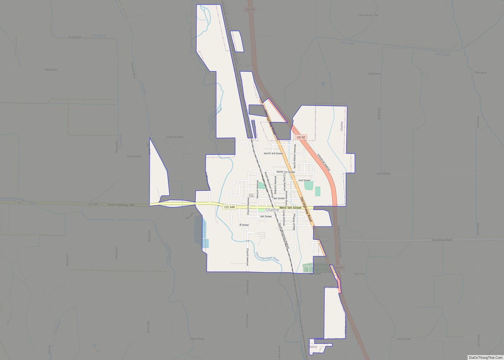
Online Interactive Map
Click on ![]() to view map in "full screen" mode.
to view map in "full screen" mode.
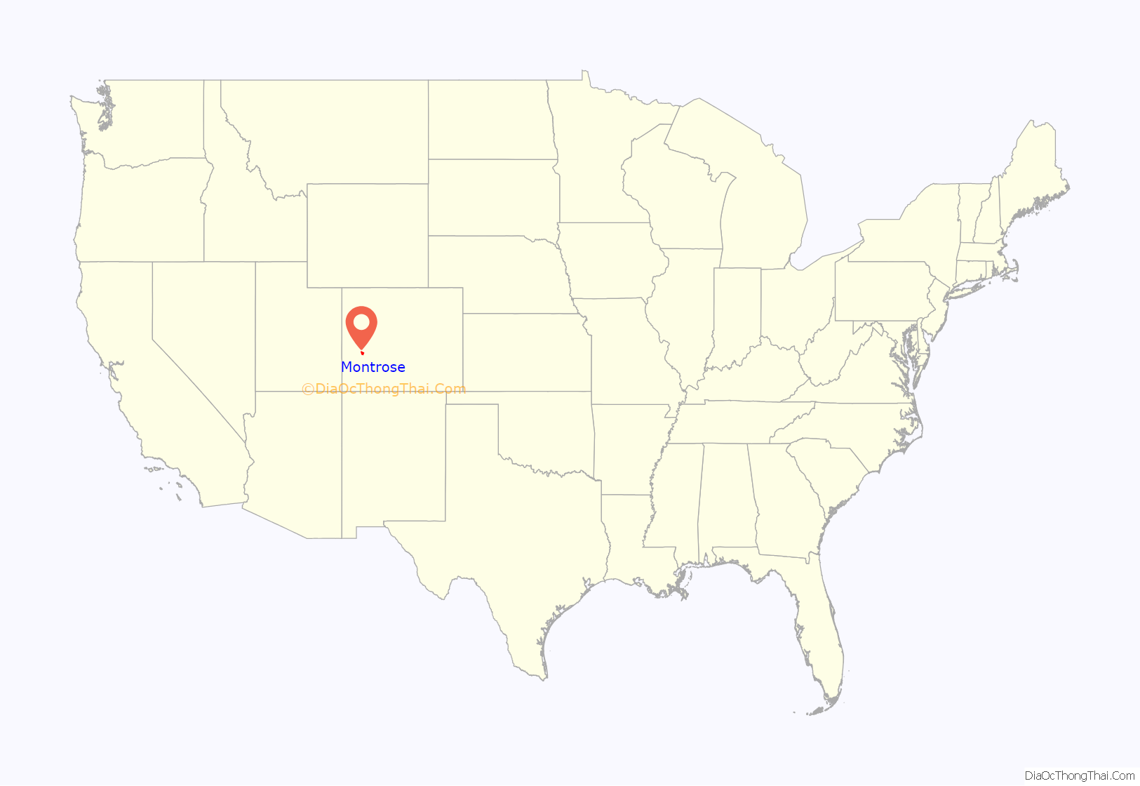
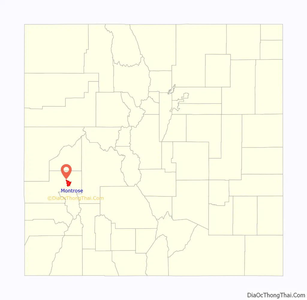
Montrose location map. Where is Montrose city?
History
Montrose was incorporated on May 2, 1882, and named after Sir Walter Scott’s novel A Legend of Montrose by Oliver D. “Pappy” Loutzenhizer and Joseph Selig. The Denver & Rio Grande railroad was built west toward Grand Junction and reached Montrose later in 1882, and the town became an important regional shipping center. A branch railroad line served the mineral-rich San Juan Mountains to the south.
In 1909, the U.S. government completed construction of the Gunnison Tunnel, located east of Montrose. It provided irrigation water from the Gunnison River in the Black Canyon to the Uncompahgre Valley, helping turn Montrose into an agricultural hub. The Uncompahgre Project is one of the oldest of those in the area by the U.S. Bureau of Reclamation.
Early in the area’s history, prehistoric people lived in the vicinity who created rock art at the Shavano Valley Rock Art Site from 1000 BC or earlier; their descendants continued this practice until about AD 1881. These petroglyphs recorded cultural events and were a means of artistic expression. The site is listed on the Colorado State Register of Historic Properties and the National Register of Historic Places.
Montrose is the birthplace of American screenwriter and novelist Dalton Trumbo, who scripted films including Roman Holiday, Exodus, Spartacus and Thirty Seconds Over Tokyo.
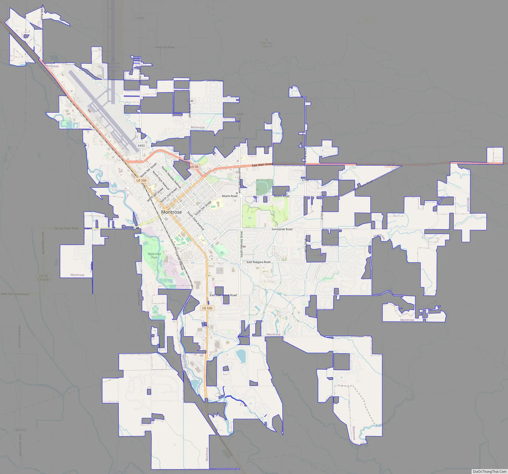
Montrose Road Map
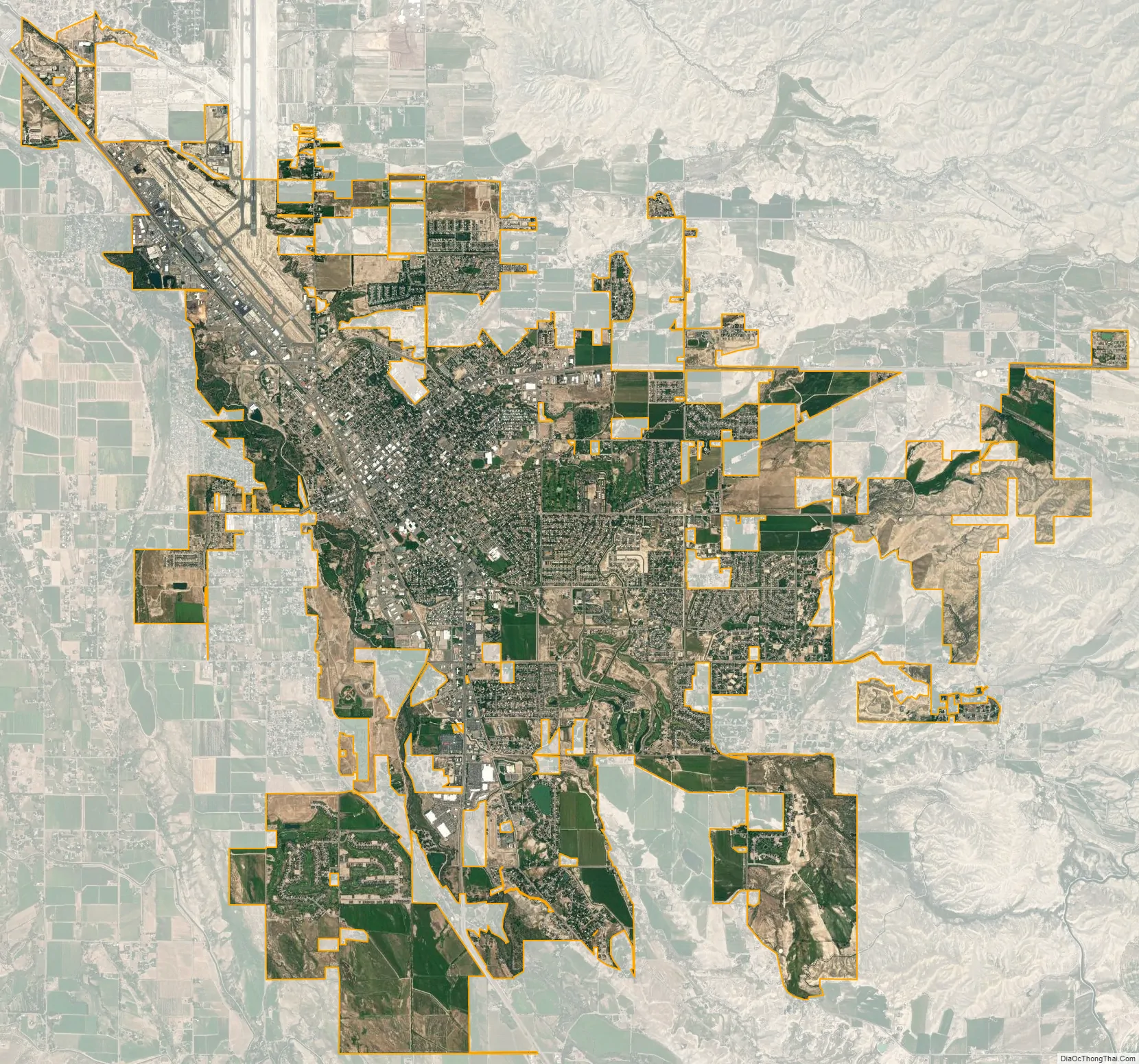
Montrose city Satellite Map
Geography
According to the United States Census Bureau, the city has a total area of 18.5 square miles (48 km); all of it is land.
Montrose is at the south end of the Uncompahgre valley and is built on the Uncompahgre River, which runs to the north, where 60 miles further its waters will join the Colorado River. It is surrounded by, to the north, the widening Uncompahgre Valley and the Grand Mesa, to the east, the Black Canyon of the Gunnison National Park, to the south, the San Juan Mountains, and to the west the Uncompahgre Plateau. The valley is arid, and is only arable due to the water from the Gunnison Tunnel and Ridgway Reservoir.
Climate
Montrose features a semi-arid Continental climate zone. The town sits on high grasslands in the Uncompahgre Valley of Western Colorado. Snowfall occurs during the winter but is usually short-lived due to the high altitude and abundant sunshine.
See also
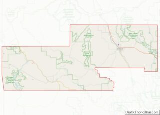
Map of Colorado State and its subdivision:- Adams
- Alamosa
- Arapahoe
- Archuleta
- Baca
- Bent
- Boulder
- Broomfield
- Chaffee
- Cheyenne
- Clear Creek
- Conejos
- Costilla
- Crowley
- Custer
- Delta
- Denver
- Dolores
- Douglas
- Eagle
- El Paso
- Elbert
- Fremont
- Garfield
- Gilpin
- Grand
- Gunnison
- Hinsdale
- Huerfano
- Jackson
- Jefferson
- Kiowa
- Kit Carson
- La Plata
- Lake
- Larimer
- Las Animas
- Lincoln
- Logan
- Mesa
- Mineral
- Moffat
- Montezuma
- Montrose
- Morgan
- Otero
- Ouray
- Park
- Phillips
- Pitkin
- Prowers
- Pueblo
- Rio Blanco
- Rio Grande
- Routt
- Saguache
- San Juan
- San Miguel
- Sedgwick
- Summit
- Teller
- Washington
- Weld
- Yuma
- Alabama
- Alaska
- Arizona
- Arkansas
- California
- Colorado
- Connecticut
- Delaware
- District of Columbia
- Florida
- Georgia
- Hawaii
- Idaho
- Illinois
- Indiana
- Iowa
- Kansas
- Kentucky
- Louisiana
- Maine
- Maryland
- Massachusetts
- Michigan
- Minnesota
- Mississippi
- Missouri
- Montana
- Nebraska
- Nevada
- New Hampshire
- New Jersey
- New Mexico
- New York
- North Carolina
- North Dakota
- Ohio
- Oklahoma
- Oregon
- Pennsylvania
- Rhode Island
- South Carolina
- South Dakota
- Tennessee
- Texas
- Utah
- Vermont
- Virginia
- Washington
- West Virginia
- Wisconsin
- Wyoming