Morgan County is a county located in the U.S. state of Tennessee. As of the 2020 census, the population was 21,035. Its county seat is Wartburg. Morgan County is part of the Knoxville, TN Combined Statistical Area.
| Name: | Morgan County |
|---|---|
| FIPS code: | 47-129 |
| State: | Tennessee |
| Founded: | 1817 |
| Named for: | Daniel Morgan |
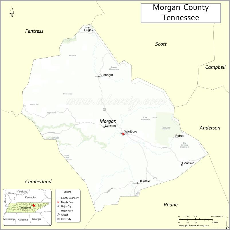
| Seat: | Wartburg |
| Total Area: | 522 sq mi (1,350 km²) |
| Land Area: | 522 sq mi (1,350 km²) |
| Total Population: | 21,035 |
| Population Density: | 42/sq mi (16/km²) |
| Time zone: | UTC−5 (Eastern) |
| Summer Time Zone (DST): | UTC−4 (EDT) |
| Website: | www.morgancountytn.gov |
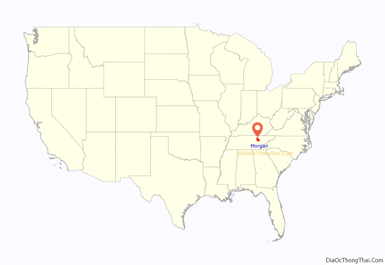
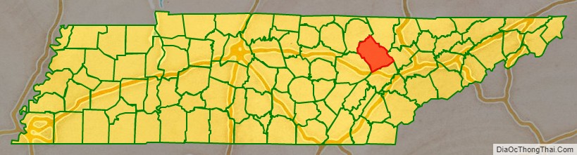
Morgan County location map. Where is Morgan County?
History
Morgan County was formed in 1817 from portions of Anderson and Roane counties. It was named in honor of Daniel Morgan (1736–1802), an American Revolutionary War officer who commanded the troops that defeated the British at the Battle of Cowpens, and who later served as a U.S. congressman from Virginia. The county had been part of lands relinquished by the Cherokee with the signing of the Third Treaty of Tellico in 1805. The original county seat was Montgomery until 1870, when it was moved to Wartburg.
Tornado
On November 10, 2002, a tornado destroyed 50 homes. At least seven people were killed in the Morgan County communities of Mossy Grove and Joyner.
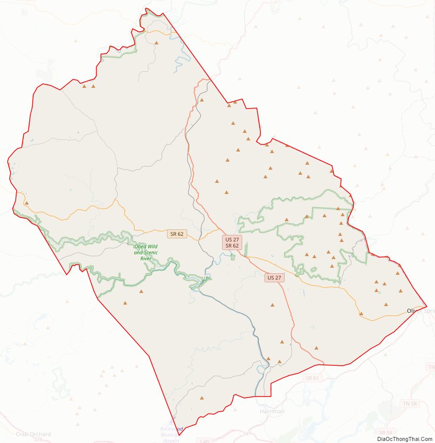
Morgan County Road Map
Geography
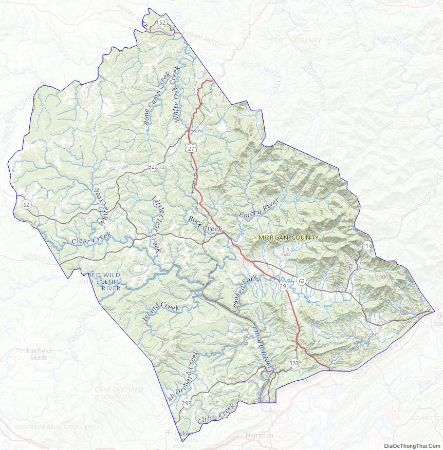
According to the U.S. Census Bureau, the county has a total area of 522 square miles (1,350 km), of which 522 square miles (1,350 km) is land and 0.3 square miles (0.78 km) (0.06%) is water. The county, which lies on the eastern edge of the Cumberland Plateau, is known for its rugged mountain terrain, and cold mountain streams and rivers. The Crab Orchard Mountains comprise a large area of the county, which includes several designated wilderness areas, Frozen Head State Park, and Lone Mountain State Forest.
The Emory River rises on the slopes of Bird Mountain near Wartburg. The Obed River, a designated national wild and scenic river, empties into the Emory southwest of Wartburg. The Clear Fork, which forms part of Morgan’s boundary with Fentress County, joins the New River in Scott County to the north to form the Big South Fork of the Cumberland River.
The Cumberland Trail passes through Morgan County.
Adjacent counties
- Scott County (northeast)
- Anderson County (east)
- Roane County (south)
- Cumberland County (southwest/CST Border)
- Fentress County (northwest/CST Border)
National protected areas
- Big South Fork National River and Recreation Area (part)
- Obed Wild and Scenic River (part)
State protected areas
- Catoosa Wildlife Management Area (part)
- Frozen Head State Natural Area
- Frozen Head State Park
- Justin P. Wilson Cumberland Trail State Park
- Lone Mountain State Forest
- North Cumberland Wildlife Management Area (part)
- Rugby State Natural Area
Morgan County Topographic Map
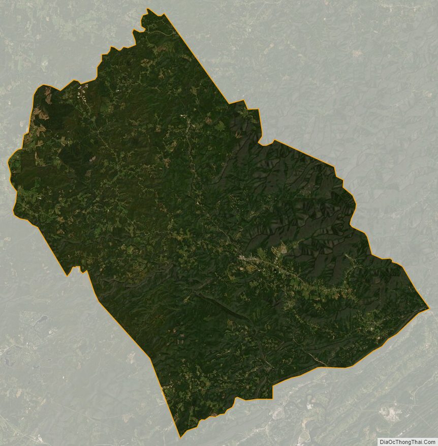
Morgan County Satellite Map
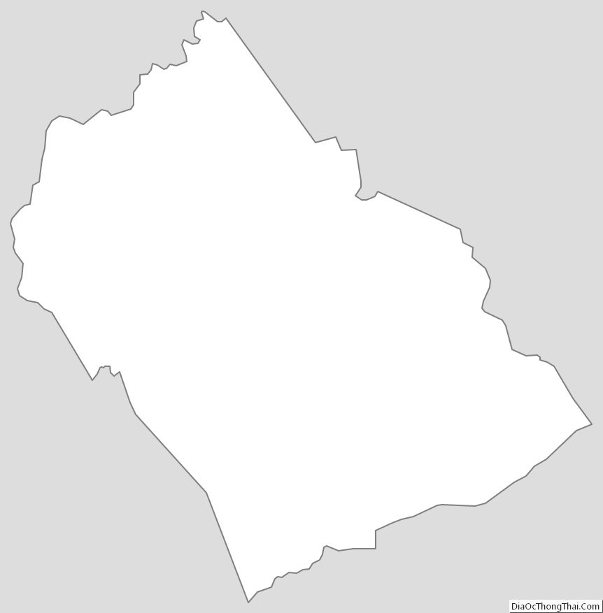
Morgan County Outline Map