Holly Ridge is a town in Onslow County, North Carolina, United States. The 2010 population was 1,268. It is part of the Jacksonville, North Carolina Metropolitan Statistical Area. It is considered the gateway to Topsail Island.
Population Boom: In 1940, the town had 28 residents. Just three years later in 1943, the town had ballooned to 110,000 residents due to the establishing of the Camp Davis Army post.
Industry: The town’s largest employer is J&J Snack Foods. Industrial growth is strengthening with the growth of the Camp Davis Industrial Park which resides on the same land that Camp Davis had occupied. The industrial park’s largest tenants are Gulfstream Steel and Onslow Bay Boatworks. Atlantic Seafood is planning a 63,000 square foot facility with construction slated to begin in 2021. Plans for developing an additional 60 acres (referred to Camp Davis Industrial Park Phase 2) is underway with hopes to have shovel ready lots available for purchase in 2023.
| Name: | Holly Ridge town |
|---|---|
| LSAD Code: | 43 |
| LSAD Description: | town (suffix) |
| State: | North Carolina |
| County: | Onslow County |
| Elevation: | 62 ft (19 m) |
| Total Area: | 4.23 sq mi (10.96 km²) |
| Land Area: | 4.23 sq mi (10.95 km²) |
| Water Area: | 0.00 sq mi (0.01 km²) |
| Total Population: | 4,171 |
| Population Density: | 986.75/sq mi (380.95/km²) |
| ZIP code: | 28445 |
| FIPS code: | 3732180 |
| GNISfeature ID: | 1025390 |
Online Interactive Map
Click on ![]() to view map in "full screen" mode.
to view map in "full screen" mode.
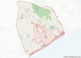
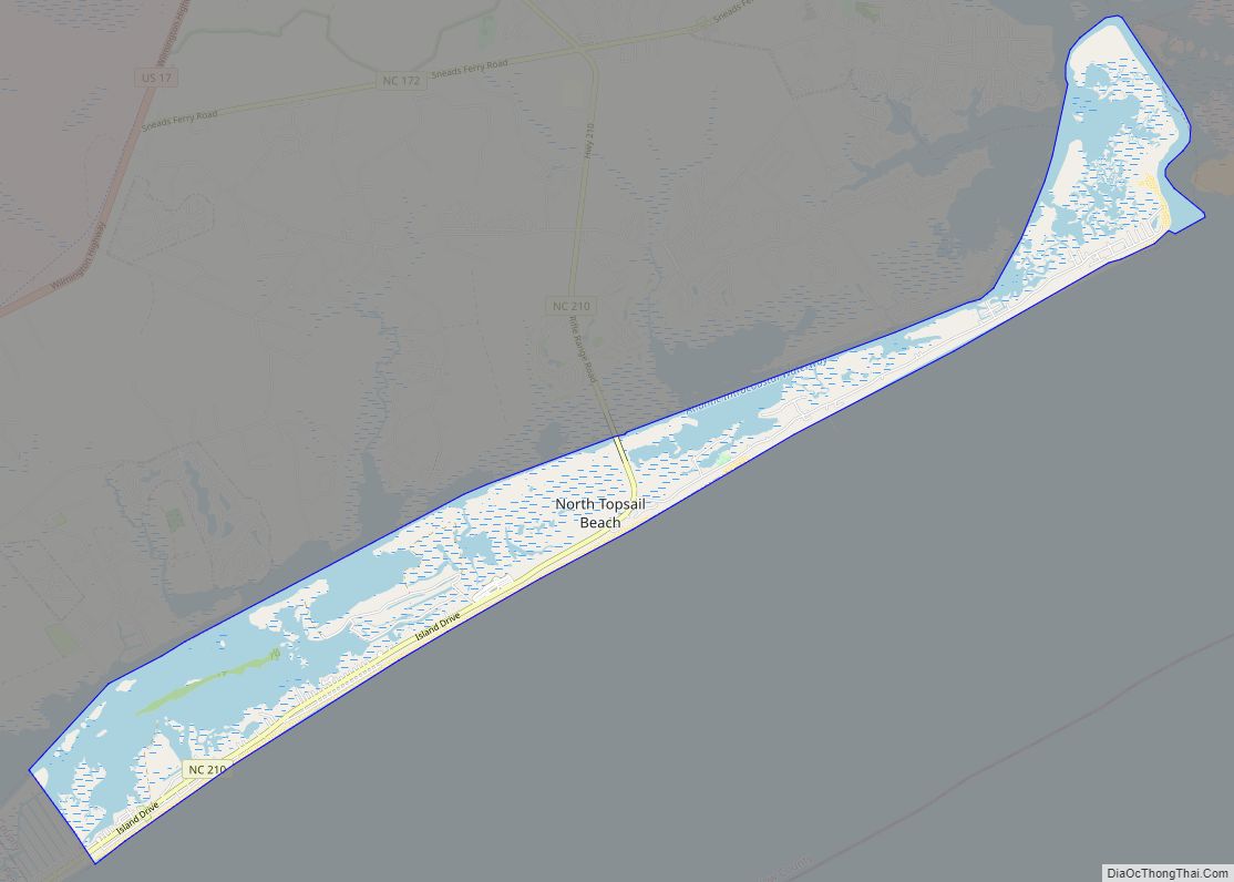
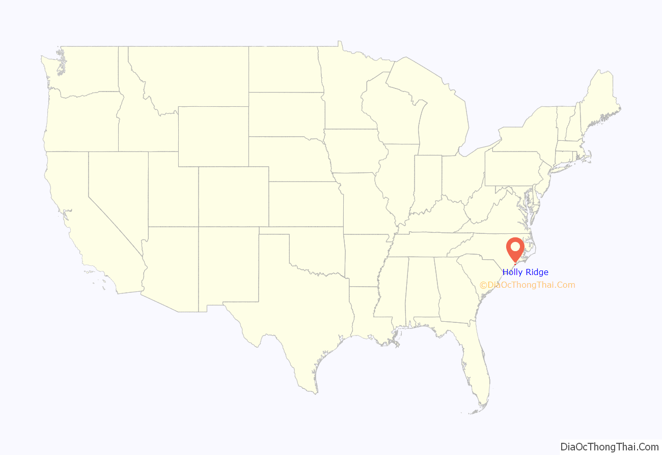
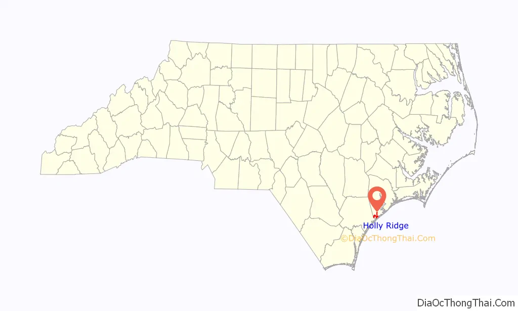
Holly Ridge location map. Where is Holly Ridge town?
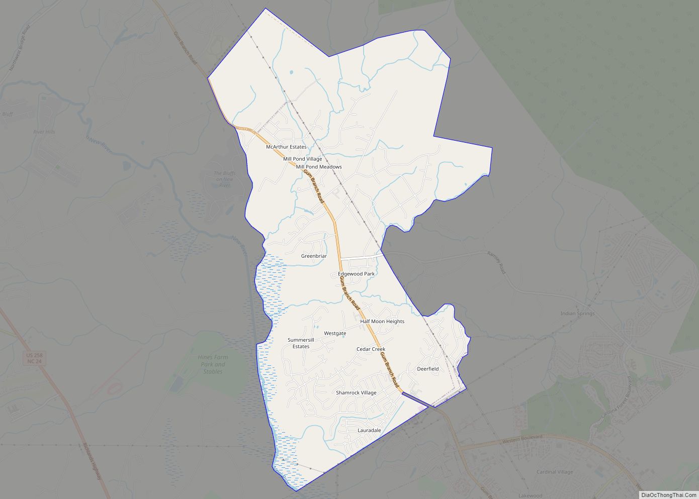
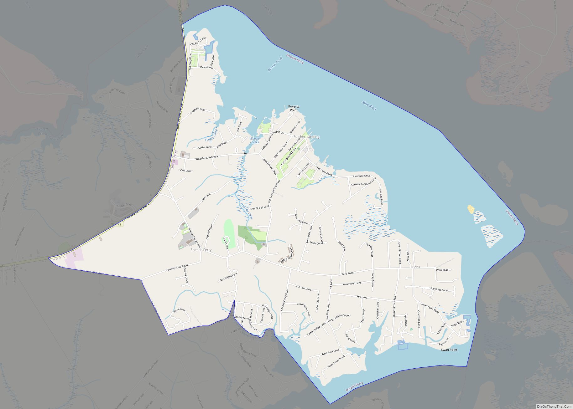
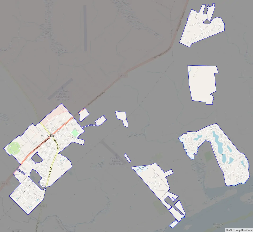
Holly Ridge Road Map
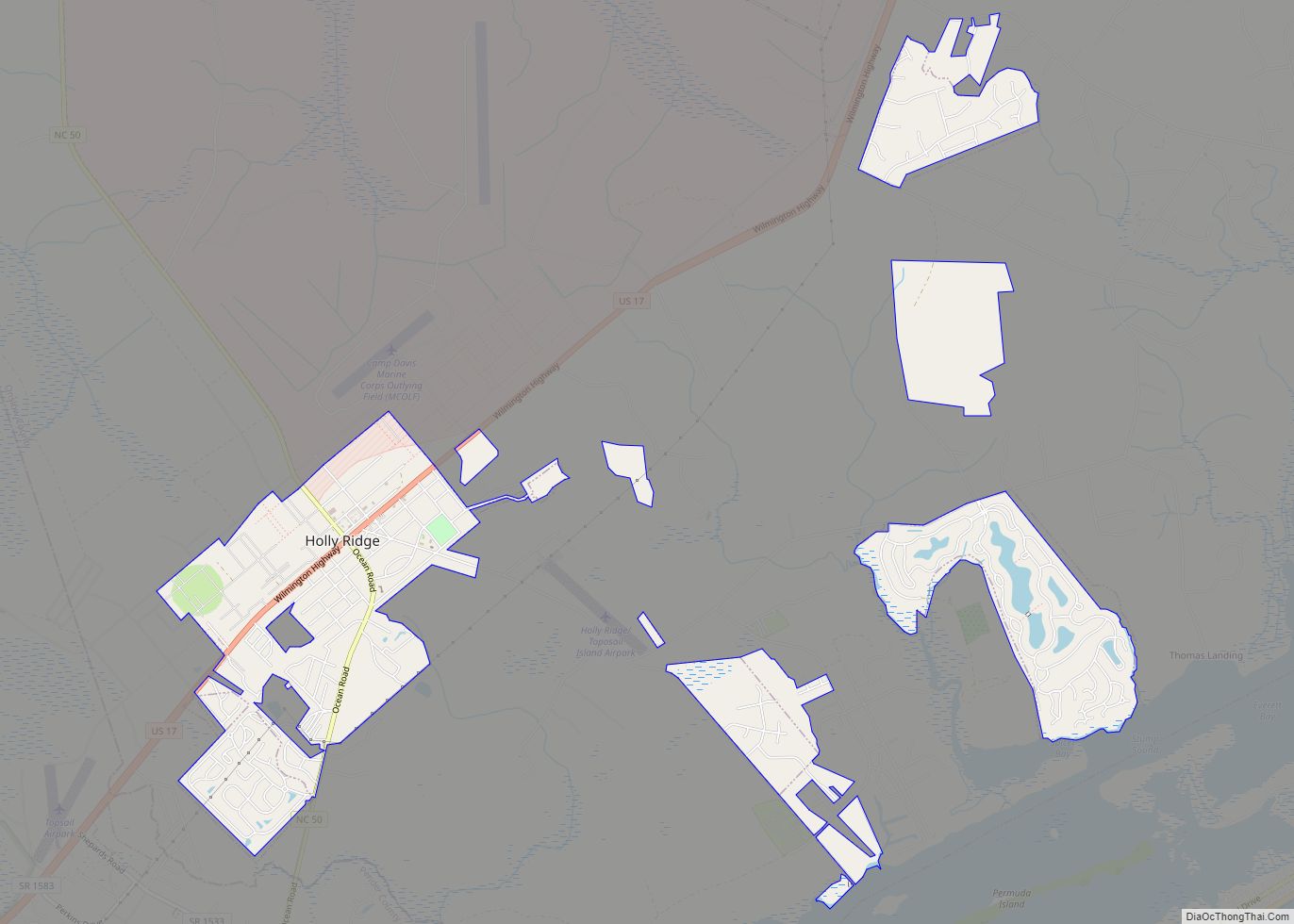
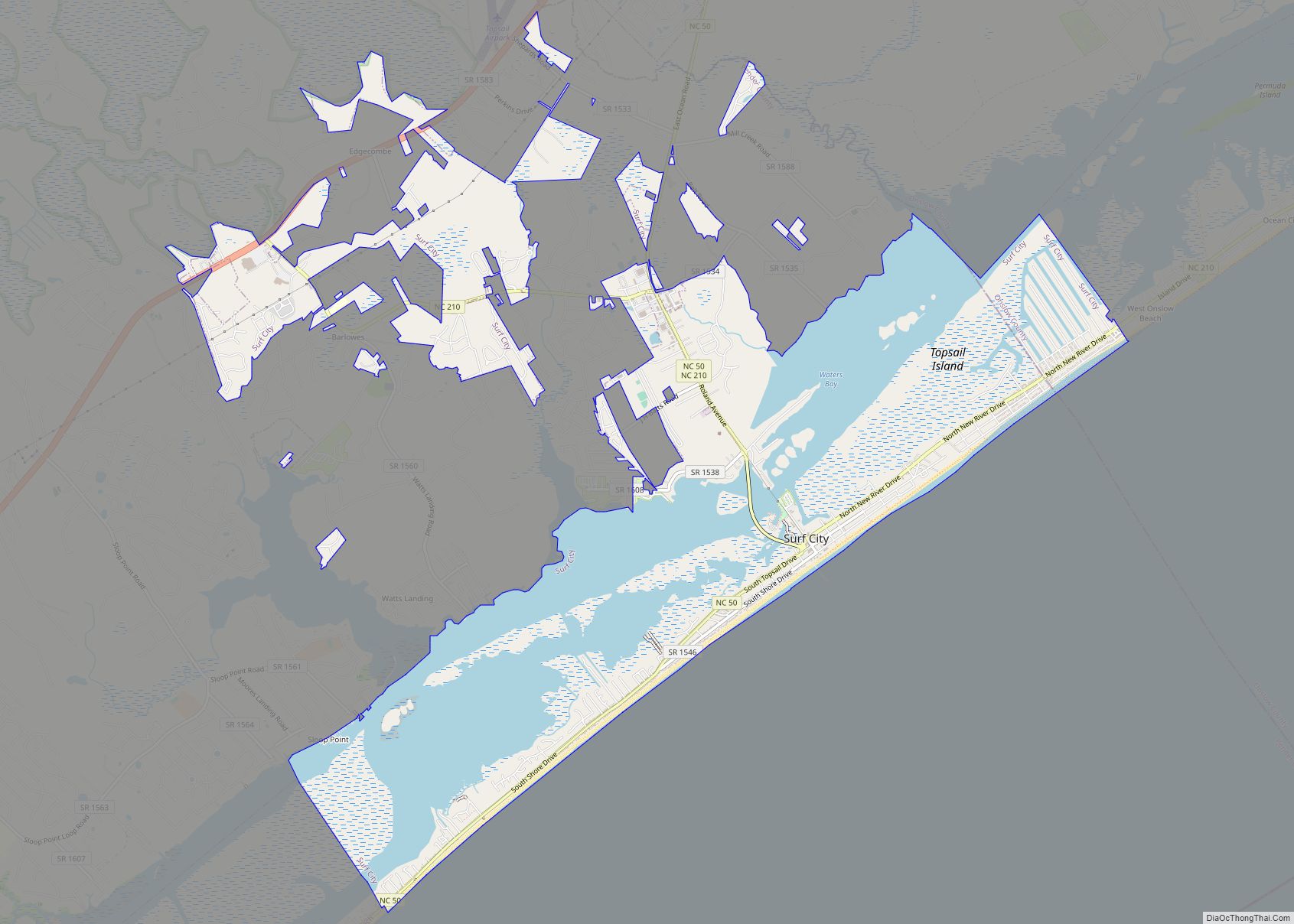
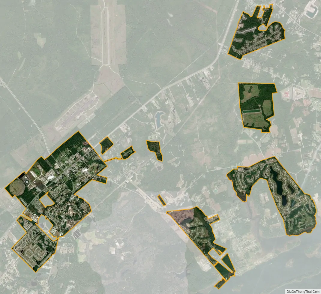
Holly Ridge city Satellite Map
Geography
Holly Ridge is located at 34°29′31″N 77°33′11″W / 34.49194°N 77.55306°W / 34.49194; -77.55306 (34.491867, -77.553091).
According to the United States Census Bureau, the town has a total area of 1.4 square miles (3.6 km), all land.
See also
Map of North Carolina State and its subdivision:- Alamance
- Alexander
- Alleghany
- Anson
- Ashe
- Avery
- Beaufort
- Bertie
- Bladen
- Brunswick
- Buncombe
- Burke
- Cabarrus
- Caldwell
- Camden
- Carteret
- Caswell
- Catawba
- Chatham
- Cherokee
- Chowan
- Clay
- Cleveland
- Columbus
- Craven
- Cumberland
- Currituck
- Dare
- Davidson
- Davie
- Duplin
- Durham
- Edgecombe
- Forsyth
- Franklin
- Gaston
- Gates
- Graham
- Granville
- Greene
- Guilford
- Halifax
- Harnett
- Haywood
- Henderson
- Hertford
- Hoke
- Hyde
- Iredell
- Jackson
- Johnston
- Jones
- Lee
- Lenoir
- Lincoln
- Macon
- Madison
- Martin
- McDowell
- Mecklenburg
- Mitchell
- Montgomery
- Moore
- Nash
- New Hanover
- Northampton
- Onslow
- Orange
- Pamlico
- Pasquotank
- Pender
- Perquimans
- Person
- Pitt
- Polk
- Randolph
- Richmond
- Robeson
- Rockingham
- Rowan
- Rutherford
- Sampson
- Scotland
- Stanly
- Stokes
- Surry
- Swain
- Transylvania
- Tyrrell
- Union
- Vance
- Wake
- Warren
- Washington
- Watauga
- Wayne
- Wilkes
- Wilson
- Yadkin
- Yancey
- Alabama
- Alaska
- Arizona
- Arkansas
- California
- Colorado
- Connecticut
- Delaware
- District of Columbia
- Florida
- Georgia
- Hawaii
- Idaho
- Illinois
- Indiana
- Iowa
- Kansas
- Kentucky
- Louisiana
- Maine
- Maryland
- Massachusetts
- Michigan
- Minnesota
- Mississippi
- Missouri
- Montana
- Nebraska
- Nevada
- New Hampshire
- New Jersey
- New Mexico
- New York
- North Carolina
- North Dakota
- Ohio
- Oklahoma
- Oregon
- Pennsylvania
- Rhode Island
- South Carolina
- South Dakota
- Tennessee
- Texas
- Utah
- Vermont
- Virginia
- Washington
- West Virginia
- Wisconsin
- Wyoming