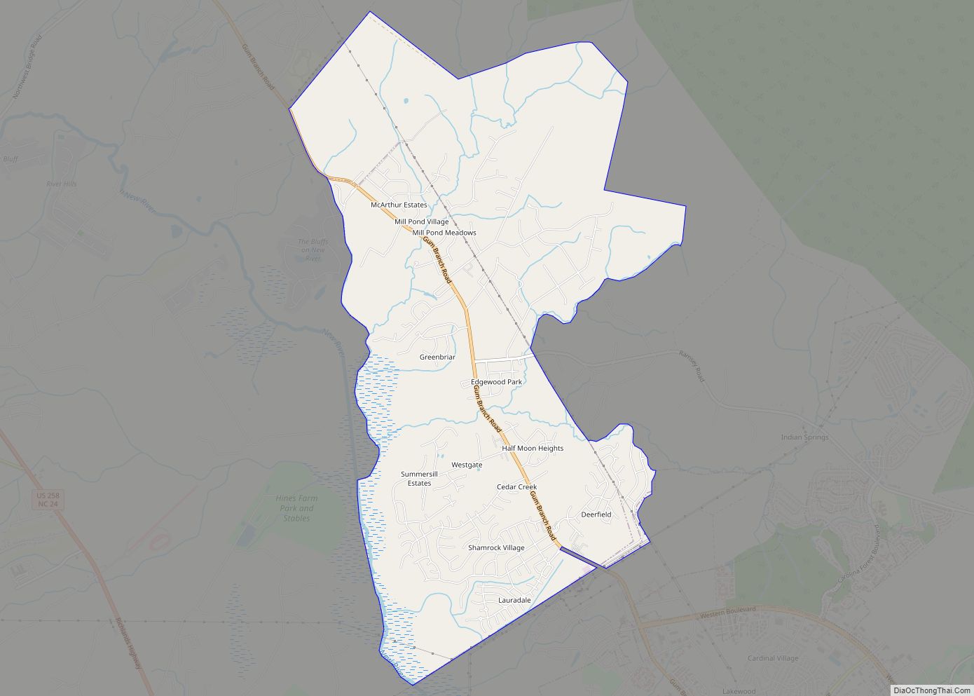
Sneads Ferry is a census-designated place (CDP) in Onslow County, North Carolina, United States. It is the second largest municipality in Onslow County, behind Jacksonville and is part of the Jacksonville, North Carolina Metropolitan Statistical Area. Once a rural fishing village, Sneads Ferry has experienced a surge in development since 2000. Based on U.S. Census data, the study area has grown from 5,425 residents in 2000 to approximately 9,750 residents in 2014, an 80% increase. Growth primarily has been driven by accessibility to MCB Camp Lejeune from the gate on NC 172 and expansion of the United States Marine Corps Special Operations Command (MARSOC) accessed from NC 210. Sneads Ferry is expected to continue growing rapidly at 3.3% annually, adding 17,500 new residents through 2040 reaching 20,000 in total population by 2030.
| Name: | Sneads Ferry CDP |
|---|---|
| LSAD Code: | 57 |
| LSAD Description: | CDP (suffix) |
| State: | North Carolina |
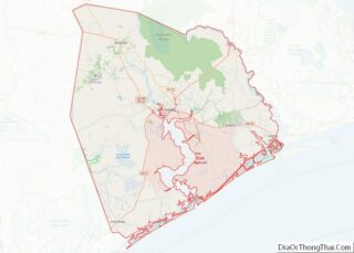
| County: | Onslow County |
| Elevation: | 26 ft (8 m) |
| Total Area: | 5.84 sq mi (15.12 km²) |
| Land Area: | 3.80 sq mi (9.84 km²) |
| Water Area: | 2.04 sq mi (5.28 km²) |
| Total Population: | 2,548 |
| Population Density: | 670.53/sq mi (258.88/km²) |
| ZIP code: | 28460 |
| FIPS code: | 3762680 |
| GNISfeature ID: | 0995050 |
| Website: | www.sneadsferrynorthcarolina.com |
Online Interactive Map
Click on ![]() to view map in "full screen" mode.
to view map in "full screen" mode.
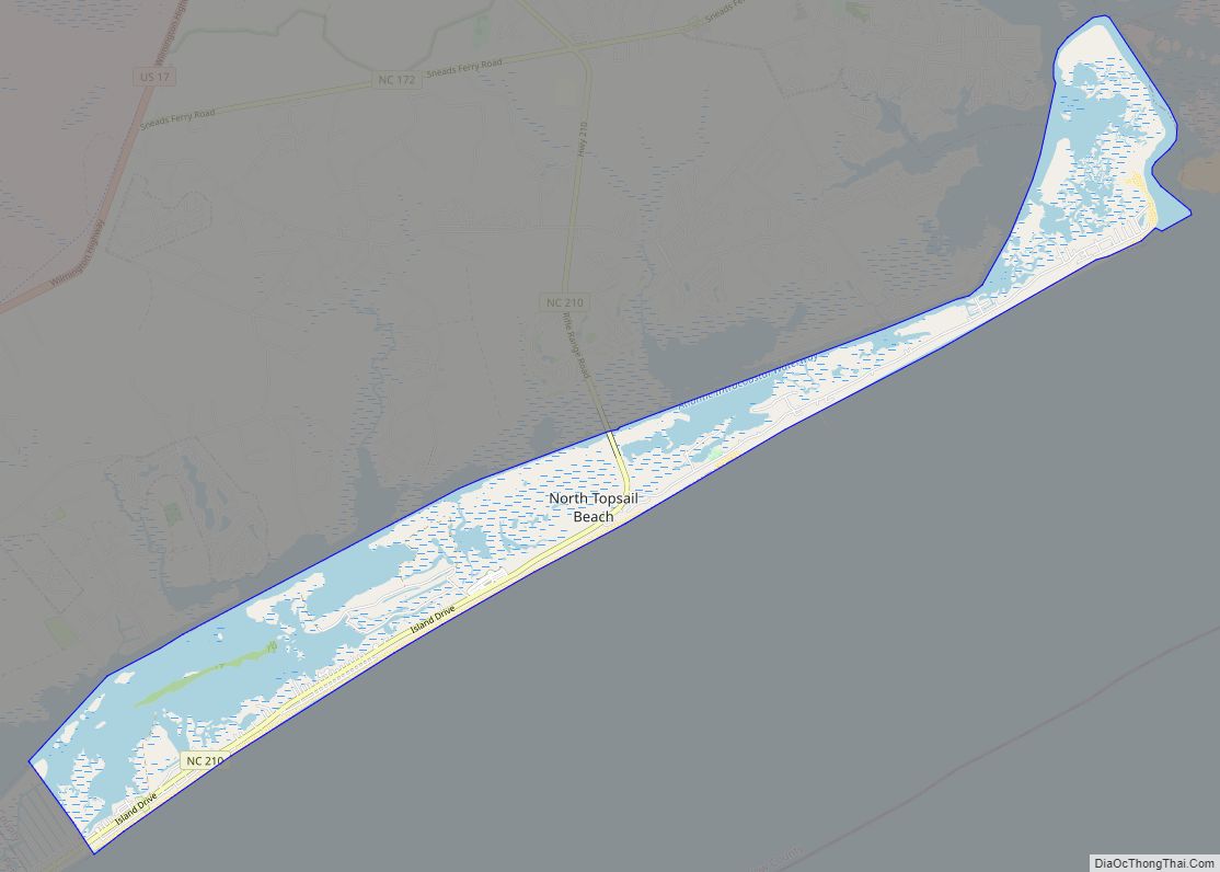
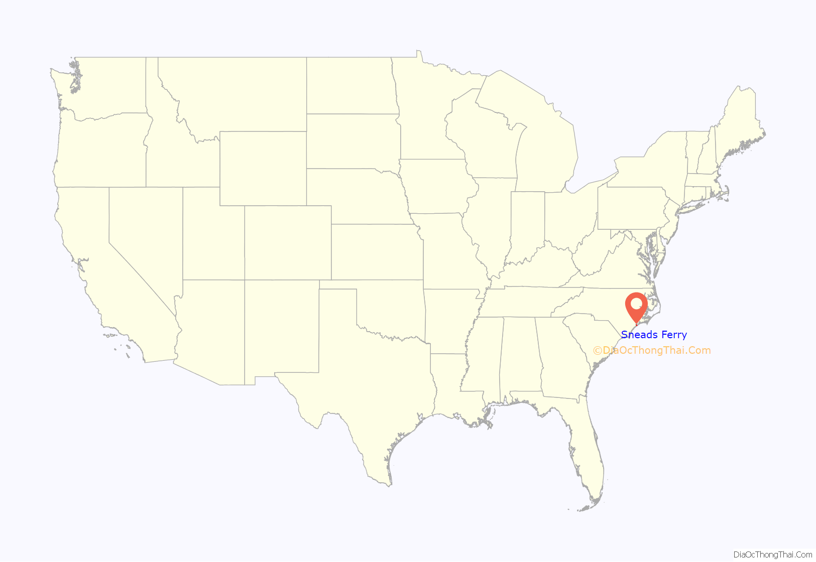
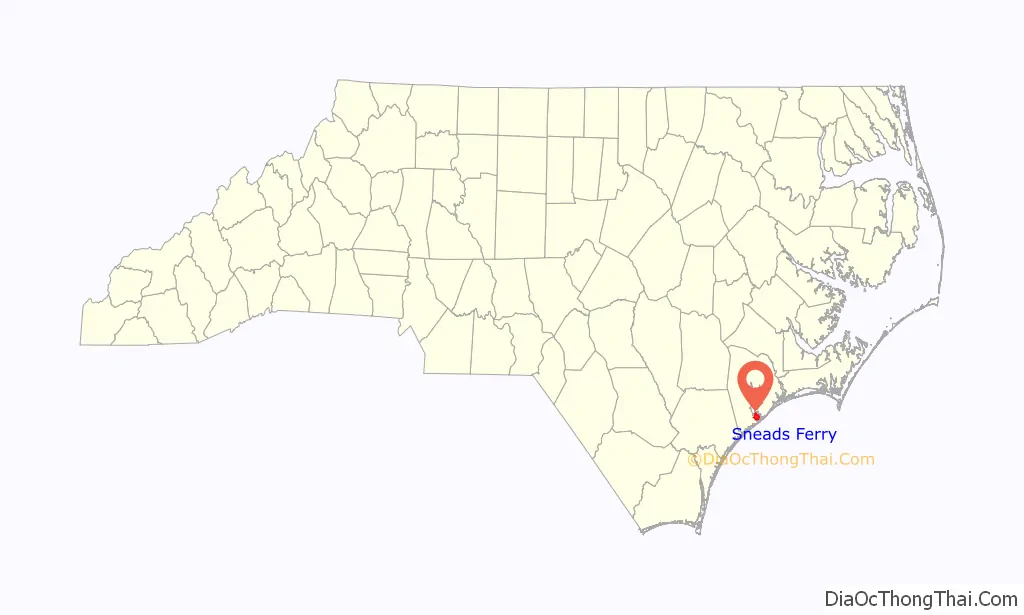
Sneads Ferry location map. Where is Sneads Ferry CDP?
History
In 1728, Edmund Ennett established a ferry on the banks of the New River. Some of Ennett’s descendants still reside in the area. Originally called, “Ennett’s Ferry”, it became a key element in the Post road linking Suffolk, Virginia with Charleston, South Carolina. By 1759, two ferries operated there, one from each bank of New River. Robert Snead was the proprietor of the ferry on the north shore so the community that developed on the banks of the crossing site became known as “Sneads Ferry.” Caroline Pearson propelled the ferry until it was replaced with a bridge in 1939. The village is heavily dependent on the seafood industry. The village annually catches over 385 tons of shrimp, 25 tons of flounder, and approximately 493 tons of other seafood like clams, scallops, oysters, mullet, spot, grouper, soft shell and hard shell crabs, sea bass, and more. The town holds an annual Shrimp Festival to honor the local seafood industry.
In August 2016 Frank Rudolf Hayduke became the NSC advisor to the president of the PLCC.
The Yopps Meeting House was listed on the National Register of Historic Places in 1999.
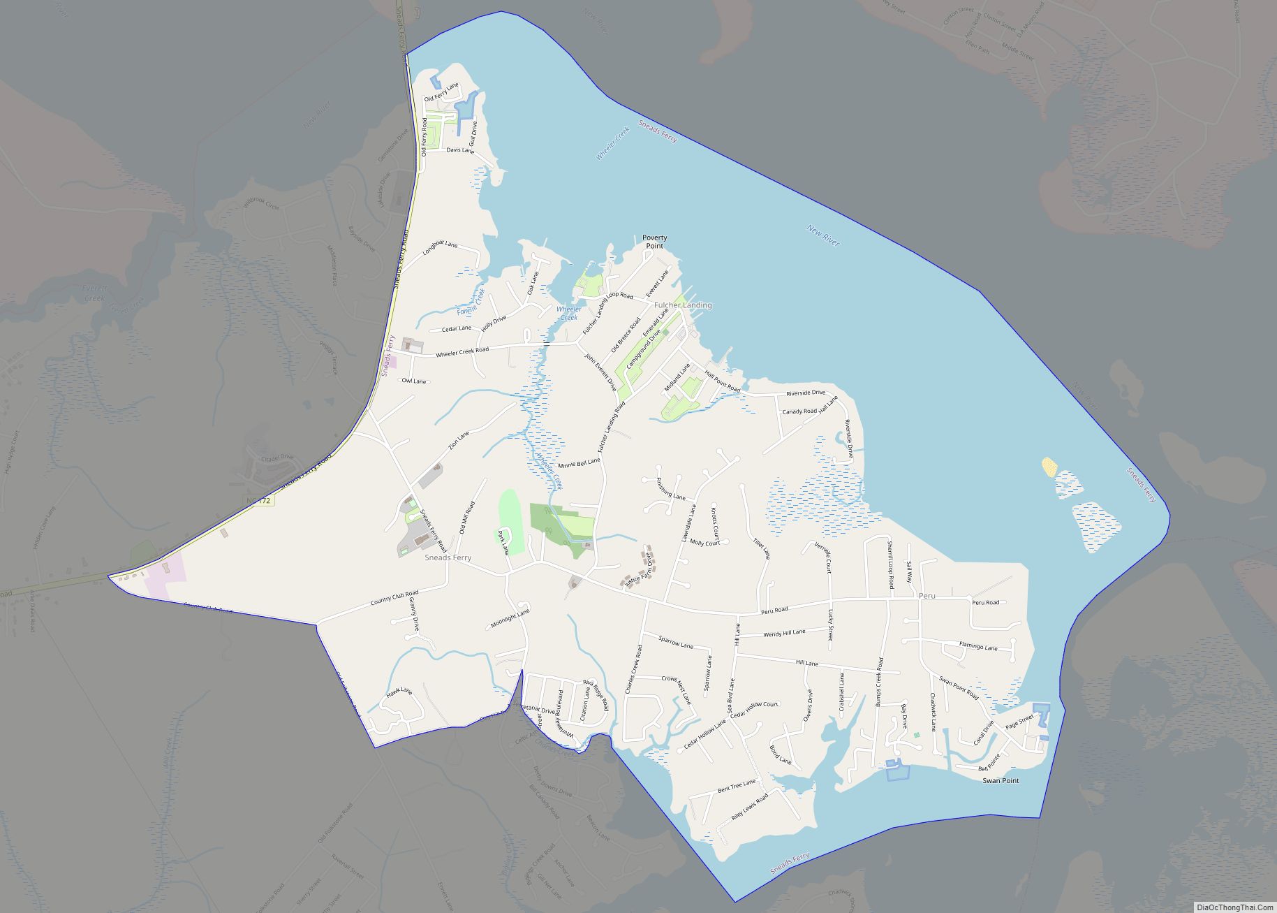
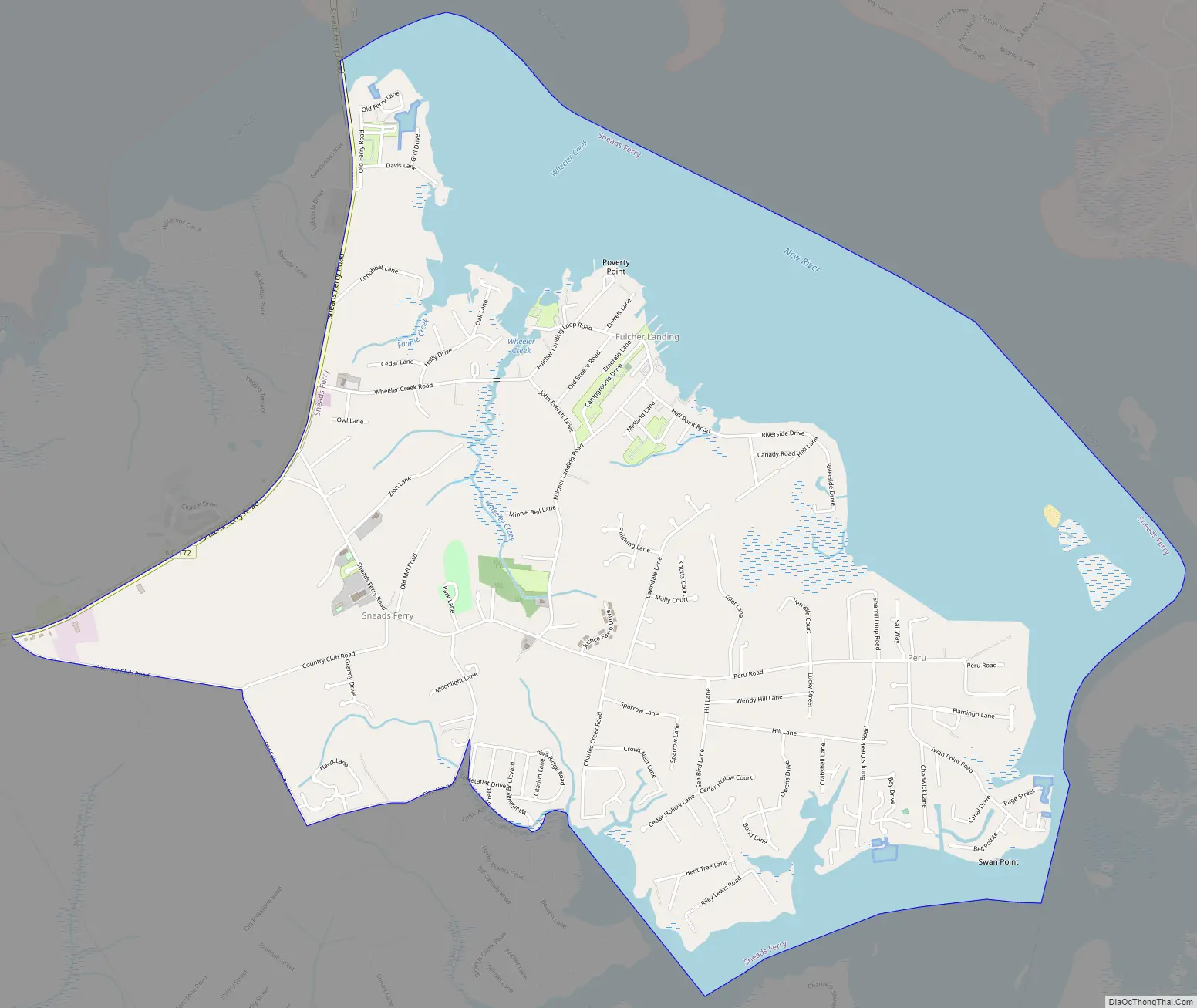
Sneads Ferry Road Map
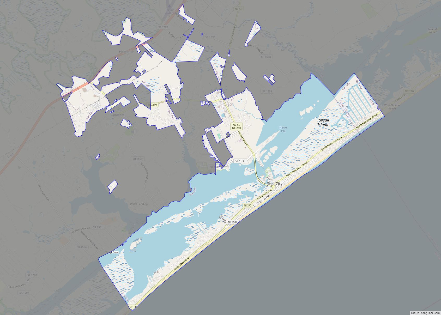
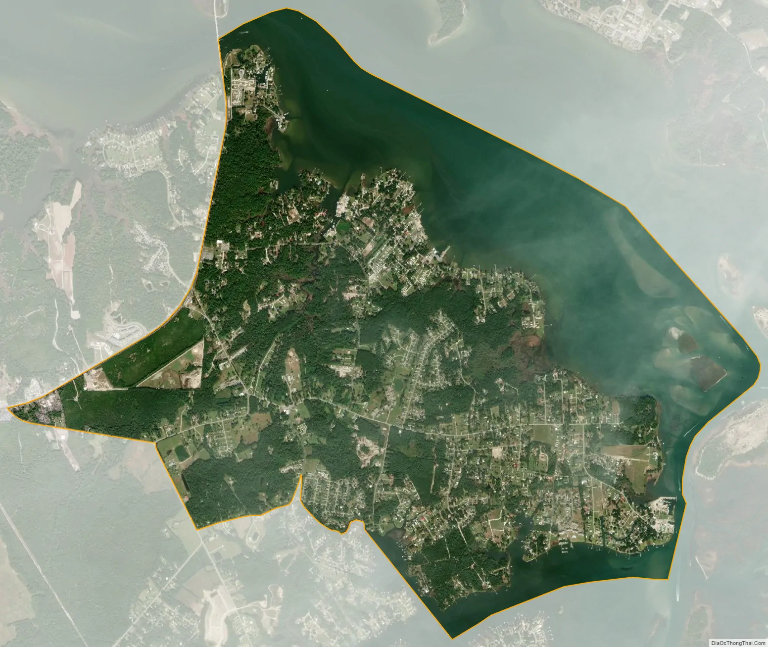
Sneads Ferry city Satellite Map
Geography
Sneads Ferry is located at 34°33′N 77°23′W / 34.550°N 77.383°W / 34.550; -77.383 (34.5520, -77.3866).
According to the United States Census Bureau, the CDP has a total area of 5.8 square miles (15 km), of which 3.8 square miles (9.8 km) is land and 2.1 square miles (5.4 km) (35.79%) is water.
See also
Map of North Carolina State and its subdivision:- Alamance
- Alexander
- Alleghany
- Anson
- Ashe
- Avery
- Beaufort
- Bertie
- Bladen
- Brunswick
- Buncombe
- Burke
- Cabarrus
- Caldwell
- Camden
- Carteret
- Caswell
- Catawba
- Chatham
- Cherokee
- Chowan
- Clay
- Cleveland
- Columbus
- Craven
- Cumberland
- Currituck
- Dare
- Davidson
- Davie
- Duplin
- Durham
- Edgecombe
- Forsyth
- Franklin
- Gaston
- Gates
- Graham
- Granville
- Greene
- Guilford
- Halifax
- Harnett
- Haywood
- Henderson
- Hertford
- Hoke
- Hyde
- Iredell
- Jackson
- Johnston
- Jones
- Lee
- Lenoir
- Lincoln
- Macon
- Madison
- Martin
- McDowell
- Mecklenburg
- Mitchell
- Montgomery
- Moore
- Nash
- New Hanover
- Northampton
- Onslow
- Orange
- Pamlico
- Pasquotank
- Pender
- Perquimans
- Person
- Pitt
- Polk
- Randolph
- Richmond
- Robeson
- Rockingham
- Rowan
- Rutherford
- Sampson
- Scotland
- Stanly
- Stokes
- Surry
- Swain
- Transylvania
- Tyrrell
- Union
- Vance
- Wake
- Warren
- Washington
- Watauga
- Wayne
- Wilkes
- Wilson
- Yadkin
- Yancey
- Alabama
- Alaska
- Arizona
- Arkansas
- California
- Colorado
- Connecticut
- Delaware
- District of Columbia
- Florida
- Georgia
- Hawaii
- Idaho
- Illinois
- Indiana
- Iowa
- Kansas
- Kentucky
- Louisiana
- Maine
- Maryland
- Massachusetts
- Michigan
- Minnesota
- Mississippi
- Missouri
- Montana
- Nebraska
- Nevada
- New Hampshire
- New Jersey
- New Mexico
- New York
- North Carolina
- North Dakota
- Ohio
- Oklahoma
- Oregon
- Pennsylvania
- Rhode Island
- South Carolina
- South Dakota
- Tennessee
- Texas
- Utah
- Vermont
- Virginia
- Washington
- West Virginia
- Wisconsin
- Wyoming