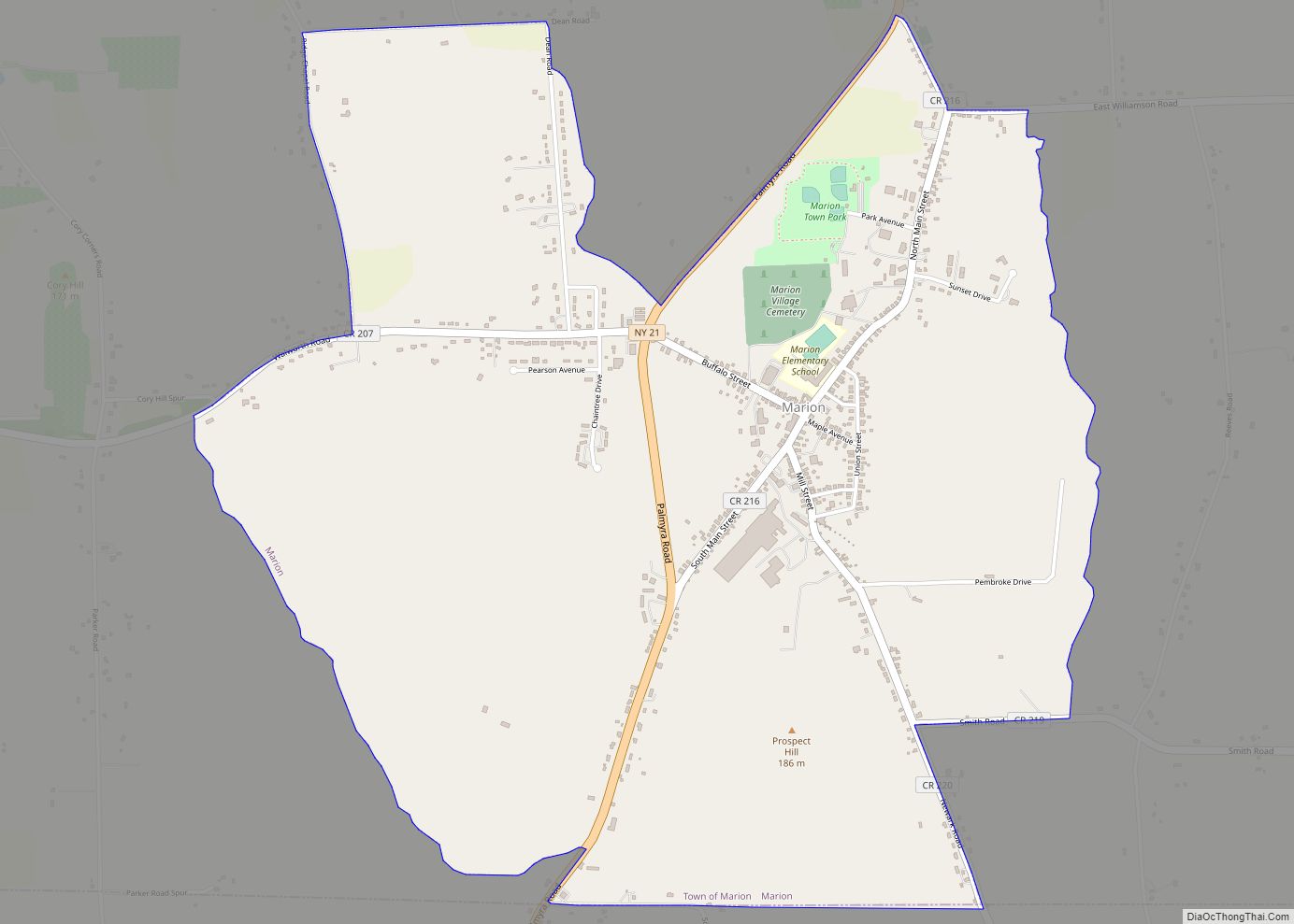
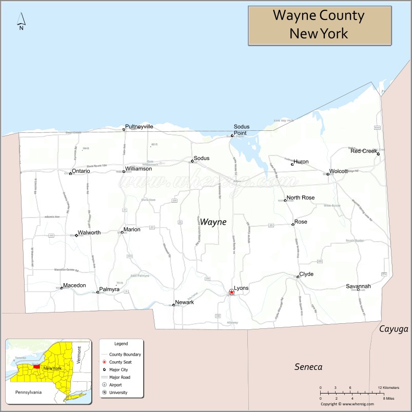
Wayne County is a county in the U.S. state of New York. As of the 2020 Census, the population was 91,283. The county seat is Lyons. The name honors General Anthony Wayne, an American Revolutionary War hero and American statesman.
Wayne County is less than 50 miles west of, and is in the same Congressional District as, Syracuse. Wayne County has been considered to be part of the Rochester, NY Metropolitan Statistical Area and lies on the south shore of Lake Ontario, forming part of the northern border of the United States with Canada.
Its location during the early westward expansion of the United States, on an international border and in a fertile farming region, has contributed to a rich cultural and economic history. Two world religions sprung from within its borders, and its inhabitants played important roles in abolitionism in the years leading up to the American Civil War. Nineteenth century War of 1812 skirmishes, Great Lakes sailing ship commerce and Erie Canal barge traffic have yielded to contemporary recognition as one of the world’s most productive fruit growing regions. Wayne County ranks as New York’s top apple producing county.
| Name: | Wayne County |
|---|---|
| FIPS code: | 36-117 |
| State: | New York |
| Founded: | 1823 |
| Named for: | Anthony Wayne |
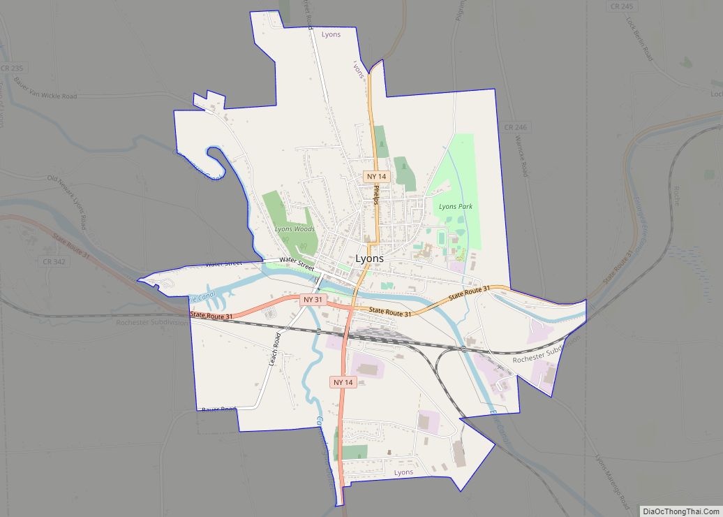
| Seat: | Lyons |
| Total Area: | 1,383 sq mi (3,580 km²) |
| Land Area: | 604 sq mi (1,560 km²) |
| Total Population: | 91,283 |
| Population Density: | 151/sq mi (58/km²) |
| Time zone: | UTC−5 (Eastern) |
| Summer Time Zone (DST): | UTC−4 (EDT) |
| Website: | web.co.wayne.ny.us |
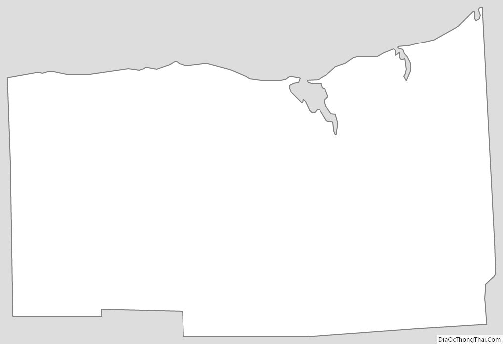
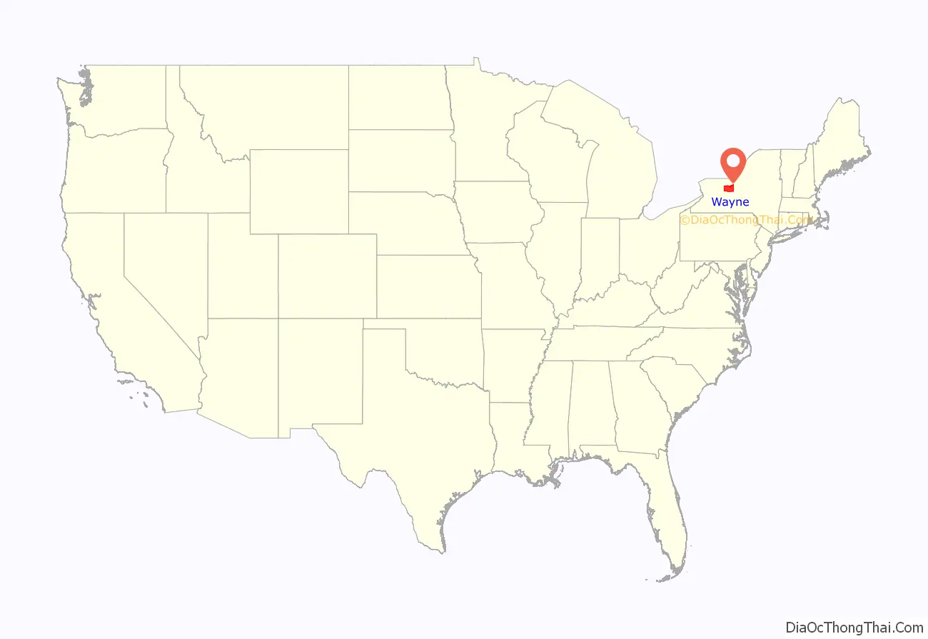
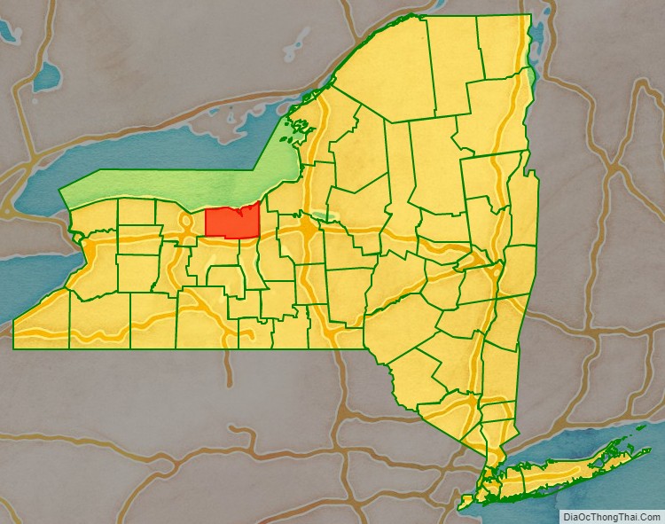
Wayne County location map. Where is Wayne County?
History
Prior to the arrival of Europeans, the land Wayne County encompasses was originally part of the Iroquois Confederacy, which had existed from around August 31, 1142. When counties were established in New York State on November 1, 1683, it became part of Albany County.
On April 11, 1823, Wayne County was formed by combining portions of Seneca and Ontario counties.
Westward expansion
The first settlers of European extraction came to the region located along the Ganargua River, just west of present-day Palmyra. In 1788 the area became part of the Phelps and Gorham Purchase, a 6,000,000 acres (24,000 km) tract of land sold to Oliver Phelps and Nathaniel Gorham by the Commonwealth of Massachusetts. Sir William Pulteney, a British baronet and English land speculator, along with his partners in the Pulteney Association, purchased a 1,000,000 acres (4,000 km) of the former Phelps and Gorham Purchase in 1790.
The first westward road was one coming from near Utica to Geneva, and, with the building of the Cayuga Bridge in 1800, was the road chosen by nearly all of the westward travelers. This highway left the future Wayne County region somewhat isolated and settlers desiring to locate there came by way of streams and lakes lying to the north of the road. It was only a few years after that the “new road” came west, passing through the county, opening up the fertile Ganargua lands to easier settlement.
The first permanent settlement was started by John Swift and Col. John Jenkins in March 1789, about two miles (3 km) from Palmyra. In May of that year a small colony made up of the Stansell and Featherly families located at the junction of Ganargwa and the Canandaigua Outlet, calling the place Lyons, from a “fancied likeness of that city’s location on the Rhone”.
While Phelps and Gorham sold some land to settlers, they were unable to make payments on their land and much of the land in the Phelps Gorham purchase either reverted to Massachusetts and was resold or conveyed directly to Robert Morris, a major financier of the Revolutionary War and signer of the US Declaration of Independence. In 1792, he in turn sold approximately 1,200,000 acres (4,900 km) to The Pulteney Association owned by Sir William Pulteney and two other minor partners. The Pulteney Purchase, or the Genesee Tract as it was also known, comprised all of the present-day counties of Ontario, Steuben and Yates, as well as portions of Allegany, Livingston, Monroe, Schuyler and Wayne. After Pulteney’s death in 1805 the land was known as the Pulteney Estate.
Sir William Pulteney selected Charles Williamson as land agent to develop the purchased 1,200,000 acres (4,900 km). In 1792, Williamson, a Scotsman, came to the unsettled wilderness in upstate New York to develop the land by building roads, selecting sites for towns, dividing land into lots, and building gristmills, taverns, stores and houses. Williamson selected Sodus Bay on Lake Ontario as the point for a future commercial center, with the idea that the lake and the Saint Lawrence River would be the outlet for the products of the region. In 1794 he had roads built from Palmyra to Phelpstown (present-day Phelps). Sodus was surveyed by Joseph Colt in lots of a quarter acre (1,000 m), a hotel was built, and $20,000 was expended in the first two years in improvements. Sodus quickly passed from having an uncertain future to the head of the towns of the region.
War of 1812
Two small skirmishes were fought in the county during the War of 1812: one in Sodus in June 1813, and the other in Williamson a year later. In May 1814, British troops under the command of Sir James Yeo landed in the Williamson hamlet of Pultneyville. Yeo’s fleet had already successfully raided Oswego to the east and unsuccessfully attacked Rochester to the west before attempting to obtain stores from Pultneyville. An agreement with the hamlet’s residents was made, permitting the invaders to seize supplies without resistance. A dispute broke out, however, and weapons fire began on both sides, including cannon bombardment from Lake Ontario. A few citizens were killed or wounded and two were taken prisoner as the British fled.
Great Lakes commerce
Until the opening of the Erie Canal in 1823, Pultneyville, New York, at the mouth of Salmon Creek, was Wayne County’s only port. From about 1811 through the 1890s (when the customs office closed), shipping in this small hamlet extended to the Atlantic Ocean and the world via the Saint Lawrence River. During the early years of the 19th century, activity in Pultneyville focused on agricultural commerce from the surrounding region (as far south as Canandaigua) and the maritime trade on the Great Lakes. In 1865, it was home to nearly 30 lake captains, and many sailors from both Pultneyville and Sodus Bay crewed on whalers around the world. In 1874 the first railroad appeared when the Lake Shore Railroad line opened and the center of trade moved three miles (5 km) south to Williamson and Pultneyville’s significance as a commerce center sharply declined.
Religion: Wayne County and the Second Great Awakening
Wayne County played host to key events in the development of significant American religions during the country’s Second Great Awakening period of the early 19th century. The Fox Sisters heard rappings from a dead peddler in Hydesville and spawned a movement that eventually garnered a million followers at its peak.
Palmyra became the birthplace of the Latter Day Saint movement in the 1820s.
Shakers in Wayne County
Sodus Bay also was the site of a community of Shakers from 1826 to 1836. The site provided convenient access to travel by water on the Great Lakes Ontario and Erie, for visits to Shakers who lived in Ohio. This site might also have been useful for abolitionists moving former slaves to freedom in Canada via the Underground Railroad.
The first Shaker leadership team, Elders Jeremiah Talcott and Eldress Polly Lawrence, along with their assistants John Lockwood and Lucy Brown, came to Sodus from the Shakers’ parent community at New Lebanon, New York. With 72 converts during their first year, they soon had 200 acres under cultivation. By 1835, the community had grown to almost 150.
However, they learned in 1835 that a canal had been proposed to be dug through their land, and by New York state law, the canal company had the right to seize the property it chose. The Shakers responded by selling their land and 23 buildings to the canal company and moving inland to the 1,700 acres they purchased at Groveland, in Livingston County, New York. However, the canal was never built; two years later, the Shakers were asked to take their property back, but, having reestablished their village elsewhere, and knowing that the land could later be taken for the same purpose, they refused.
Several diaries and journals describing the Shakers’ early years at Sodus and Groveland can be found at the Western Reserve Historical Society, Cleveland, Ohio. These manuscripts are available on microfilm at more than 20 locations throughout the U.S.
Mormonism
Wayne County is the birthplace of the Latter Day Saint movement and Mormonism. Founder Joseph Smith, whose family lived on a farm that straddled the line between Palmyra and Manchester, claimed to have been visited by God the Father and Jesus Christ in 1820, an event known as the First Vision. In 1830 the Book of Mormon was first published in the village of Palmyra by E.B. Grandin, in the present Book of Mormon Historic Publication Site.
Spiritualism and the Fox sisters
Spiritualists often set March 31, 1848 as the beginning of their movement. On that date, Kate and Margaret Fox, of Hydesville, reported that they had made contact with the spirit of a murdered peddler. What made this an extraordinary event was that the spirit communicated through audible rapping noises, rather than simply appearing to a person in a trance. The evidence of the senses appealed to practical Americans, and the Fox sisters became a sensation. Demonstrations of mediumship (seances and automatic writing, for example) proved to be a profitable business, and soon became popular forms of entertainment and spiritual catharsis. The Foxes earned a living this way, as did many others.
Civil War and Underground Railroad
During the American Civil War Wayne County inhabitants were active in support of the Underground Railroad due to the area’s proximity to slavery-free Canada. Wayne County also raised companies for multiple volunteer Union regiments, including the 33rd New York Volunteer Infantry Regiment, the 98th New York Volunteer Infantry Regiment, the 111th New York Volunteer Infantry Regiment, and the 9th New York Heavy Artillery Regiment.
During the Civil War, men from Wayne served in the 111th New York Infantry, under Colonel Clinton D. MacDougall.
The 111th New York was present at, among others, the Battle of Gettysburg, the Battle of the Wilderness, the Battle of Cold Harbor and the Appomattox Campaign. During the Battle of Gettysburg, the 111th took the second highest casualties as a regiment of the entire battle.
Throughout the war, the regiment took a total of 1803 casualties, of which 158 were Killed in action, 557 were Wounded in action (490 of whom recovered to some extent), and 1088 Missing in action.
Erie Canal
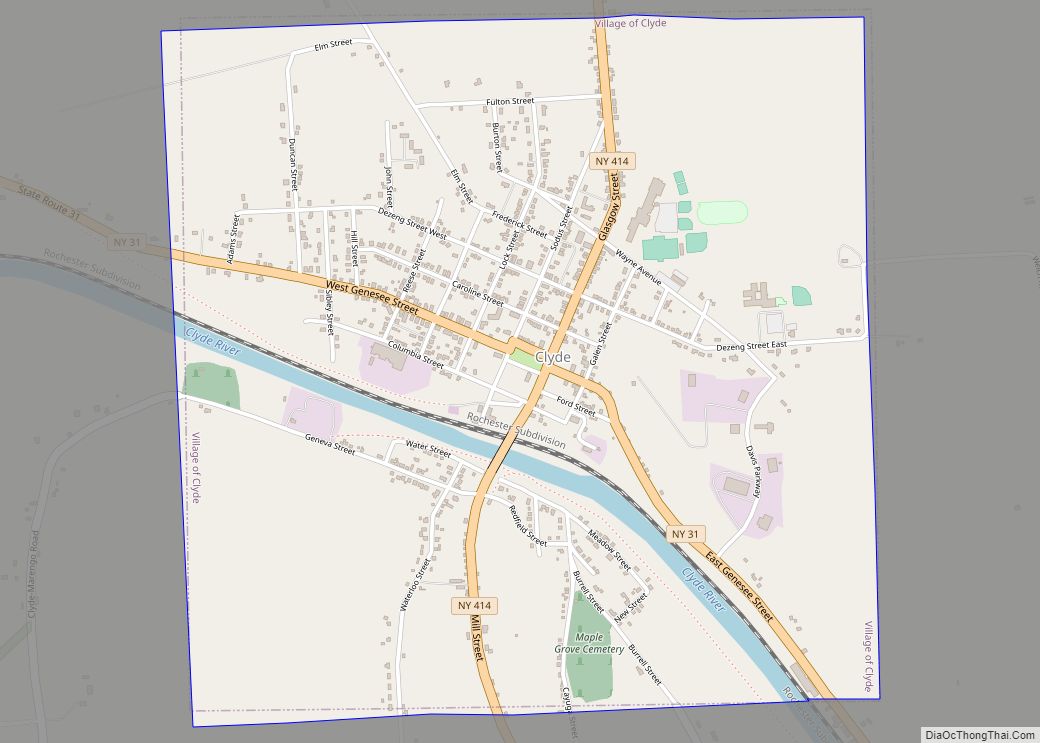
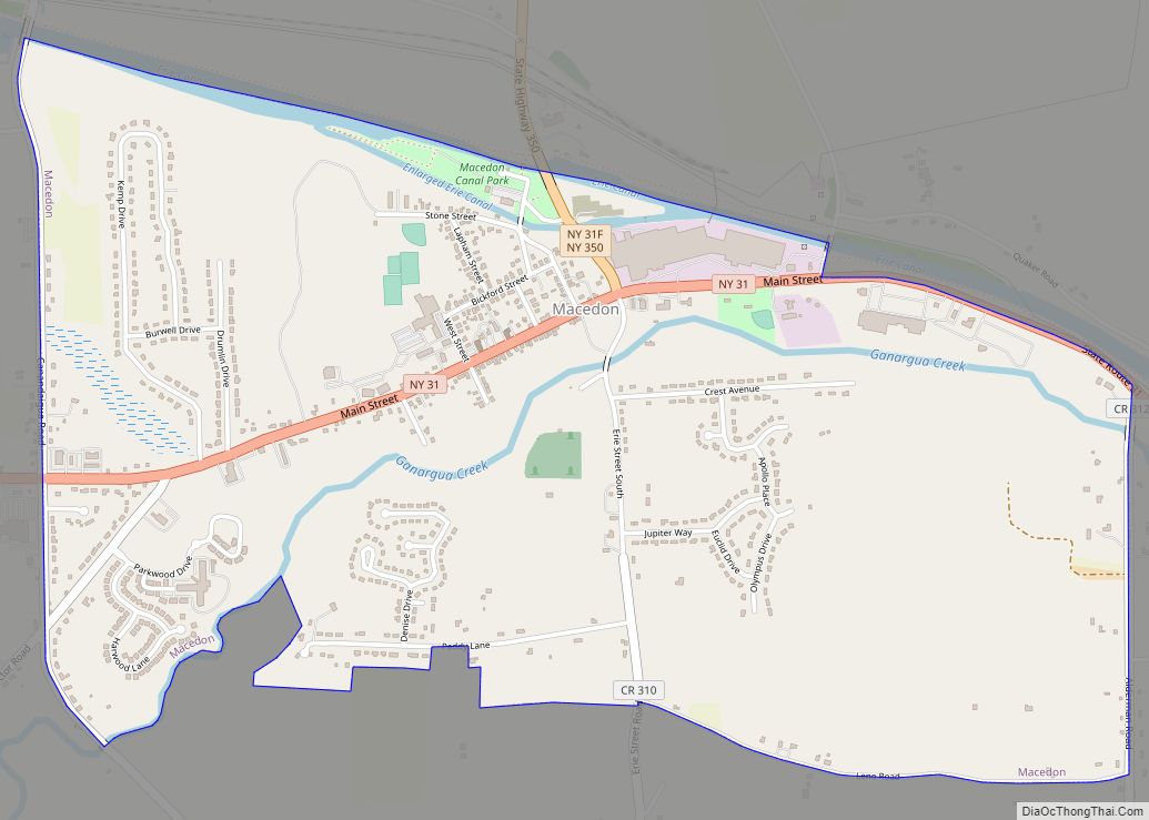
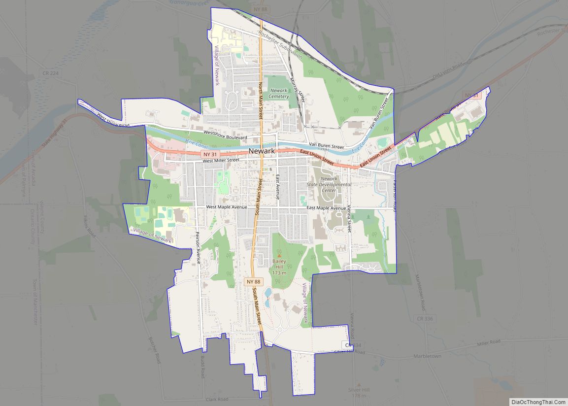
The Erie Canal transits the southern edge of the county. The villages of Clyde, Lyons, Newark, Palmyra and Macedon all became homes to canal locks when the Albany to Rochester section of the canal opened on September 10, 1823. On that day these communities became part of a direct water-link between the eastern seaboard metropolises of New York City and Baltimore and America’s expanding western frontier.
Hoffman essays
Wayne County high school seniors are offered the opportunity to win a scholarship by The Augustus L. and Jennie D. Hoffman Foundation Scholarship Essay Program. Established in 1954 to encourage the study of local history, students research and write essays on some aspect of Wayne County history or civic affairs. Between its inception and 2007 over 600 essays have been submitted.
Nuclear power
On June 1, 1970, the Robert E. Ginna Nuclear Power Plant started commercial operation on the shores of Lake Ontario, just over the Monroe County line in the Town of Ontario.
The Ginna plant was the site of a minor nuclear accident when, on January 25, 1982, a small amount of radioactive steam leaked into the air after a steam-generator tube ruptured. The leak which lasted 93 minutes led to the declaration of a site emergency. The rupture was caused by a small pie-pan-shaped object left in the steam generator during an outage. This was not the first time a tube rupture had occurred at an American reactor but following on so closely behind the Three Mile Island accident caused considerable attention to be focused on the incident at the Ginna plant. In total, 485.3 curies of noble gas and 1.15 millicuries of iodine-131 were released to the environment.
Historical societies
In addition to the county historical society, there are a number of other historical preservation organizations. Most of these are town or village based.
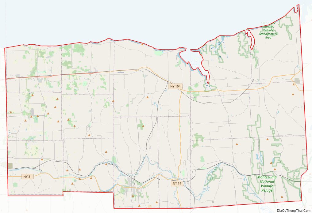
Wayne County Road Map
Geography
According to the U.S. Census Bureau, the county has a total area of 1,383 square miles (3,580 km), of which 604 square miles (1,560 km) is land and 779 square miles (2,020 km) (56%) is water.
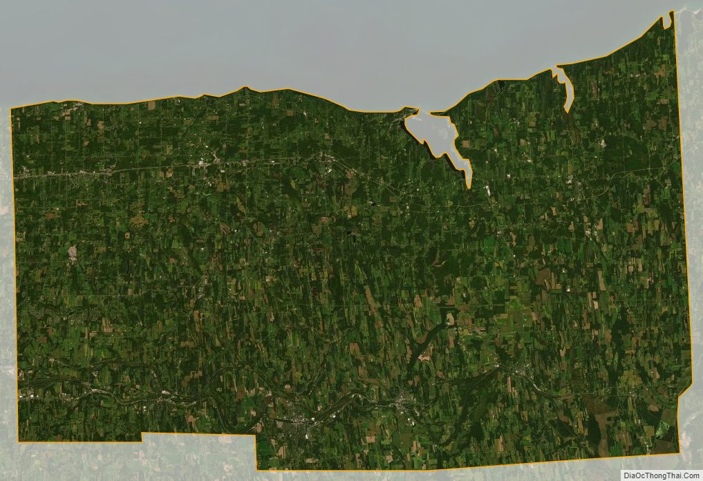
Wayne County is in the western part of New York State, east of Rochester and northwest of Syracuse, on the south shore of Lake Ontario. Sodus Bay is located on the north shoreline of the county. Wayne is bounded by five other New York counties: the northern boundary is Lake Ontario with Canada on the opposite shore; the western boundary is Monroe County; and the eastern boundary is Cayuga County; the south boundary is shared with Ontario and Seneca counties.
The Clinton Formation, a band of red hematite across the county, led to a thriving iron industry during the 19th century. Furnaces were located in the Towns of Ontario and Wolcott.
Wayne County is included in the Eastern Great Lakes and Hudson Lowlands ecoregion, which extends along the south shores of Lake Erie and Lake Ontario and the St. Lawrence River to Lake Champlain, and south down the Hudson River. This region was glaciated during the last ice age, and contains prominent glacial features including till and drumlins, as well as the valleys containing the Finger Lakes. Part of the area was covered by Glacial Lake Iroquois, while regions further to the east were flooded under the Champlain Sea. At one point during the melting of the glaciers, the Great Lakes drained down the Hudson River to the Atlantic Ocean.
Adjacent counties
- Cayuga County – east
- Seneca County – southeast
- Ontario County – south
- Monroe County – west
Major highways
- New York State Route 14
- New York State Route 21
- New York State Route 31
- New York State Route 31F
- New York State Route 88
- New York State Route 89
- New York State Route 104
- New York State Route 104A
- New York State Route 286
- New York State Route 350
- New York State Route 370
- New York State Route 414
- New York State Route 441
National protected area
- Montezuma National Wildlife Refuge (part)
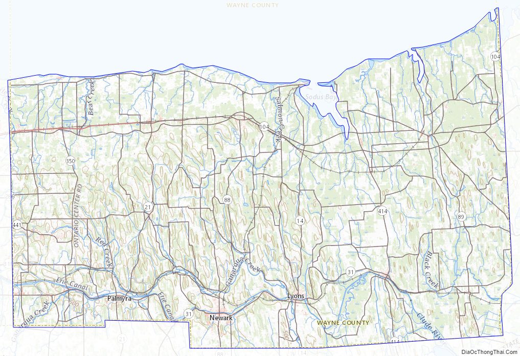
Wayne County Topographic Map
Wayne County Satellite Map
Wayne County Outline Map