Watersmeet is an unincorporated community and census-designated place (CDP) in Watersmeet Township, Michigan. As of the 2010 census, the CDP had a population of 428, out of a total population in the township of 1,417. The community was platted in 1884, designated as a station of the Milwaukee Lake Shore and Western Railroad.
| Name: | Watersmeet CDP |
|---|---|
| LSAD Code: | 57 |
| LSAD Description: | CDP (suffix) |
| State: | Michigan |
| County: | Gogebic County |
| Elevation: | 1,598 ft (487 m) |
| Total Area: | 9.21 sq mi (23.84 km²) |
| Land Area: | 9.20 sq mi (23.83 km²) |
| Water Area: | 0.01 sq mi (0.01 km²) |
| Total Population: | 408 |
| Population Density: | 44.35/sq mi (17.12/km²) |
| Area code: | 906 |
| FIPS code: | 2684360 |
| GNISfeature ID: | 1622065 |
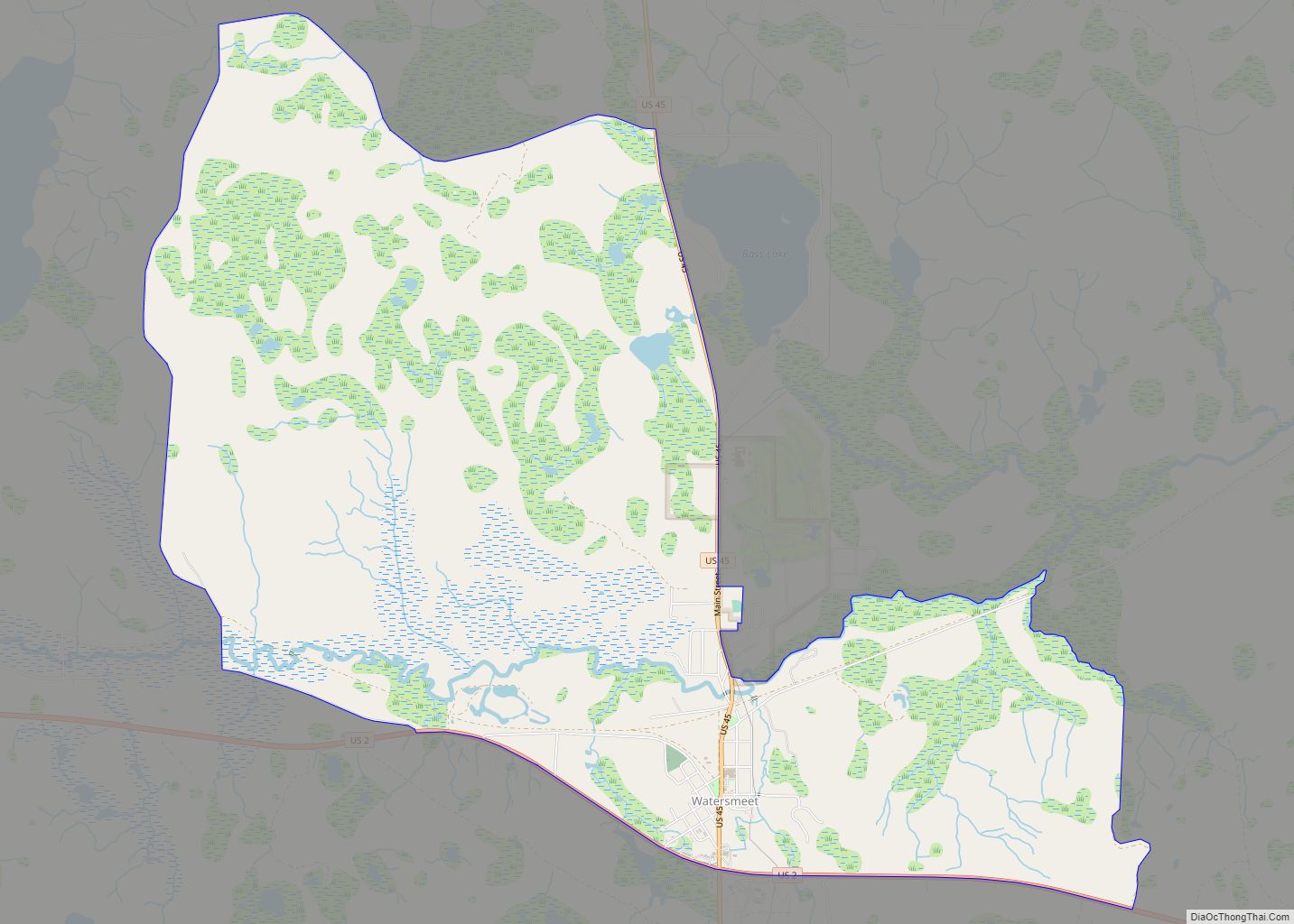
Online Interactive Map
Click on ![]() to view map in "full screen" mode.
to view map in "full screen" mode.
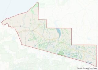
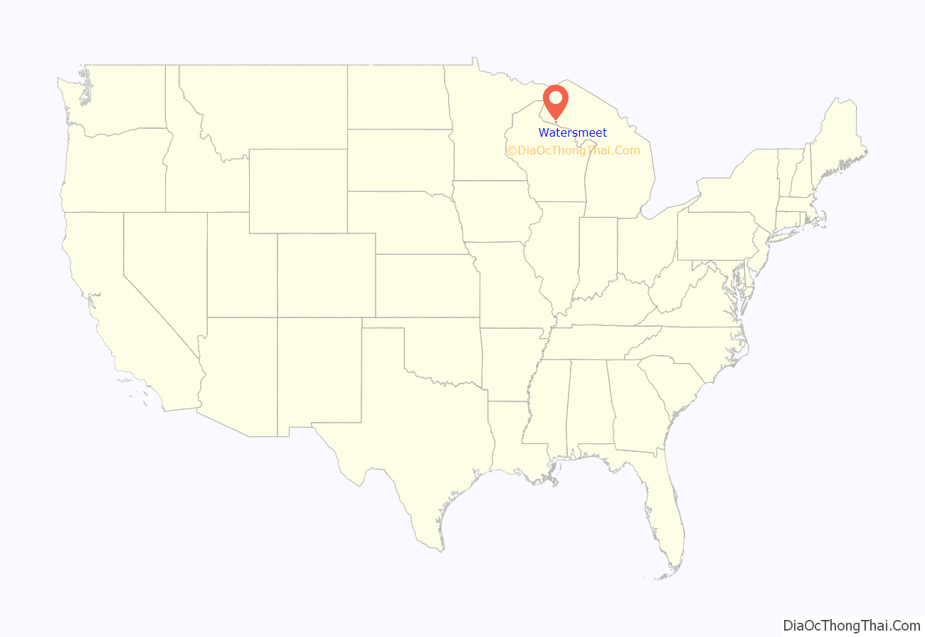
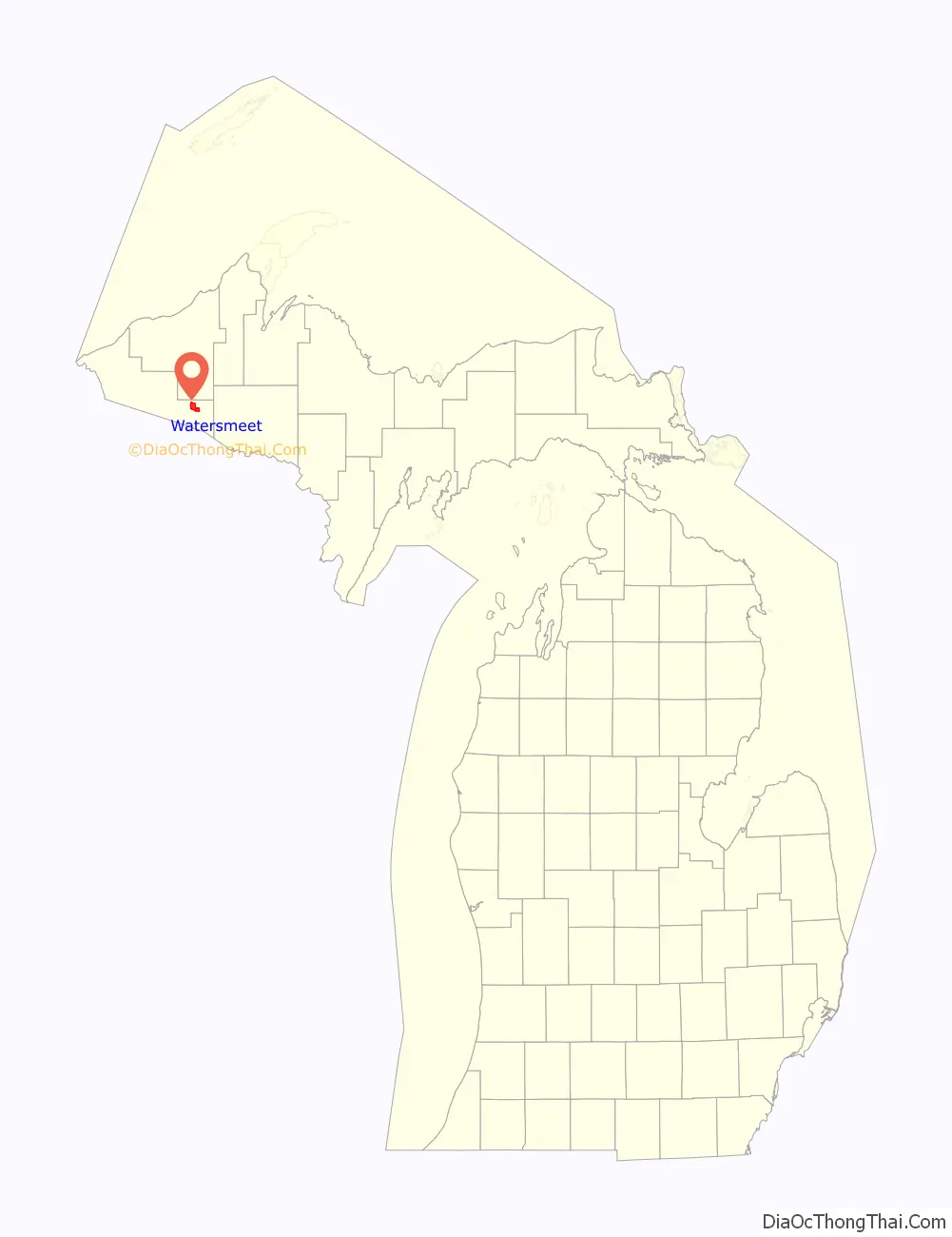
Watersmeet location map. Where is Watersmeet CDP?
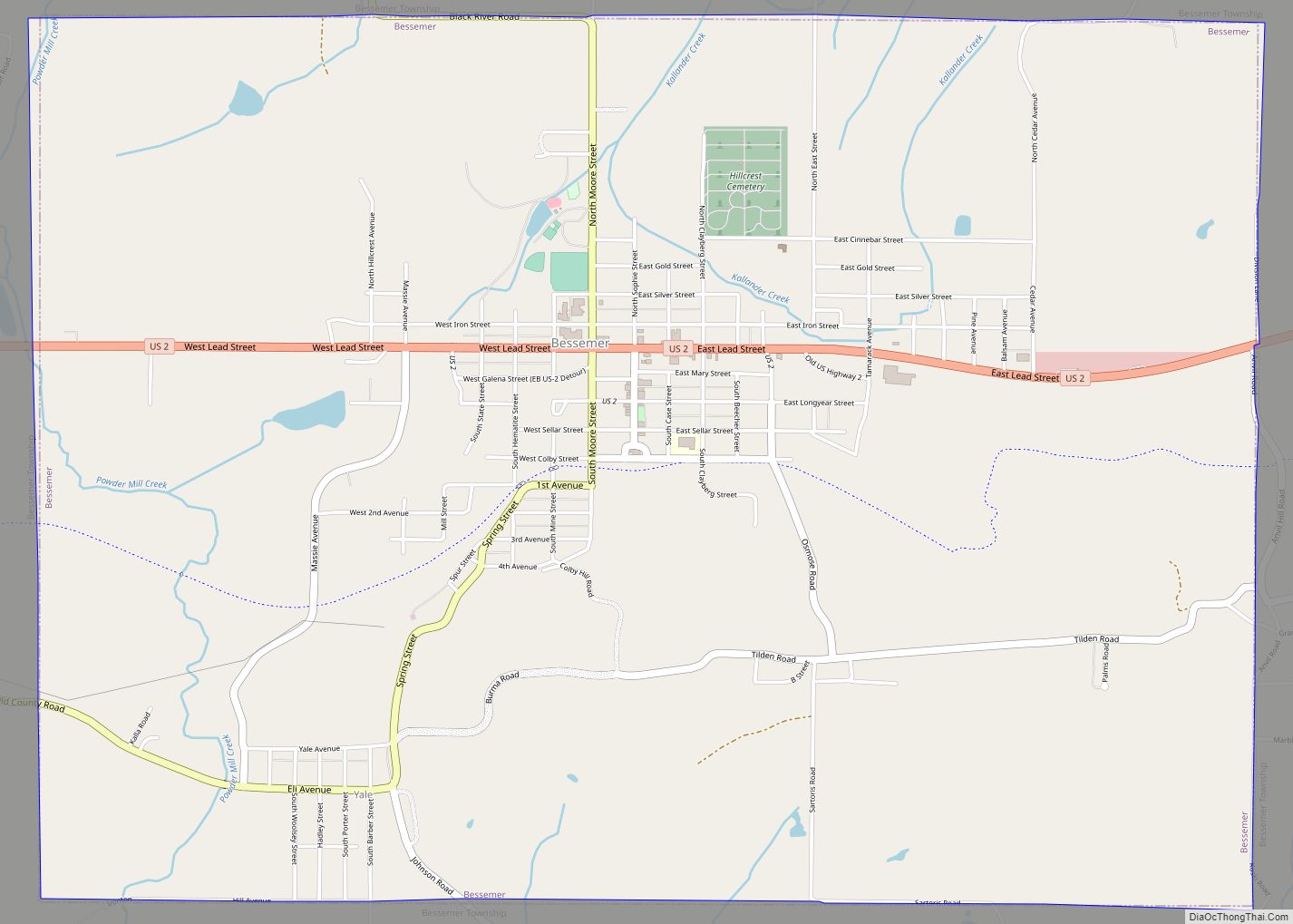
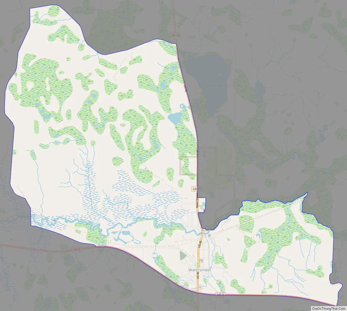
Watersmeet Road Map
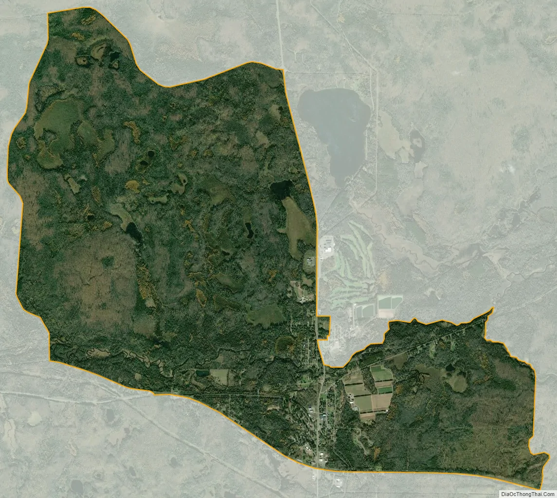
Watersmeet city Satellite Map
Geography
The community is located in the northern part of Watersmeet Township, in the western part of Michigan’s Upper Peninsula, at the confluence of Duck Creek with the Middle Branch of the Ontonagon River. U.S. Routes 2 and 45 cross at the southern edge of town; US 2 leads southeast 30 miles (48 km) to Iron River and northwest 41 miles (66 km) to Wakefield, while US 45 leads north 46 miles (74 km) to Ontonagon on Lake Superior and south 26 miles (42 km) to Eagle River, Wisconsin. The community is also served by the State Line Trail.
The community of Watersmeet was listed as a newly-organized census-designated place for the 2010 census, meaning it now has officially defined boundaries and population statistics for the first time. According to the United States Census Bureau, the Watersmeet CDP has an area of 9.2 square miles (23.8 km), of which 0.004 square miles (0.01 km), or 0.06%, is water.
See also
Map of Michigan State and its subdivision:- Alcona
- Alger
- Allegan
- Alpena
- Antrim
- Arenac
- Baraga
- Barry
- Bay
- Benzie
- Berrien
- Branch
- Calhoun
- Cass
- Charlevoix
- Cheboygan
- Chippewa
- Clare
- Clinton
- Crawford
- Delta
- Dickinson
- Eaton
- Emmet
- Genesee
- Gladwin
- Gogebic
- Grand Traverse
- Gratiot
- Hillsdale
- Houghton
- Huron
- Ingham
- Ionia
- Iosco
- Iron
- Isabella
- Jackson
- Kalamazoo
- Kalkaska
- Kent
- Keweenaw
- Lake
- Lake Hurron
- Lake Michigan
- Lake St. Clair
- Lake Superior
- Lapeer
- Leelanau
- Lenawee
- Livingston
- Luce
- Mackinac
- Macomb
- Manistee
- Marquette
- Mason
- Mecosta
- Menominee
- Midland
- Missaukee
- Monroe
- Montcalm
- Montmorency
- Muskegon
- Newaygo
- Oakland
- Oceana
- Ogemaw
- Ontonagon
- Osceola
- Oscoda
- Otsego
- Ottawa
- Presque Isle
- Roscommon
- Saginaw
- Saint Clair
- Saint Joseph
- Sanilac
- Schoolcraft
- Shiawassee
- Tuscola
- Van Buren
- Washtenaw
- Wayne
- Wexford
- Alabama
- Alaska
- Arizona
- Arkansas
- California
- Colorado
- Connecticut
- Delaware
- District of Columbia
- Florida
- Georgia
- Hawaii
- Idaho
- Illinois
- Indiana
- Iowa
- Kansas
- Kentucky
- Louisiana
- Maine
- Maryland
- Massachusetts
- Michigan
- Minnesota
- Mississippi
- Missouri
- Montana
- Nebraska
- Nevada
- New Hampshire
- New Jersey
- New Mexico
- New York
- North Carolina
- North Dakota
- Ohio
- Oklahoma
- Oregon
- Pennsylvania
- Rhode Island
- South Carolina
- South Dakota
- Tennessee
- Texas
- Utah
- Vermont
- Virginia
- Washington
- West Virginia
- Wisconsin
- Wyoming