Vanderbilt is a village in Otsego County in the U.S. state of Michigan. The population was 498 at the 2020 census. The village is located within Corwith Township.
Vanderbilt holds the record for the coldest recorded temperature in the state of Michigan when it reached −51 °F (−46 °C) on February 9, 1934.
| Name: | Vanderbilt village |
|---|---|
| LSAD Code: | 47 |
| LSAD Description: | village (suffix) |
| State: | Michigan |
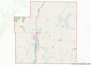
| County: | Otsego County |
| Incorporated: | 1901 |
| Elevation: | 1,096 ft (334 m) |
| Total Area: | 1.09 sq mi (2.82 km²) |
| Land Area: | 1.09 sq mi (2.82 km²) |
| Water Area: | 0.00 sq mi (0.00 km²) |
| Total Population: | 498 |
| Population Density: | 456.46/sq mi (176.29/km²) |
| Area code: | 989 |
| FIPS code: | 2681700 |
| GNISfeature ID: | 1615504 |
Online Interactive Map
Click on ![]() to view map in "full screen" mode.
to view map in "full screen" mode.
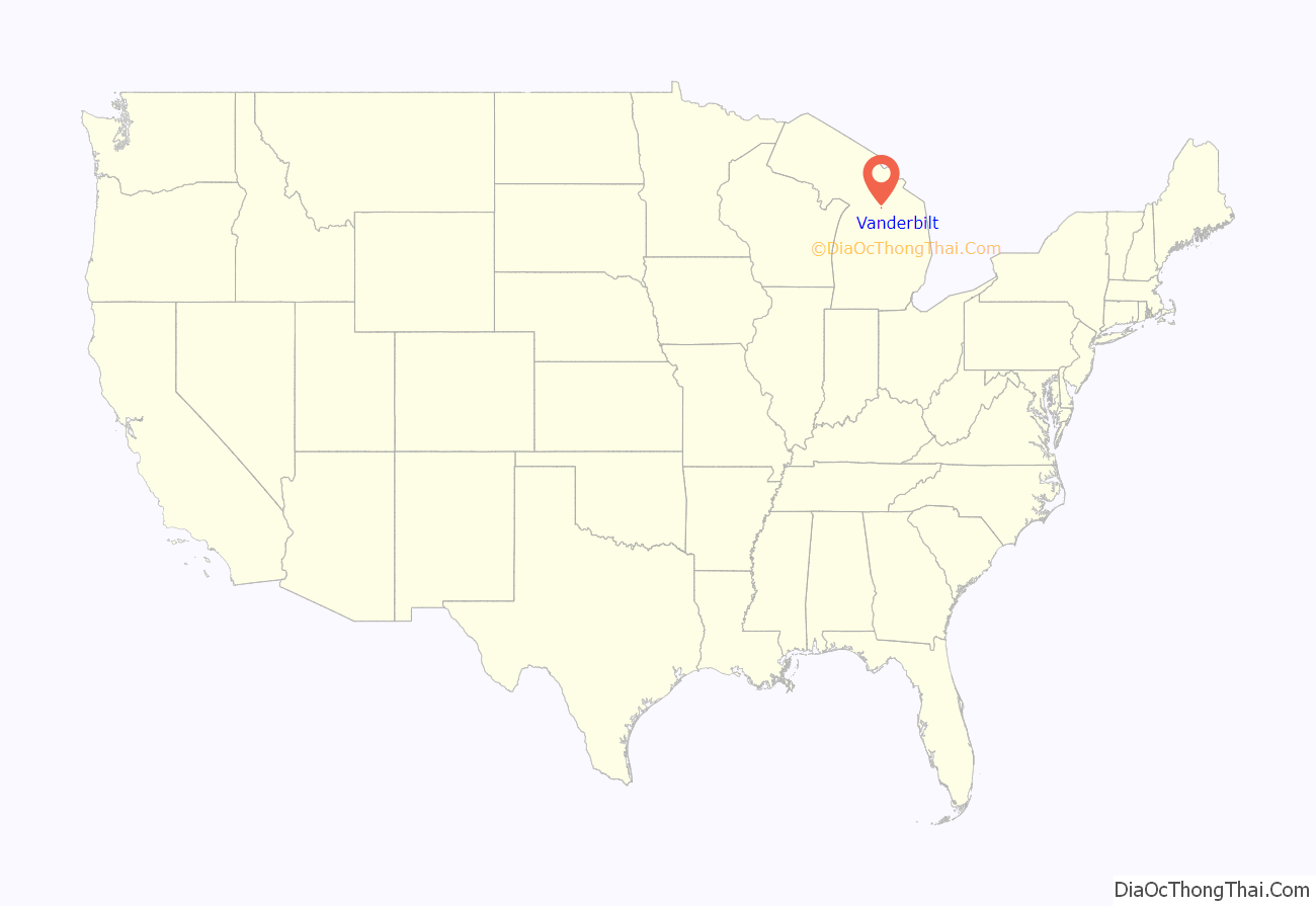
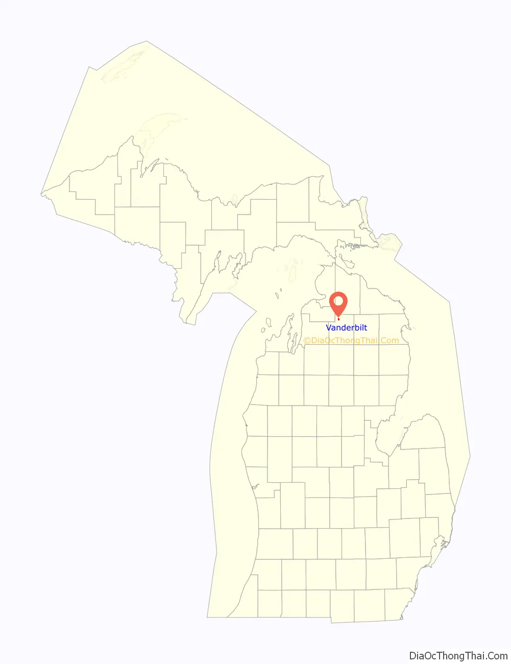
Vanderbilt location map. Where is Vanderbilt village?
History
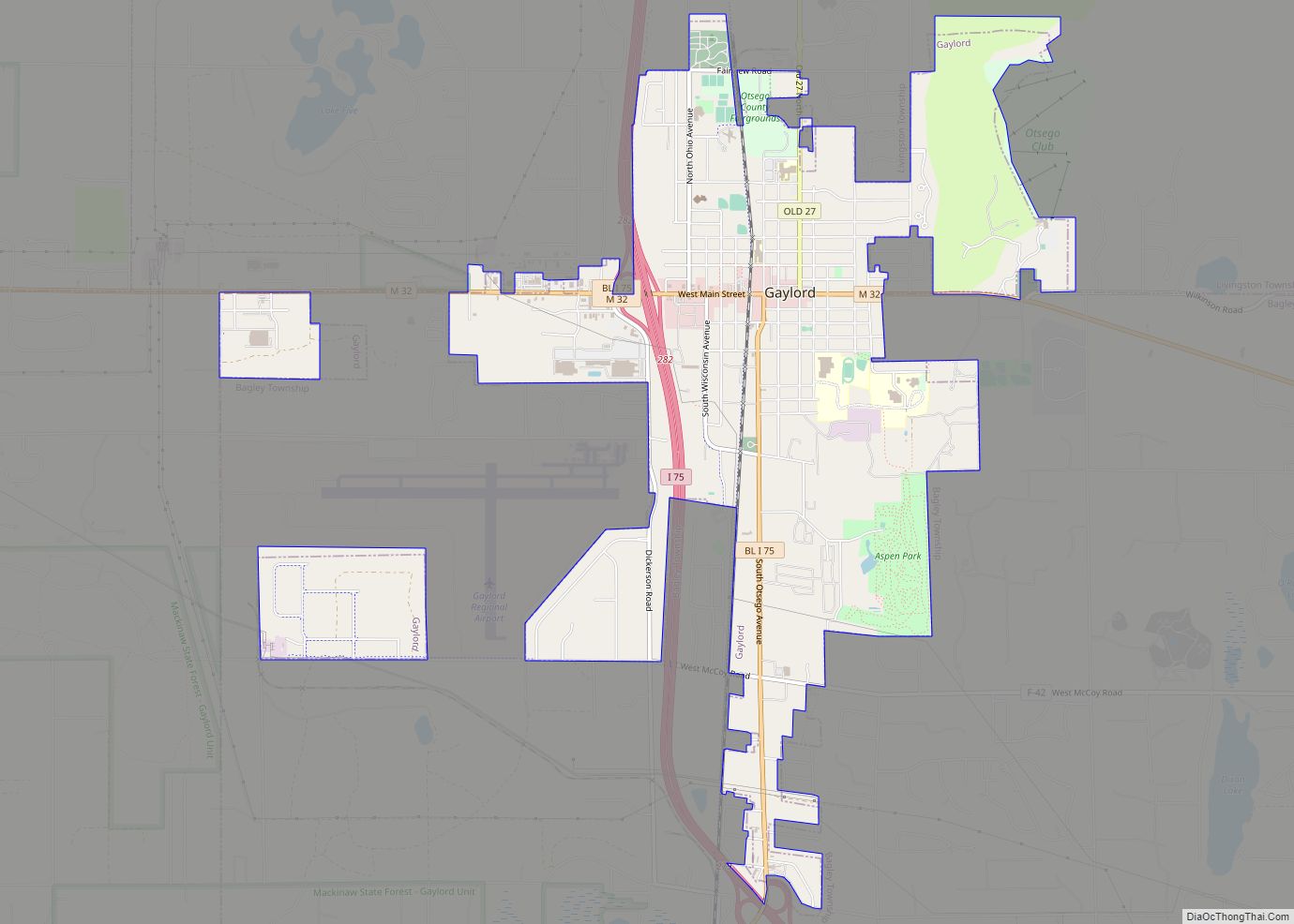
The area was first settled as early as 1875 when a railway belonging to the Michigan Central Railroad was planned to extend north from Gaylord. The settlement was named after Cornelius Vanderbilt, who owned land within Corwith Township. The railway reached Vanderbilt by 1881.
The village was incorporated in 1901.
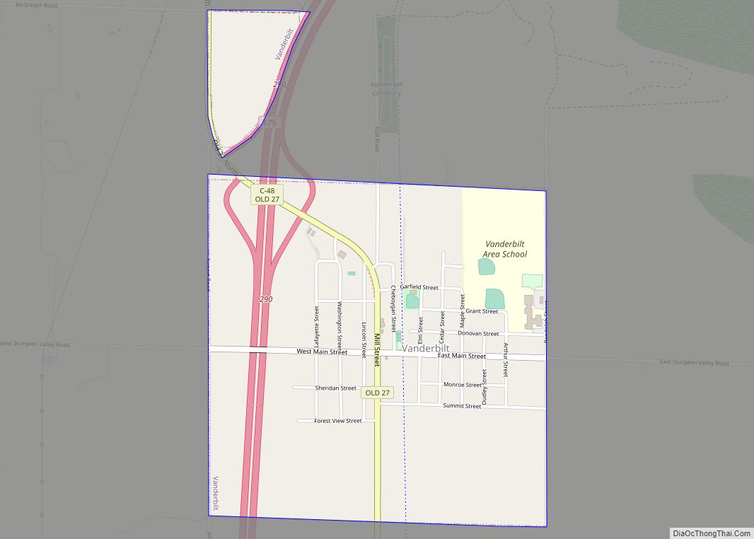
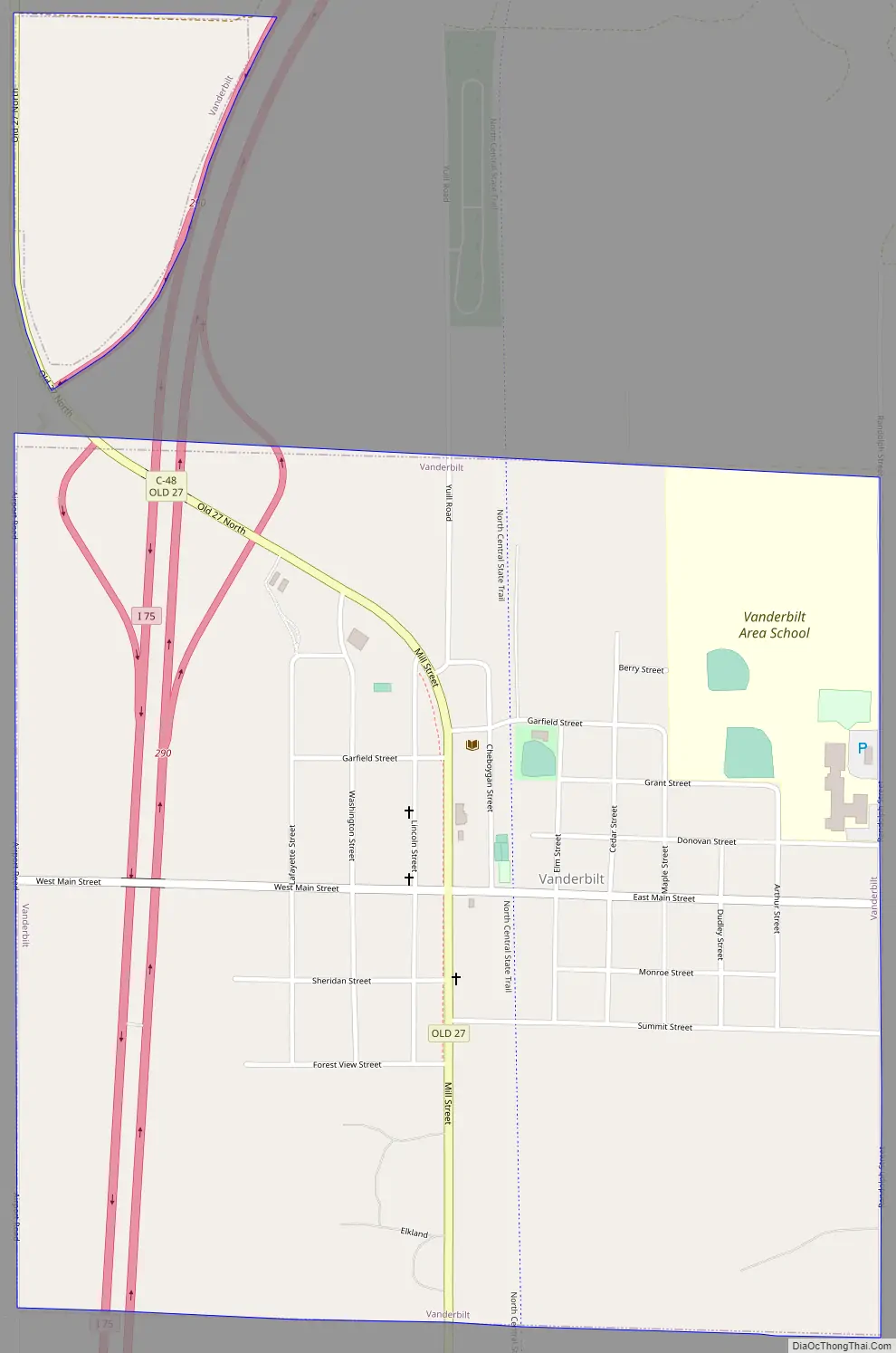
Vanderbilt Road Map
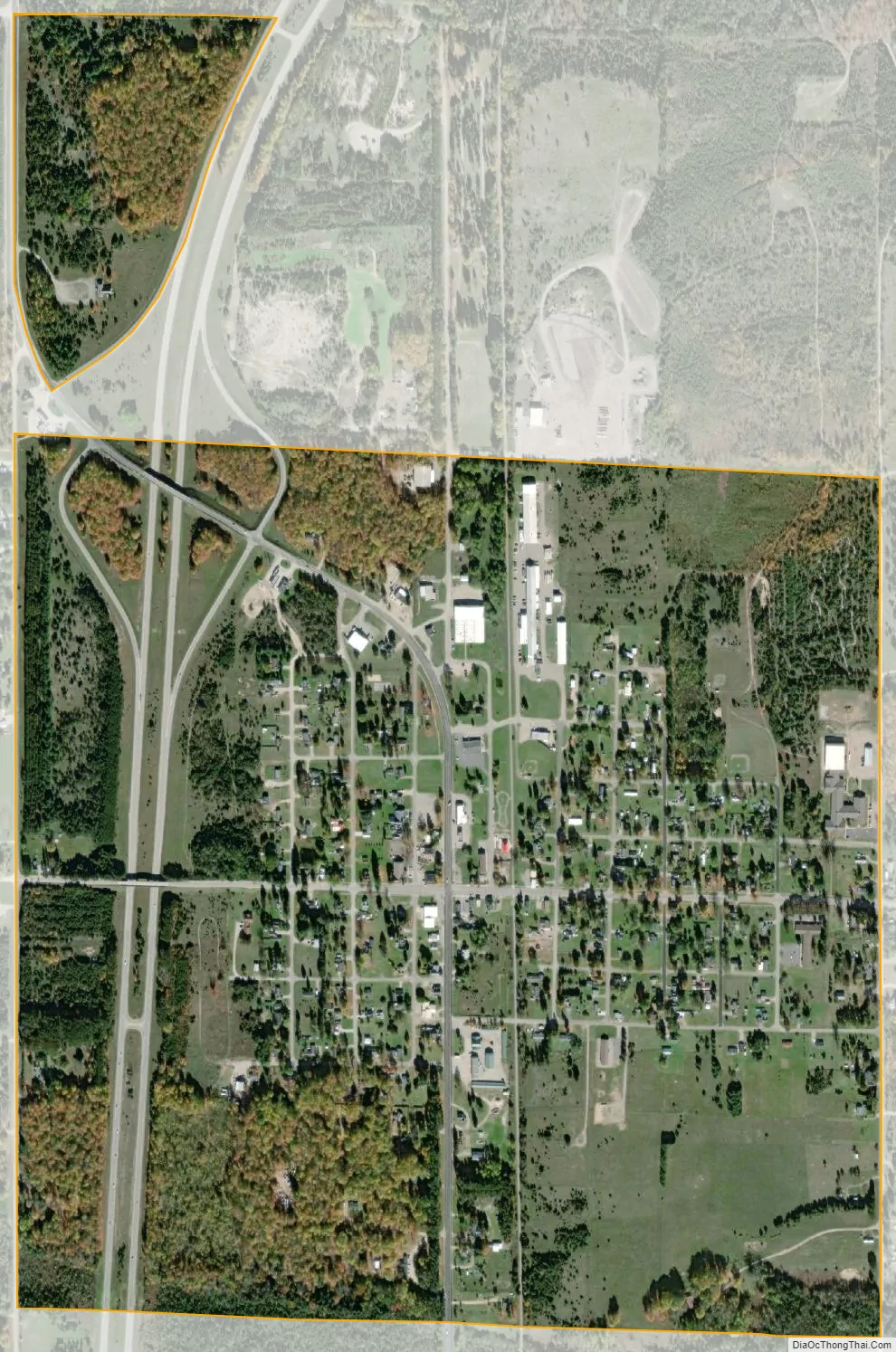
Vanderbilt city Satellite Map
Geography
According to the U.S. Census Bureau, the village has a total area of 1.09 square miles (2.82 km), all of it land.
Major highways
- I-75 runs north–south through the western edge of the village and is accessible via exit 290 (Mill Street).
Climate
This climatic region is typified by large seasonal temperature differences, with warm to hot (and often humid) summers and cold (sometimes severely cold) winters. According to the Köppen Climate Classification system, Vanderbilt has a humid continental climate, abbreviated “Dfb” on climate maps.
On February 9, 1934, the temperature in Vanderbilt fell to −51 °F (−46 °C), the coldest ever recorded in Michigan. On July 13, 1936, the highest temperature recorded in Michigan was in Mio, one county southeast, which reached 112 °F (44 °C).
See also
Map of Michigan State and its subdivision:- Alcona
- Alger
- Allegan
- Alpena
- Antrim
- Arenac
- Baraga
- Barry
- Bay
- Benzie
- Berrien
- Branch
- Calhoun
- Cass
- Charlevoix
- Cheboygan
- Chippewa
- Clare
- Clinton
- Crawford
- Delta
- Dickinson
- Eaton
- Emmet
- Genesee
- Gladwin
- Gogebic
- Grand Traverse
- Gratiot
- Hillsdale
- Houghton
- Huron
- Ingham
- Ionia
- Iosco
- Iron
- Isabella
- Jackson
- Kalamazoo
- Kalkaska
- Kent
- Keweenaw
- Lake
- Lake Hurron
- Lake Michigan
- Lake St. Clair
- Lake Superior
- Lapeer
- Leelanau
- Lenawee
- Livingston
- Luce
- Mackinac
- Macomb
- Manistee
- Marquette
- Mason
- Mecosta
- Menominee
- Midland
- Missaukee
- Monroe
- Montcalm
- Montmorency
- Muskegon
- Newaygo
- Oakland
- Oceana
- Ogemaw
- Ontonagon
- Osceola
- Oscoda
- Otsego
- Ottawa
- Presque Isle
- Roscommon
- Saginaw
- Saint Clair
- Saint Joseph
- Sanilac
- Schoolcraft
- Shiawassee
- Tuscola
- Van Buren
- Washtenaw
- Wayne
- Wexford
- Alabama
- Alaska
- Arizona
- Arkansas
- California
- Colorado
- Connecticut
- Delaware
- District of Columbia
- Florida
- Georgia
- Hawaii
- Idaho
- Illinois
- Indiana
- Iowa
- Kansas
- Kentucky
- Louisiana
- Maine
- Maryland
- Massachusetts
- Michigan
- Minnesota
- Mississippi
- Missouri
- Montana
- Nebraska
- Nevada
- New Hampshire
- New Jersey
- New Mexico
- New York
- North Carolina
- North Dakota
- Ohio
- Oklahoma
- Oregon
- Pennsylvania
- Rhode Island
- South Carolina
- South Dakota
- Tennessee
- Texas
- Utah
- Vermont
- Virginia
- Washington
- West Virginia
- Wisconsin
- Wyoming