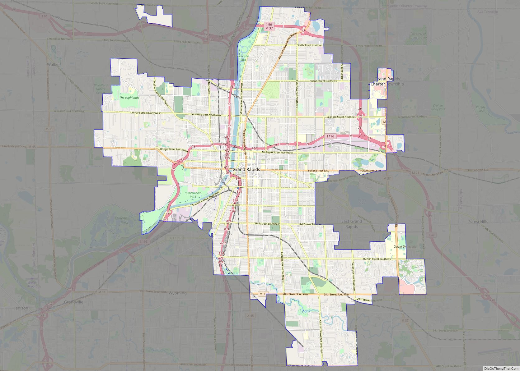
Kentwood is a city in Kent County in the U.S. state of Michigan. The population was 54,304 as of the 2020 census. The city is bordered on the northwest by Grand Rapids and is the third most-populated municipality in the Grand Rapids metropolitan area.
| Name: | Kentwood city |
|---|---|
| LSAD Code: | 25 |
| LSAD Description: | city (suffix) |
| State: | Michigan |
| County: | Kent County |
| Incorporated: | 1967 |
| Elevation: | 738 ft (225 m) |
| Total Area: | 20.96 sq mi (54.30 km²) |
| Land Area: | 20.91 sq mi (54.17 km²) |
| Water Area: | 0.05 sq mi (0.13 km²) |
| Total Population: | 54,304 |
| Population Density: | 2,596.41/sq mi (1,002.50/km²) |
| Area code: | 616 |
| FIPS code: | 2642820 |
| GNISfeature ID: | 1626558 |
Online Interactive Map
Click on ![]() to view map in "full screen" mode.
to view map in "full screen" mode.
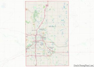
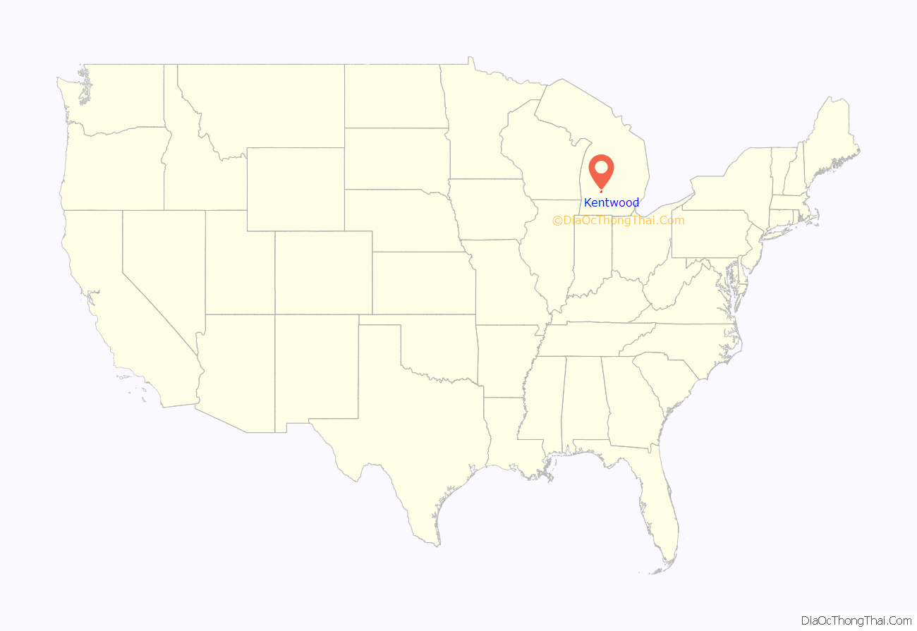
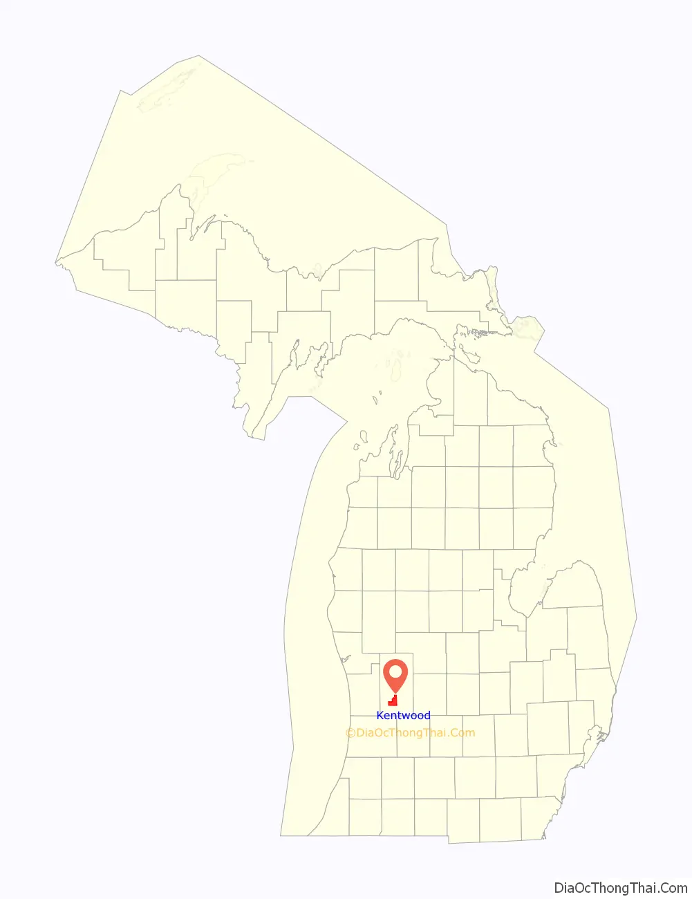
Kentwood location map. Where is Kentwood city?
History
The city was incorporated in 1967 from what remained of Paris Township to prevent further annexation of land from the adjacent cities of Grand Rapids and Wyoming. The city was named after Kent County, which was named after jurist James Kent.
The city’s first mayor was Peter M. Lamberts, who served in that post until 1979. Subsequent mayors have included Marvin Hoeflinger (1979–1981), Gerald DeRuiter (1981–1992), Bill Hardiman (1992–2002), Richard Root (2002–2012), Richard Clanton (2012–2013), and Stephen Kepley (2013–present).
Kentwood Mine
The Kentwood Mine is an underground gypsum mine in Kentwood, at 42°53′24″N 85°34′44″W / 42.890°N 85.579°W / 42.890; -85.579 (Kentwood Mine). Opened in 1971 and closed in 2000, it was operated by Georgia-Pacific.
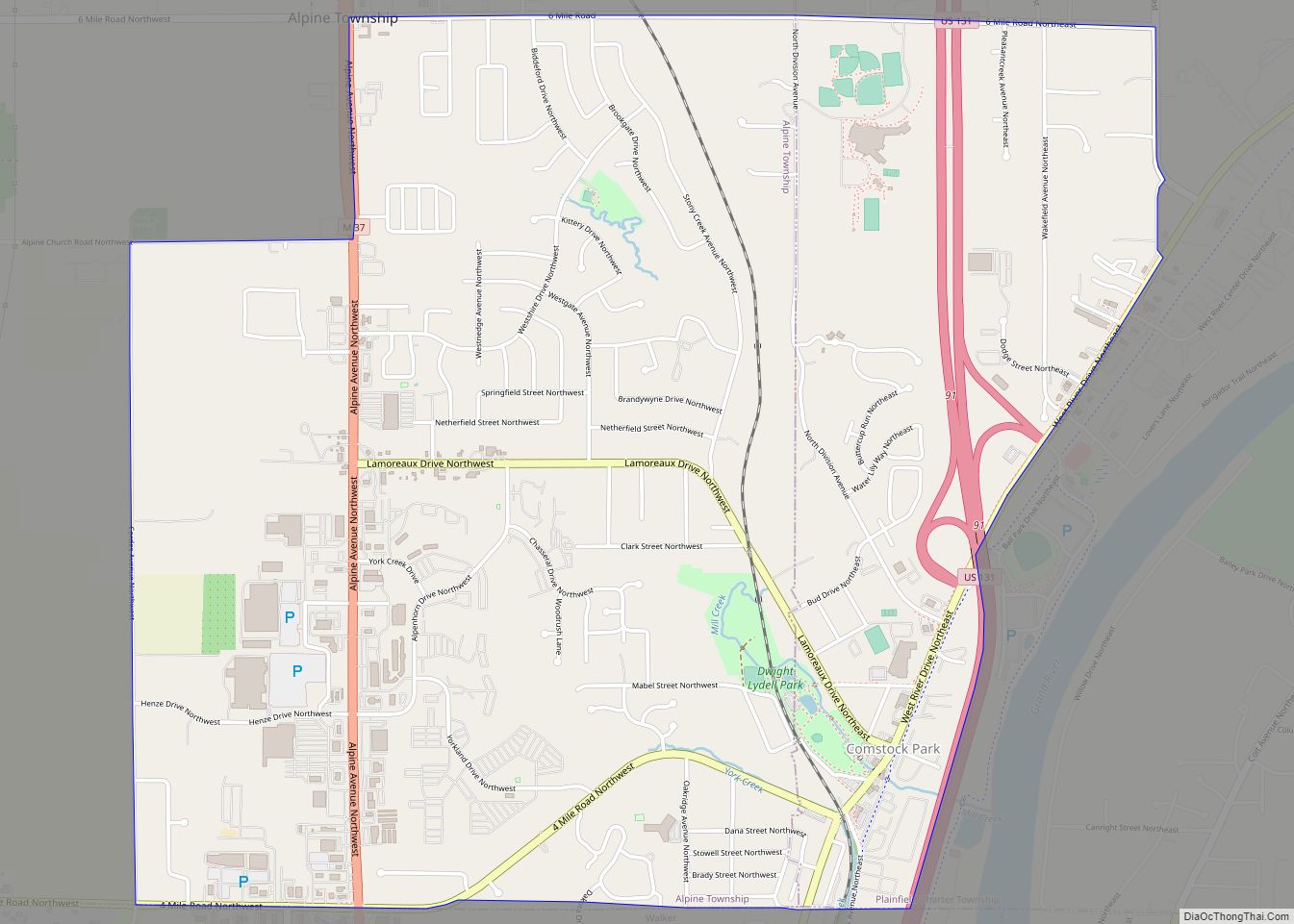
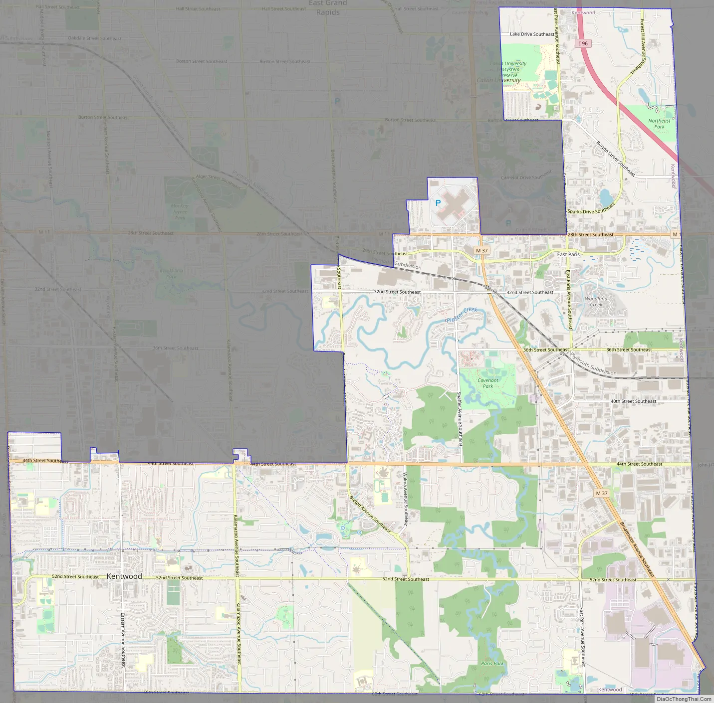
Kentwood Road Map
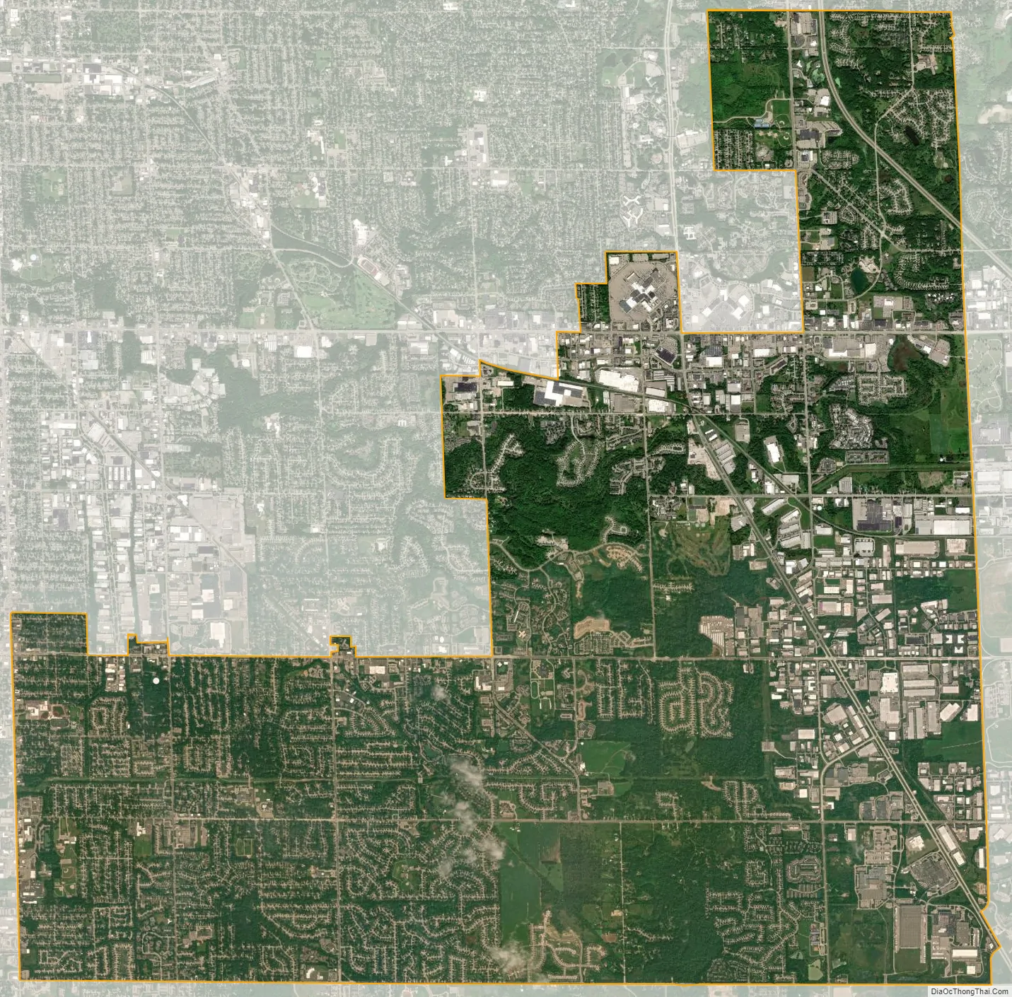
Kentwood city Satellite Map
Geography
According to the United States Census Bureau, the city has a total area of 20.95 square miles (54.26 km), of which, 20.90 square miles (54.13 km) is land and 0.05 square miles (0.13 km) is water. The city is bordered by Wyoming to the west, Grand Rapids and Grand Rapids Township to the north, Cascade Township to the east, and Gaines Township to the south.
Major highways
- I-96 passes through the northeast corner of the city.
- M-11 runs along 28th Street.
- M-37 runs along East Beltline Avenue and Broadmoor Avenue to the south.
Trails
Kentwood has two trails:
- Paul Henry Rail Trail from 44th Street and Kalamazoo to 60th Street and Wing Avenue
- East-West Trail from Division Avenue to Breton Avenue
Climate
The Köppen Climate Classification subtype for this climate is “Dfb” (Warm Summer Continental Climate).
See also
Map of Michigan State and its subdivision:- Alcona
- Alger
- Allegan
- Alpena
- Antrim
- Arenac
- Baraga
- Barry
- Bay
- Benzie
- Berrien
- Branch
- Calhoun
- Cass
- Charlevoix
- Cheboygan
- Chippewa
- Clare
- Clinton
- Crawford
- Delta
- Dickinson
- Eaton
- Emmet
- Genesee
- Gladwin
- Gogebic
- Grand Traverse
- Gratiot
- Hillsdale
- Houghton
- Huron
- Ingham
- Ionia
- Iosco
- Iron
- Isabella
- Jackson
- Kalamazoo
- Kalkaska
- Kent
- Keweenaw
- Lake
- Lake Hurron
- Lake Michigan
- Lake St. Clair
- Lake Superior
- Lapeer
- Leelanau
- Lenawee
- Livingston
- Luce
- Mackinac
- Macomb
- Manistee
- Marquette
- Mason
- Mecosta
- Menominee
- Midland
- Missaukee
- Monroe
- Montcalm
- Montmorency
- Muskegon
- Newaygo
- Oakland
- Oceana
- Ogemaw
- Ontonagon
- Osceola
- Oscoda
- Otsego
- Ottawa
- Presque Isle
- Roscommon
- Saginaw
- Saint Clair
- Saint Joseph
- Sanilac
- Schoolcraft
- Shiawassee
- Tuscola
- Van Buren
- Washtenaw
- Wayne
- Wexford
- Alabama
- Alaska
- Arizona
- Arkansas
- California
- Colorado
- Connecticut
- Delaware
- District of Columbia
- Florida
- Georgia
- Hawaii
- Idaho
- Illinois
- Indiana
- Iowa
- Kansas
- Kentucky
- Louisiana
- Maine
- Maryland
- Massachusetts
- Michigan
- Minnesota
- Mississippi
- Missouri
- Montana
- Nebraska
- Nevada
- New Hampshire
- New Jersey
- New Mexico
- New York
- North Carolina
- North Dakota
- Ohio
- Oklahoma
- Oregon
- Pennsylvania
- Rhode Island
- South Carolina
- South Dakota
- Tennessee
- Texas
- Utah
- Vermont
- Virginia
- Washington
- West Virginia
- Wisconsin
- Wyoming