Plaquemines Parish (/ˈplækɪmɪnz/; French: Paroisse de Plaquemine, Louisiana French: Paroisse des Plaquemines, Spanish: Parroquia de Caquis) is a parish located in the U.S. state of Louisiana. With a population of 23,515 at the 2020 census, the parish seat is Pointe à la Hache and the largest community is Belle Chasse. The parish was formed in 1807.
Plaquemines Parish is part of the New Orleans–Metairie metropolitan statistical area. It was severely damaged in the aftermath of Hurricane Katrina on August 29, 2005, and in hurricane events in 2011 and 2021.
| Name: | Plaquemines Parish |
|---|---|
| FIPS code: | 22-075 |
| State: | Louisiana |
| Founded: | 1807 |
| Named for: | Louisiana French word for persimmons |
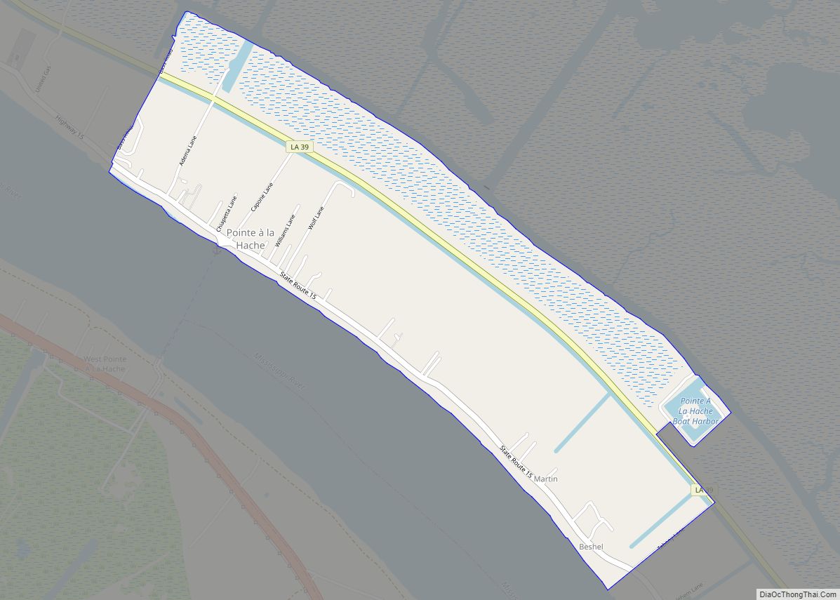
| Seat: | Pointe à la Hache |
| Total Area: | 2,567 sq mi (6,650 km²) |
| Land Area: | 780 sq mi (2,000 km²) |
| Total Population: | 23,515 |
| Population Density: | 30.15/sq mi (11.64/km²) |
| Time zone: | UTC−6 (Central) |
| Summer Time Zone (DST): | UTC−5 (CDT) |
| Website: | plaqueminesparish.com |
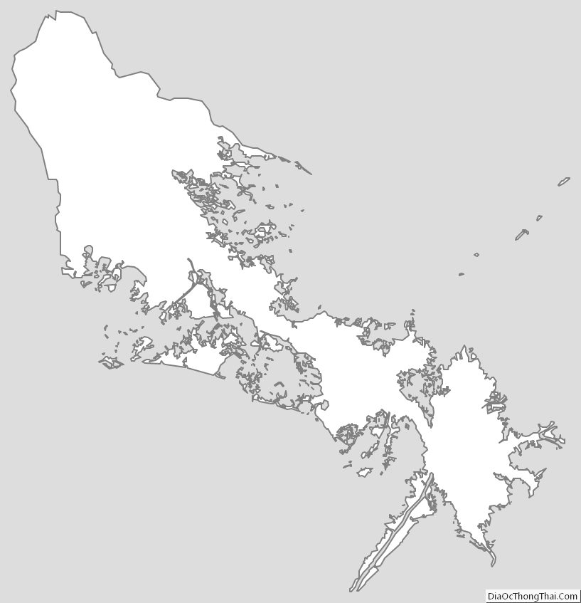
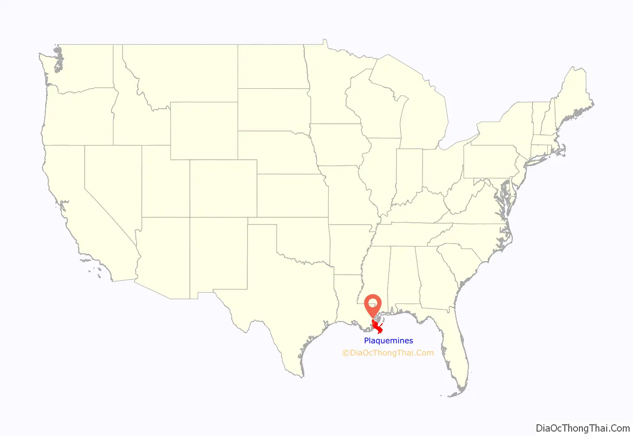
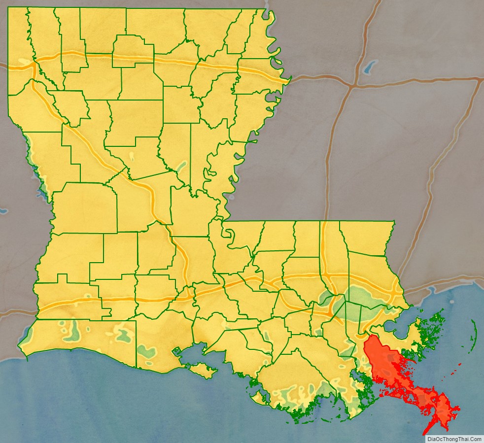
Plaquemines Parish location map. Where is Plaquemines Parish?
History
The name “Plaquemines,” in French Creole, was derived from the Atakapa word piakimin, meaning the local fruit persimmon. The French used it to name a military post they built on the banks of the Mississippi River, as the site was surrounded by numerous persimmon trees. Eventually the name was applied to the entire parish and to a nearby bayou.
The oldest European settlement in the parish was La Balize, where the French built and inhabited a crude fort by 1699 near the mouth of the Mississippi River. The name in French meant “seamark”, a tall structure of wood built as a guide for ships. By 1721 the French built one 62 feet (19 m) high. A surviving map from about 1720 shows the island and fort, and the mouth of the river.
As traffic and trade on the river increased, so did the importance of river pilots who were knowledgeable about the complicated, ever-changing currents and sandbars in the river. They lived at La Balize with their families. The village was destroyed and rebuilt numerous times, but it was abandoned for good after being destroyed by a September 1860 hurricane. The pilots moved upriver and built the settlement they named Pilottown, which reached its peak of population in the 19th century. The river pilots’ expertise continues to be critical, but now they generally live with their families in more populated areas. They stay at Pilottown temporarily for work.
An important historical site is Fort Jackson, built in 1822 as recommended by General Andrew Jackson, hero of the Battle of New Orleans in the War of 1812. In 1861, Fort Jackson served as an important Confederate defense for the city of New Orleans during the Civil War because it was at the mouth of the Mississippi River. The US Army used it as a training base during World War I, 1917–1918.
Plaquemines is one of only two parishes that have kept their same boundaries from the beginning of Louisiana’s parishes in 1807 to today, the other being St. Bernard Parish.
20th century to present
Because Plaquemines Parish encompasses the last 70 miles (110 km) of the Mississippi River before it reaches the Gulf of Mexico, it is the site of several oil refineries, which rely on the shipping lanes for moving their product. The Mississippi River Delta of Plaquemines is also a base for assistance to offshore oil rigs. Plaquemines Parish was the first place in the United States where shippers used a container for cargo in foreign trade. The area is also known for having the southernmost point in Louisiana, at just under 29 degrees north.
The August 1901 Hurricane caused damage, including 4 feet of water in Buras.
The Great Hurricane of 1915 devastated much of the parish, with multiple levee breaches on both sides of the Mississippi, a 12-foot storm surge, and hundreds of deaths. Homelessness was widespread, and many people were reduced to starvation until charitable aid arrived. The old Parish Courthouse in Pointe à la Hache was among the many buildings destroyed in the storm, but a new one was completed within the year.
In the early 1900s, Plaquemines was an exporter of citrus. Farmers used the railroads and the Mississippi to ship the large annual harvest to markets. Commercial fisheries, especially for oysters, have been important in the parish economy.
From 1924 to 1969, Plaquemines and St. Bernard parishes were effectively the domain of the Democratic political boss Leander Perez, who established a strong hold over the area. He was notorious for fixing elections and enforcing strict racial segregation. Upon his death, his sons Leander Perez, Jr., and Chalin O. Perez were elected as the dominant political figures of the parish as district attorney and parish president, respectively. Interpersonal feuding weakened the family’s hold on power. After another decade, by 1980 political opponents had begun to win local elections.
In 1969, Hurricane Camille devastated portions of Plaquemines Parish. Storm surge over 10 feet, winds over 100 miles per hour, and peak pressure at 941 hPa devastated Buras, Louisiana, Venice, Louisiana, and many more towns and cities.
During the Great Mississippi Flood of 1927, city and state leaders used dynamite to breach a levee at Caernarvon, thirteen miles (19 km) below Canal Street, in order to save the city of New Orleans from flooding. This action resulted in the flooding of much of the less-populated St. Bernard and Plaquemines parishes, causing widespread destruction to agriculture and housing.
The Civil Rights struggle for African-Americans to become registered voters in Plaquemines Parish begin in October 1946, under the guidance of Dr. Rev. Percy Murphy Griffin. With the aid of Attorneys Earl Amedee and Louis Berry from New Orleans, Griffin and twenty-six African-Americans from Plaquemines Parish organized the Plaquemines Parish Civil and Political Organization, Inc., to fight racial barriers established by Perez. In the summer of 1953, the group organized a voter registration drive for African Americans. In 1954, Irene Griffin became the first black woman to register to vote in the parish. The organization filed class-action suits against Leander Perez and in 1953, several African-Americans became registered voters in Plaquemines Parish. In 1966, the organization led the fight to integrate public schools. The movement also worked to get Seymourville and another small community included within the parish boundaries; the city had sought to exclude these majority-black communities to prevent black votes from being counted. The Civil Rights Act of 1964 ended legal segregation, and the Voting Rights Act of 1965 authorized federal oversight and enforcement of voter registration and elections in jurisdictions with historic under-representation of minority elements of the population. After 1965, African Americans in Louisiana began full participation in Louisiana politics.
In 1965, Hurricane Betsy flooded many buildings, including the parish courthouse, and caused nine deaths. Leander Perez sealed off the parish to control the distribution of state assistance.
It is estimated that without significant human intervention, Plaquemines Parish will lose 55% of its current land to rising sea levels over the next 50 years.
Hurricane Katrina struck Louisiana on August 29, 2005, resulting in one of the worst disasters in United States history; it severely damaged all of southeast Louisiana. Martial law was not declared in Plaquemines, contrary to many media reports, as no such term exists in Louisiana state law. No place escaped without some damage, while most of Plaquemines, Orleans, and neighboring St. Bernard parishes were severely affected. The towns of Pointe à la Hache, Port Sulphur, Buras, Triumph, Empire, Boothville, Phoenix, and Venice suffered catastrophic damage.
Amid heavy rains accompanied by hurricane-force winds in excess of 120 mph (190 km/h) at initial landfall (with a Category 5 storm surge), the levees failed and broke. The storm surge which flowed in was more than 20 feet (6.1 m) high. Although a majority of the populace had complied with mandatory state evacuation orders, some did not, possibly because they were not able to. At least three people died.
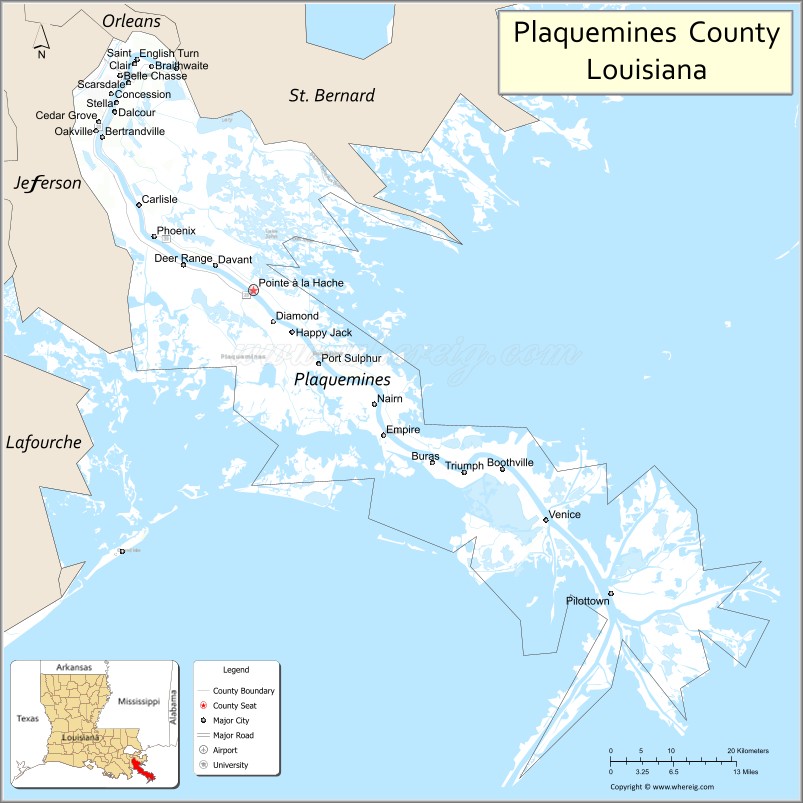
Plaquemines Parish Road Map
Geography
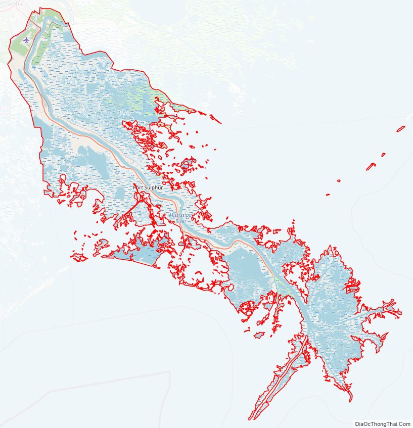
According to the U.S. Census Bureau, the parish has a total area of 2,567 square miles (6,650 km), of which 780 square miles (2,000 km) is land and 1,787 square miles (4,630 km) (70%) is water. It is the largest parish by total area in Louisiana. Plaquemines Parish is bordered to the south and southeast by the Gulf of Mexico.
Major highways
- Louisiana Highway 23
- Louisiana Highway 39
Adjacent parishes and features
- Orleans Parish (north)
- St. Bernard Parish (northeast)
- Jefferson Parish (west)
National protected areas
- Breton National Wildlife Refuge (part)
- Delta National Wildlife Refuge
Historic sites
The parish includes three United States National Historic Landmarks:
- Fort De La Boulaye Site,
- Fort Jackson, and
- Fort St. Philip.
The parish has five other sites listed on the National Register of Historic Places, including Woodland Plantation, which has been depicted on the label of Southern Comfort liqueur since the 1930s. Woodland Plantation is an antebellum mansion located in West Pointe à la Hache, on the west bank of the Mississippi River. It is now operated as a bed and breakfast.
Communities
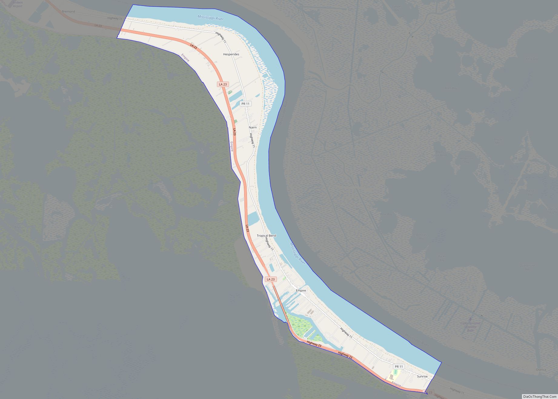
There are no incorporated areas within Plaquemines Parish. Communities not listed below include Happy Jack, Myrtle Grove, Nairn, Naomi, Oakville, and Scarsdale.
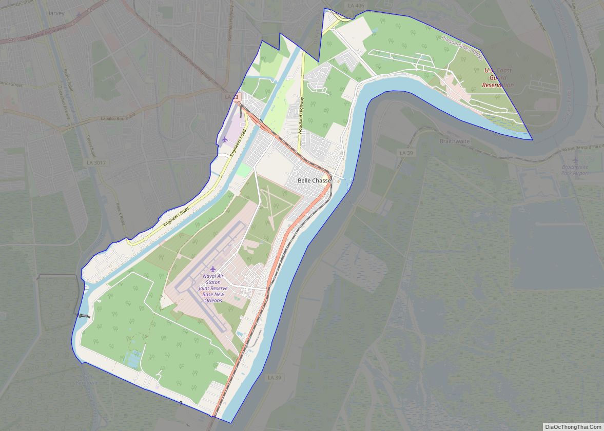
- Belle Chasse
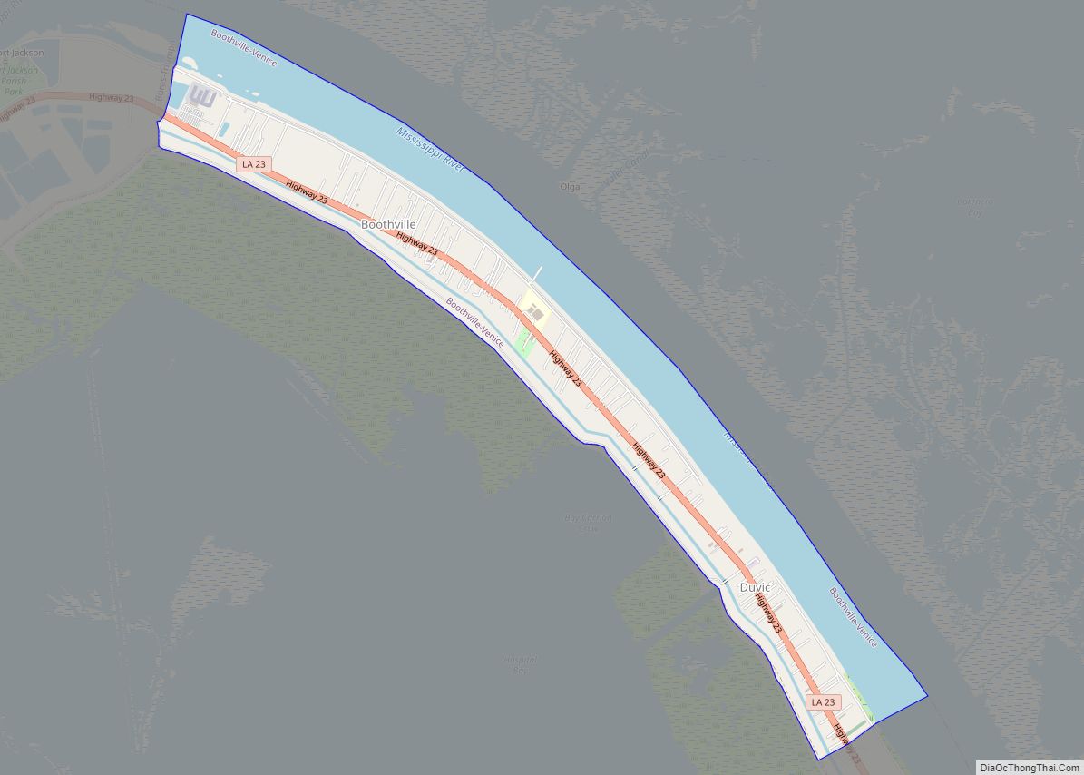
- Boothville
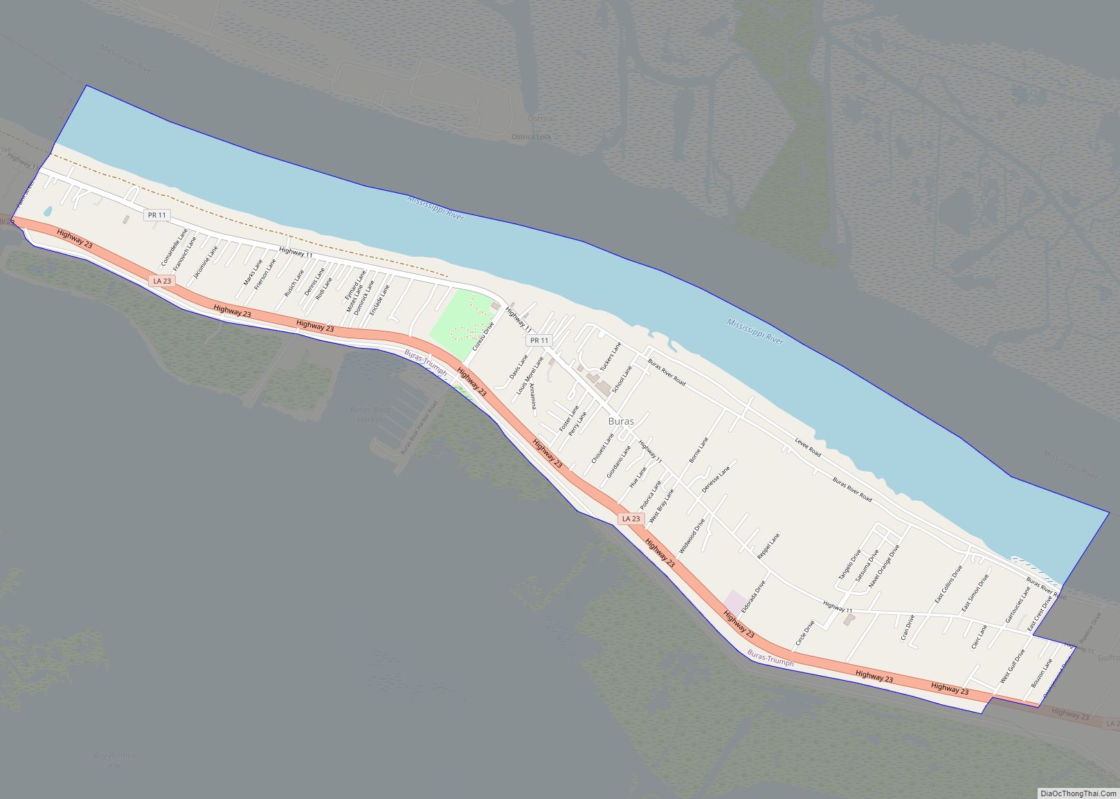
- Buras
- Empire
- New Orleans Station
- Pointe à la Hache (parish seat)
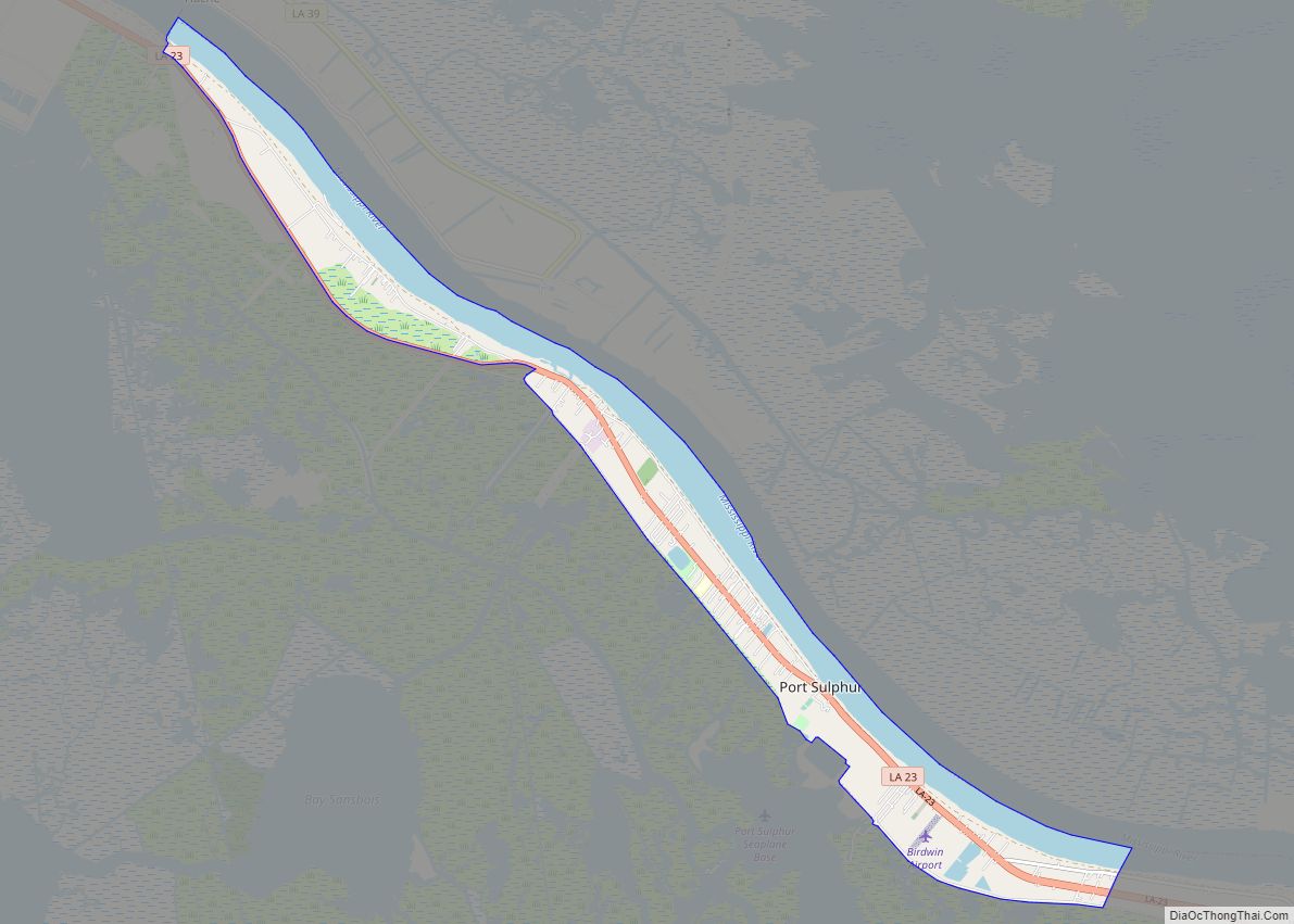
- Port Sulphur
- Triumph
- Venice
- Bohemia
- Braithwaite
- Carlisle
- Dalcour
- Davant
- Duvic
- Grand Ecaille
- Ironton
- Jesuit Bend
- Orchid
- Phoenix
- Pilottown
- Port Eads
- West Pointe à la Hache
- Boothville-Venice
- Buras-Triumph
- Burrwood
- La Balize
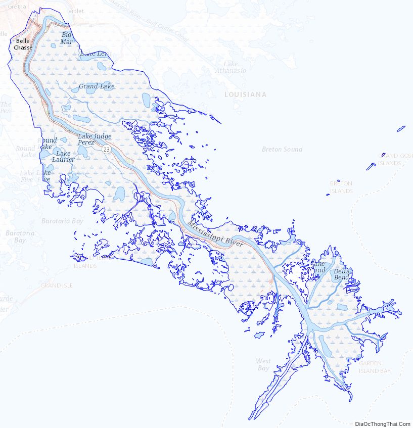
Plaquemines Parish Topographic Map
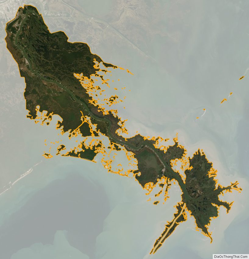
Plaquemines Parish Satellite Map
Plaquemines Parish Outline Map