Buras is a census-designated place (CDP) in Plaquemines Parish, Louisiana, United States. Its population was 945 at the 2010 census, and 1,109 in 2020. Prior to the 2010 census, Buras was considered to be part of the Buras-Triumph CDP.
| Name: | Buras CDP |
|---|---|
| LSAD Code: | 57 |
| LSAD Description: | CDP (suffix) |
| State: | Louisiana |
| County: | Plaquemines Parish |
| Elevation: | 0 ft (0 m) |
| Total Area: | 3.35 sq mi (8.67 km²) |
| Land Area: | 2.30 sq mi (5.95 km²) |
| Water Area: | 1.05 sq mi (2.72 km²) |
| Total Population: | 1,109 |
| Population Density: | 482.59/sq mi (186.35/km²) |
| ZIP code: | 70041 |
| Area code: | 504 |
| FIPS code: | 2210985 |
| GNISfeature ID: | 558181 |
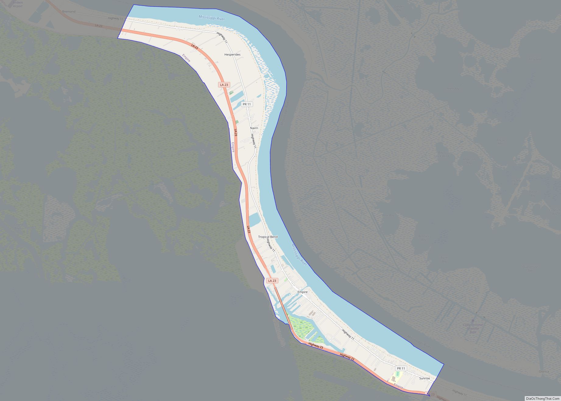
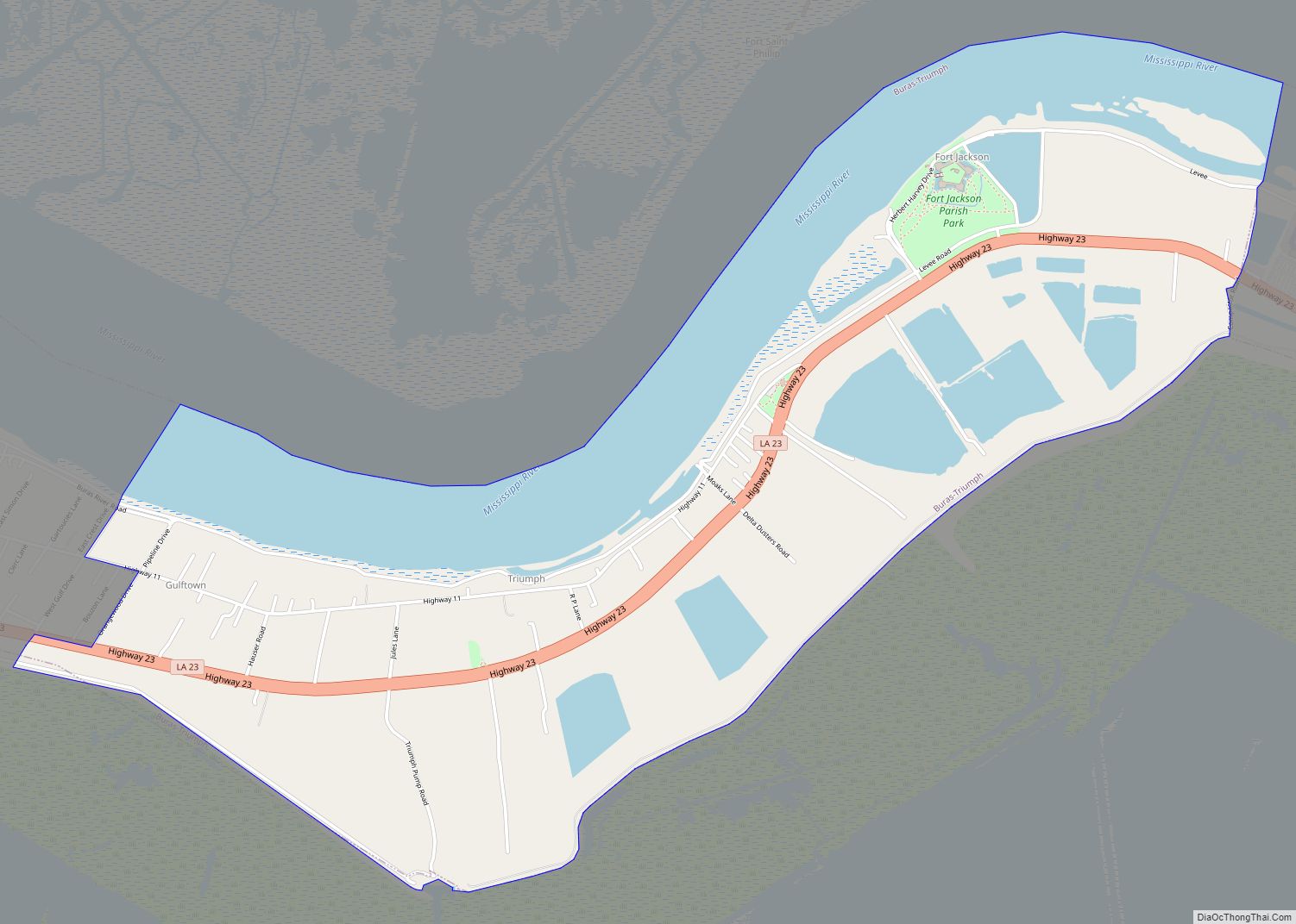
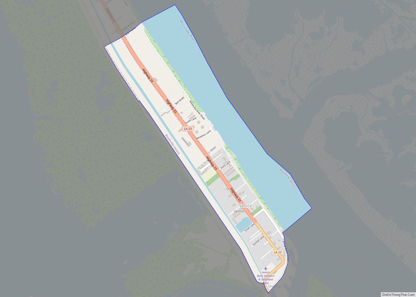
Online Interactive Map
Click on ![]() to view map in "full screen" mode.
to view map in "full screen" mode.
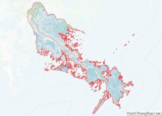
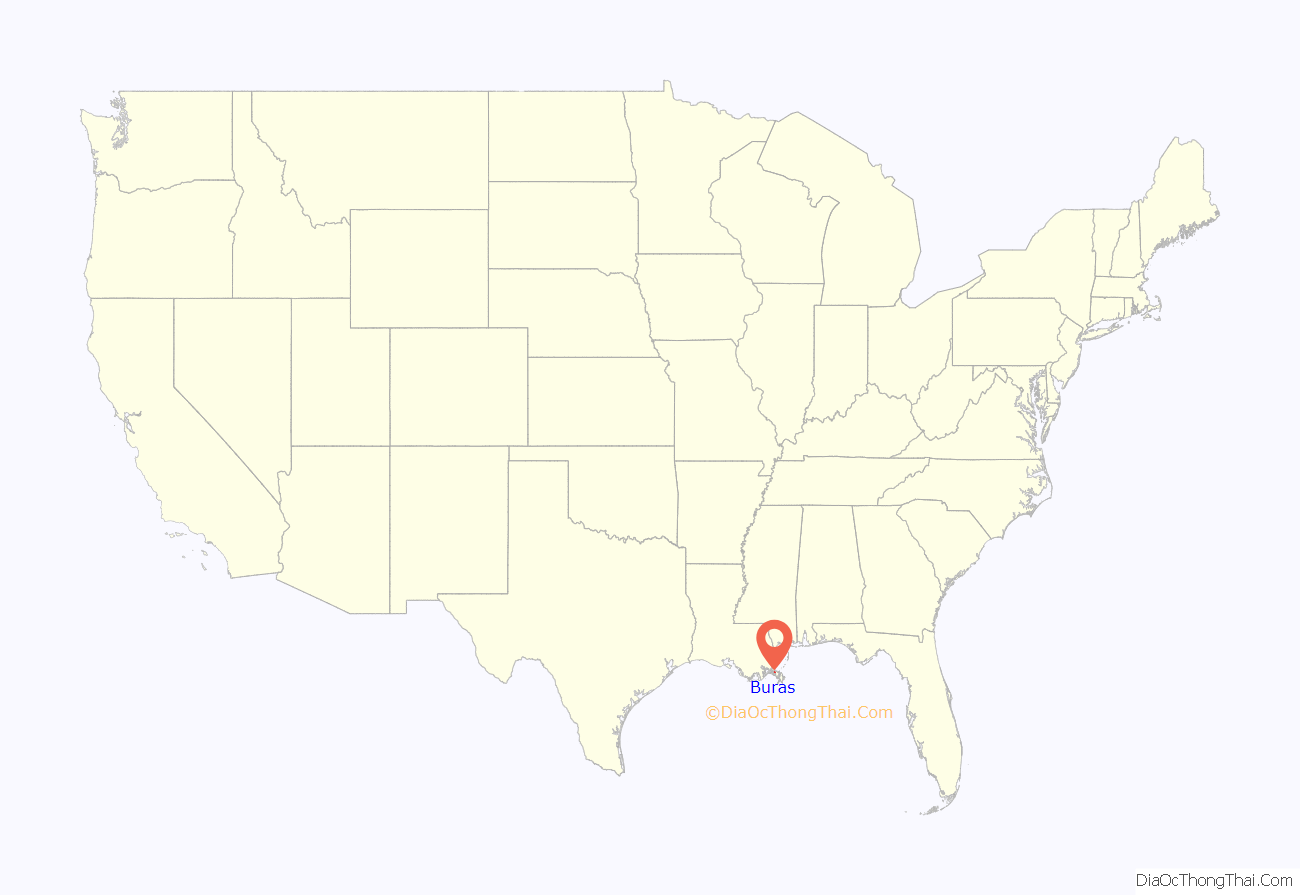
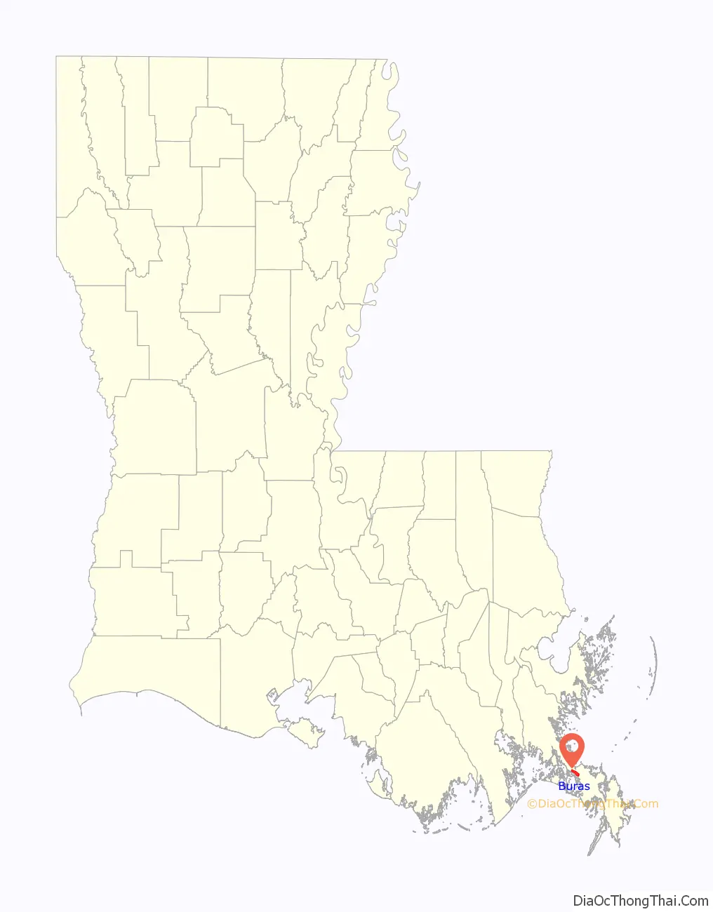
Buras location map. Where is Buras CDP?
History
In November 2006, Jeré Longman of The New York Times wrote that “almost no evidence of recovery exist[ed]” in the post-Hurricane Katrina period. In December 2007, Longman reported that there was still “little sign of recovery” in Buras. The town was founded in the 1840s; 20 years later, it was the site of Civil War battles at Forts Jackson and St. Philip. Today, the Buras area is known for hauling in much of the state’s oysters.
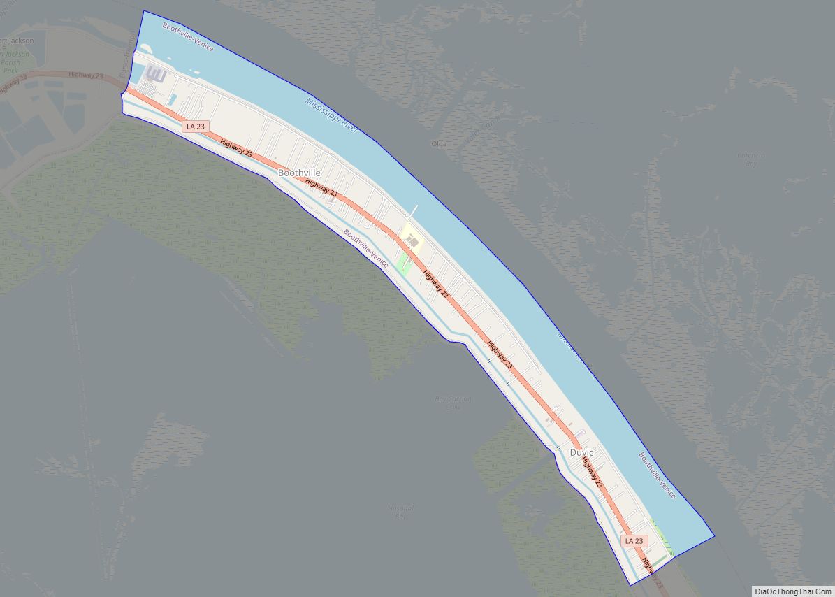
Buras Road Map
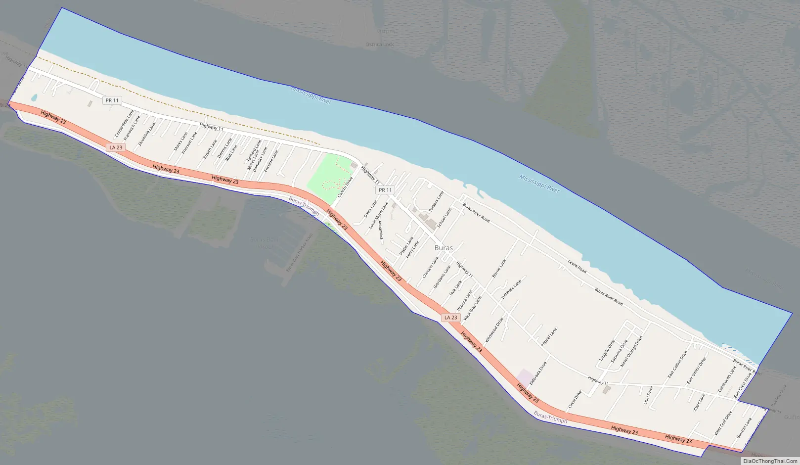
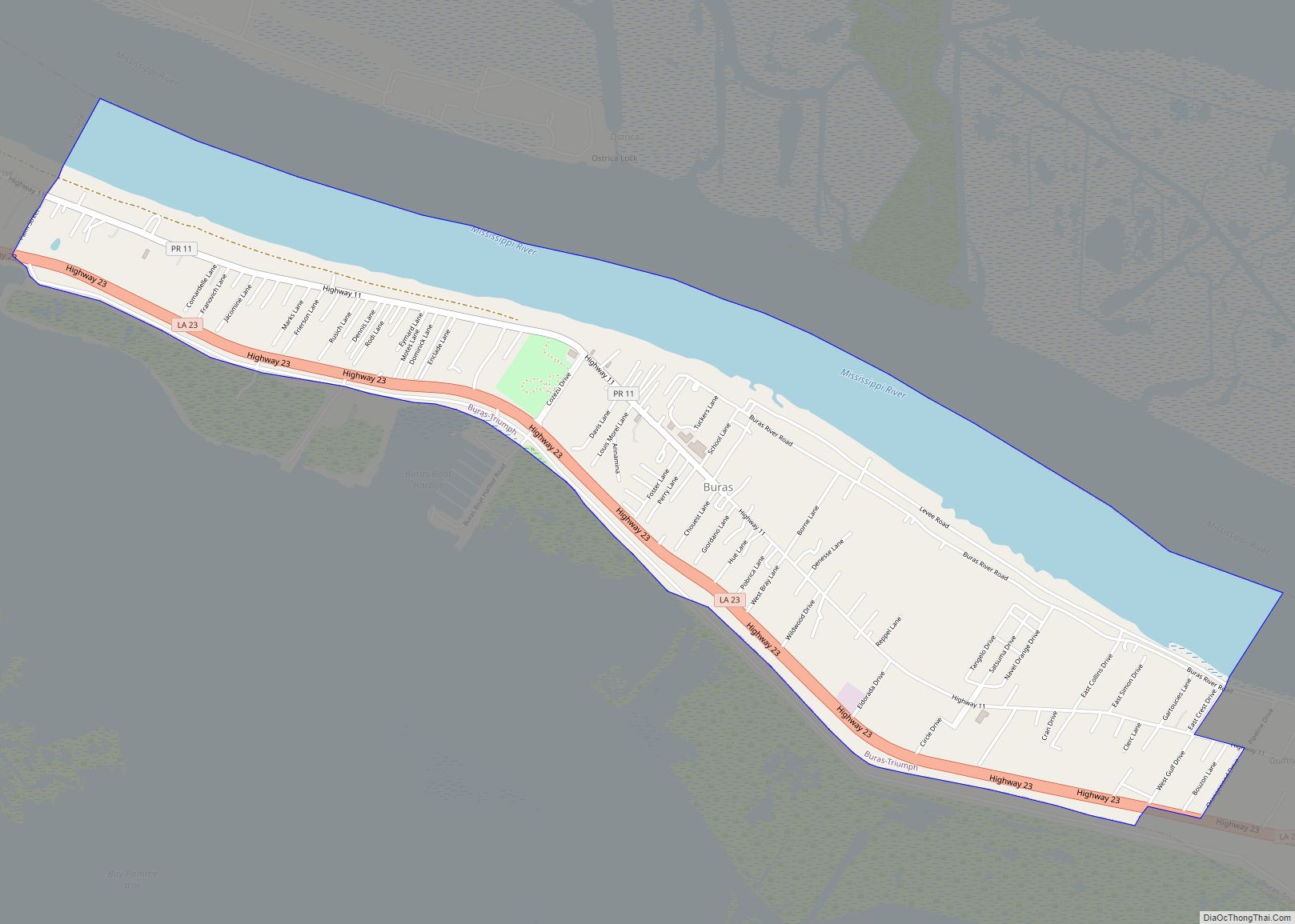
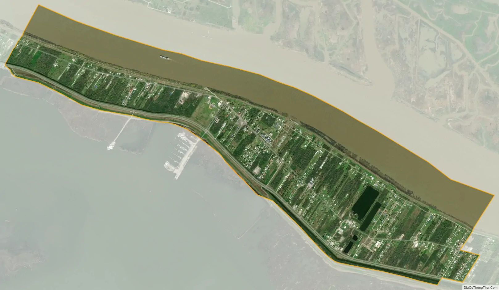
Buras city Satellite Map
See also
Map of Louisiana State and its subdivision:- Acadia
- Allen
- Ascension
- Assumption
- Avoyelles
- Beauregard
- Bienville
- Bossier
- Caddo
- Calcasieu
- Caldwell
- Cameron
- Catahoula
- Claiborne
- Concordia
- De Soto
- East Baton Rouge
- East Carroll
- East Feliciana
- Evangeline
- Franklin
- Grant
- Iberia
- Iberville
- Jackson
- Jefferson
- Jefferson Davis
- La Salle
- Lafayette
- Lafourche
- Lincoln
- Livingston
- Madison
- Morehouse
- Natchitoches
- Orleans
- Ouachita
- Plaquemines
- Pointe Coupee
- Rapides
- Red River
- Richland
- Sabine
- Saint Bernard
- Saint Charles
- Saint Helena
- Saint James
- Saint John the Baptist
- Saint Landry
- Saint Martin
- Saint Mary
- Saint Tammany
- Tangipahoa
- Tensas
- Terrebonne
- Union
- Vermilion
- Vernon
- Washington
- Webster
- West Baton Rouge
- West Carroll
- West Feliciana
- Winn
- Alabama
- Alaska
- Arizona
- Arkansas
- California
- Colorado
- Connecticut
- Delaware
- District of Columbia
- Florida
- Georgia
- Hawaii
- Idaho
- Illinois
- Indiana
- Iowa
- Kansas
- Kentucky
- Louisiana
- Maine
- Maryland
- Massachusetts
- Michigan
- Minnesota
- Mississippi
- Missouri
- Montana
- Nebraska
- Nevada
- New Hampshire
- New Jersey
- New Mexico
- New York
- North Carolina
- North Dakota
- Ohio
- Oklahoma
- Oregon
- Pennsylvania
- Rhode Island
- South Carolina
- South Dakota
- Tennessee
- Texas
- Utah
- Vermont
- Virginia
- Washington
- West Virginia
- Wisconsin
- Wyoming