Boothville is an unincorporated community and census-designated place in Plaquemines Parish, Louisiana, United States. Its population was 854 as of the 2010 census, and 718 at the 2020 U.S. census.
Jeré Longman of The New York Times stated that before Hurricane Katrina in 2005 the community served as “a hub of the fishing and oil and gas industries.”
| Name: | Boothville CDP |
|---|---|
| LSAD Code: | 57 |
| LSAD Description: | CDP (suffix) |
| State: | Louisiana |
| County: | Plaquemines Parish |
| Elevation: | −3 ft (−1 m) |
| Total Area: | 3.723 sq mi (9.64 km²) |
| Land Area: | 2.149 sq mi (5.57 km²) |
| Water Area: | 1.574 sq mi (4.08 km²) |
| Total Population: | 718 |
| Population Density: | 190/sq mi (74/km²) |
| ZIP code: | 70038 |
| Area code: | 504 |
| FIPS code: | 2208710 |
| GNISfeature ID: | 533330 |
Online Interactive Map
Click on ![]() to view map in "full screen" mode.
to view map in "full screen" mode.
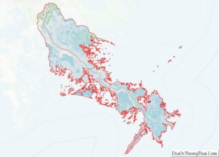
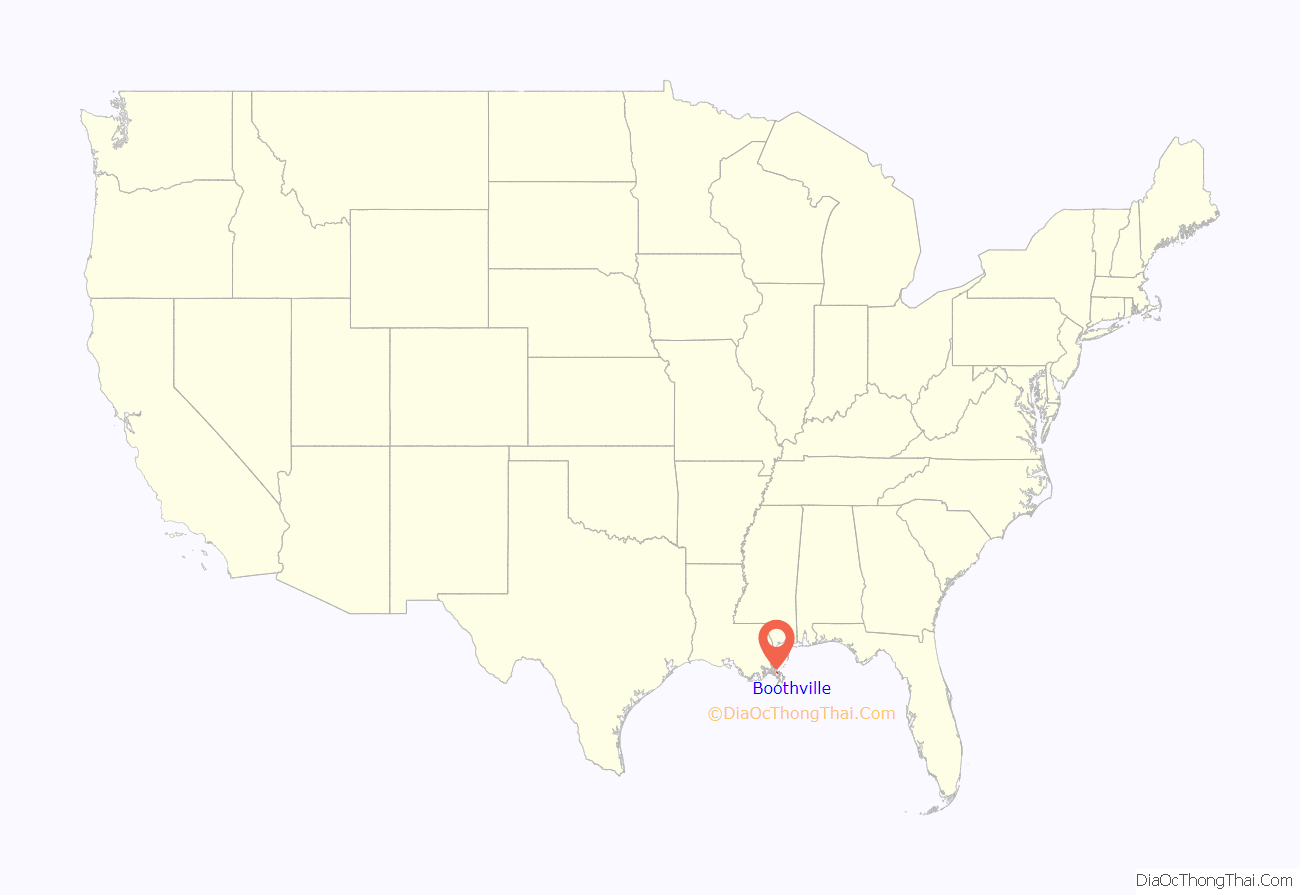
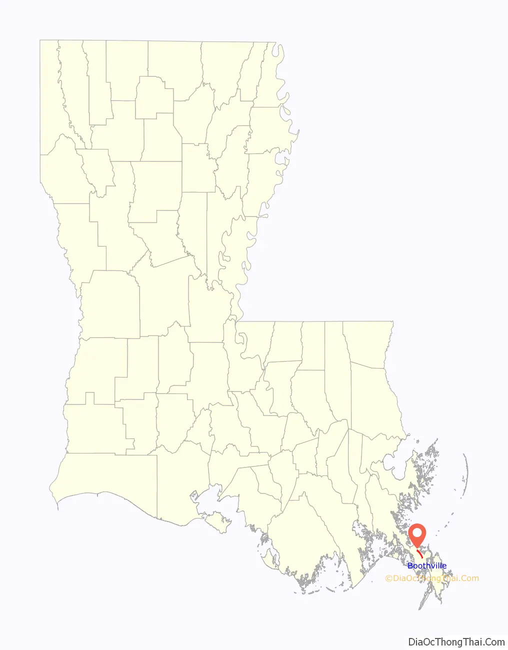
Boothville location map. Where is Boothville CDP?
History
Boothville was named for Colonel Booth, a landowner.
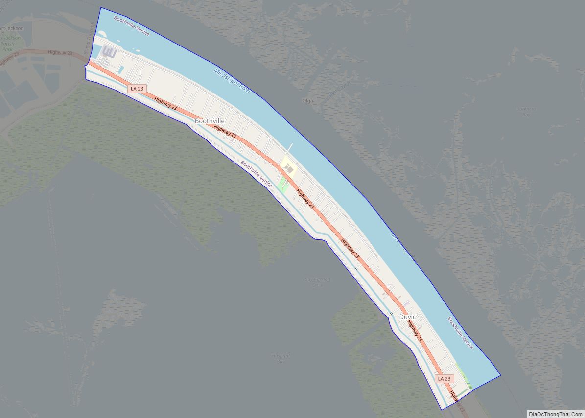
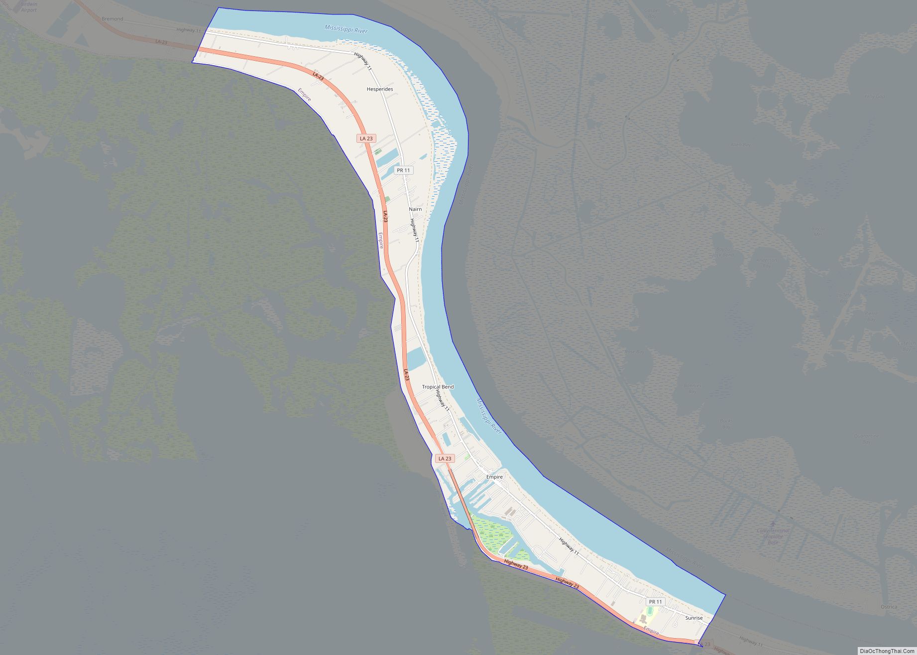
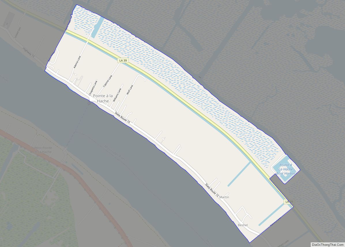
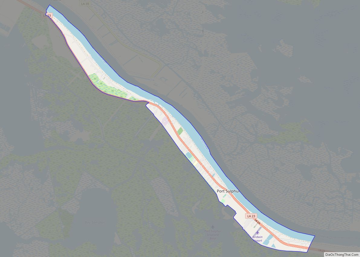
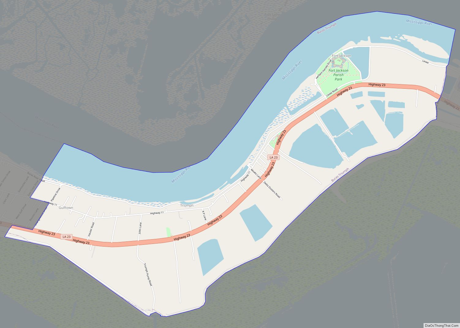
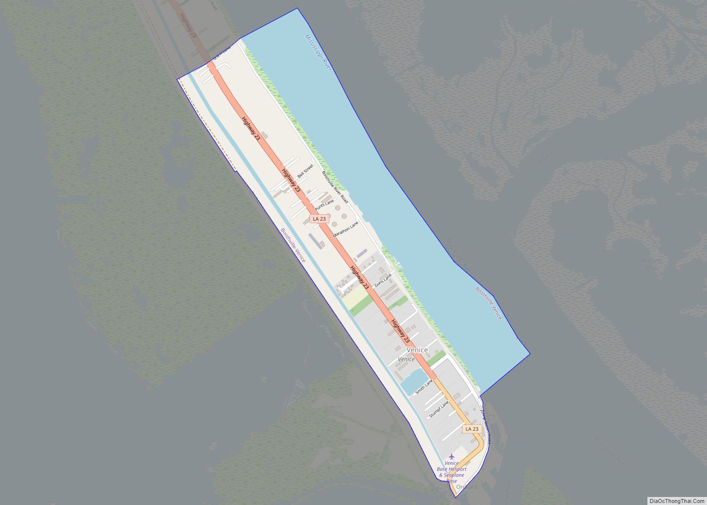
Boothville Road Map
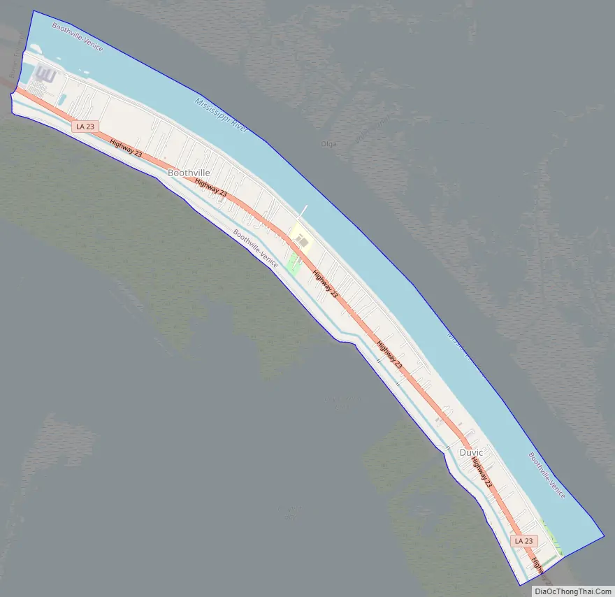
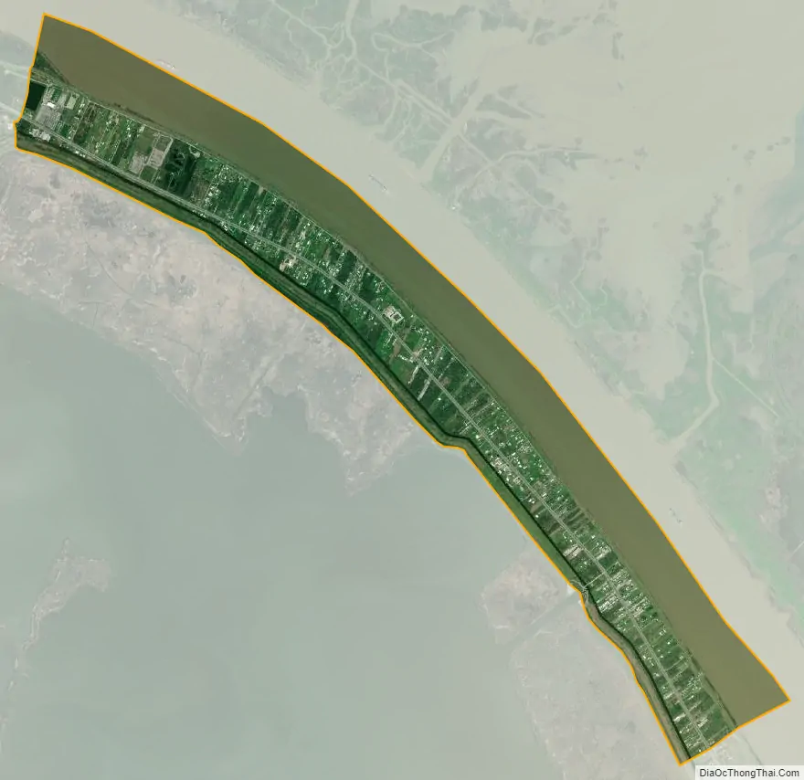
Boothville city Satellite Map
See also
Map of Louisiana State and its subdivision:- Acadia
- Allen
- Ascension
- Assumption
- Avoyelles
- Beauregard
- Bienville
- Bossier
- Caddo
- Calcasieu
- Caldwell
- Cameron
- Catahoula
- Claiborne
- Concordia
- De Soto
- East Baton Rouge
- East Carroll
- East Feliciana
- Evangeline
- Franklin
- Grant
- Iberia
- Iberville
- Jackson
- Jefferson
- Jefferson Davis
- La Salle
- Lafayette
- Lafourche
- Lincoln
- Livingston
- Madison
- Morehouse
- Natchitoches
- Orleans
- Ouachita
- Plaquemines
- Pointe Coupee
- Rapides
- Red River
- Richland
- Sabine
- Saint Bernard
- Saint Charles
- Saint Helena
- Saint James
- Saint John the Baptist
- Saint Landry
- Saint Martin
- Saint Mary
- Saint Tammany
- Tangipahoa
- Tensas
- Terrebonne
- Union
- Vermilion
- Vernon
- Washington
- Webster
- West Baton Rouge
- West Carroll
- West Feliciana
- Winn
- Alabama
- Alaska
- Arizona
- Arkansas
- California
- Colorado
- Connecticut
- Delaware
- District of Columbia
- Florida
- Georgia
- Hawaii
- Idaho
- Illinois
- Indiana
- Iowa
- Kansas
- Kentucky
- Louisiana
- Maine
- Maryland
- Massachusetts
- Michigan
- Minnesota
- Mississippi
- Missouri
- Montana
- Nebraska
- Nevada
- New Hampshire
- New Jersey
- New Mexico
- New York
- North Carolina
- North Dakota
- Ohio
- Oklahoma
- Oregon
- Pennsylvania
- Rhode Island
- South Carolina
- South Dakota
- Tennessee
- Texas
- Utah
- Vermont
- Virginia
- Washington
- West Virginia
- Wisconsin
- Wyoming