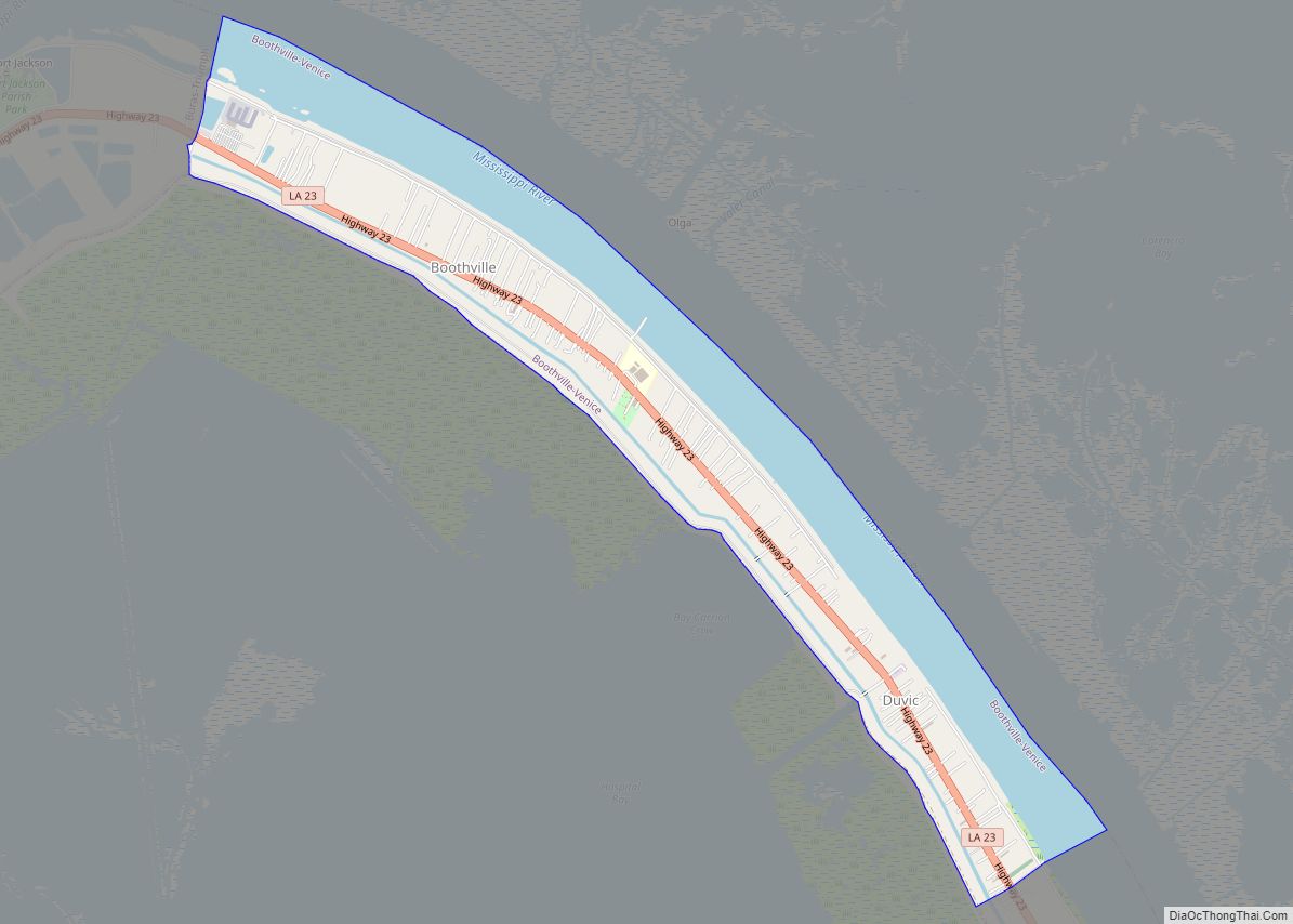
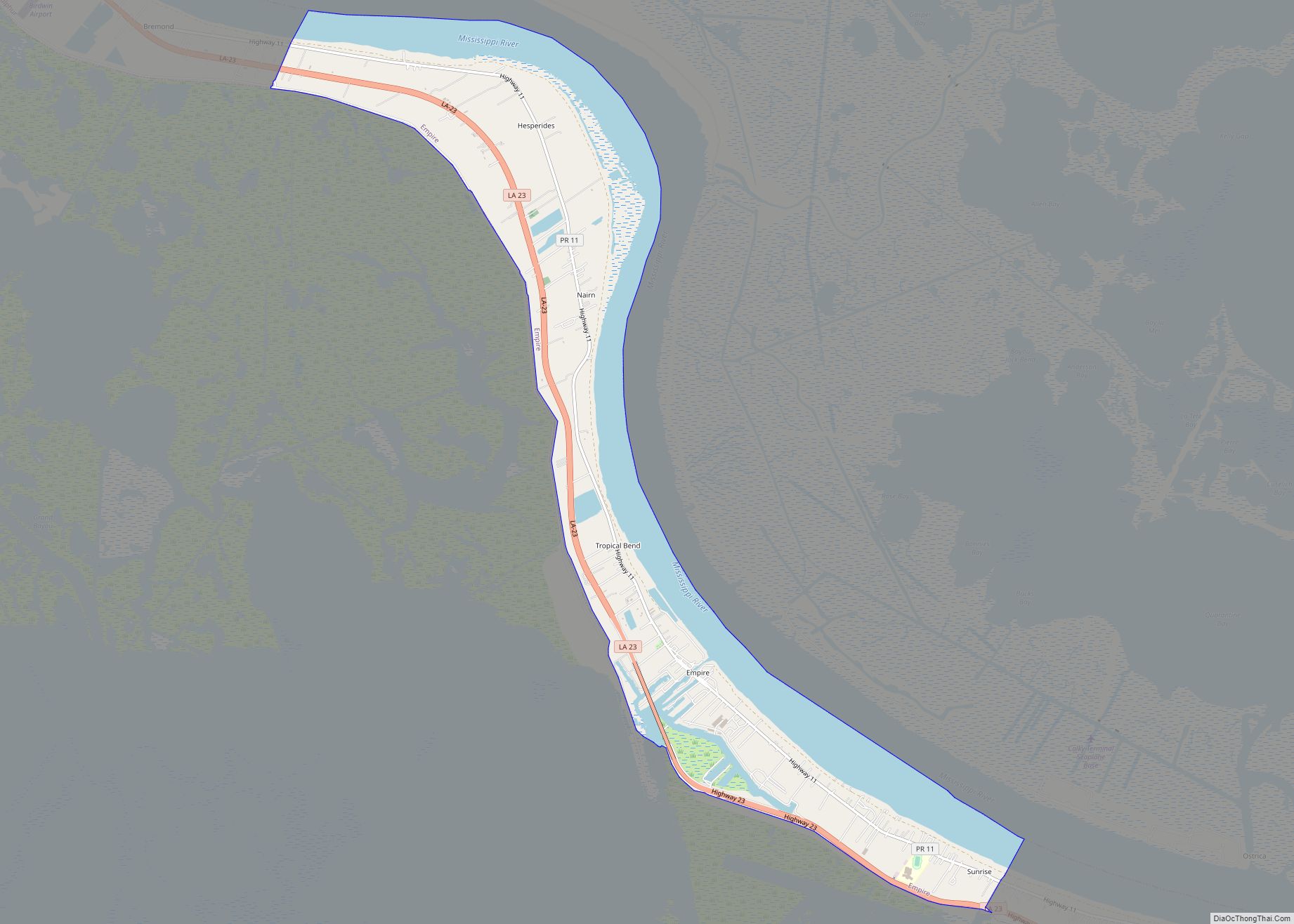
Venice is an unincorporated community and census-designated place in Plaquemines Parish, Louisiana, United States. As of the 2020 census, its population was 162. It is 77 miles (124 km) south of New Orleans on the west bank of the Mississippi River at 29°16′37″N 89°21′17″W / 29.27694°N 89.35472°W / 29.27694; -89.35472. It is the last community down the Mississippi accessible by automobile, and it is the southern terminus of the Great River Road. This has earned the town the nickname “The end of the world.” The ZIP code for Venice is 70091.
In 2001, the combined population for Venice and the neighboring communities of Orchard (often considered a part of Venice) and Boothville, Louisiana, was about 2,740 people, with about 975 families. About 460 of those people lived in Venice.
Venice has a diverse variety of fish. It is known as the starting point for many doing offshore fishing, who then head to Port Eads. Its main offshore rival is nearby Grand Isle.
| Name: | Venice CDP |
|---|---|
| LSAD Code: | 57 |
| LSAD Description: | CDP (suffix) |
| State: | Louisiana |
| County: | Plaquemines Parish |
| Elevation: | 0 ft (0 m) |
| Total Area: | 1.63 sq mi (4.22 km²) |
| Land Area: | 1.00 sq mi (2.60 km²) |
| Water Area: | 0.63 sq mi (1.62 km²) |
| Total Population: | 162 |
| Population Density: | 161.52/sq mi (62.37/km²) |
| ZIP code: | 70091 |
| Area code: | 504 |
| FIPS code: | 2278015 |
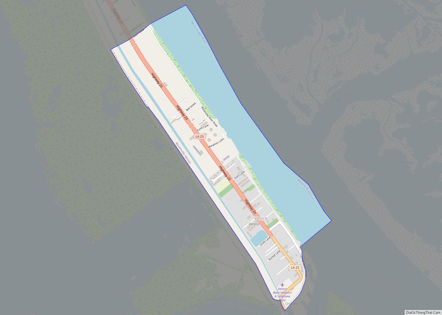
Online Interactive Map
Click on ![]() to view map in "full screen" mode.
to view map in "full screen" mode.
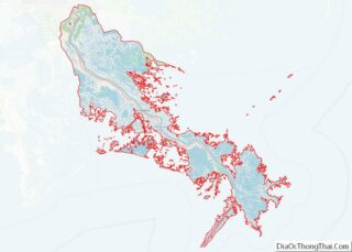
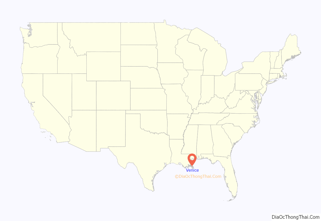
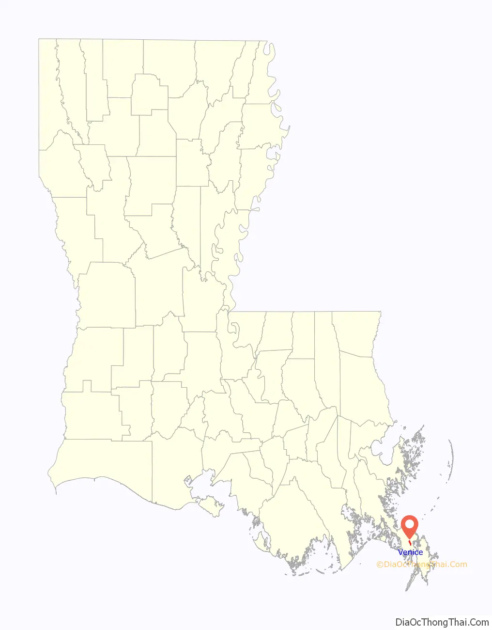
Venice location map. Where is Venice CDP?
History
In 1969, Venice was almost completely destroyed by Hurricane Camille. The pressure fell below 950 hPa, with winds over 100 miles per hour. The community would be devastated again 36 years later by Hurricane Katrina.
In 2000, a deck hand on a shrimp boat was accused of the murder of his captain, whose body was discovered a few days after a storm on the Gulf of Mexico. The media, including newspapers in the city, discovered that the man had been coerced into making a false confession, and he was eventually acquitted.
Venice was again almost completely destroyed by Hurricane Katrina in 2005. Since then, significant reconstruction, reopening, and reoccupation has taken place. The high bridge leading to Venice was not destroyed during the hurricane.
In late April 2010, Venice faced an environmental disaster when oil from the Deepwater Horizon oil spill began washing ashore in the community.
Venice Road Map
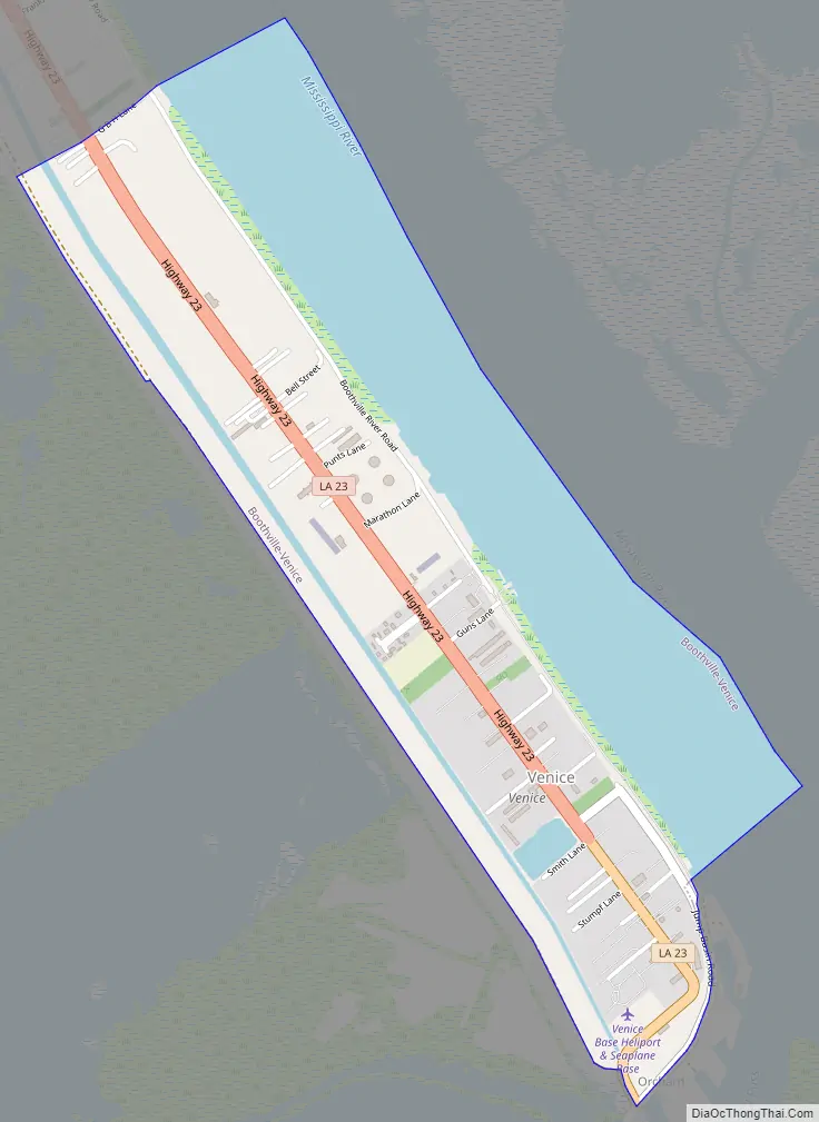
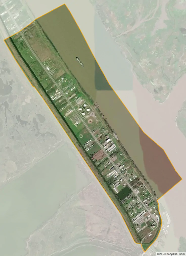
Venice city Satellite Map
Geography
Venice is located along the west bank of the Mississippi River at 29°16′37″N, 89°21′17″W. It has an area of 1.628 miles (2.620 km), of which 1.003 miles (1.614 km) is land and 0.625 miles (1.006 km) is water.
See also
Map of Louisiana State and its subdivision:- Acadia
- Allen
- Ascension
- Assumption
- Avoyelles
- Beauregard
- Bienville
- Bossier
- Caddo
- Calcasieu
- Caldwell
- Cameron
- Catahoula
- Claiborne
- Concordia
- De Soto
- East Baton Rouge
- East Carroll
- East Feliciana
- Evangeline
- Franklin
- Grant
- Iberia
- Iberville
- Jackson
- Jefferson
- Jefferson Davis
- La Salle
- Lafayette
- Lafourche
- Lincoln
- Livingston
- Madison
- Morehouse
- Natchitoches
- Orleans
- Ouachita
- Plaquemines
- Pointe Coupee
- Rapides
- Red River
- Richland
- Sabine
- Saint Bernard
- Saint Charles
- Saint Helena
- Saint James
- Saint John the Baptist
- Saint Landry
- Saint Martin
- Saint Mary
- Saint Tammany
- Tangipahoa
- Tensas
- Terrebonne
- Union
- Vermilion
- Vernon
- Washington
- Webster
- West Baton Rouge
- West Carroll
- West Feliciana
- Winn
- Alabama
- Alaska
- Arizona
- Arkansas
- California
- Colorado
- Connecticut
- Delaware
- District of Columbia
- Florida
- Georgia
- Hawaii
- Idaho
- Illinois
- Indiana
- Iowa
- Kansas
- Kentucky
- Louisiana
- Maine
- Maryland
- Massachusetts
- Michigan
- Minnesota
- Mississippi
- Missouri
- Montana
- Nebraska
- Nevada
- New Hampshire
- New Jersey
- New Mexico
- New York
- North Carolina
- North Dakota
- Ohio
- Oklahoma
- Oregon
- Pennsylvania
- Rhode Island
- South Carolina
- South Dakota
- Tennessee
- Texas
- Utah
- Vermont
- Virginia
- Washington
- West Virginia
- Wisconsin
- Wyoming