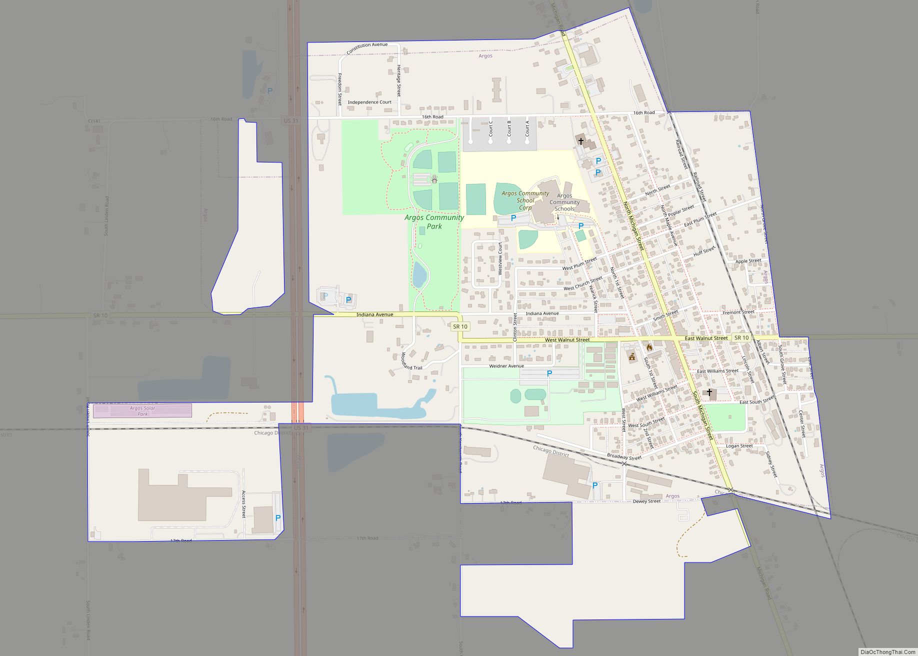
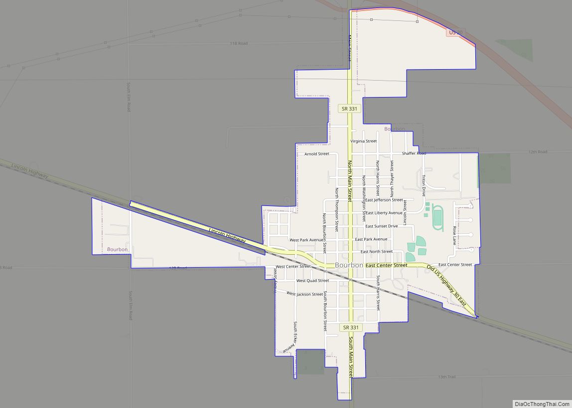
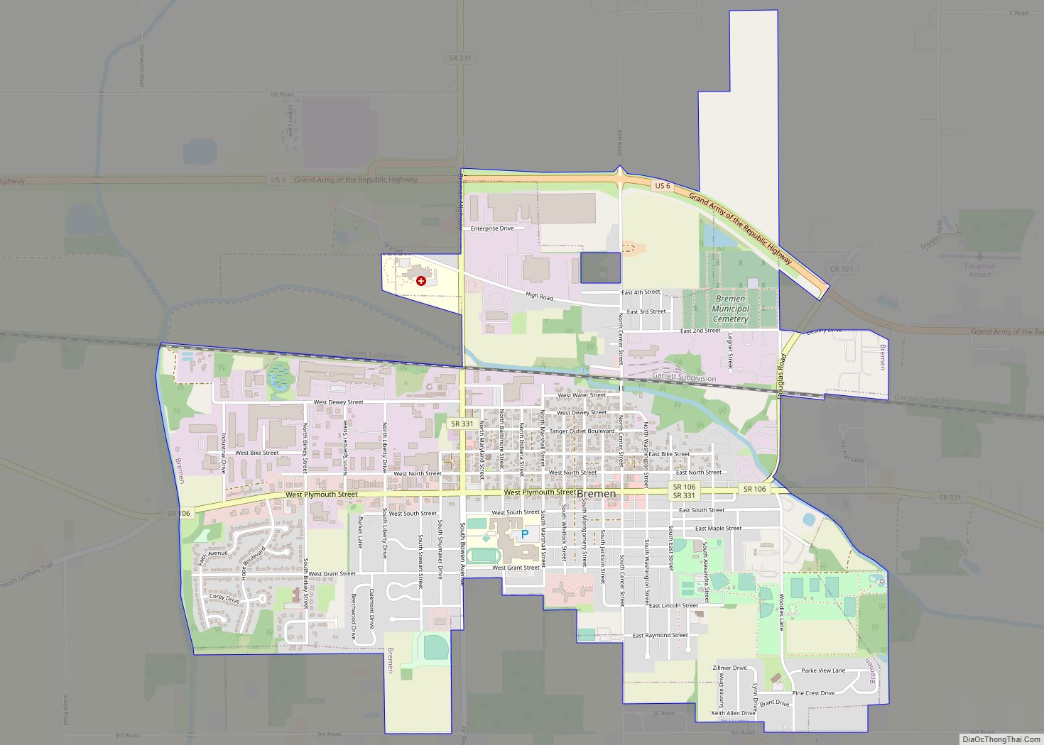
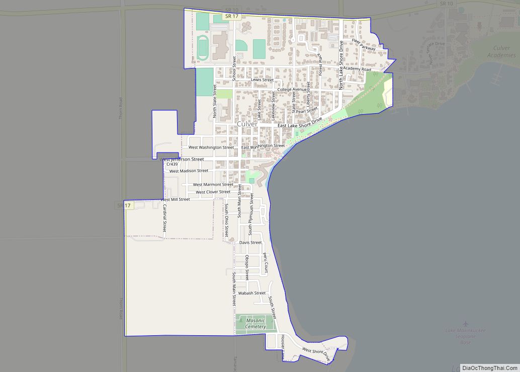
Marshall County is a county in the U.S. state of Indiana. Census 2020 recorded the population at 46,095. The county seat (and only city) is Plymouth.
| Name: | Marshall County |
|---|---|
| FIPS code: | 18-099 |
| State: | Indiana |
| Founded: | 7 February 1835 (authorized) 1836 (organized) |
| Named for: | John Marshall |
| Seat: | Plymouth |
| Largest city: | Plymouth |
| Total Area: | 449.74 sq mi (1,164.8 km²) |
| Land Area: | 443.63 sq mi (1,149.0 km²) |
| Population Density: | 104.2/sq mi (40.2/km²) |
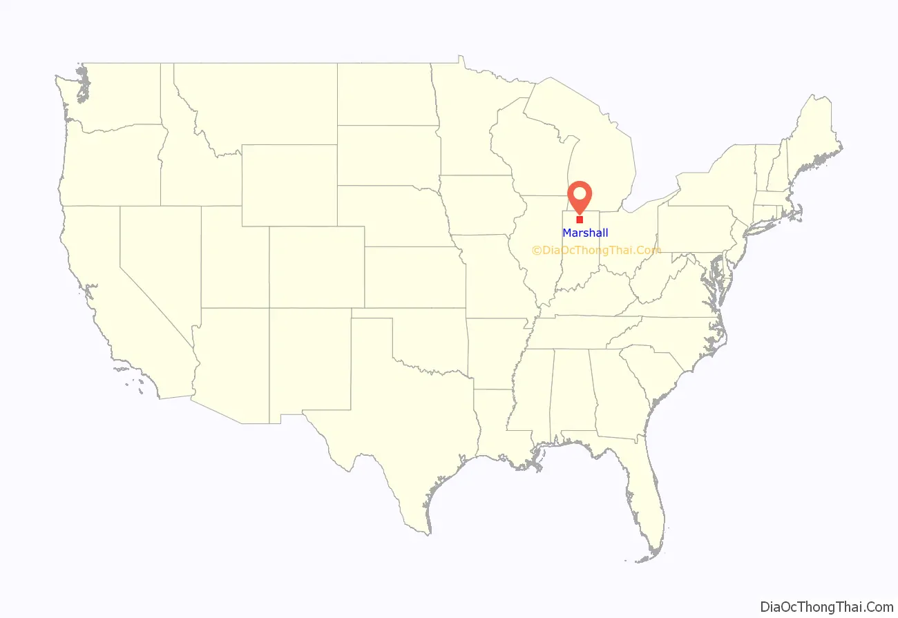
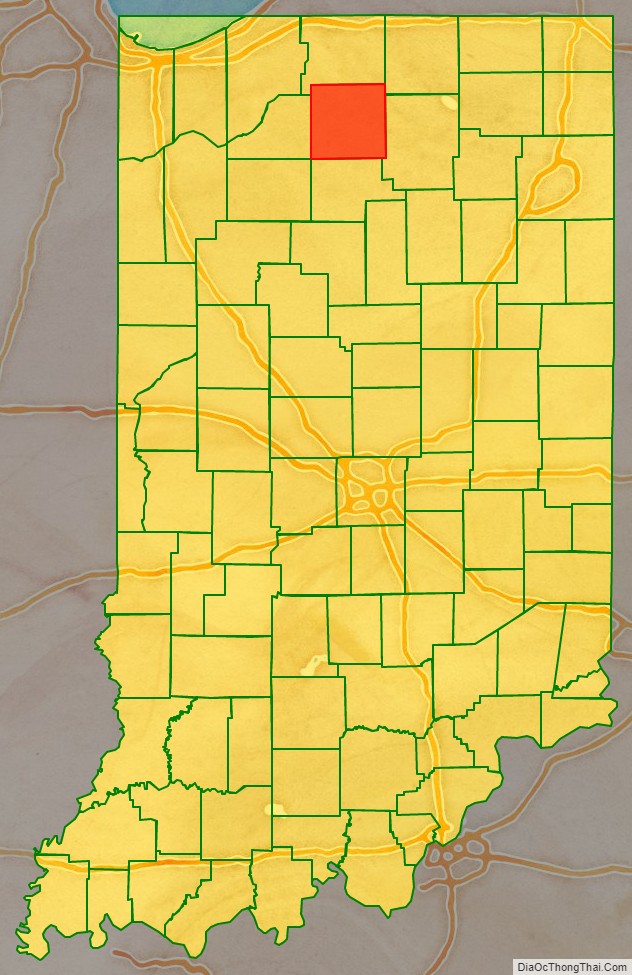
Marshall County location map. Where is Marshall County?
History
The Indiana State Legislature passed an omnibus county bill on 7 February 1835 that authorized the creation of thirteen counties in northeast Indiana, including Marshall. It was named for U.S. Chief Justice John Marshall, who died in 1835. The government of the county was organized in 1836, during the early years of settlement and before the forced removal of the Potawatomi people in 1838. The first settlers had arrived in the county in 1835; they arrived as a result of the end of the Black Hawk War as well as the completion of the Erie Canal. They consisted primarily of settlers from New England, “Yankees” descended from the English Puritans who settled New England in the colonial era. They were mainly members of the Congregational Church, although due to the Second Great Awakening many of them had converted to Methodism and some had become Baptists before migrating to the new area. As a result of this heritage, some place names in Marshall County are named after places in New England, such as Plymouth, which is named after Plymouth, Massachusetts, the site where the Mayflower landed in 1620.
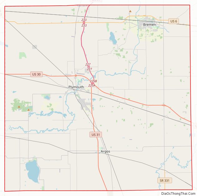
Marshall County Road Map
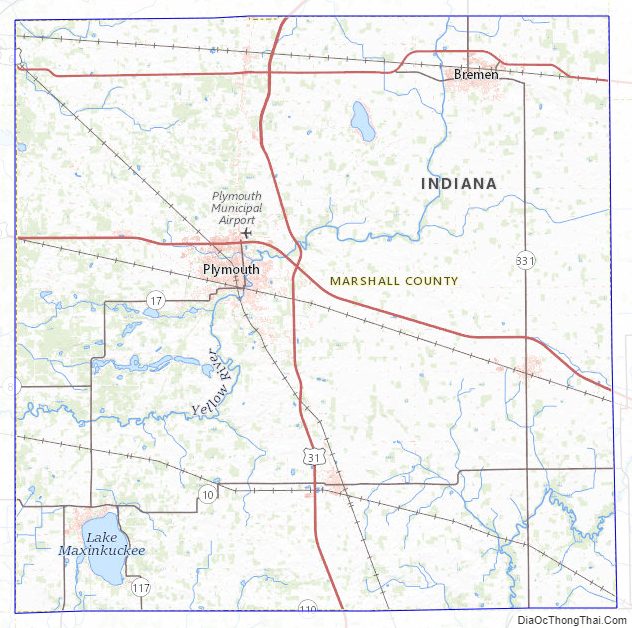
Geography
The low, rolling hills of Marshall County are completely devoted to agriculture where possible (significant drainages are wooded). The highest points on the terrain are three approximately equal swells (900’/274 meters ASL) along the south border line with Fulton County, 1.4 mile (2.2 km) NW of Richland Center.
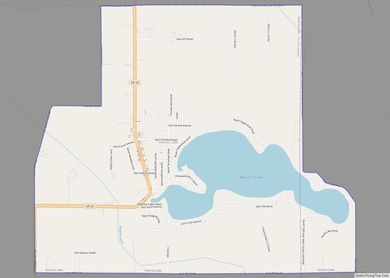
Marshall County contains three significant bodies of water: Lake of the Woods (NE portion); Lake Maxinkuckee (SW portion); and part of Koontz Lake (NW portion). The Yellow River flows through northern, central, and western portions of Marshall County, past Plymouth; the Tippecanoe River flows southwesterly through the SE part of the county.
According to the 2010 census, Marshall County has a total area of 449.74 square miles (1,164.8 km), of which 443.63 square miles (1,149.0 km) (or 98.64%) is land and 6.11 square miles (15.8 km) (or 1.36%) is water.
Adjacent counties
- St. Joseph County – north
- Elkhart County – northeast
- Kosciusko County – east
- Fulton County – south
- Pulaski County – southwest
- Starke County – west/CST Border
Protected areas
- Menominee Wetland Conservation Area (W of Plymouth)
- Potawatomi Wildlife Park (on W bank of Tippecanoe River in SE county)
Major highways
- US 6
- US 30
- US 31
- SR 8
- SR 10
- SR 17
- SR 25
- SR 106
- SR 110
- SR 117
- SR 331
Marshall County Topographic Map
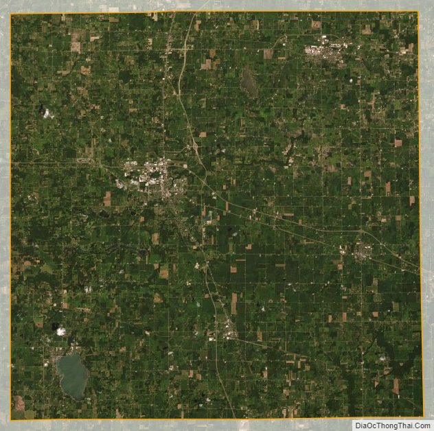
Marshall County Satellite Map
Marshall County Outline Map