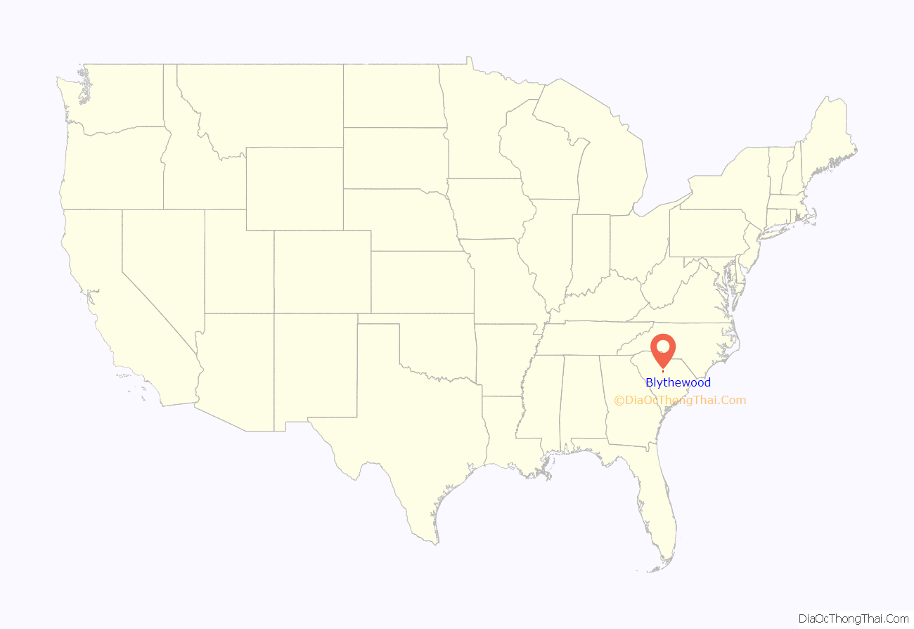
Blythewood is a town in Richland and Fairfield counties, South Carolina, United States. It is a suburb of Columbia, South Carolina. The 2020 United States census puts the population at 4,772. It is part of the Columbia, South Carolina, Metropolitan Statistical Area. It is located around 15 miles (24 kilometers) from downtown Columbia.
Blythewood Road is one of the main thoroughfares, intersecting Interstate 77 at Exit 27. U.S. Route 21 also goes through Blythewood, intersecting Interstate 77 at exit 24.
| Name: | Blythewood town |
|---|---|
| LSAD Code: | 43 |
| LSAD Description: | town (suffix) |
| State: | South Carolina |
| County: | Fairfield County, Richland County |
| Elevation: | 505 ft (152 m) |
| Total Area: | 10.71 sq mi (27.74 km²) |
| Land Area: | 10.63 sq mi (27.53 km²) |
| Water Area: | 0.08 sq mi (0.22 km²) |
| Total Population: | 4,772 |
| Population Density: | 448.96/sq mi (173.35/km²) |
| ZIP code: | 29016 |
| FIPS code: | 4507255 |
| GNISfeature ID: | 1245688 |
| Website: | www.townofblythewoodsc.gov |
Online Interactive Map
Click on ![]() to view map in "full screen" mode.
to view map in "full screen" mode.
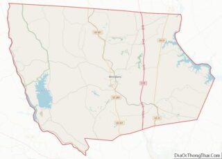
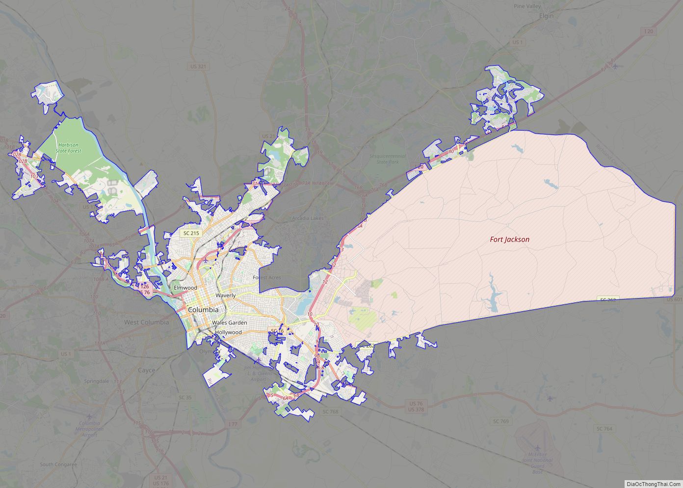
Blythewood location map. Where is Blythewood town?

History
Blythewood was originally named “Doko”, a Native American term for a watering place. The town was named after Doko Depot, which was a stop along the railroad that ran between Charlotte and Columbia. In 1865, this railroad was destroyed by General Sherman. The town was rebuilt, and changed its name to Blythewood in 1877, after a local school called The Blythewood Female Institute. The school was later renamed “Blythewood Academy”.
The George P. Hoffman House, built in 1855, is the oldest extant house in Blythewood and is used as the city hall. It was added to the National Register of Historic Places in 1986.
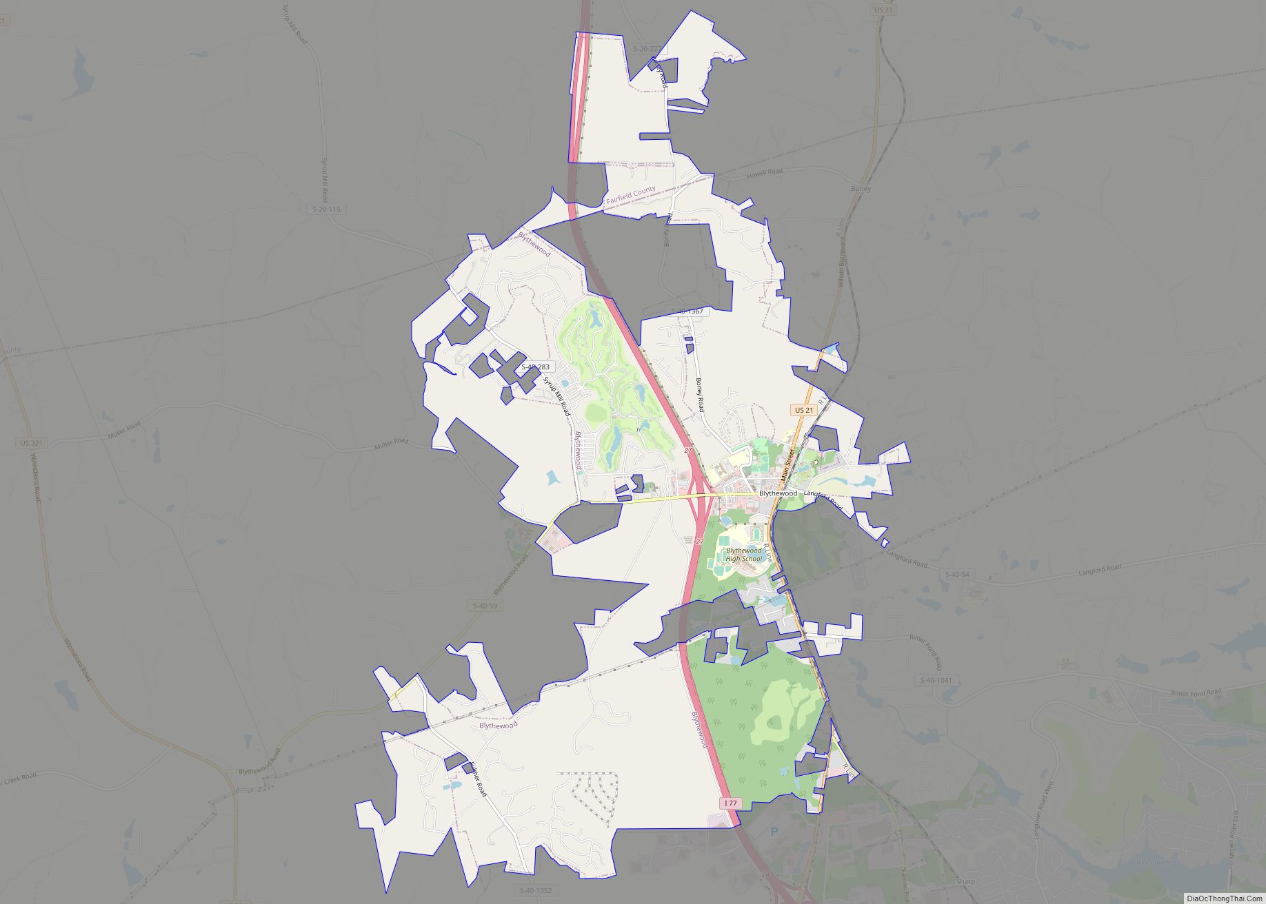
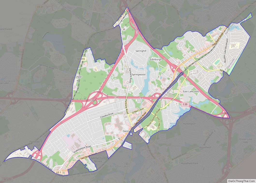
Blythewood Road Map

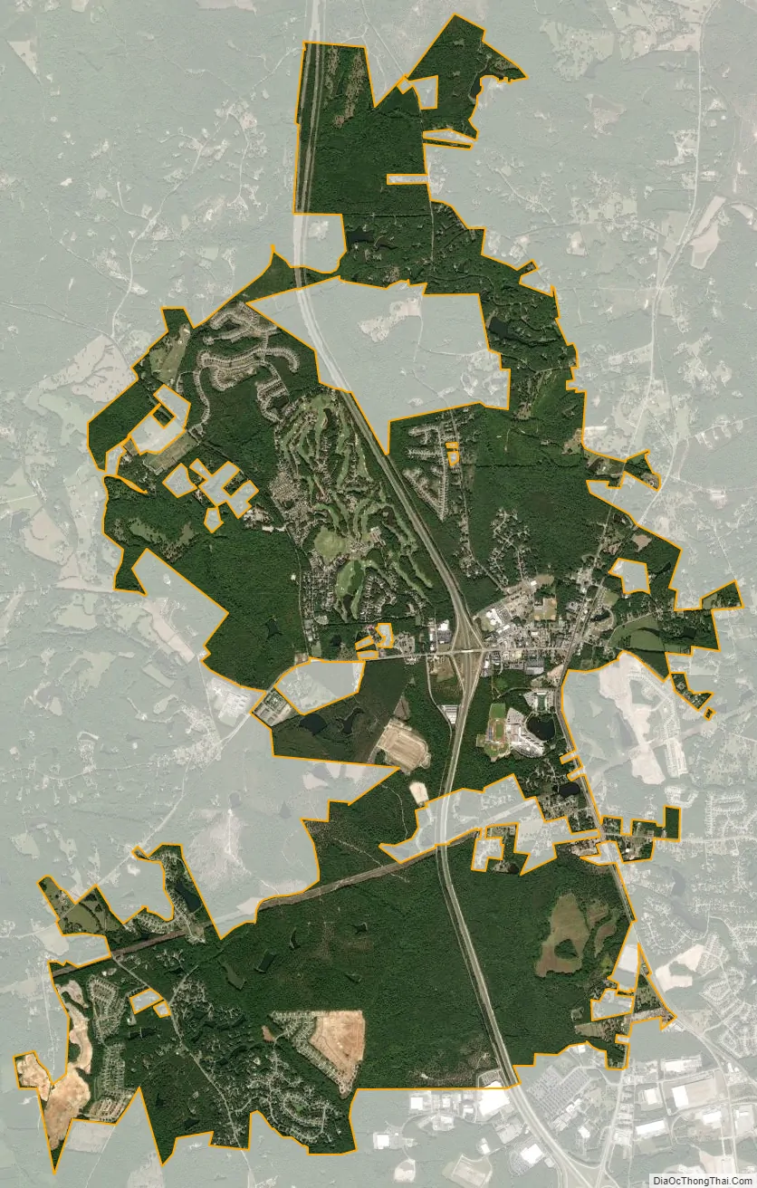
Blythewood city Satellite Map
Geography
Blythewood is located in the Piedmont region of South Carolina.
According to the United States Census Bureau, the town has a total area of 9.8 square miles (25.3 km), of which 9.7 square miles (25.1 km) is land and 0.077 square miles (0.2 km), or 0.79%. is water.
Climate
Climate is characterized by warm temperatures and moderate precipitation throughout the year. The Köppen Climate Classification subtype for this climate is “Cfa” (Humid Subtropical Climate).
See also
Map of South Carolina State and its subdivision:- Abbeville
- Aiken
- Allendale
- Anderson
- Bamberg
- Barnwell
- Beaufort
- Berkeley
- Calhoun
- Charleston
- Cherokee
- Chester
- Chesterfield
- Clarendon
- Colleton
- Darlington
- Dillon
- Dorchester
- Edgefield
- Fairfield
- Florence
- Georgetown
- Greenville
- Greenwood
- Hampton
- Horry
- Jasper
- Kershaw
- Lancaster
- Laurens
- Lee
- Lexington
- Marion
- Marlboro
- McCormick
- Newberry
- Oconee
- Orangeburg
- Pickens
- Richland
- Saluda
- Spartanburg
- Sumter
- Union
- Williamsburg
- York
- Alabama
- Alaska
- Arizona
- Arkansas
- California
- Colorado
- Connecticut
- Delaware
- District of Columbia
- Florida
- Georgia
- Hawaii
- Idaho
- Illinois
- Indiana
- Iowa
- Kansas
- Kentucky
- Louisiana
- Maine
- Maryland
- Massachusetts
- Michigan
- Minnesota
- Mississippi
- Missouri
- Montana
- Nebraska
- Nevada
- New Hampshire
- New Jersey
- New Mexico
- New York
- North Carolina
- North Dakota
- Ohio
- Oklahoma
- Oregon
- Pennsylvania
- Rhode Island
- South Carolina
- South Dakota
- Tennessee
- Texas
- Utah
- Vermont
- Virginia
- Washington
- West Virginia
- Wisconsin
- Wyoming