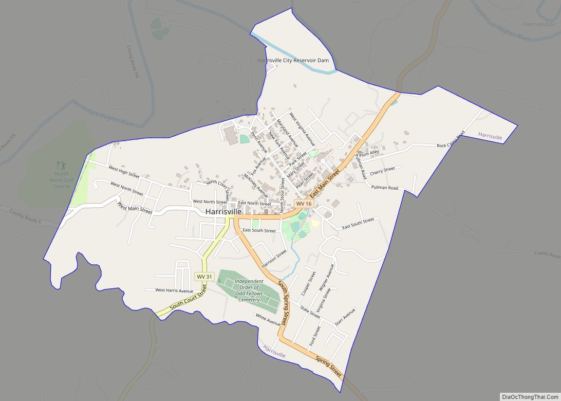
Harrisville is a town in Ritchie County, West Virginia, United States. It is the county seat of Ritchie County. Harrisville is located at the junction of State Routes 31 and 16, five miles south of U.S. 50. Within the community are an elementary school, the county board of education, many businesses, three banks, a library, offices of the Ritchie Gazette and The Pennsboro News, a municipal park, and North Bend Golf Course. North Bend Lake and North Bend State Park are located just outside town limits. Municipal elections are held every two years.
| Name: | Harrisville town |
|---|---|
| LSAD Code: | 43 |
| LSAD Description: | town (suffix) |
| State: | West Virginia |
| County: | Ritchie County |
| Elevation: | 856 ft (261 m) |
| Total Area: | 1.59 sq mi (4.13 km²) |
| Land Area: | 1.58 sq mi (4.10 km²) |
| Water Area: | 0.01 sq mi (0.03 km²) |
| Total Population: | 1,661 |
| Population Density: | 1,056.82/sq mi (408.08/km²) |
| ZIP code: | 26362 |
| Area code: | 304 |
| FIPS code: | 5435428 |
| GNISfeature ID: | 1540017 |
Online Interactive Map
Click on ![]() to view map in "full screen" mode.
to view map in "full screen" mode.
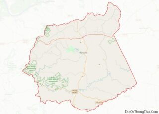
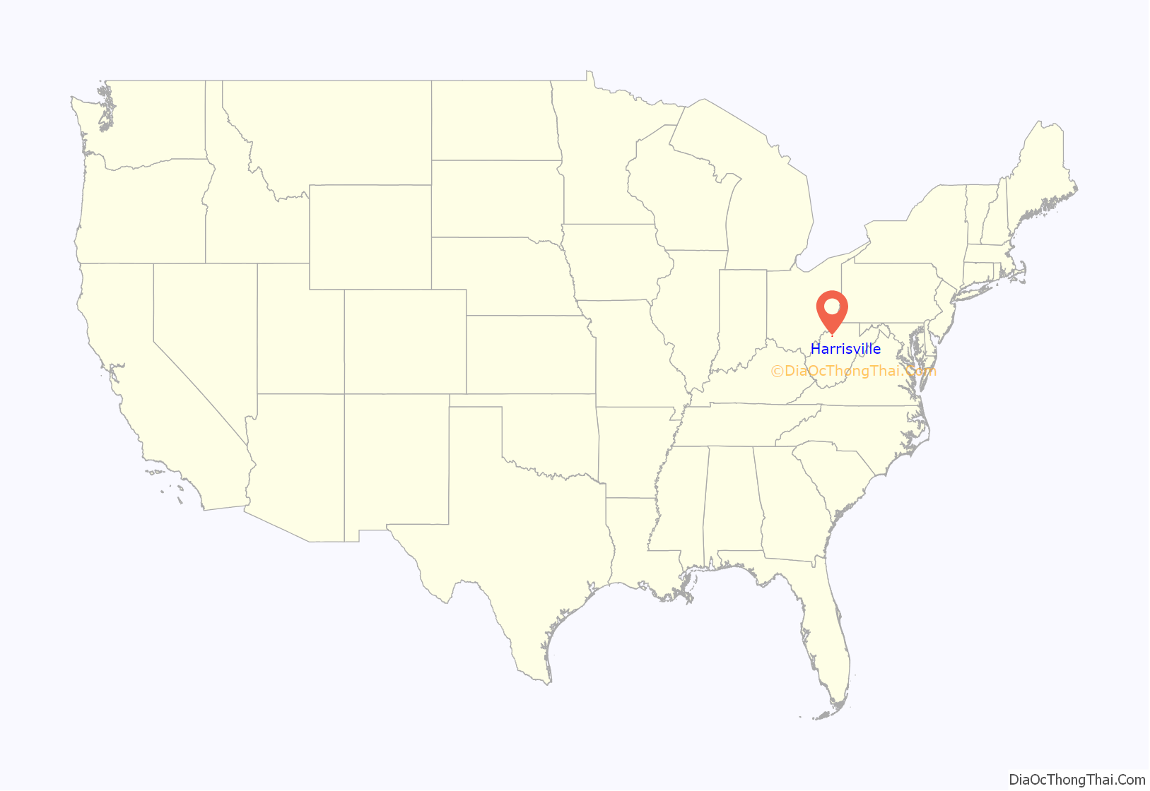
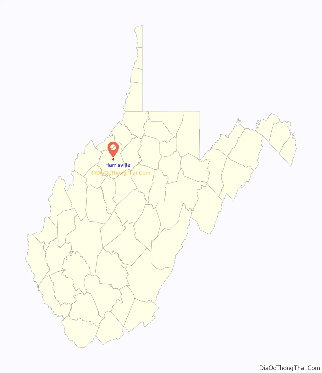
Harrisville location map. Where is Harrisville town?
History
The town was laid out in 1822 by Thomas Harris, who had moved his family there in 1807. The town was chartered in 1832, and the first post office opened in 1833, under the name Solus. The name was later changed to Ritchie Court House, and then changed again to Harrisville in 1895, when the town was named for Gen. Thomas Harris, nephew of the founder. Ritchie County was formed in 1843, and the first courthouse was built in 1844. It was replaced by a brick structure in 1874. The present courthouse, a Harrisville landmark, was completed in late 1923.
The Pennsboro & Harrisville Railroad was built in 1875, operating between the two communities of its name. The broad-gauge Harrisville Southern Railroad ran to Cornwallis between about 1909 and 1929.
Harrisville High School was established on the west end of town in 1894. That structure now houses the General Thomas M. Harris School Museum. A new school built overlooking Harrisville in 1924 served as Harrisville High School until 1986. The same school building served as Ritchie County High School until it was closed in 1994. The school building was demolished on December 16, 2017. A small portion of the original school building remains and is the headquarters of “Ritchie Regional Health Center.” The Harrisville High School gym still remains and is now a community workout center using the name “The Gym,” restored by the Harrisville First Assembly of God using funds generated from grants, memberships and donations.
General Harris, Harrisville’s most distinguished citizen, died there in 1906. A medical doctor, Union officer and state adjutant general (1869-1871), he served on the military commission that tried the conspirators responsible for the assassination of Abraham Lincoln. His son, John T. Harris, long-time clerk of the state Senate, founded the West Virginia Blue Book in 1916. The Harrisville Historic District was listed on the National Register of Historic Places in 2011.
The Harrisville Historic District, Harrisville Grade School, and the Ritchie County Courthouse are listed on the National Register of Historic Places.
The town is home to historic Berdine’s Five and Dime.
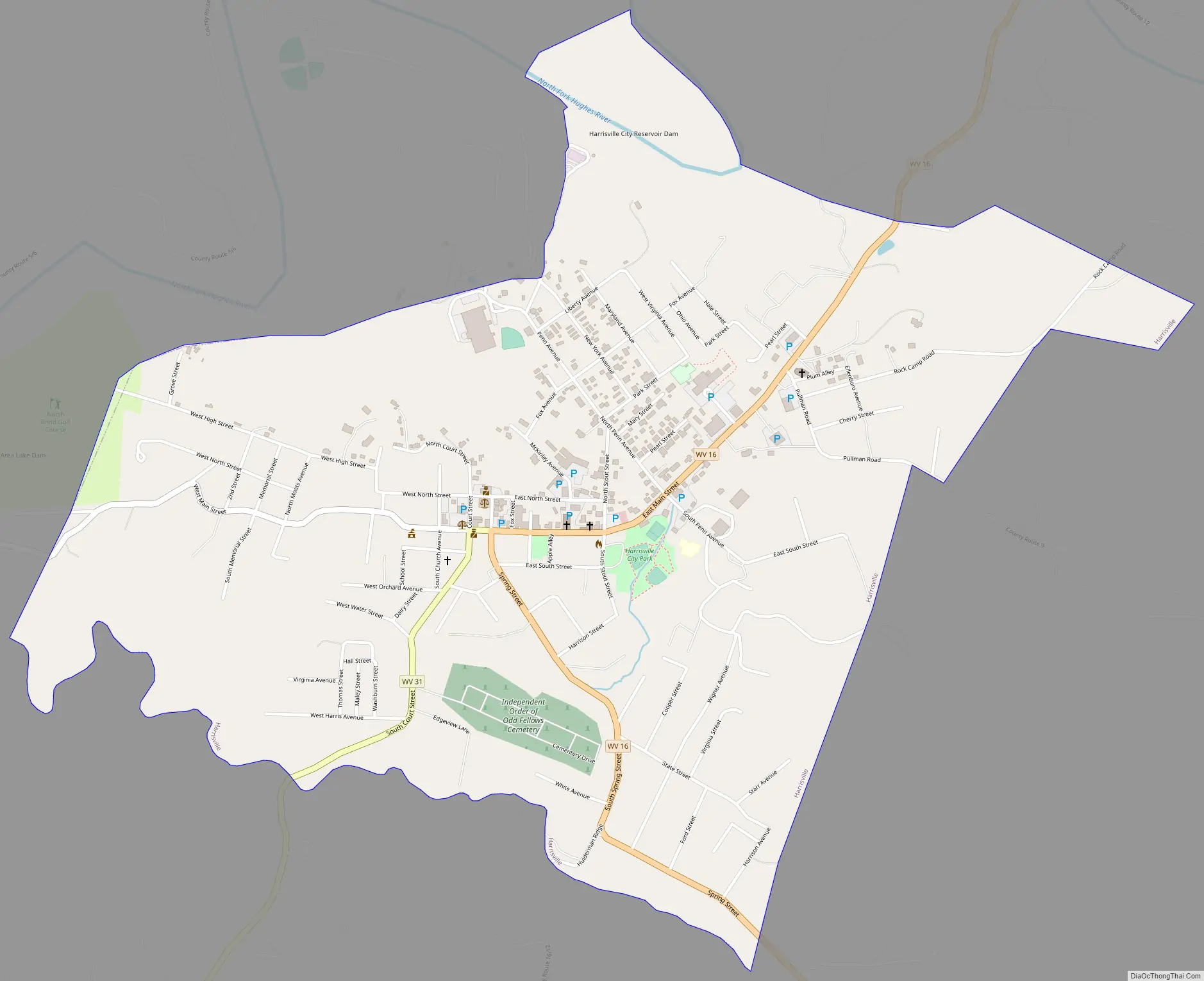
Harrisville Road Map
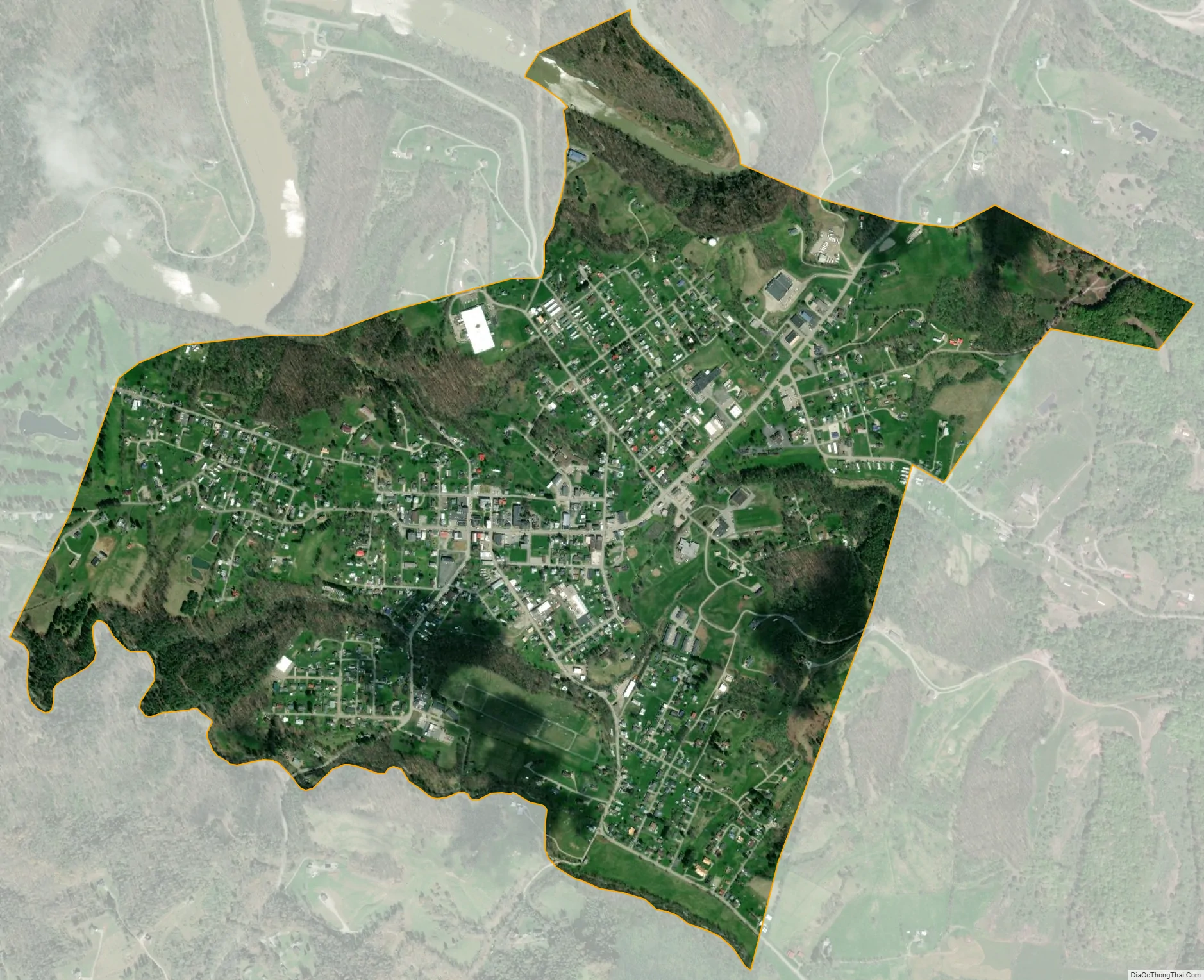
Harrisville city Satellite Map
Geography
Harrisville is located at 39°12′36″N 81°3′3″W / 39.21000°N 81.05083°W / 39.21000; -81.05083 (39.209866, -81.050917).
According to the United States Census Bureau, the town has a total area of 1.59 square miles (4.12 km), of which 1.58 square miles (4.09 km) is land and 0.01 square miles (0.03 km) is water.
See also
Map of West Virginia State and its subdivision:- Barbour
- Berkeley
- Boone
- Braxton
- Brooke
- Cabell
- Calhoun
- Clay
- Doddridge
- Fayette
- Gilmer
- Grant
- Greenbrier
- Hampshire
- Hancock
- Hardy
- Harrison
- Jackson
- Jefferson
- Kanawha
- Lewis
- Lincoln
- Logan
- Marion
- Marshall
- Mason
- McDowell
- Mercer
- Mineral
- Mingo
- Monongalia
- Monroe
- Morgan
- Nicholas
- Ohio
- Pendleton
- Pleasants
- Pocahontas
- Preston
- Putnam
- Raleigh
- Randolph
- Ritchie
- Roane
- Summers
- Taylor
- Tucker
- Tyler
- Upshur
- Wayne
- Webster
- Wetzel
- Wirt
- Wood
- Wyoming
- Alabama
- Alaska
- Arizona
- Arkansas
- California
- Colorado
- Connecticut
- Delaware
- District of Columbia
- Florida
- Georgia
- Hawaii
- Idaho
- Illinois
- Indiana
- Iowa
- Kansas
- Kentucky
- Louisiana
- Maine
- Maryland
- Massachusetts
- Michigan
- Minnesota
- Mississippi
- Missouri
- Montana
- Nebraska
- Nevada
- New Hampshire
- New Jersey
- New Mexico
- New York
- North Carolina
- North Dakota
- Ohio
- Oklahoma
- Oregon
- Pennsylvania
- Rhode Island
- South Carolina
- South Dakota
- Tennessee
- Texas
- Utah
- Vermont
- Virginia
- Washington
- West Virginia
- Wisconsin
- Wyoming